
Santiago de Compostela Pilgrims Way
Description
- Name Santiago de Compostela Pilgrims Way
- End of trail Santiago de Compostela
- Traildino grading MW, Moderate walk, backpacking trail
- Hut tour grading T1, Walk


Ever since the year 813, when the tomb of St.James was claimed to be (re-)discovered there, the city of Santiago de Compostela in northwestern Spain has attracted many thousands of Christian pilgrims from all parts of Europe, particularly in the Middle Ages. As a result, there is no single route or trail. Of course, it all depends on where you start your pilgrimage.
Almost every West European country has an association, society or confraternity dedicated to pilgrimage to Santiago de Compostela, often carrying the name of the apostle involved: St.James, known by numerous translations such as Sint Jacob, Sint Jakobus, Saint-Jacques, Sankt Jakob, Sant Iago, etc. These organisations all provide information on the pilgrimage to their members, and also issue an official internationally recognized ‘pilgrim pass'. Having collected the correct stamps en route, pass-holders are entitled to the official ‘Compostela' certificate to prove that the pilgrimage was accomplished as intended.
Visit Traildino's overview page for the Way of Saint James / Camino de Santiago.
Map


Links
Facts
Reports
Guides and maps
Lodging
Organisations
Tour operators
GPS
Other
Books

United Kingdom
- Pilgrimage: The Great Pilgrim Routes of Britain and Europe
- Shortlisted for a 2018 Edward Stanford Travel Writing Award.Ten historic pilgrim routes of Western Europe, inspiration for today`s long distance walker. Pilgrimage in Europe is thriving on a massive scale. In 1990 the cathedral at Santiago de Compostela recorded less than 5000 pilgrims: today that figure is at least 200,000 a year. Author Derry... Read more

United Kingdom
- Walking The Camino: A Modern Pilgrimage To Santiago
- In May 2006, armed only with a small rucksack and a staff, Tony Kevin, an overweight, sedentary, 63- year-old former diplomat, set off on an eight-week trek across Spain. But this was not just a very long walk - it was a pilgrimage. From Granada, in the southeast, to Santiago de Compostela, in the far northwest, Tony followed the Via Mozarabe... Read more

United Kingdom
- Call of the Camino
- The experiences of an ordinary man on the pilgrim`s path are charted in this narrative that walks along the Camino Frances to the shrine of Saint James at Santiago de Compostela and then on to Finisterre, the westernmost point of Spain. The history of the Camino is recounted, as well as several of the myths, legends, and miracle stories that... Read more

United Kingdom
2021
- Camino de Santiago: The ancient Way of Saint James pilgrimage route from the French Pyrenees to Santiago de Compostela
- El Camino de Santiago de Compostela, the ancient Christian pilgrimage route has been travelled for over a thousand years to the Cathedral of Santiago de Compostela, where, legend has it, the bones of St James are buried. This guide follows the most popular route, starting at St Jean-Pied-de-Port in south-west France and heading all the way... Read more

United Kingdom
2019
- Portugal`s Rota Vicentina: Alentejo and Algarve coastal route
- Guidebook to walking Portugal`s Rota Vicentina, a stunning 220km route down the southwestern Atlantic coast, through the Alentejo and Algarve districts. The route, which is suitable for all fit walkers and is not technically difficult, is described across 12 stages, making it perfect for a two-week holiday.Walkers who appreciate sunny days,... Read more

United Kingdom
2016
- St-Jacques-de-Compostelle - Puy-en-Velay to Moissac GR65-1 IGN 89020
- Chemin de St-Jacques - the Way of St James in France along the GR65 between Le Puy-en-Velay and Moissac presented at 1:100,000 on a double-sided, waterproof and tear-resistant map from IGN with cartography from their highly popular TOP100 series. The route is prominently highlighted on contoured mapping and annotated with hiking distances.... Read more

United Kingdom
2016
- St-Jacques-de-Compostelle - Moissac to Roncevaux / Roncesvalles GR65-2 IGN 89021
- Chemin de St-Jacques - the Way of St James in France along the GR65 between Moissac and Roncevaux/Roncesvalles in the Spanish Pyrenees presented at 1:100,000 on a double-sided, waterproof and tear-resistant map from IGN with cartography from their highly popular TOP100 series. The route is prominently highlighted on contoured mapping and... Read more

United Kingdom
- Les Chemins de St-Jacques au Pays Basque
- Les Chemins de St-Jacques au Pays Basque covers two routes of the Way of St James in the Basque country: le Chemin de Baztán and le Chemin de Saint-Palais á la côte. The former links Bayonne, Saint-Jean de Luz and Urdax, extending south to Pamplona; the latter links Sare to Saint Palais via Esplette. This is one of the titles in a series of... Read more

United Kingdom
2016
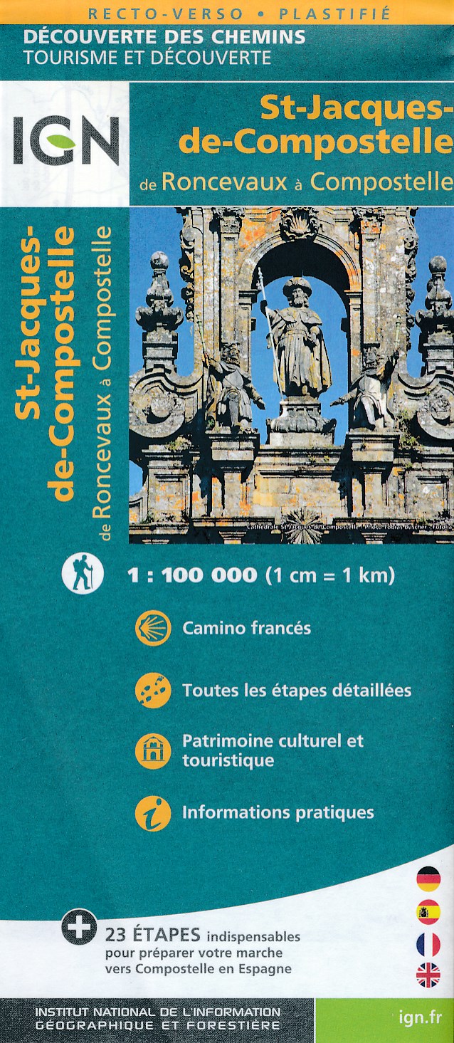
- Santiago de Compostela - Roncevaux / Roncesvalles to Santiago IGN 89022
- Camino Francés, the main route of the Way of St. James across northern Spain from Roncesvalles in the Pyrenees to Santiago de Compostela on a double-sided, waterproof and tear-resistant map from IGN France with cartography and tourist information identical to coverage of this route by Kompass map No. 133.The IGN map differs from Kompass map No.... Read more
- Also available from:
- De Zwerver, Netherlands
Netherlands
2016
- Wandelkaart - Pelgrimsroute (kaart) St-Jacques-de-Compostela, Camino Frances | IGN - Institut Géographique National
- St Jacques de Compostelle : de Roncevaux à CompostelleUne nouvelle série de cartes IGN pour découvrir les chemins mythiques, réalisée en partenariat avec les associations dédiées à ces chemins exceptionnels. Read more

United Kingdom
- Le Chemin du Vézelay: de la Bourgogne aux Pyrénéees
- Le Chemin du Vézelay: de la Bourgogne aux Pyrénéees covers the one of most popular routes of the Way of St. James in France, from the cathedral in Vézelay, across the La Charité-sur-Loire, Bourges, La Souterraine, Limoges, Périgueux, Ste-Foy-la-Grande, Bazas, Mont-de-Marsan and Orthez to Saint-Jean-Pied-de-Port.This title is part of a series of... Read more

United Kingdom
2015
- GR654 Chemins de St-Jacques: Vézelay - Périgueux FFRP Topo-guide No. 6542
- Chemins de St-Jacques: Vézelay - Périgueux, FFRP topoguide Ref. no. 6542, covering the 744km route along the GR654 the Way of St. Jamezs from Vézelay via Limoges to Périgueux. Current edition of this title was published in March 2015.ABOUT THE FFRP (Fédération française de la randonnée pédestre) TOPOGUIDES: published in a handy A5 paperback... Read more

United Kingdom
- Chemins de St.Jacques: Cluny/Lyon - Le Puy à pied
- Chemins de St.Jacques: Cluny/Lyon-Le Puy à pied from Chamina presents the route overprinted on IGN’s 1:50,000 topographic survey with details of accommodation, local services and other tourist information.Each stage is shown on extracts from IGN`s 1:50,000 topographic survey cross-referenced to the descriptions of the route. Symbols indicate... Read more

United Kingdom
2018
- Sentiers de St-Jacques via le Puy - Le Puy to Figeac GR65
- Chemins de St-Jacques: Le Puy - Figeac, FFRP topoguide Ref. no. 651, covering a 252km section of the Way of St. James across the Massif Central from Le Puy-en-Velay to Figeac along the GR 65. Current edition of this title was published in August 2014.ABOUT THE FFRP (Fédération française de la randonnée pédestre) TOPOGUIDES: published in a handy... Read more

United Kingdom
2015
- GR654 Sentier St-Jacques: Perigueux - Roncevaux FFRP Topo-guide No. 6543
- Sentier St-Jacques: Perigueux - Roncevaux, FFRP topoguide Ref. no. 6543, covering the second part of the Way of St James route along the GR654 which starts in Vézelay, the section from Perigueux to the Pyrenees. Also covered is an eastern route from Bergerac to Montréal-de-Gers. Current edition of this title was published in June 2014.ABOUT THE... Read more
- Also available from:
- De Zwerver, Netherlands

Netherlands
2015
- Wandelgids 6543 Sentier vers Saint-Jacques-de-Compostelle via Vezelay : Périgueux - Roncevaux - GR654 | FFRP
- Guide FFRandonnée Sentier vers St-Jacques-de-Compostelle : Périgueux-Ronceveaux. GR 654. Voie de Vézelay vers Compostelle : suite de l'itinéraire décrit dans le topo-guide réf. 6542 'Sentier vers St-Jacques-de-Compostelle : Vézelay-Périgueux'.Passé le seuil du Périgord blanc,... Read more

United Kingdom
2017
- Sentiers de St- Jacques via le Puy - Moissac to Roncevaux GR65
- Continuation and end of the Puy road, through Quercy, Béarn and Basque Country. More than 15 days of hiking.Chemins de St- Jacques: Moissac - Roncevaux (Roncesvalles), FFRP topoguide Ref. no. 653, covering the last, 345-km long section of the Way of St. James in France along the GR65 between Le Puy-en-Velay to the Spanish border. Current... Read more
Maps

United Kingdom
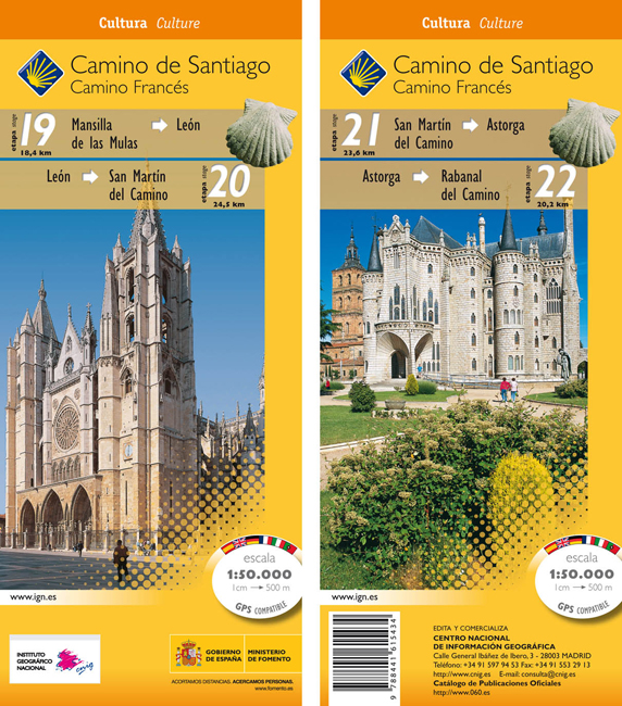
- Camino de Santiago: Stages 19/20/21/22, Mansilla de las Mulas/Rabanal del Camino 50K CNIG Map
- Camino de Santiago: Stages 19/20/21/22, Mansilla de las Mulas/Rabanal del Camino, in a series of double-sided topographic maps at 1:50,000 from the Spanish civilian survey organization, overprinted with the route and sights, plus information of accommodation and other facilities, route profiles, etc.Each 1:50,000 map is double-sided and has... Read more
- Also available from:
- De Zwerver, Netherlands
Netherlands
- Wandelkaart 19-22 Camino Santiago de Compostella Mansilla - Rabanal | CNIG - Instituto Geográfico Nacional
- Camino de Santiago: Stages 19/20/21/22, Mansilla de las Mulas/Rabanal del Camino, in a series of double-sided topographic maps at 1:50,000 from the Spanish civilian survey organization, overprinted with the route and sights, plus information of accommodation and other facilities, route profiles, etc.Each 1:50,000 map is double-sided and has... Read more

United Kingdom
- The Way of St. James to Compostela: Spanish Section
- The main route of the Way of St James to Compostela across northern Spain presented at 1:100,000 on a durable, waterproof and tear-resistant map from Kompass, arranged as 26 separate strips, each with a route profile, plus additional street plans of central Logroño, Burgos, León and Santiago itself.The whole route is covered on 26 panels, each... Read more
- Also available from:
- De Zwerver, Netherlands

Netherlands
- Wandelkaart - Pelgrimsroute (kaart) 133 Spanischer Jakobsweg | Kompass
- The main route of the Way of St James to Compostela across northern Spain presented at 1:100,000 on a durable, waterproof and tear-resistant map from Kompass, arranged as 26 separate strips, each with a route profile, plus additional street plans of central Logro Read more

United Kingdom
- Way of St James / Camino de Santiago CNIG Overview Map
- Northern Spain on an overview map at 1:500,000 highlighting the course of the Camino Francés route of the Way of St James from the Pyrenees to Santiago de Compostela via Burgos and León. Published by Spain’s civilian survey organization as part of their set providing topographic coverage of the route at 1:50,000, the map is also available... Read more
- Also available from:
- De Zwerver, Netherlands

Netherlands
- Wegenkaart - landkaart Camino de Santiago - Camino Frances | CNIG - Instituto Geográfico Nacional
- Northern Spain on an overview map at 1:500,000 highlighting the course of the Camino Francés route of the Way of St James from the Pyrenees to Santiago de Compostela via Burgos and León. Published by Spain’s civilian survey organization as part of their set providing topographic coverage of the route at 1:50,000, the map is also available... Read more

United Kingdom
- Rías Baixas CNIG Map
- Rías Baixas region of Galicia in northern Spain on a contoured and GPS compatible map at 1:100,000 from IGN/CNIG using cartography of their civilian topographic survey of Spain. Coverage extends from north of Santiago de Compostela and Cape Finisterre to the Portuguese border.Contours are 100m intervals, enhanced by relief shading plus... Read more

United Kingdom
- Camino de Santiago: Stages 23/24/25/26, Rabanal del Camino/Triacastela 50K CNIG Map
- Camino de Santiago: Stages 23/24/25/26, Rabanal del Camino/Triacastela, in a series of double-sided topographic maps at 1:50,000 from the Spanish civilian survey organization, overprinted with the route and sights, plus information of accommodation and other facilities, route profiles, etc.Each 1:50,000 map is double-sided and has four 57 x... Read more
- Also available from:
- De Zwerver, Netherlands

Netherlands
- Wandelkaart 23-26 Camino Santiago de Compostella Rabanal - Triacastela | CNIG - Instituto Geográfico Nacional
- Camino de Santiago: Stages 23/24/25/26, Rabanal del Camino/Triacastela, in a series of double-sided topographic maps at 1:50,000 from the Spanish civilian survey organization, overprinted with the route and sights, plus information of accommodation and other facilities, route profiles, etc.Each 1:50,000 map is double-sided and has four 57 x... Read more

United Kingdom
- Lugo and Environs CNIG Map
- Lugo and its environs on a double-sided map combining a street plan with topographic mapping at 1:50,000 from the Instituto Geográfico Nacional – Centro Nacional de Información Geograficá, the country’s civilian survey organization.On one side is a street plan of the city showing the course along its streets of the Camino de Santiago – the Way... Read more

United Kingdom
- Caminos de Santiago / Ways of St. James on the Iberian Peninsula CNIG Overview Map
- All roads leading to Santiago de Compostela in the Iberian Peninsula are represented on this Caminos de Santiago / The Way of St. James Map. Routes highlighted on a physical map of the Iberian Peninsula at 1:1,250,000 from IGN/CNIG, Spain civilian topographic survey organization. The base map with altitude colouring and relief shading provides... Read more
- Also available from:
- De Zwerver, Netherlands

Netherlands
- Pelgrimsroute (kaart) - Wandelkaart Camino de Santiago in Spanje | CNIG - Instituto Geográfico Nacional
- All roads leading to Santiago de Compostela in the Iberian Peninsula are represented on this Caminos de Santiago / The Way of St. James Map. Routes highlighted on a physical map of the Iberian Peninsula at 1:1,250,000 from IGN/CNIG, Spain civilian topographic survey organization. The base map with altitude colouring and relief shading provides... Read more

United Kingdom
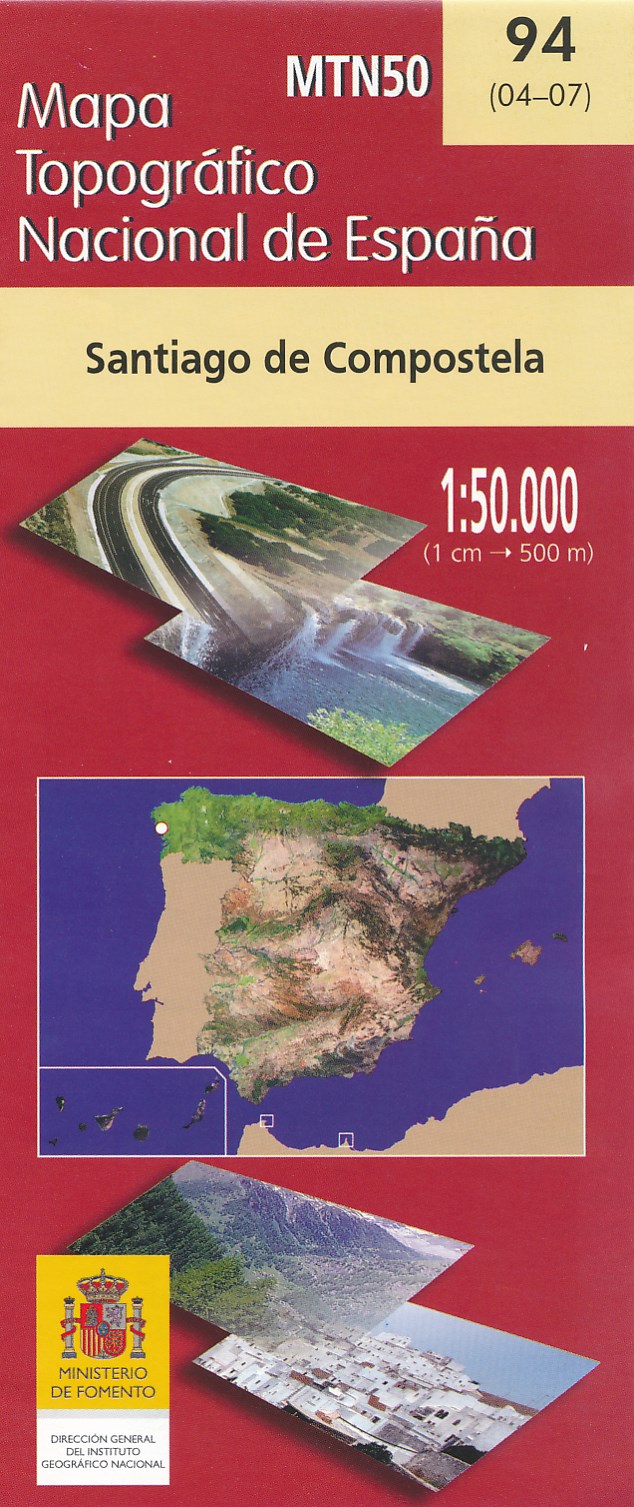
- Santiago de Compostella CNIG Topo 94
- Topographic coverage of mainland Spain at 1:50,000 in the MTN50 (Mapa Topográfico Nacional) series from the Centro Nacional de Información Geografica, the country’s civilian survey organization. The maps have contours at 20m intervals, enhanced by relief shading, plus colouring and/or graphics to show different types of terrain, vegetation or... Read more
- Also available from:
- De Zwerver, Netherlands
Netherlands
- Wandelkaart - Topografische kaart 94 Santiago de Compostela | CNIG - Instituto Geográfico Nacional
- Topographic coverage of mainland Spain at 1:50,000 in the MTN50 (Mapa Topogr Read more

United Kingdom
2010
- Camino de Santiago 50K CNIG Topo 11-Map Box Set
- The whole of Way of St James to Santiago de Compostela in a set of 11 maps: 10 double-sided topographic maps at 1:50,000 plus an overview map of northern Spain, published by the Spanish civilian survey organization.Each 1:50,000 map is double-sided and has four 57 x 35cm panels with full topographic mapping of the area through which the route... Read more

United Kingdom
- Caribbean Islands Western Half ITMB Travel Atlas
- The islands of the western Caribbean presented by ITMB in a handy size, A5, paperback, indexed atlas with city centre street plans of main cities. The mapping is taken from ITMB’s extensive coverage of the region on individual country maps, so scales vary. The atlas covers the Bahamas (1:500,000) with street plans of Nassau, New Providence and... Read more

United Kingdom
2013
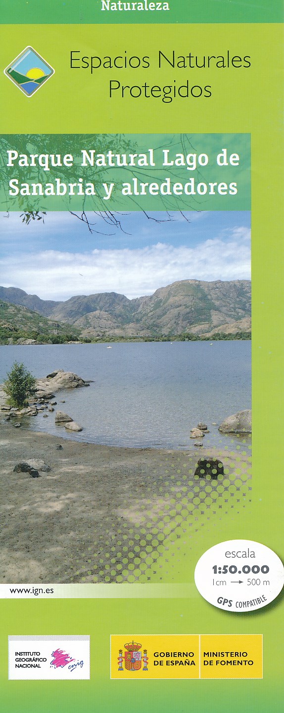
- Sanabria Lake and Surroundings NP CNIG Map
- Lago de Sanabria Natural Park and the surrounding area of north-eastern Spain near the Portuguese border on a detailed, GPS compatible topographic map at 1:50,000 from the country’s civilian survey organization, highlighting waymarked hiking trails, tourist accommodation and places of interest, etc.The map has the cartography of Spain’s... Read more
- Also available from:
- De Zwerver, Netherlands
Netherlands
2013
- Wandelkaart Parques Nacionales Parque Naturel Lago de Sanabria y alrededores | CNIG - Instituto Geográfico Nacional
- Lago de Sanabria Natural Park and the surrounding area of north-eastern Spain near the Portuguese border on a detailed, GPS compatible topographic map at 1:50,000 from the country Read more

United Kingdom
2021
- France - Ways of St James IGN Map 922
- France: Ways of St James to Compostela Map from the IGN presents an overview of all the routes across France taken by pilgrims on their way to Santiago de Compostela and the tomb of the apostle St James - the greatest of all goals for thousands of pilgrims in Europe during the Middle Ages. The map was prepared by the IGN and the Association de... Read more
- Also available from:
- De Zwerver, Netherlands

Netherlands
2021

United Kingdom
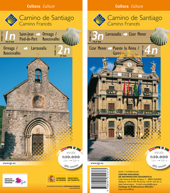
- Camino de Santiago: Stages 1n/2n/3n/4n, Saint-Jean-Pied-de-Port/Puente la Reina 50K CNIG Map
- The Way of St James: Stages 1n/2n/3n/4n, Saint-Jean-Pied-de-Port/Puente la Reina, in a series of double-sided topographic maps at 1:50,000 from the Spanish civilian survey organization, overprinted with the route and sights, plus information of accommodation and other facilities, route profiles, etc.Each 1:50,000 map is double-sided and has... Read more
- Also available from:
- De Zwerver, Netherlands
Netherlands
- Wandelkaart 1n-4n Camino Santiago de Compostella St-Jean - Puente Reina | CNIG - Instituto Geográfico Nacional
- The Way of St James: Stages 1n/2n/3n/4n, Saint-Jean-Pied-de-Port/Puente la Reina, in a series of double-sided topographic maps at 1:50,000 from the Spanish civilian survey organization, overprinted with the route and sights, plus information of accommodation and other facilities, route profiles, etc.Each 1:50,000 map is double-sided and has... Read more

United Kingdom
- Santiago del Teide - Tenerife CNIG Topo 1091-3
- Topographic coverage of the Canary Islands at 1:25,000 published by the Instituto Geográfico Nacional – Centro Nacional de Información Geografica, the country’s civilian survey organization. The maps have contours at 10m intervals and colouring and/or graphics to show different types of vegetation or land use. Boundaries of national parks and... Read more

United Kingdom
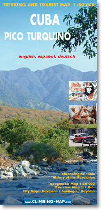
- Pico Turquino
- Pico Turquino, Cuba’s highest mountain, and the surrounding peaks and villages of the Sierra Maestra at 1:50,000 on an excellent map from the Swiss publishers Climbing Map, with a profile of the main hiking route, street plans of the two local tourist bases, Bayamo and Santiago de Cuba, as well as of Havana’s Old Town, plus notes on Cuban... Read more
- Also available from:
- De Zwerver, Netherlands
Netherlands
- Wandelkaart trekkingmap Cuba - Pico Turquino | Climbing-map
- Topographic trekking map 1:50'000; city maps of Havanna, Santiago de Cuba and Bayamo, general map 1:1 Mio, trekking route profile, Chronological table, The Cuban Revolution (Map and Text) Read more