
Peloponnesos
Description
Links
Facts
Reports
Guides and maps
Lodging
Organisations
Tour operators
GPS
Other
Books
De Zwerver
Netherlands
2019
Netherlands
2019


De Zwerver
Netherlands
2023
Netherlands
2023
Bol.com
Netherlands
2014
Netherlands
2014
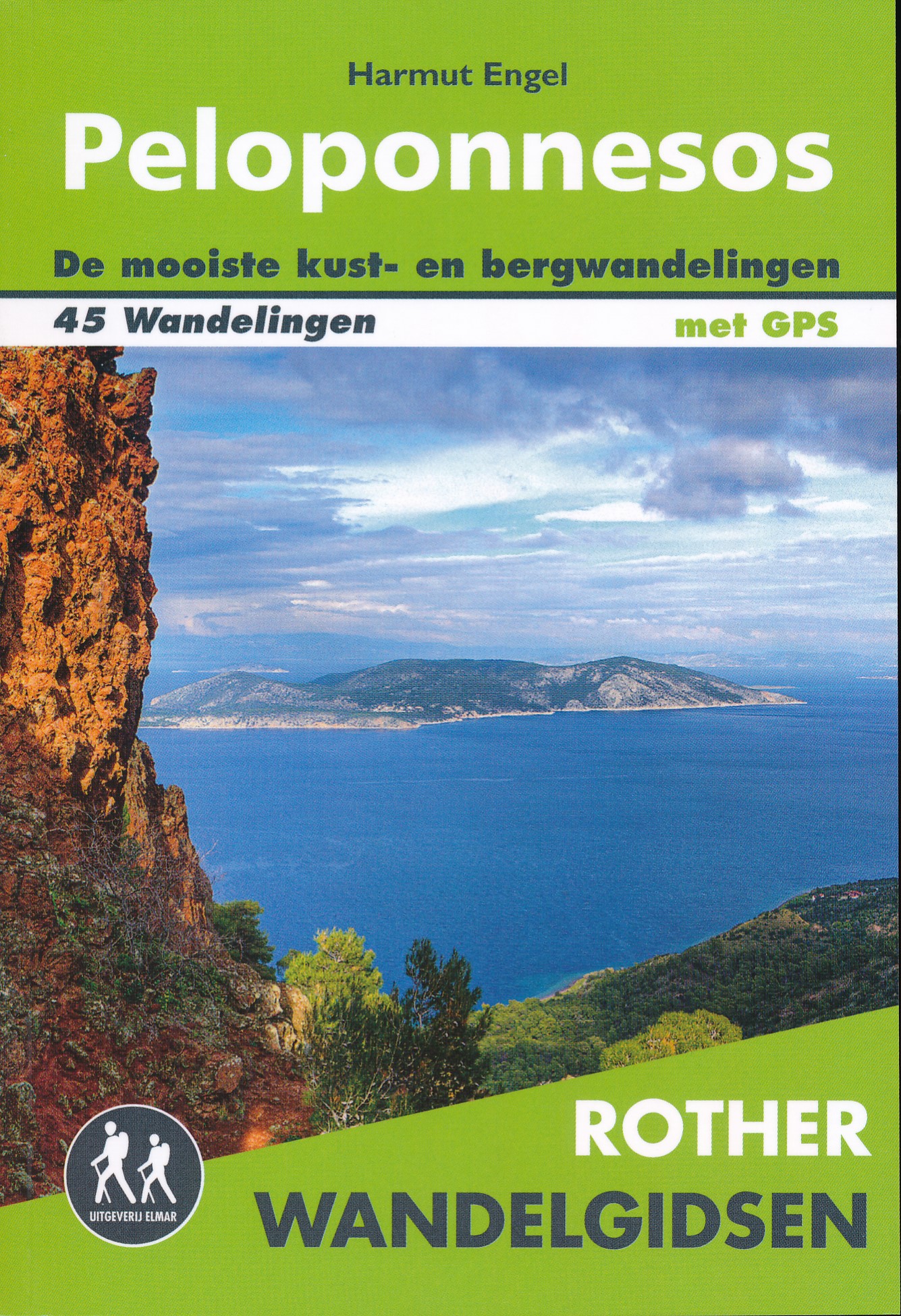
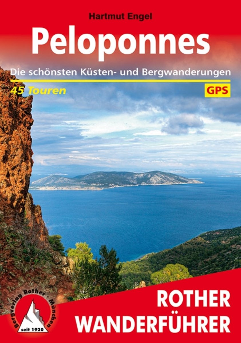
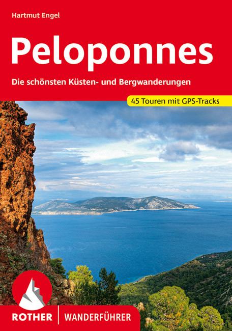
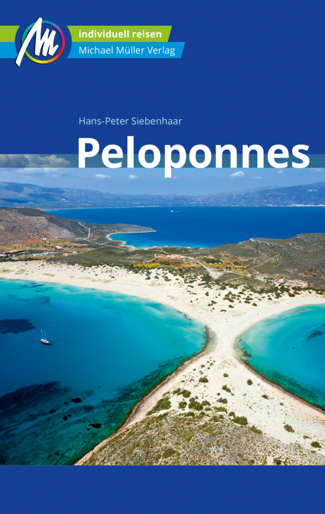
- Peloponnes
- 45 ausgew hlte Wanderungen auf dem Peloponnes zu einsamen Buchten, urspr nglichen Berg- und Fischerd rfern, hohen Gipfeln, atemberaubenden Schluchten und antiken St tten. Der Peloponnes ist vielleicht das Beste, was Griechenland landschaftlich und kulturhistorisch zu bie-ten hat. Auf der Halbinsel finden sich raue, unbewohnte Gebirge,... Read more
- Also available from:
- Bol.com, Belgium
- De Zwerver, Netherlands
Bol.com
Belgium
2014
Belgium
2014
- Peloponnes
- 45 ausgew hlte Wanderungen auf dem Peloponnes zu einsamen Buchten, urspr nglichen Berg- und Fischerd rfern, hohen Gipfeln, atemberaubenden Schluchten und antiken St tten. Der Peloponnes ist vielleicht das Beste, was Griechenland landschaftlich und kulturhistorisch zu bie-ten hat. Auf der Halbinsel finden sich raue, unbewohnte Gebirge,... Read more
De Zwerver
Netherlands
2022
Netherlands
2022
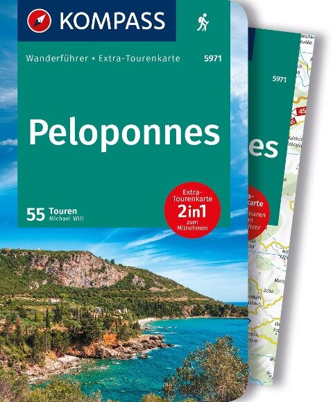
- Wandelgids Peloponnesos - Peloponnes | Rother Bergverlag
- Uitstekende wandelgids met een groot aantal dagtochten in dal en hooggebergte. Met praktische informatie en beperkt kaartmateriaal! Wandelingen in verschillende zwaarte weergegeven in rood/blauw/zwart. 160 Seiten mit 105 Farbabbildungen 40 Höhenprofile, 40 Wanderkärtchen im Maßstab 1:50.000/1:75.000, Übersichtskarten 40 ausgewählte Wanderungen... Read more

De Zwerver
Netherlands
2011
Netherlands
2011
- Reisgids Kunstreiseführer Peloponnes | Dumont
- Epochenschwerpunkte der Peloponnes sind das 2. Jahrtausend v. Chr. mit seiner faszinierenden, von Heinrich Schliemann wiederentdeckten prähistorischen Kultur der Mykener, der archaisch-klassischen griechischen Kunst vom 6. bis zum 4. Jh. v. Chr. und schließlich der späten Blüte der byzantinischen Kultur im 11. und 12. Jahrhundert. Der Autor... Read more
Bol.com
Netherlands
Netherlands
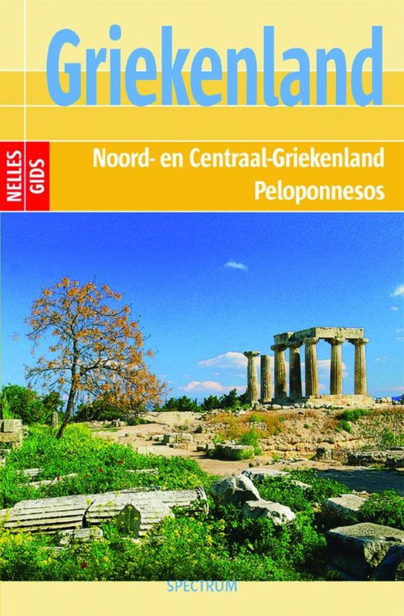
- Griekenland
- GRIEKENLANDREISBESTEMMINGEN Nelles Gids Griekenland brengt u van het bruisende leven in Athene via Korinthe, Epidauros en Mykene naar Mistrás in het zuiden van de Peloponnesos. Van Olympia gaat het verder naar Delphi aan het Parnassosmassief in Midden-Griekenland, waarna de gids u kennis laat maken met de byzantijnse kloosters van Meteora... Read more
- Also available from:
- Bol.com, Belgium
Bol.com
Belgium
Belgium
- Griekenland
- GRIEKENLANDREISBESTEMMINGEN Nelles Gids Griekenland brengt u van het bruisende leven in Athene via Korinthe, Epidauros en Mykene naar Mistrás in het zuiden van de Peloponnesos. Van Olympia gaat het verder naar Delphi aan het Parnassosmassief in Midden-Griekenland, waarna de gids u kennis laat maken met de byzantijnse kloosters van Meteora... Read more
More books…
Maps

Stanfords
United Kingdom
United Kingdom
- Lefkada Anavasi 9.1
- Lefkada / Lefkas in the Ionian Islands on light, a waterproof and tear-resistant, contoured and GPS compatible map at 1:40.000 from Anavasi, with on the reverse a street plan of the Lefkada Town, recommendations for hiking trails, general notes about the island, etc. Coverage includes the near-by island of Meganisi and part of the adjoining... Read more

Stanfords
United Kingdom
United Kingdom
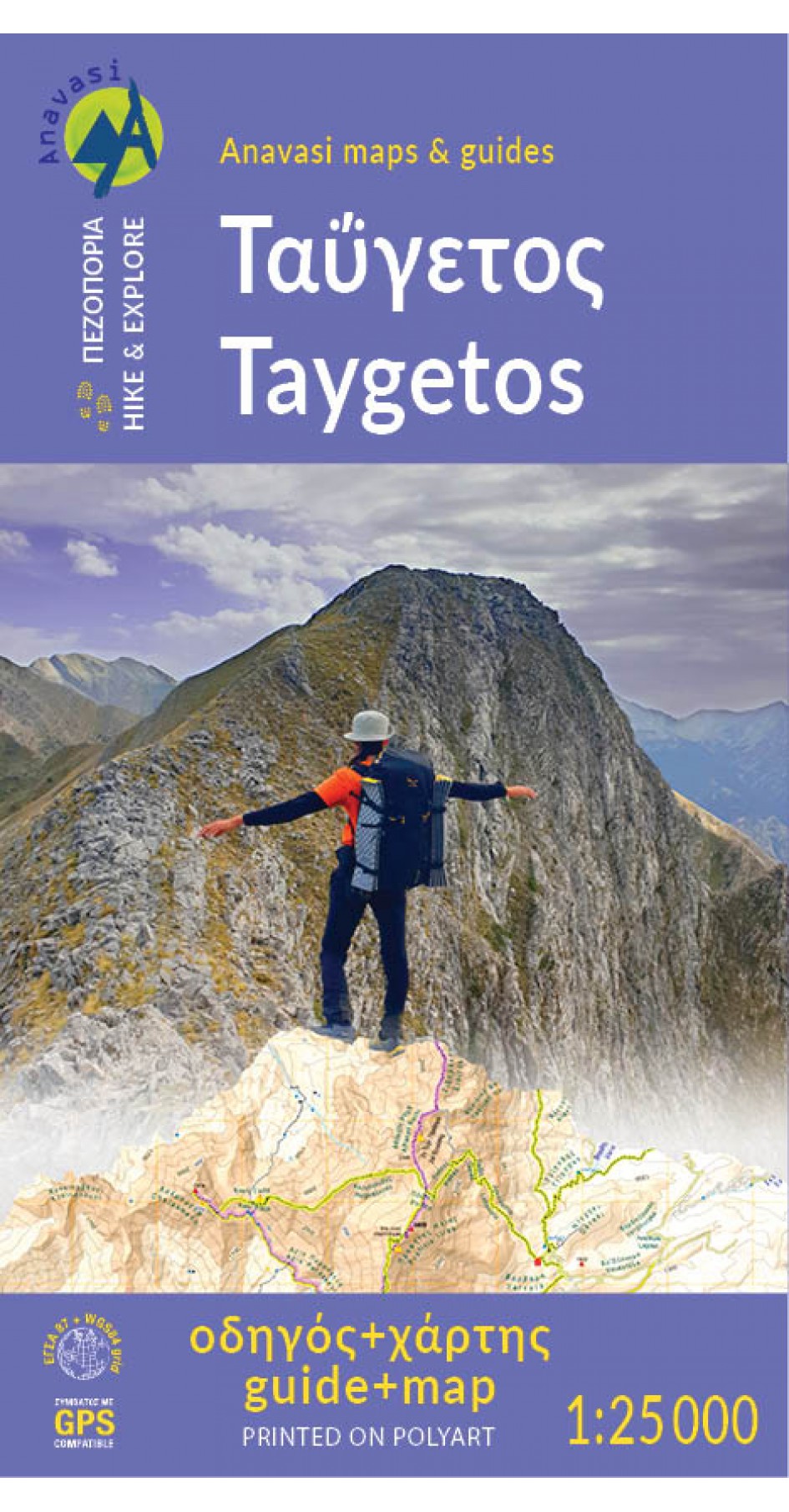
- Taygetos - North Taygetos Anavasi 8.1
- The Taygetos range between Sparta and Kalamata at 1:50,000 on a contoured, GPS compatible map from Anavasi with on the reverse a special map highlighting the region’s numerous hiking trails, including the course of the E4 European long-distance path.On one side is the main map of the area with excellent presentation of its topography by... Read more

Stanfords
United Kingdom
United Kingdom
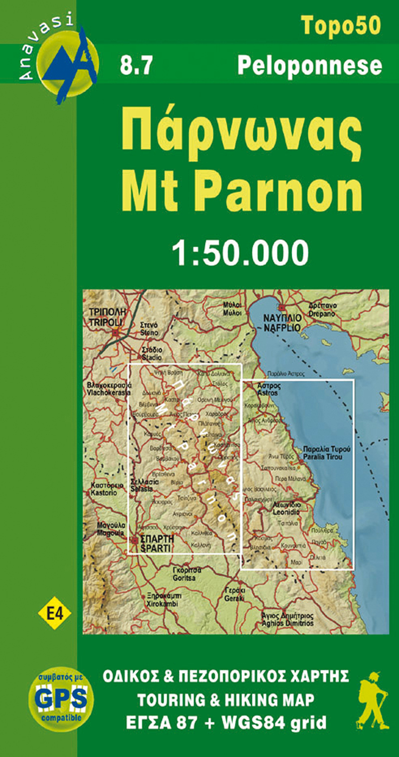
- Mt Parnon Anavasi 8.7
- Mt Parnon (Parnonas) in a series of waterproof and tear-resistant hiking maps at scales varying from 1:50,000 to 1:10,000, with a UTM grid for GPS users. Contour interval varies depending on the scale, on most maps it is 20m. Relief shading, spot heights, springs, seasonal streams and, in most titles, landscape/land-use variations, e.g.... Read more
- Also available from:
- The Book Depository, United Kingdom
- De Zwerver, Netherlands

The Book Depository
United Kingdom
United Kingdom
- Parnonas
- Mt Parnon (Parnonas) in a series of waterproof and tear-resistant hiking maps at scales varying from 1:50,000 to 1:10,000, with a UTM grid for GPS users. Contour interval varies depending on the scale, on most maps it is 20m. Relief shading, spot heights, springs, seasonal streams and, in most titles, landscape/land-use variations, e.g.... Read more
De Zwerver
Netherlands
Netherlands
- Wandelkaart 8.7 Mt. Parnon - Peloponnesos | Anavasi
- Mt Parnon (Parnonas) in a series of waterproof and tear-resistant hiking maps at scales varying from 1:50,000 to 1:10,000, with a UTM grid for GPS users. Contour interval varies depending on the scale, on most maps it is 20m. Relief shading, spot heights, springs, seasonal streams and, in most titles, landscape/land-use variations, e.g.... Read more

Stanfords
United Kingdom
United Kingdom
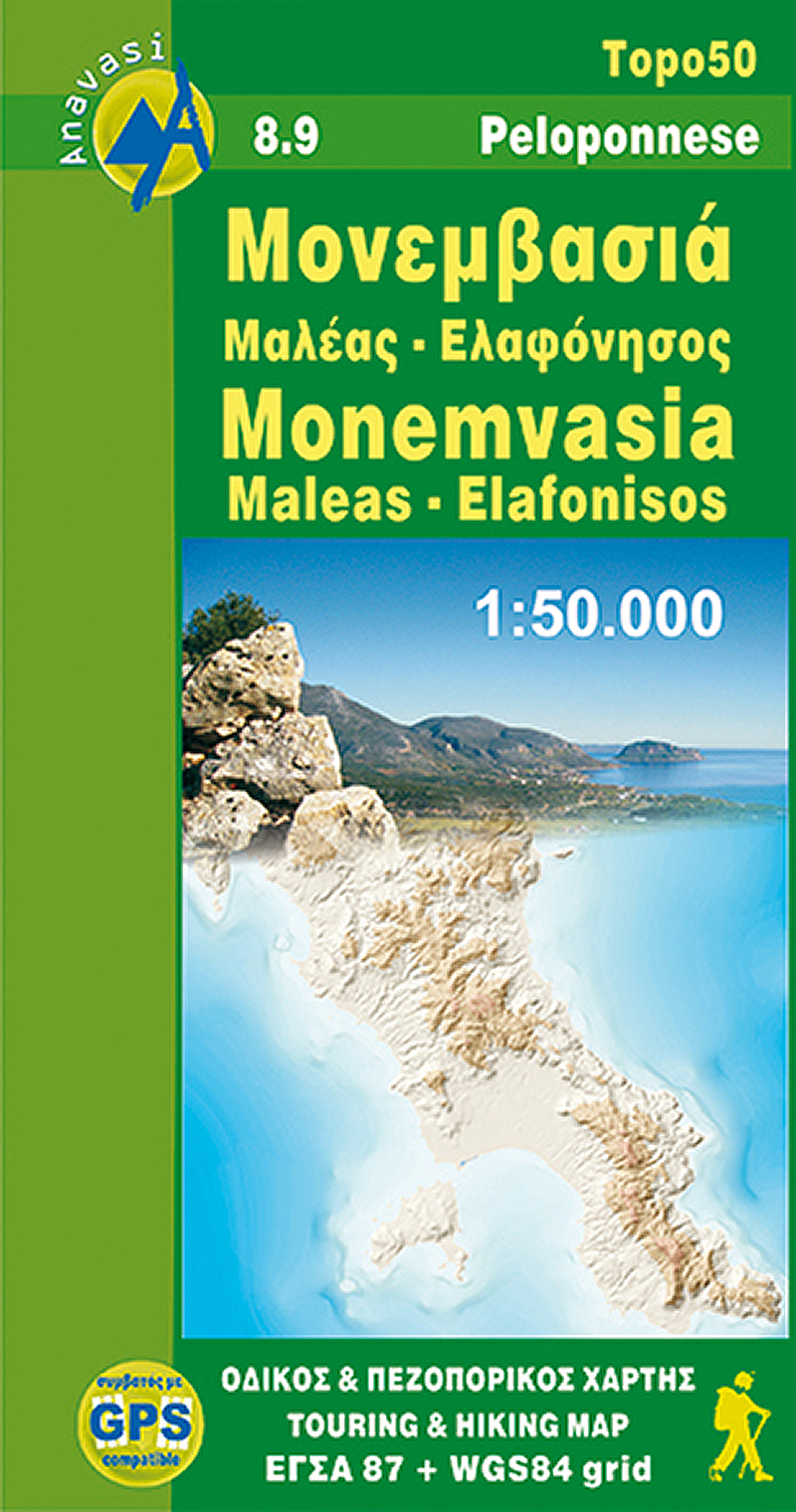
- Monemvasia - Maleas - Elafonisos Anavasi 8.9
- Monemvasia - Maleas - Elafonisos area, the eastern finger of the Peloponnese and the Elsfonisos Island, at 1:50,000 in a series of waterproof and tear-resistant hiking maps from Anavasi with a UTM grid for GPS users. On one side is a topographic map of the area with contours at 20m intervals and a 1-km UTM grid. On the reverse a simplified... Read more
- Also available from:
- The Book Depository, United Kingdom
- De Zwerver, Netherlands

The Book Depository
United Kingdom
United Kingdom
- Monemvasia - Maleas - Elafonisos
- Monemvasia - Maleas - Elafonisos area, the eastern finger of the Peloponnese and the Elsfonisos Island, at 1:50,000 in a series of waterproof and tear-resistant hiking maps from Anavasi with a UTM grid for GPS users. On one side is a topographic map of the area with contours at 20m intervals and a 1-km UTM grid. On the reverse a simplified... Read more
De Zwerver
Netherlands
Netherlands
- Wandelkaart 8.9 Monemvasia - Maleas - Peloponnesos | Anavasi
- Monemvasia - Maleas - Elafonisos area, the eastern finger of the Peloponnese and the Elsfonisos Island, at 1:50,000 in a series of waterproof and tear-resistant hiking maps from Anavasi with a UTM grid for GPS users. On one side is a topographic map of the area with contours at 20m intervals and a 1-km UTM grid. On the reverse a simplified... Read more

The Book Depository
United Kingdom
United Kingdom
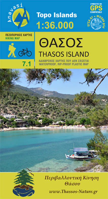
- Thasos
- Het eiland Thassos heeft een prachtige natuurlijke schoonheid. Het is rijk aan bossen en stranden, maar het eiland heeft ook oude mijntunnels en overblijfselen van de mijnen, oude torens die de kust bewaken en moderne steengroeven. Met deze kaart, die is gemaakt met de steun en samenwerking van de Environmental Association of Thasos, zijn er... Read more
- Also available from:
- De Zwerver, Netherlands
De Zwerver
Netherlands
Netherlands
- Wandelkaart 7.1 Thasos | Anavasi
- Het eiland Thassos heeft een prachtige natuurlijke schoonheid. Het is rijk aan bossen en stranden, maar het eiland heeft ook oude mijntunnels en overblijfselen van de mijnen, oude torens die de kust bewaken en moderne steengroeven. Met deze kaart, die is gemaakt met de steun en samenwerking van de Environmental Association of Thasos, zijn er... Read more

Stanfords
United Kingdom
United Kingdom
- Exo Mani - Verga - Kardamyli - Trachila Anavasi 8.10
- The northern part of the western coast of the Mani Peninsula, the “middle finger” of the Peloponnese, on a light, waterproof and tear-resistant, double-sided, contoured and GPS-compatible map at 1:20,000 from Anavasi highlighting 24 hiking trails and various facilities and places of interest. Coverage, with a good overlap between the sides,... Read more
- Also available from:
- The Book Depository, United Kingdom
- De Zwerver, Netherlands

The Book Depository
United Kingdom
United Kingdom
- Exo Mani 2018
- Uitstekende wandelkaart op scheur- en watervast papier van het wandelgebied rond Kardamyli maar ook nog met Agios Nikolaos. De wandelpaden staan er op ingetekend, zo ook alle bezienswaardigheden als klooster, kastelen en meerdere opgravingen. Mani is the middle and southernmost peninsula of the Peloponnese and is split between Laconia and... Read more

De Zwerver
Netherlands
Netherlands
- Wandelkaart 8.10 Exo Mani | Anavasi
- Uitstekende wandelkaart op scheur- en watervast papier van het wandelgebied rond Kardamyli maar ook nog met Agios Nikolaos. De wandelpaden staan er op ingetekend, zo ook alle bezienswaardigheden als klooster, kastelen en meerdere opgravingen. Mani is the middle and southernmost peninsula of the Peloponnese and is split between Laconia and... Read more
De Zwerver
Netherlands
Netherlands
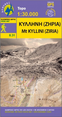
- Wandelkaart 8.31 Mt. Kyllini (Ziria) | Anavasi
- Ziria is de tweede hoogste berg van de Peloponnesos. Ondanks zijn hoogte heeft het een mild reliëf en vruchtbare gebieden. Grote plateaus en dalen kenmerkt dit berglandschap en onder hen liggen de twee grote bassins van Feneos en Stimfalia. De nieuwe Anavasi-kaart, in de schaal 1: 30.000, is dubbelzijdig en omvat het gebied rond de berg. Het... Read more

Stanfords
United Kingdom
United Kingdom
- Mt Erymanthos Anavasi 8.61
- Mt Erymanthos in a series of waterproof and tear-resistant hiking maps at scales varying from 1:50,000 to 1:10,000, with a UTM grid for GPS users. Contour interval varies depending on the scale, on most maps it is 20m. Relief shading, spot heights, springs, seasonal streams and, in most titles, landscape/land-use variations, e.g. forests,... Read more
- Also available from:
- De Zwerver, Netherlands
De Zwerver
Netherlands
Netherlands
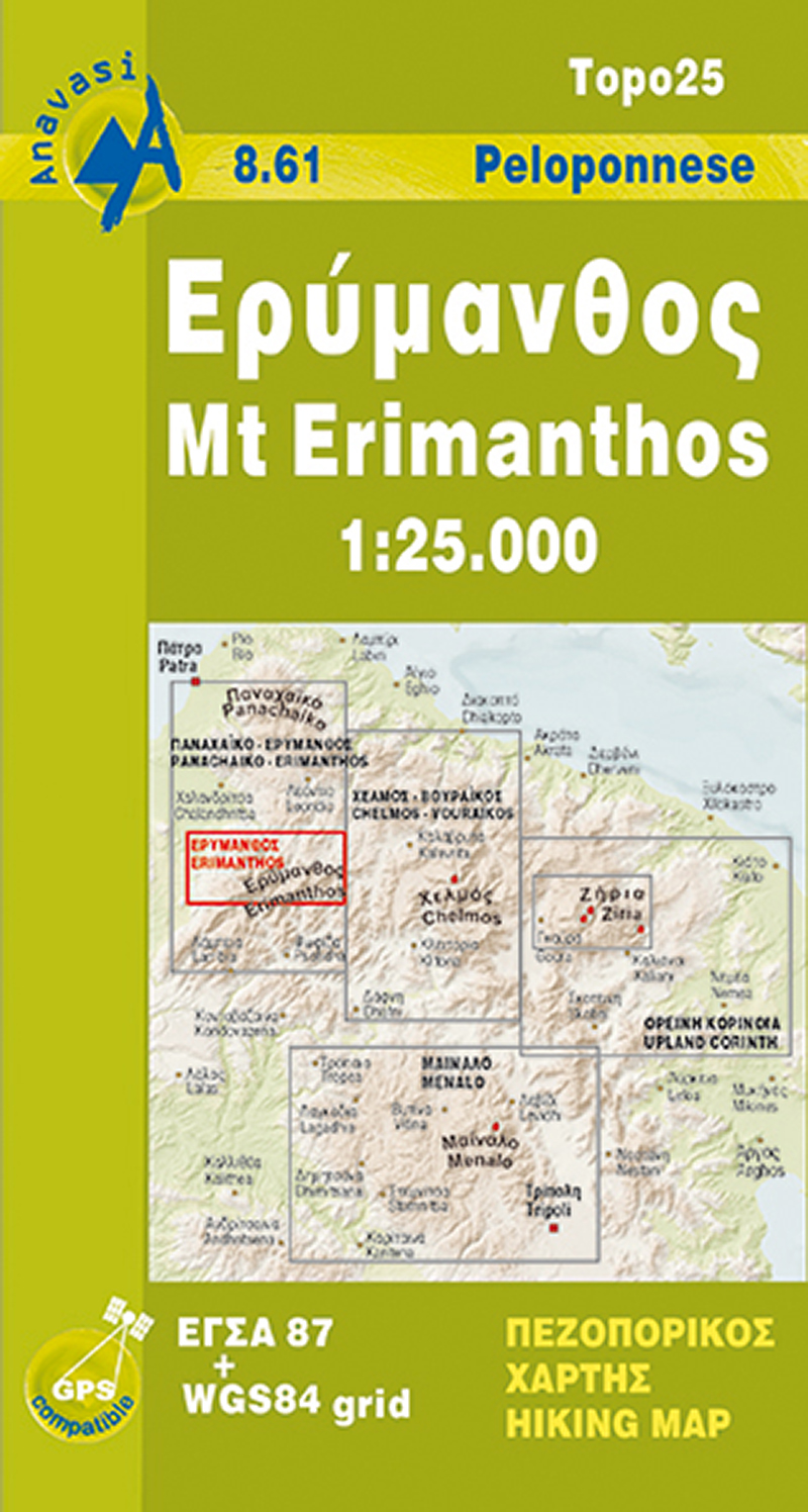
- Wandelkaart 8.61 Mt. Erimanthos - Peloponessos | Anavasi
- Mt Erymanthos in a series of waterproof and tear-resistant hiking maps at scales varying from 1:50,000 to 1:10,000, with a UTM grid for GPS users. Contour interval varies depending on the scale, on most maps it is 20m. Relief shading, spot heights, springs, seasonal streams and, in most titles, landscape/land-use variations, e.g. forests,... Read more
De Zwerver
Netherlands
Netherlands
- Wegenkaart - landkaart Peloponnese - Peloponnesos | Orama
- Peloponnese 1 : 450 000 ab 6.99 EURO Read more

Stanfords
United Kingdom
United Kingdom
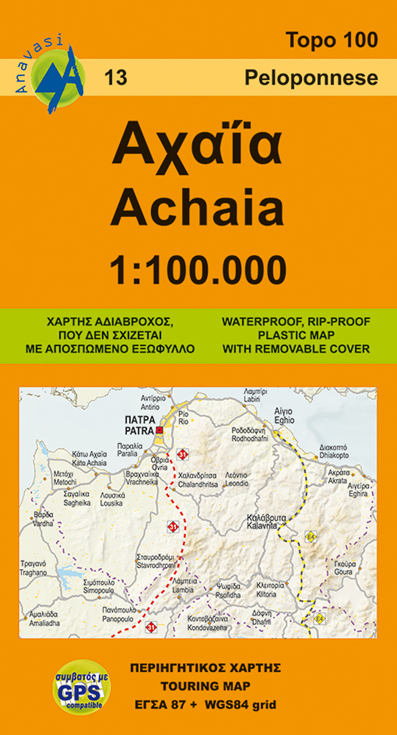
- Achaia Anavasi 13
- Achaia province with a plan of central Patras in a series from Anavasi covering selected popular areas of central mainland Greece and the Peloponnese with GPS compatible, detailed topographic road maps at 1:100,000, printed on waterproof and tear-resistant paper. The plan of central Patras is conveniently places on the detachable map... Read more
- Also available from:
- De Zwerver, Netherlands
De Zwerver
Netherlands
Netherlands
- Wegenkaart - landkaart 13 Achaia - deel Peloponnesos | Anavasi
- Achaia province with a plan of central Patras in a series from Anavasi covering selected popular areas of central mainland Greece and the Peloponnese with GPS compatible, detailed topographic road maps at 1:100,000, printed on waterproof and tear-resistant paper. The plan of central Patras is conveniently places on the detachable map... Read more
De Zwerver
Netherlands
Netherlands
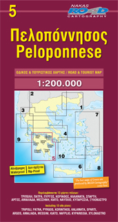
- Wegenkaart - landkaart 5 Peloponnese - Peloponnesos | Road Editions
- Peloponnese 1 : 200 000 ab 9.99 EURO Neuauflage Read more
De Zwerver
Netherlands
Netherlands

Stanfords
United Kingdom
2009
United Kingdom
2009
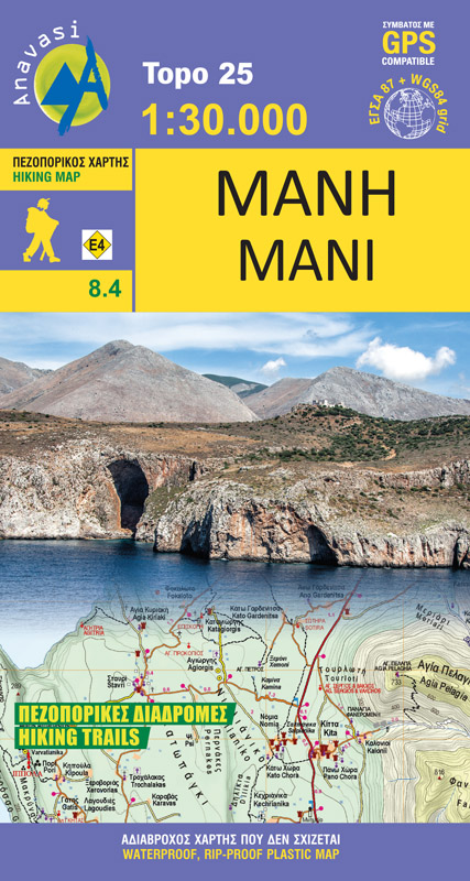
- Mani Anavasi 8.4
- The Mani Peninsula at 1:50,000 on light, waterproof and tear-resistant, contoured and GPS compatible map from Anavasi, showing local footpaths including descriptions for eight specially selected routes, etc. The map is double-sided, dividing the peninsula north/south with a very generous overlap between the sides.Topography is vividly presented... Read more
- Also available from:
- De Zwerver, Netherlands
De Zwerver
Netherlands
2009
Netherlands
2009
- Wandelkaart 8.4 Mani - Peloponnesos | Anavasi
- The Mani Peninsula at 1:50,000 on light, waterproof and tear-resistant, contoured and GPS compatible map from Anavasi, showing local footpaths including descriptions for eight specially selected routes, etc. The map is double-sided, dividing the peninsula north/south with a very generous overlap between the sides.Topography is vividly presented... Read more
De Zwerver
Netherlands
Netherlands
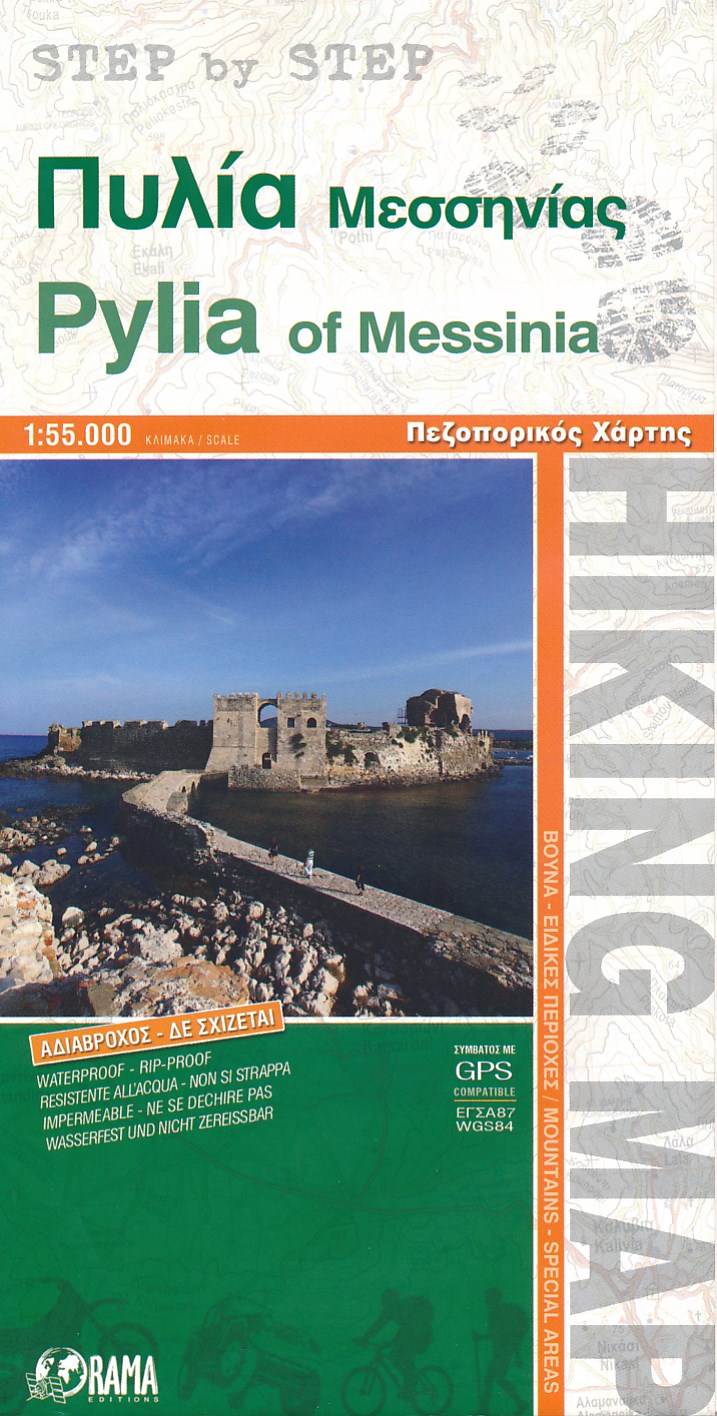
- Wandelkaart Pylia of Messinia | Orama
- Wandelkaart van een gedeelte van Griekenland. Water- en scheurvast en GPS compatible. Read more