
Wicklow
Description

County south of Dublin, on the east coast. The Wicklow mountains cover a large part of this county and offer good hillwalking possibilities.
Trails in this state
Links
Facts
Reports
Guides and maps
Lodging
Organisations
Tour operators
GPS
Other
Books

Stanfords
United Kingdom
United Kingdom
- Wicklow South OSI Adventure Map
- Among the rivers on this map are the Ow River, the Aughrim River, the Avoca River, the Derreen River and the Derry River. This map shows the historic site of Avondale House and Forest Park. The Wicklow Way continues down through the map. Among the many trails, loops and walks marked on this map are Avondale Trails, Avoca Red Kite Trails, Sean... Read more

The Book Depository
United Kingdom
2021
United Kingdom
2021
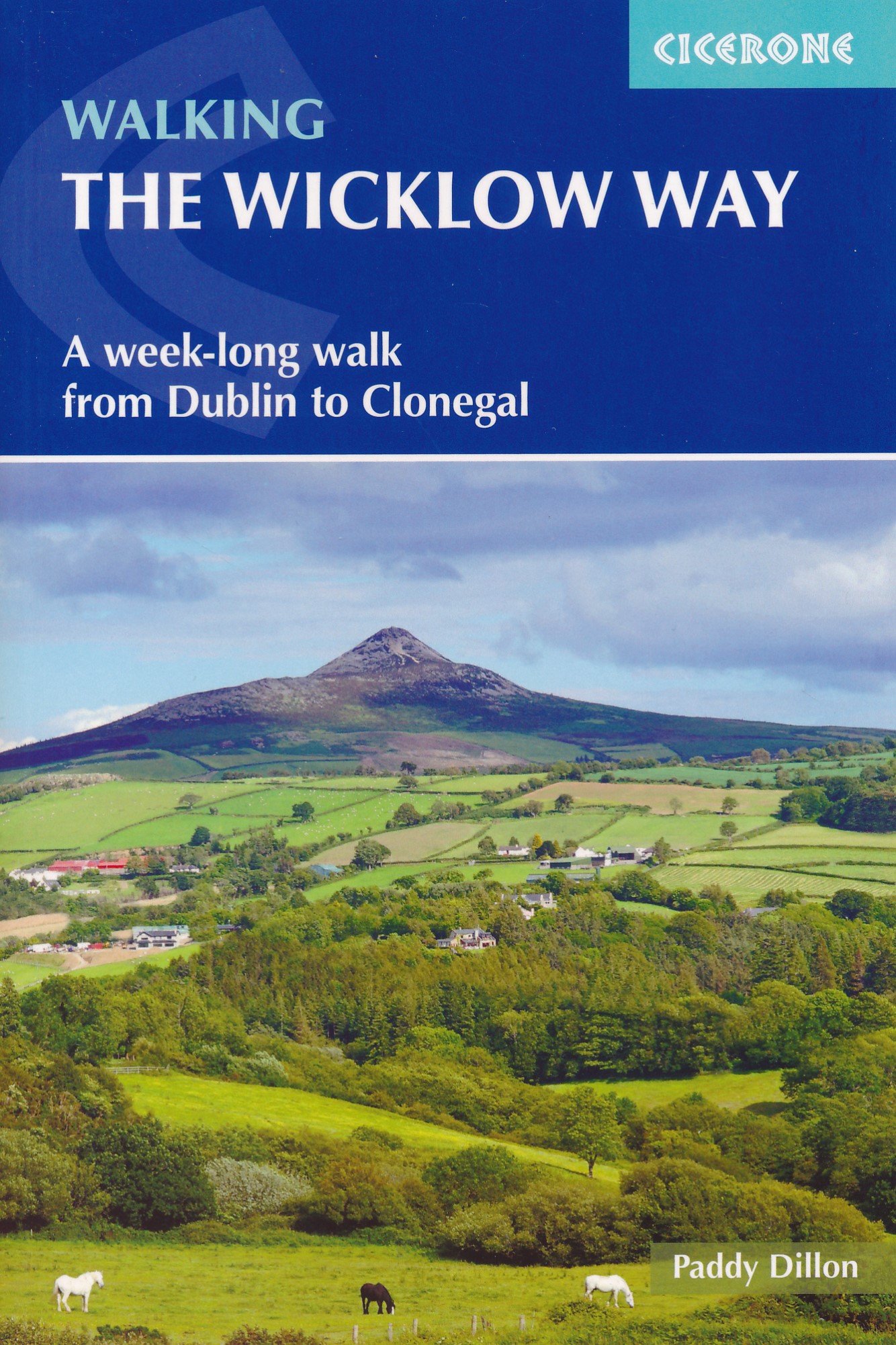
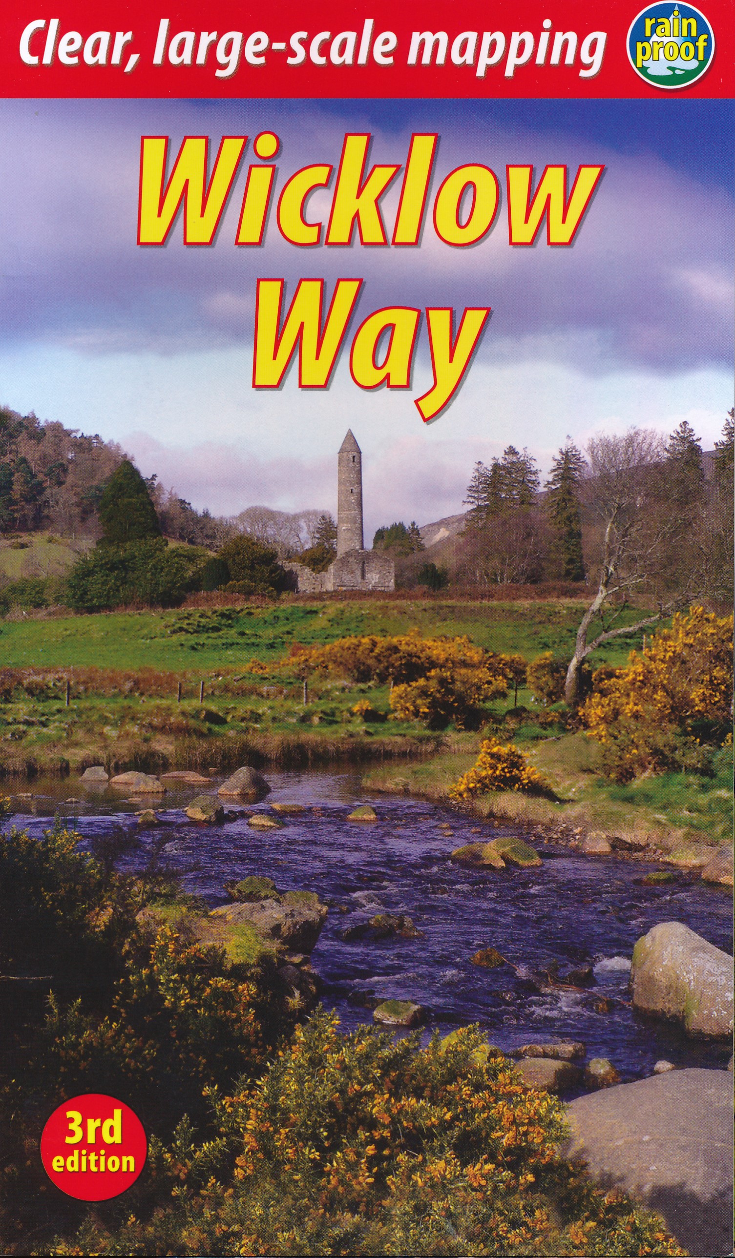
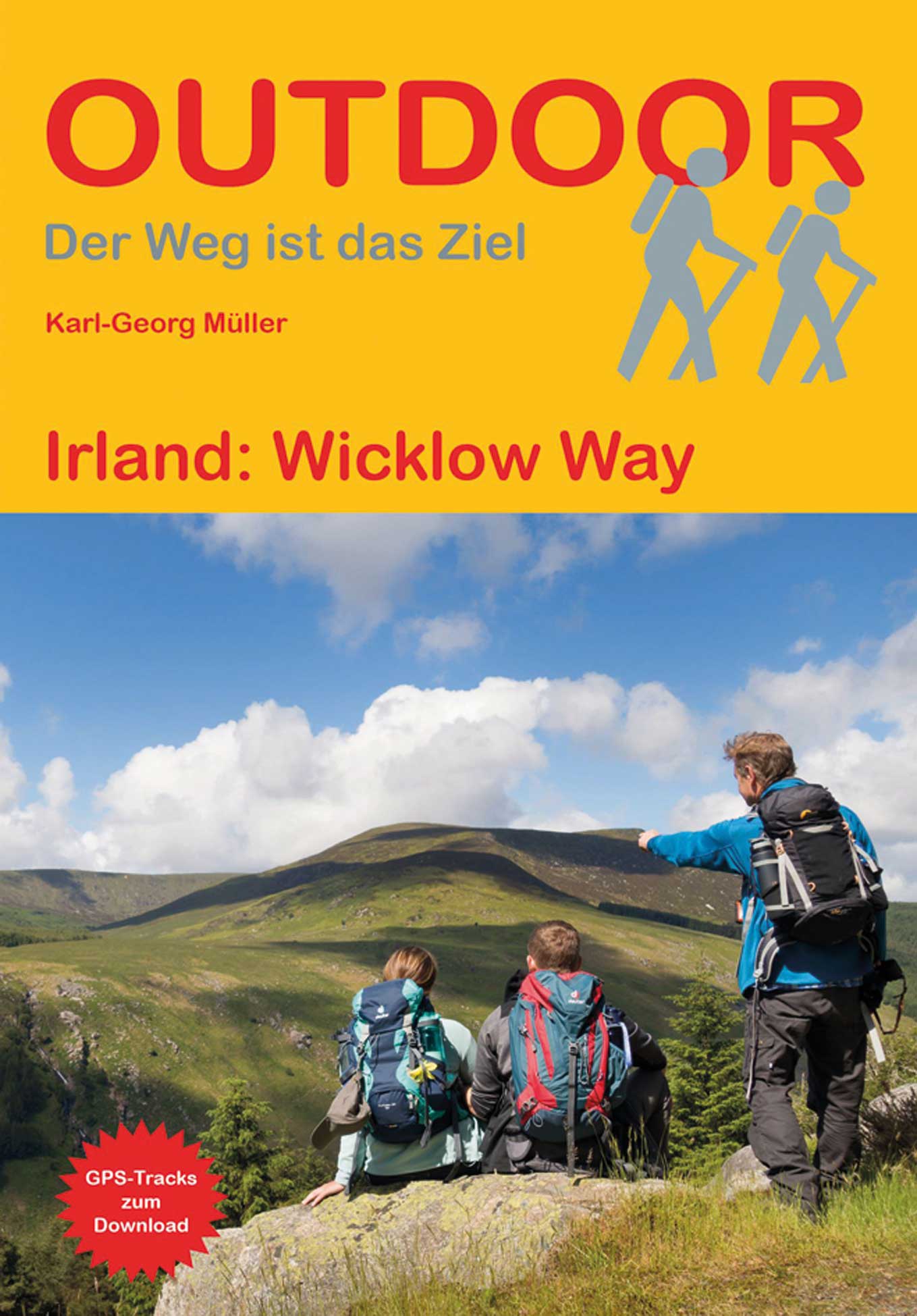
- Walking the Wicklow Way
- A week-long walk from Dublin to Clonegal Read more
- Also available from:
- De Zwerver, Netherlands
De Zwerver
Netherlands
2021
Netherlands
2021
- Wandelgids Walking the Wicklow Way | Cicerone
- A week-long walk from Dublin to Clonegal Read more

- Also available from:
- De Zwerver, Netherlands

- Also available from:
- De Zwerver, Netherlands

Stanfords
United Kingdom
United Kingdom
- Moon Ireland (Third Edition): Castles, Cliffs, and Lively Local Spots
- From its stirring legends to its stunning landscapes, Ireland is a living, breathing fairy-tale. Ignite your imagination with Moon Ireland. Inside you`ll find:*Flexible itineraries from a two-week ”Best of Ireland” adventure or a weekend in Dublin to 3-day tours of southern, northern, and coastal Ireland that can be combined into a longer... Read more
- Also available from:
- The Book Depository, United Kingdom

The Book Depository
United Kingdom
United Kingdom
- Moon Ireland (Third Edition)
- Castles, Cliffs, and Lively Local Spots Read more
Bol.com
Netherlands
2013
Netherlands
2013
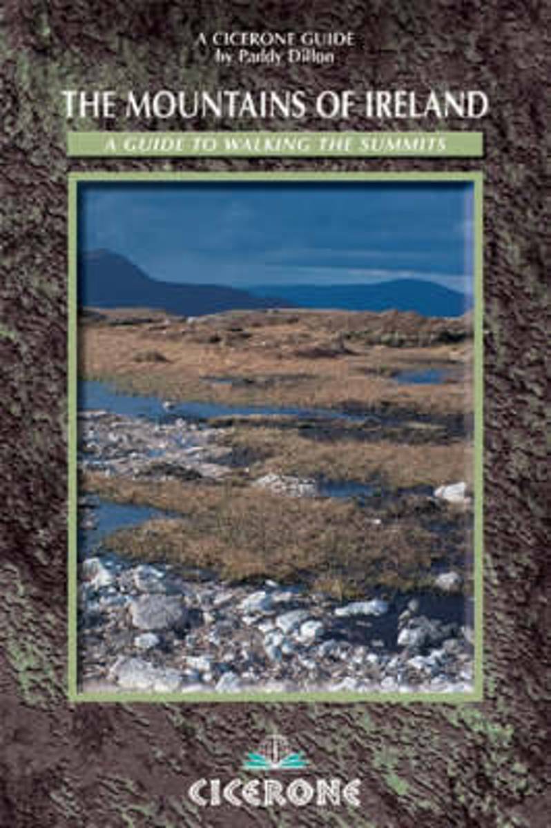
- The Mountains of Ireland
- A comprehensive guide, now the classic guide, to Ireland's 200 summits of 2000ft or more and to the 12 peaks exceeding 3000ft. The mountains are described clockwise from Wicklow to the Mournes, and offer a choice of 70 walking routes. The guide divides the peaks into 5 groups, and at the start of each is described 'Paddy's Way' - the way the... Read more
- Also available from:
- Bol.com, Belgium
Bol.com
Belgium
2013
Belgium
2013
- The Mountains of Ireland
- A comprehensive guide, now the classic guide, to Ireland's 200 summits of 2000ft or more and to the 12 peaks exceeding 3000ft. The mountains are described clockwise from Wicklow to the Mournes, and offer a choice of 70 walking routes. The guide divides the peaks into 5 groups, and at the start of each is described 'Paddy's Way' - the way the... Read more
Bol.com
Netherlands
Netherlands
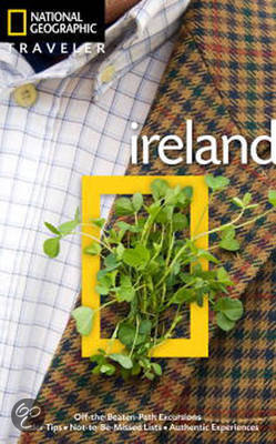
- National Geographic Traveler Ireland
- Author Christopher Somerville is the perfect guide to this picturesque country. He begins with Dublin, Ireland's cosmopolitan capital city, where reminders of the country's stirring history and rich culture adorn nearly every street corner. From there we head south, with highlights including County Kildare, capital of Irish horse racing; the... Read more
- Also available from:
- Bol.com, Belgium
Bol.com
Belgium
Belgium
- National Geographic Traveler Ireland
- Author Christopher Somerville is the perfect guide to this picturesque country. He begins with Dublin, Ireland's cosmopolitan capital city, where reminders of the country's stirring history and rich culture adorn nearly every street corner. From there we head south, with highlights including County Kildare, capital of Irish horse racing; the... Read more
Bol.com
Netherlands
Netherlands
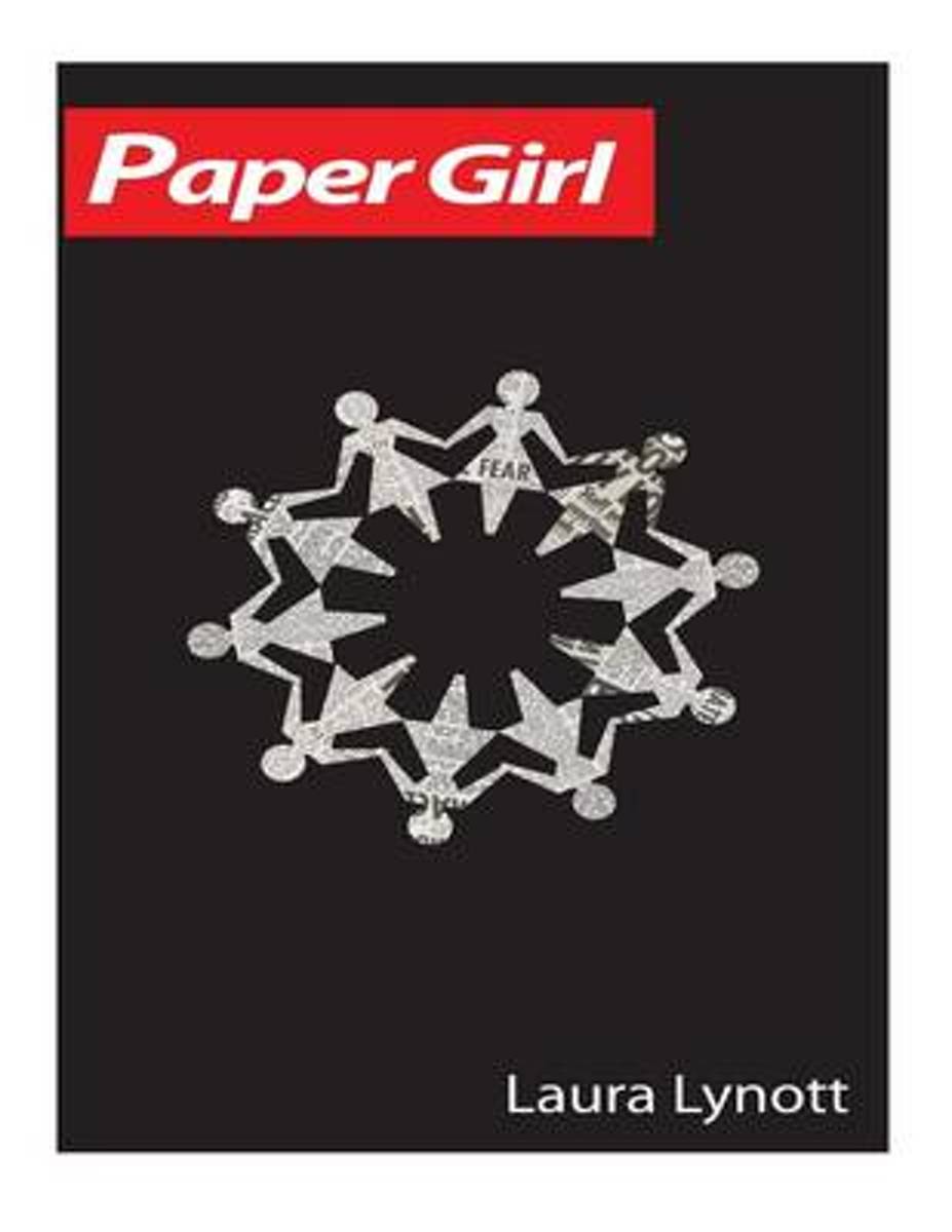
- Paper Girl
- Paper Girl is a fast-paced crime-fiction story with forbidden love at its centre.The debut novel by Dublin-based news journalist, Laura Lynott, centres in on the life of of Irish reporter Grace O'Brien, a single mother struggling to break the glass ceiling when she stumbles upon the biggest story of her career when an actress' dismembered body... Read more
- Also available from:
- Bol.com, Belgium
Bol.com
Belgium
Belgium
- Paper Girl
- Paper Girl is a fast-paced crime-fiction story with forbidden love at its centre.The debut novel by Dublin-based news journalist, Laura Lynott, centres in on the life of of Irish reporter Grace O'Brien, a single mother struggling to break the glass ceiling when she stumbles upon the biggest story of her career when an actress' dismembered body... Read more

Stanfords
United Kingdom
2020
United Kingdom
2020
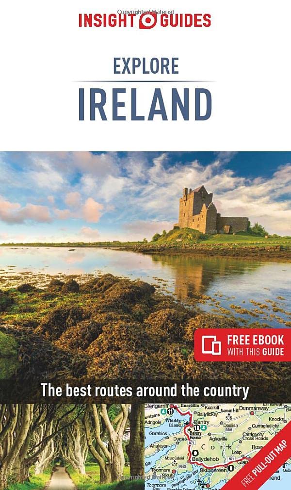
- Insight Guides Explore Ireland (Travel Guide with Free eBook)
- Insight Guides Explore IrelandTravel made easy. Ask local experts. Focused travel guide featuring the very best routes and itineraries, now with free eBook.Discover the best of Ireland with this unique travel guide, packed full of insider information and stunning images. From making sure you don`t miss out on must-see, top attractions like... Read more
- Also available from:
- De Zwerver, Netherlands
De Zwerver
Netherlands
2020
Netherlands
2020
- Reisgids Explore Ireland - Ierland | Insight Guides
- Insight Guides Explore IrelandTravel made easy. Ask local experts. Focused travel guide featuring the very best routes and itineraries, now with free eBook.Discover the best of Ireland with this unique travel guide, packed full of insider information and stunning images. From making sure you don`t miss out on must-see, top attractions like... Read more

Stanfords
United Kingdom
2014
United Kingdom
2014
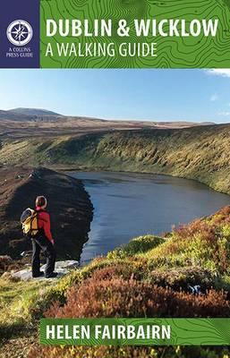
- Dublin & Wicklow: A Walking Guide
- This guidebook describes the best walking routes in Dublin and Wicklow. From mountain landscape to scenic coastal paths, from woodland trails to challenging hill-walks, there are routes here for everyone. Trips vary from two-hour strolls to eight-hour treks, and are illustrated with sketch maps and colour photographs. This is an area of great... Read more
- Also available from:
- The Book Depository, United Kingdom
- Bol.com, Netherlands
- Bol.com, Belgium
- De Zwerver, Netherlands


Bol.com
Netherlands
2014
Netherlands
2014
- Dublin & Wicklow
- This guidebook describes the best walking routes in Dublin and Wicklow. From mountain landscape to scenic coastal paths, from woodland trails to challenging hill-walks, there are routes here for everyone. Trips vary from two-hour strolls to eight-hour treks, and are illustrated with sketch maps and colour photographs. This is an area of great... Read more
Bol.com
Belgium
2014
Belgium
2014
- Dublin & Wicklow
- This guidebook describes the best walking routes in Dublin and Wicklow. From mountain landscape to scenic coastal paths, from woodland trails to challenging hill-walks, there are routes here for everyone. Trips vary from two-hour strolls to eight-hour treks, and are illustrated with sketch maps and colour photographs. This is an area of great... Read more
De Zwerver
Netherlands
2014
Netherlands
2014
- Wandelgids Dublin & Wicklow | The Collins Press
- This guidebook describes the best walking routes in Dublin and Wicklow. From mountain landscape to scenic coastal paths, from woodland trails to challenging hill-walks, there are routes here for everyone. Trips vary from two-hour strolls to eight-hour treks, and are illustrated with sketch maps and colour photographs. This is an area of great... Read more
Bol.com
Netherlands
2011
Netherlands
2011
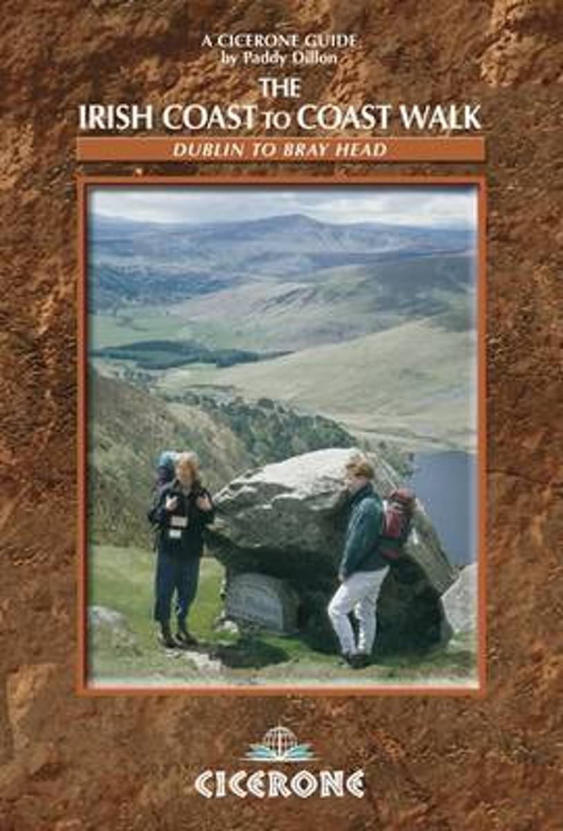
- The Irish Coast To Coast Walk
- The Coast to Coast route through Ireland, from Dublin to the Atlantic coast, passes through glorious mountain and river country, and offers an opportunity to discover the heart of the Emerald Isle. The walk links several waymarked routes - the Wicklow Way, South Leinster Way, East Munster Way, Blackwater Way and the Kerry Way. Whether you... Read more
- Also available from:
- Bol.com, Belgium
Bol.com
Belgium
2011
Belgium
2011
- The Irish Coast To Coast Walk
- The Coast to Coast route through Ireland, from Dublin to the Atlantic coast, passes through glorious mountain and river country, and offers an opportunity to discover the heart of the Emerald Isle. The walk links several waymarked routes - the Wicklow Way, South Leinster Way, East Munster Way, Blackwater Way and the Kerry Way. Whether you... Read more
De Zwerver
Netherlands
2016
Netherlands
2016
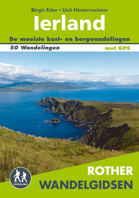
- Wandelgids Ierland | Uitgeverij Elmar
- de mooiste kust- en bergwandelingen Read more
Bol.com
Netherlands
Netherlands
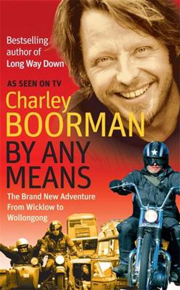
- By Any Means
- Charley Boorman has arranged himself a new challenge: he must travel from his home town in England all the way to Sydney, Australia, and he must use any means available to reach his destination, including steam train, horse, boat, kayak, motorcycle, and tuk-tuk. Whether crossing the Black Sea, trekking through Tibet, riding an elephant in... Read more
- Also available from:
- Bol.com, Belgium
Bol.com
Belgium
Belgium
- By Any Means
- Charley Boorman has arranged himself a new challenge: he must travel from his home town in England all the way to Sydney, Australia, and he must use any means available to reach his destination, including steam train, horse, boat, kayak, motorcycle, and tuk-tuk. Whether crossing the Black Sea, trekking through Tibet, riding an elephant in... Read more

- Also available from:
- Bol.com, Netherlands
- Bol.com, Belgium
- De Zwerver, Netherlands
Bol.com
Netherlands
2016
Netherlands
2016
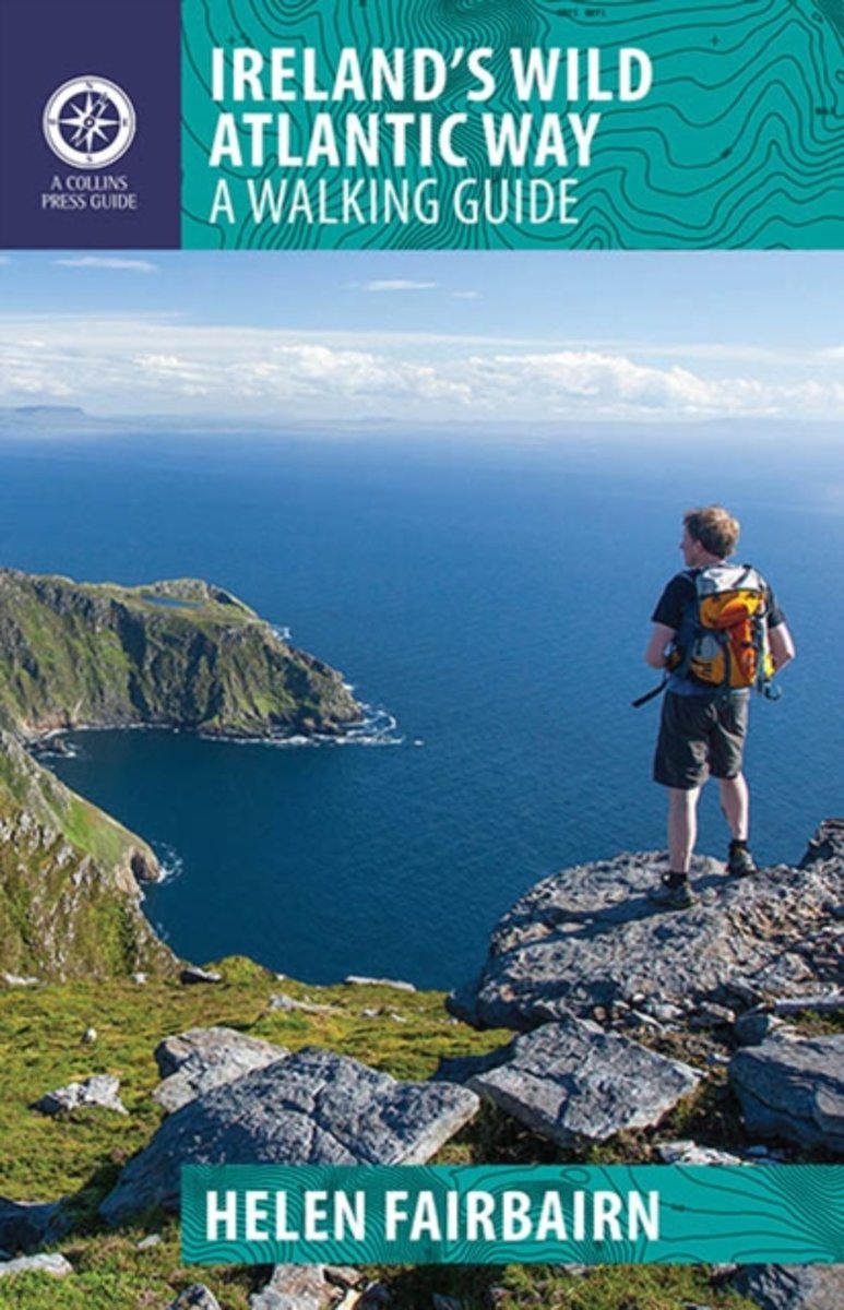
- Ireland's Wild Atlantic Way
- The Wild Atlantic Way follows the magnificent west coast of Ireland, passing golden beaches, thrusting headlands and soaring sea cliffs. Renowned walking-guide author Helen Fairbairn explores the best walking routes of the region, recommending trips to uninhabited islands, coastal mountains and much more. Routes vary from two to six hours, and... Read more
Bol.com
Belgium
2016
Belgium
2016
- Ireland's Wild Atlantic Way
- The Wild Atlantic Way follows the magnificent west coast of Ireland, passing golden beaches, thrusting headlands and soaring sea cliffs. Renowned walking-guide author Helen Fairbairn explores the best walking routes of the region, recommending trips to uninhabited islands, coastal mountains and much more. Routes vary from two to six hours, and... Read more

De Zwerver
Netherlands
2016
Netherlands
2016
- Wandelgids Ireland's Wild Atlantic Way | The Collins Press
- A Walking Guide: 2016 Read more
Maps

Stanfords
United Kingdom
United Kingdom
- Dublin Mountains (25K)
- Dublin Mountains at 1:25,000 on a double-sided, detailed, GPS compatible map from EastWest Mapping, printed on light, waterproof and tear-resistant paper. Contours at 10m intervals are enhanced by altitude colouring and graphics showing scree, peat bogs, marshland, gorse, different types of woodlands, cultivated areas, etc.The map shows the... Read more

Stanfords
United Kingdom
United Kingdom
- Transrhodopi - Long distance hiking and biking trail From Trigrad to Ivaylovgrad
- Western Rhodope Mountains at 1:100,000 on a contoured GPS compatible map from Domino extending from just west of the Pirin National Park to Asenovgrad in the north-east. The map is double-sided with a good overlap between the sides. Topography is shown by contours at 50m intervals with relief shading and spot heights, plus colouring for... Read more

Stanfords
United Kingdom
United Kingdom
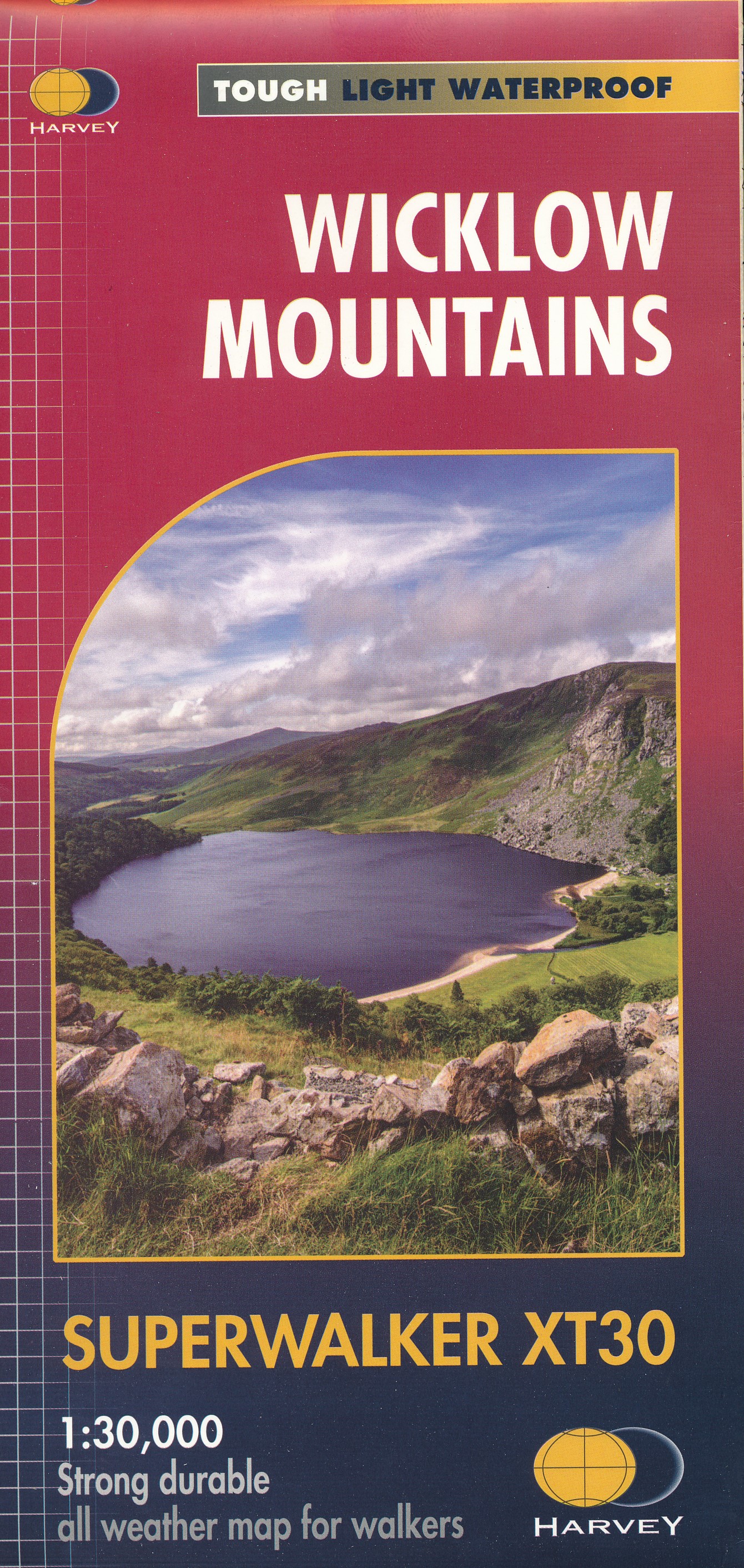
- Wicklow Central OSI Adventure Map
- Among the rivers on this map are the Avonmore River, the Vartry River, the Glendasan River, Glenmacnass River, the Avonbeg River, the Slaney River and Kings River. Among the lakes and reservoirs that feature on this map are Lough Tay, Lough Dan, Lough Ouler, Upper Lake Glendalough, Lower Lake Glendalough, Vartry Reservoir and the southern part... Read more

Stanfords
United Kingdom
United Kingdom
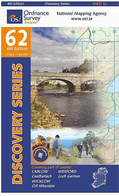
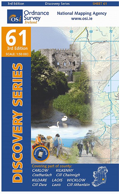
- Carlow - Kildare - Kilkenny - Laois - Wicklow OSI Discovery 61
- Map No. 61, Carlow North - Laois South-East - Kilkenny North-East in the Discovery series from the OSI, the Ordnance Survey of Ireland, which presents the country on detailed topographic maps at 1:50,000, with additional overprint highlighting campsites and caravan parks, youth hostels, etc. Current 3rd edition of this map was published in... Read more


Stanfords
United Kingdom
United Kingdom
- Stara Planina Western: Belogradchik to Berkovita Domino Map
- Stara Planina Western: Belogradchik to Berkovita map at 1:50,000 from Bulgarian publishers Domino, contoured and GPS compatible, with hiking trails, accommodation options including a list of local mountain refuges, etc. The map is double-sided and covers the mountains from the peak of Byala Voda near Belogradchik eastwards to just beyond... Read more
- Also available from:
- De Zwerver, Netherlands

De Zwerver
Netherlands
Netherlands
- Wandelkaart 3 Stara Planina gebergte | Domino
- Stara Planina Western: Belogradchik to Berkovita map at 1:50,000 from Bulgarian publishers Domino, contoured and GPS compatible, with hiking trails, accommodation options including a list of local mountain refuges, etc. The map is double-sided and covers the mountains from the peak of Byala Voda near Belogradchik eastwards to just beyond... Read more

Stanfords
United Kingdom
United Kingdom
- Stara Planina Western: Berkovita to Zlatitsa Domino Map
- Stara Planina Western: Berkovita to Zlatitsa map at 1:50,000 from Bulgarian publishers Domino, contoured and GPS compatible, with hiking trails, accommodation options including a list of local mountain refuges, etc. The map is double-sided and covers the mountains from Varshets (directly north of Sofia) to just beyond Etrepole.Maps in the... Read more
- Also available from:
- De Zwerver, Netherlands

De Zwerver
Netherlands
Netherlands
- Wandelkaart 4 Stara Planina gebergte | Domino
- Stara Planina Western: Berkovita to Zlatitsa map at 1:50,000 from Bulgarian publishers Domino, contoured and GPS compatible, with hiking trails, accommodation options including a list of local mountain refuges, etc. The map is double-sided and covers the mountains from Varshets (directly north of Sofia) to just beyond Etrepole.Maps in the... Read more

Stanfords
United Kingdom
United Kingdom
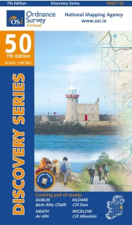
- Dublin - Meath - Kildare - Wicklow OSI Discovery 50
- Map No. 50, Dublin - Kildare North-East in the Discovery series from the OSI, the Ordnance Survey of Ireland, which presents the country on detailed topographic maps at 1:50,000, with additional overprint highlighting campsites and caravan parks, youth hostels, etc. Current 7th edition of this map was published in summer 2015.Maps in the... Read more
- Also available from:
- De Zwerver, Netherlands
De Zwerver
Netherlands
Netherlands
- Topografische kaart - Wandelkaart 50 Discovery Dublin, Kildare, Meath, Wicklow | Ordnance Survey Ireland
- Map No. 50, Dublin - Kildare North-East in the Discovery series from the OSI, the Ordnance Survey of Ireland, which presents the country on detailed topographic maps at 1:50,000, with additional overprint highlighting campsites and caravan parks, youth hostels, etc. Current 7th edition of this map was published in summer 2015.Maps in the... Read more

Stanfords
United Kingdom
United Kingdom
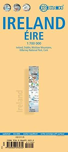
- Ireland Borch
- Indexed road map of Ireland published by Borch on laminated and tear-resistant paper. Cork & Dublin street plans, and more detailed maps of Killarney NP & the Wicklow Mts are on the reverse. Road detail extends from motorways to secondary roads, with intermediate driving distances indicated on major routes. Main railways and ferry links are... Read more
- Also available from:
- De Zwerver, Netherlands
De Zwerver
Netherlands
Netherlands
- Wegenkaart - landkaart Ireland - Ierland | Borch
- Indexed road map of Ireland published by Borch on laminated and tear-resistant paper. Cork & Dublin street plans, and more detailed maps of Killarney NP & the Wicklow Mts are on the reverse. Road detail extends from motorways to secondary roads, with intermediate driving distances indicated on major routes. Main railways and ferry links are... Read more

Stanfords
United Kingdom
United Kingdom
- Strandzha Mountains: Burgas to the Turkish Border Domino Map
- Strandzha Mountains in the south-eastern corner of Bulgaria between Burgas to the Turkish border on a contoured and GPS compatible map from Domino showing local hiking trails and highlighting various interesting sites, with three more detailed enlargements at 1:25,000. Most place names are in both Latin and Cyrillic alphabet; map legend... Read more
- Also available from:
- De Zwerver, Netherlands

De Zwerver
Netherlands
Netherlands
- Wandelkaart Strandzha - Bulgarije | Domino
- Strandzha Mountains in the south-eastern corner of Bulgaria between Burgas to the Turkish border on a contoured and GPS compatible map from Domino showing local hiking trails and highlighting various interesting sites, with three more detailed enlargements at 1:25,000. Most place names are in both Latin and Cyrillic alphabet; map legend... Read more
De Zwerver
Netherlands
Netherlands
- Topografische kaart - Wandelkaart 61 Discovery Carlow, Kildare, Kilkenny, Laois, Wicklow | Ordnance Survey Ireland
- Map No. 61, Carlow North - Laois South-East - Kilkenny North-East in the Discovery series from the OSI, the Ordnance Survey of Ireland, which presents the country on detailed topographic maps at 1:50,000, with additional overprint highlighting campsites and caravan parks, youth hostels, etc. Current 3rd edition of this map was published in... Read more

De Zwerver
Netherlands
Netherlands
- Wandelkaart Sredna Gora - Bulgarije | Domino
- Pirin Mountains at 1:50,000 on a large, double-sided, contoured map with GPS waypoints for shelters and chalets, peaks, etc. and highlighting hiking routes. Topography is shown by contours at 40m intervals with additional relief shading and graphics and colouring for sandstone stacks, single rocks over 5m high, marshlands and different types of... Read more

Stanfords
United Kingdom
United Kingdom
- Rila Mountains Domino
- Rila Mountains at 1:50,000 on a large, double-sided, contoured map with GPS waypoints for shelters and chalets, peaks, etc. and highlighting hiking routes. Topography is shown by contours at 50m intervals with additional relief shading and graphics and colouring for scree, single rocks over 5m high, marshlands and pine scrub and forests. An... Read more
- Also available from:
- De Zwerver, Netherlands

De Zwerver
Netherlands
Netherlands
- Wandelkaart 5 Rila gebergte | Domino
- Rila Mountains at 1:50,000 on a large, double-sided, contoured map with GPS waypoints for shelters and chalets, peaks, etc. and highlighting hiking routes. Topography is shown by contours at 50m intervals with additional relief shading and graphics and colouring for scree, single rocks over 5m high, marshlands and pine scrub and forests. An... Read more