
Svartisen
Description

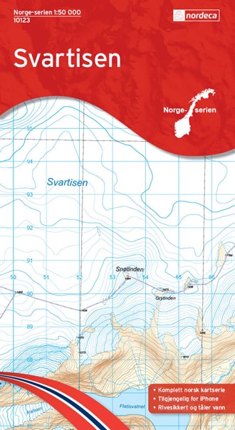
Svartisen, north west of Mo i Rana, is a large glacier – Svartisen means "black ice" – the largest of north Norway. Climbing it is not exactly a walking exercise. The ice is heavily crevassed and only mountaineers or guided parties should attempt to traverse it. The surroundings are fine for hiking, although there are not many huts here. A deep valley splits the ice field in two. Around it many lakes can be found.
Map

Links
Facts
Reports
Guides and maps
Lodging
Organisations
Tour operators
GPS
Other
Maps

Stanfords
United Kingdom
United Kingdom
- Svartisen Nordeca 10123
- Map No. 10123, Svartisen, in the new topographic survey of Norway at 1:50,000 covering the country on 195 double-sided sheets and first published by Nordeca in 2011 - 2012; fully GPS compatible, indicating waymarked footpaths, campsites, tourist huts, illuminated ski runs, etc.The maps, now published by Nordeca, the successors to Statens... Read more
De Zwerver
Netherlands
Netherlands
- Wandelkaart - Topografische kaart 10123 Norge Serien Svartisen | Nordeca
- Een compleet nieuwe serie topografische kaarten voor Noorwegen 1:50 000. Het heeft een moderne cartografie, ontwikkeld voor het actieve buitenleven. Deze kaarten zijn ideaal voor wandel-en recreatief gebruik in de bergen, bossen, langs de kust en voor de jacht en de visserij. Voor professionele organisaties bieden de kaarten de nodige kennis... Read more