
Majorca, Baleares
Description

The largest of the Islas Baleares, Majorca - or Mallorca - is a popular holiday destination thanks to its beaches and climate. Much of the island is pretty flat, with larges settlements along its coastline and farmland in its centre.
The northern part of Mallorca is mountainous: Serra de Tramuntana. Here most of the hiking trails can be found. The mountain ridges seem to roll out of the centre of the island, like waves tipping over towards the sea, the white crests sticking out of the forests. Main trail on the island is the GR221, traversing the Serra de Tramuntana. The other trail is the GR222 crossing the island from east to west. Both trails are still under construction, but the itineraries are set out. Refuges - both private and municipal - can be found along these trails. Many shorter hiking trails on the island are marked.
Check the list of Balearic Islands.
Map

Trails in this region
Links
Facts
Reports
Guides and maps
Lodging
Organisations
Tour operators
GPS
Other
Books

United Kingdom
2016
- Menorca Sunflower Landscape Guide
- This new 6th edition of Sunflower`s popular guide to Menorca has been reformatted to feature many new walks and to include a section on the Cami de Cavalls a walking/cycling/riding trail circling the island alongside or near the coast.Menorca is a peaceful island, much more low-key than the neighbouring Balearic Islands of Mallorca and Ibiza.... Read more

United Kingdom
2016
- Mallorca - Walk & Eat
- This pocket-sized full-colour guide is designed for walking in Mallorca with a gastronomical touch, using public transport. Even `non-walkers` will appreciate the recommendations for Mallorca restaurants.The walks are dotted all around the island, with most in the west and mountainous northwest. For each suggested restaurant there is a... Read more

United Kingdom
- Berlitz Pocket Guide Mallorca (Travel Guide with Dictionary)
- The world-renowned pocket travel guide by Berlitz, now with a free bilingual dictionary.Compact, concise and packed full of essential information about where to go and what to do, this is an ideal on-the-move guide for exploring Mallorca. From top tourist attractions like Valldemossa, the Coves del Drac and Monestir de Llluc, to cultural gems,... Read more

United Kingdom
- Cabrera and the Adjoining Islands National Park CNIG Map-Guide SPANISH
- Cabrera and the small islands between it and Mallorca which together constitute PN Marítimo-Terrestre del Archipiélago de Cabrera at 1:25,000 on a contoured and GPS compatible map from IGN/CNIG with cartography from their topographic survey of Spain. The map is surrounded by eight panels with satellite imagery of various parts of Cabrera... Read more

United Kingdom
- DK Eyewitness Road Trips Spain
- With its idyllic hilltop villages, historic cities, coastal towns, and stunning natural landscapes, Spain is the perfect destination for a leisurely road trip. It`s yours to explore with Road Trips Spain, our redesigned and newly updated guide containing 25 drives across the country, from the spectacular rocky coastline of Mallorca to the... Read more

United Kingdom
- Mallorca 4-Map Set Kompass 2230
- Mallorca on a set of four double-sided, contoured and GPS compatible maps at 1:35,000 from Kompass with exceptionally detailed presentation of the topography, extensive overprint for hiking trails and cycling routes, accommodation and places of interest, etc, plus street plans of central Palma de Mallorca, Platja de Palma, Sóller, Alcúdia/Port... Read more


United Kingdom
2018
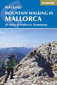
- Mountain Walking in Mallorca: 50 routes in Mallorca`s Tramuntana
- This guide describes 50 full and half-day walks in Mallorca`s mountainous northwest, in the stunning Serra de Tramuntana. Whilst the region promises breathtaking scenery and some fantastic walks, there is also some potentially challenging terrain, making guidance when choosing, planning and walking routes all the more valuable. Ranging from... Read more
- Also available from:
- The Book Depository, United Kingdom
- De Zwerver, Netherlands

United Kingdom
2018
- Mountain Walking in Mallorca
- 50 routes in Mallorca's Tramuntana Read more
Netherlands
2018
- Wandelgids Mountain Walking in Mallorca | Cicerone
- Guidebook describing 50 full and half-day walks in Mallorca's mountainous northwest. Ranging from 5.5km to 24km, the routes showcase the outstanding natural beauty and mountain heritage of the Serra de Tramuntana. Potential bases include Pollença, Sóller, Valldemossa and Andratx, and most walks are accessible by public transport. Read more

United Kingdom
2022
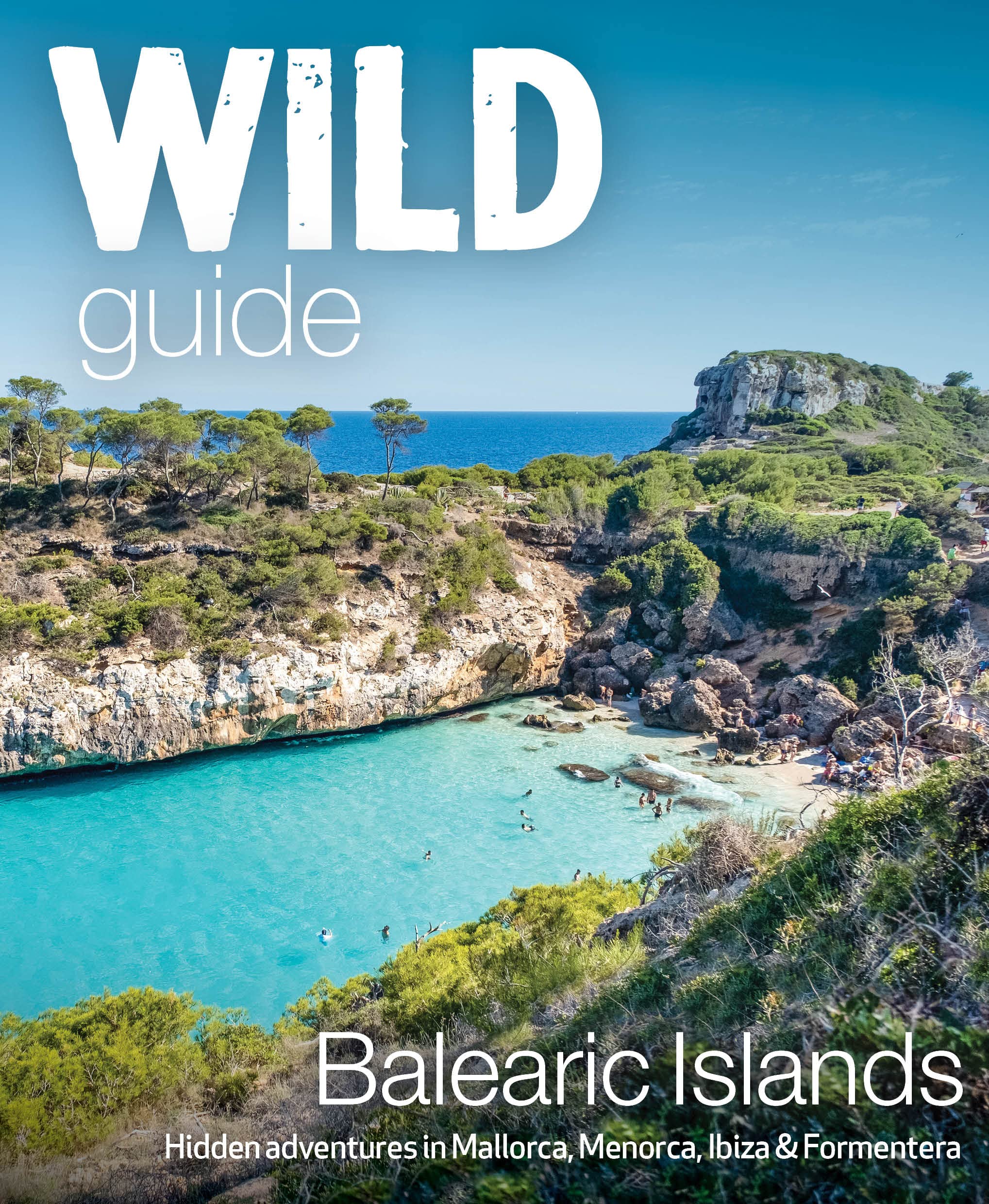
- Wild Guide Balearic Islands
- Secret coves, mountains, caves and adventure in Mallorca, Menorca, Ibiza & Formentera Read more
- Also available from:
- De Zwerver, Netherlands
Netherlands
2022
- Reisgids Wild Guide Balearic Islands | Wild Things Publishing
- Secret coves, mountains, caves and adventure in Mallorca, Menorca, Ibiza & Formentera Read more

United Kingdom
2022
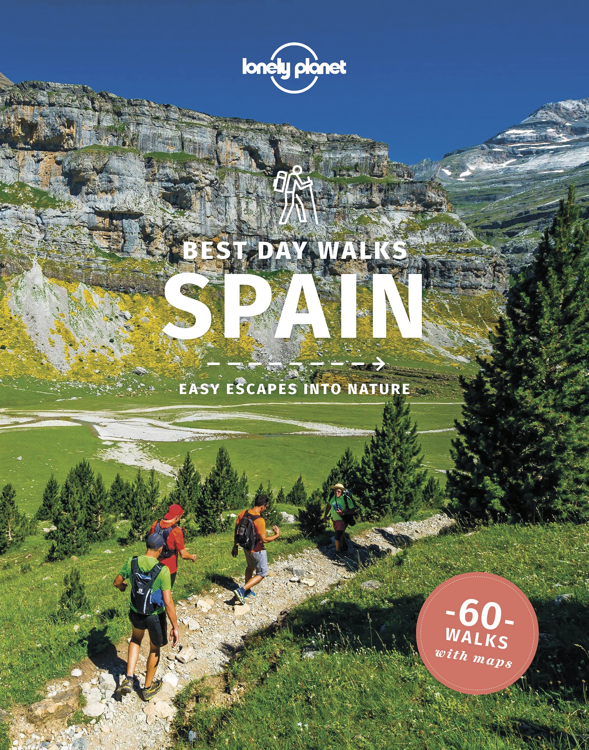
- Lonely Planet Best Day Walks Spain
- Lonely Planet`s Best Day Walks Spain is your passport to 60 easy escapes into nature. Stretch your legs away from the city by picking a walk that works for you, from just a couple of hours to a full day, from easy to hard. Marvel at the Pyrenees, hike along the Mediterranean coast, and experience island walks in Mallorca. Inside Lonely... Read more
- Also available from:
- The Book Depository, United Kingdom
- De Zwerver, Netherlands

United Kingdom
2022
- Lonely Planet Best Day Walks Spain
- Lonely Planet`s Best Day Walks Spain is your passport to 60 easy escapes into nature. Stretch your legs away from the city by picking a walk that works for you, from just a couple of hours to a full day, from easy to hard. Marvel at the Pyrenees, hike along the Mediterranean coast, and experience island walks in Mallorca. Inside Lonely... Read more
Netherlands
2022
- Wandelgids Best Day Walks Spain - Spanje | Lonely Planet
- Lonely Planet`s Best Day Walks Spain is your passport to 60 easy escapes into nature. Stretch your legs away from the city by picking a walk that works for you, from just a couple of hours to a full day, from easy to hard. Marvel at the Pyrenees, hike along the Mediterranean coast, and experience island walks in Mallorca. Inside Lonely... Read more
Netherlands
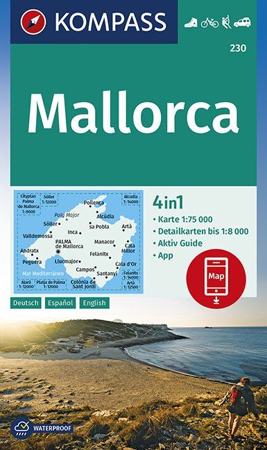
- Wandelkaart 230 Mallorca | Kompass
- Die 3in1 Wanderkarte ist jetzt noch übersichtlicher und besser lesbar. Die Wanderkarte ist mit zusätzlichen Detailkarten ausgestattet. Der Aktiv Guide informiert Sie rund um das Thema Outdoor. Das bildet die perfekte Grundlage für die Planung einer Wandertour. Die präzise Kartografie zeigt alle begehbaren Wanderwege inklusive Klassifizierung.... Read more

United Kingdom
2022
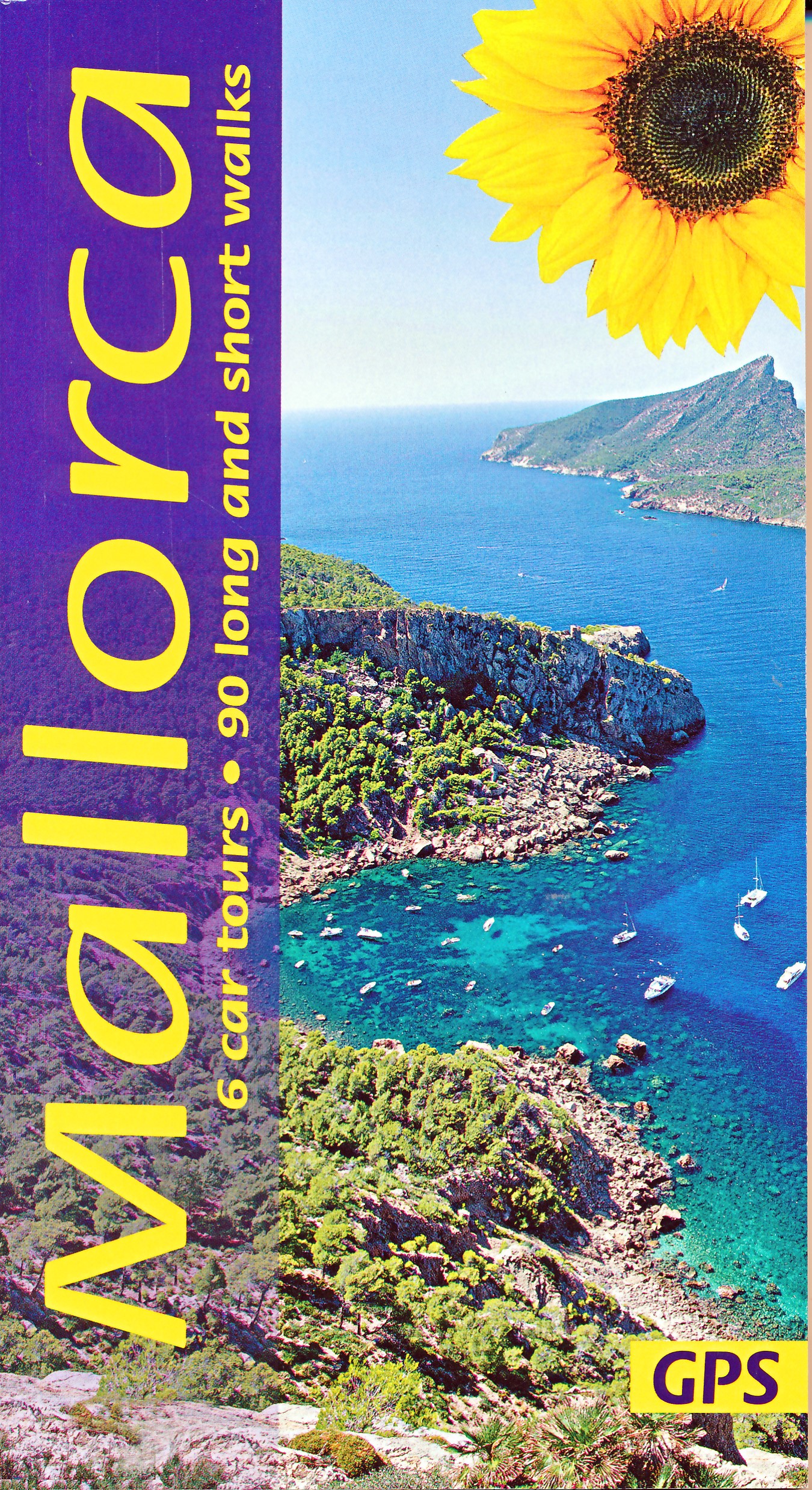
- Mallorca Guide: 90 long and short walks with detailed maps and GPS; 6 car tours with pull-out map
- The go-to Mallorca travel guide for over 30 years. Strap on your boots and discover Mallorca on foot with the Sunflower Mallorca travel guide. And on the days when your feet may have had enough, enjoy some spectacular scenery on one of our legendary car tours. The Sunflower Mallorca guide is indispensable for hiking in Mallorca or seeing... Read more
- Also available from:
- De Zwerver, Netherlands
Netherlands
2022
- Wandelgids Mallorca | Sunflower books
- The go-to Mallorca travel guide for over 30 years. Strap on your boots and discover Mallorca on foot with the Sunflower Mallorca travel guide. And on the days when your feet may have had enough, enjoy some spectacular scenery on one of our legendary car tours. The Sunflower Mallorca guide is indispensable for hiking in Mallorca or seeing... Read more
Netherlands
2023
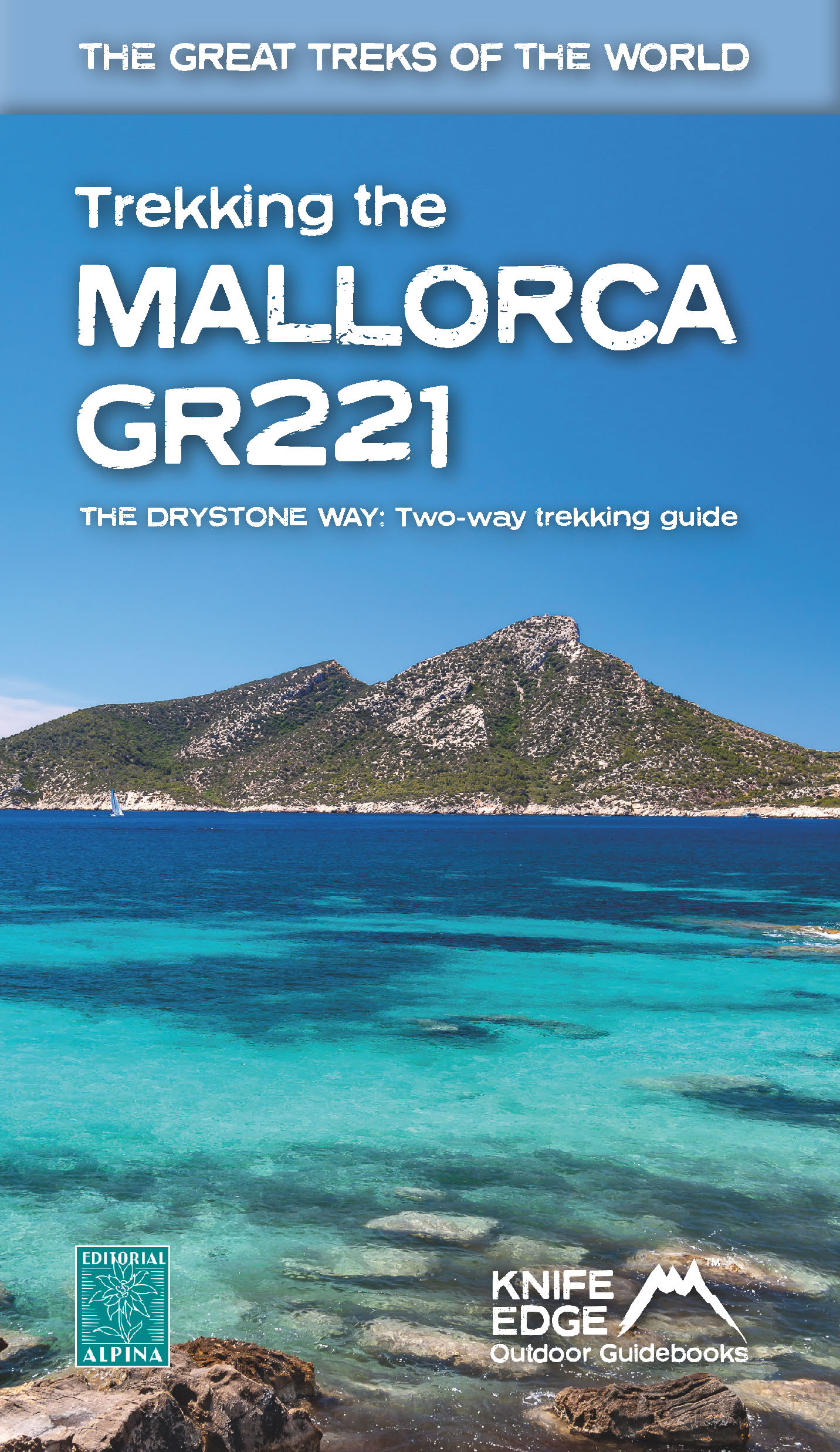
- Wandelgids Trekking the Mallorca GR221 | Knife Edge Outdoor
- 2022: Two-way guidebook with real 1:25k maps: 12 different itineraries Read more
Netherlands
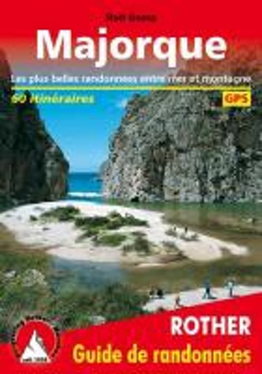
- Majorque (Mallorca - franz sische Ausgabe)
- Guide Rother MajorqueMajorque n'est pas seulement l'une des principales destinations touristiques choisies par les adorateurs du soleil. L'arrière-pays paisible à l'écart des côtes surpeuplées en haute saison est également un véritable paradis pour les randonneurs avec ses vallées... Read more
- Also available from:
- Bol.com, Belgium
Belgium
- Majorque (Mallorca - franz sische Ausgabe)
- Guide Rother MajorqueMajorque n'est pas seulement l'une des principales destinations touristiques choisies par les adorateurs du soleil. L'arrière-pays paisible à l'écart des côtes surpeuplées en haute saison est également un véritable paradis pour les randonneurs avec ses vallées... Read more
Maps

United Kingdom
- IT4 Sardinia West
- Passage ChartsC0 Mallorca to Sicily 1:1,750,000C1 Sardinia 1:650,000C2 Sardinia North 1:350,000C3 Sardinia Southwest 1:350,000C22 Mediterranean Sea 1:6,000,000Coastal ChartsC4 Golfo dell` Asinara 1:150,000C5 Capo dell` Argentiera to Capo Mannu 1:150,000C6 Capo Mannu to Pta.Nai . Oristano 1:150,000C7 Pta.Nai to Capo Spartivento 1:150,000C8 Capo... Read more

United Kingdom
- Porreres 25K Mallorca CNIG Topographic Survey Map No. 699-IV
- Topographic coverage of the Balearic Islands at 1:25,000 published by the Instituto Geográfico Nacional – Centro Nacional de Información Geografica, the country’s civilian survey organization. The maps have contours at 10m intervals and colouring and/or graphics to show different types of vegetation or land use. Boundaries of national parks and... Read more

United Kingdom
- Val d`Aran by UTMB Editorial Alpina Trail running race Map
- Val d`Aran in an extensive and very popular series of walking maps from Editorial Alpina covering the Pyrenees, Catalonia and other selected hiking areas in Spain, including Picos de Europa, Sierra Nevada and parts of Andalucía, Majorca, etc. Scales vary from 1:50,000 to 1:10,000, with the majority of the titles at 1:25,000. The maps have... Read more
United Kingdom
- Serra de Tramuntana Editorial Alpina 4-Map Set
- Mallorca’s Serra de Tramuntana mountains presented by Editorial Alpina at 1:25,000 on a set of two light, waterproof and tear-resistant, contoured and GPS compatible, double-sided maps with an overprint for local hiking trails, GR221 long-distance route, sites for various outdoor activities, accommodation options, etc. Coverage extends from... Read more
United Kingdom
- Esporles CNIG Topographic Map 670-9
- Topographic coverage of the Balearic Islands at 1:25,000 published by the Instituto Geográfico Nacional – Centro Nacional de Información Geografica, the country’s civilian survey organization. The maps have contours at 10m intervals and colouring and/or graphics to show different types of vegetation or land use. Boundaries of national parks and... Read more

United Kingdom
- Sa Calobra CNIG Topo 643
- Topographic coverage of the Balearic Islands at 1:50,000 in the MTN50 (Mapa Topográfico Nacional) series from the Instituto Geográfico Nacional – Centro Nacional de Información Geografica, the country’s civilian survey organization. The maps have contours at 20m intervals, enhanced by relief shading, plus colouring and/or graphics to show... Read more
United Kingdom
- Macanor CNIG Topo 700
- Topographic coverage of the Balearic Islands at 1:50,000 in the MTN50 (Mapa Topográfico Nacional) series from the Instituto Geográfico Nacional – Centro Nacional de Información Geografica, the country’s civilian survey organization. The maps have contours at 20m intervals, enhanced by relief shading, plus colouring and/or graphics to show... Read more

United Kingdom
- Landscapes along the River Ter Ed. Alpina 40K Map
- Landscapes along the River Ter map in an extensive and very popular series of walking maps from Editorial Alpina covering the Pyrenees, Catalonia and other selected hiking areas in Spain, including Picos de Europa, Sierra Nevada and parts of Andalucía, Majorca, etc. Scales vary from 1:50,000 to 1:10,000, with the majority of the titles at... Read more

United Kingdom
- Sant Llorenc del Munt i l`Obac Editorial Alpina
- Sant Llorenç del Munt i l`Obac area at 1:25,000 in an extensive and very popular series of walking maps from Editorial Alpina. Contours are at 10m intervals, enhanced by relief shading and vegetation colouring. The map has UTM grid and 1’ margin ticks. In addition to footpaths, the overprint shows various types of accommodation (hotels,... Read more
United Kingdom
- Colonia de Sant Jordi 25K Mallorca CNIG Topographic Survey Map No. 748-II
- Topographic coverage of the Balearic Islands at 1:25,000 published by the Instituto Geográfico Nacional – Centro Nacional de Información Geografica, the country’s civilian survey organization. The maps have contours at 10m intervals and colouring and/or graphics to show different types of vegetation or land use. Boundaries of national parks and... Read more
United Kingdom
- Alaro CNIG Topographic Map 670-4
- Topographic coverage of the Balearic Islands at 1:25,000 published by the Instituto Geográfico Nacional – Centro Nacional de Información Geografica, the country’s civilian survey organization. The maps have contours at 10m intervals and colouring and/or graphics to show different types of vegetation or land use. Boundaries of national parks and... Read more
United Kingdom
- Pollensa / Polença CNIG Topo 644
- Topographic coverage of the Balearic Islands at 1:50,000 in the MTN50 (Mapa Topográfico Nacional) series from the Instituto Geográfico Nacional – Centro Nacional de Información Geografica, the country’s civilian survey organization. The maps have contours at 20m intervals, enhanced by relief shading, plus colouring and/or graphics to show... Read more
United Kingdom
- Vall de Barravés - Ribagorça Editorial Alpina
- Val de Barravés - Ribagorça at 1:25,000 in an extensive and very popular series of walking maps from Editorial Alpina covering the Pyrenees, Catalonia and other selected hiking areas in Spain, including Picos de Europa, Sierra Nevada and parts of Andalucía, Majorca, etc.Scales of maps in this series vary from 1:50,000 to 1:10,000, with the... Read more
United Kingdom
- Galatzo 25K Mallorca CNIG Topographic Survey Map No. 697-II
- Topographic coverage of the Balearic Islands at 1:25,000 published by the Instituto Geográfico Nacional – Centro Nacional de Información Geografica, the country’s civilian survey organization. The maps have contours at 10m intervals and colouring and/or graphics to show different types of vegetation or land use. Boundaries of national parks and... Read more
United Kingdom
- Felanitx CNIG Topo 725-1
- Topographic coverage of the Balearic Islands at 1:25,000 published by the Instituto Geográfico Nacional – Centro Nacional de Información Geografica, the country’s civilian survey organization. The maps have contours at 10m intervals and colouring and/or graphics to show different types of vegetation or land use. Boundaries of national parks and... Read more