
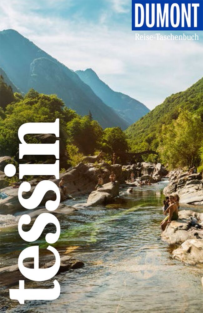
Ticino
Description
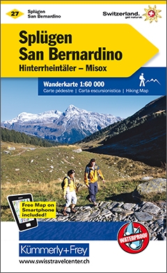
Map

Trails in this region
Links
Facts
Reports
Guides and maps
Lodging
Organisations
Tour operators
GPS
Other
Books

Stanfords
United Kingdom
United Kingdom
- DK Eyewitness Travel Guide Switzerland
- Marvel at the iconic Matterhorn, explore the fascinating art galleries and museums of Basel or stroll around the historic town of Lausanne on Lake Geneva. The DK Eyewitness Guide to Switzerland covers the must-see sights and the hidden backstreets, so you won`t miss a thing.- See Switzerland from a different angle - 14 pages of fresh ideas for... Read more

- Also available from:
- De Zwerver, Netherlands

The Book Depository
United Kingdom
2023
United Kingdom
2023
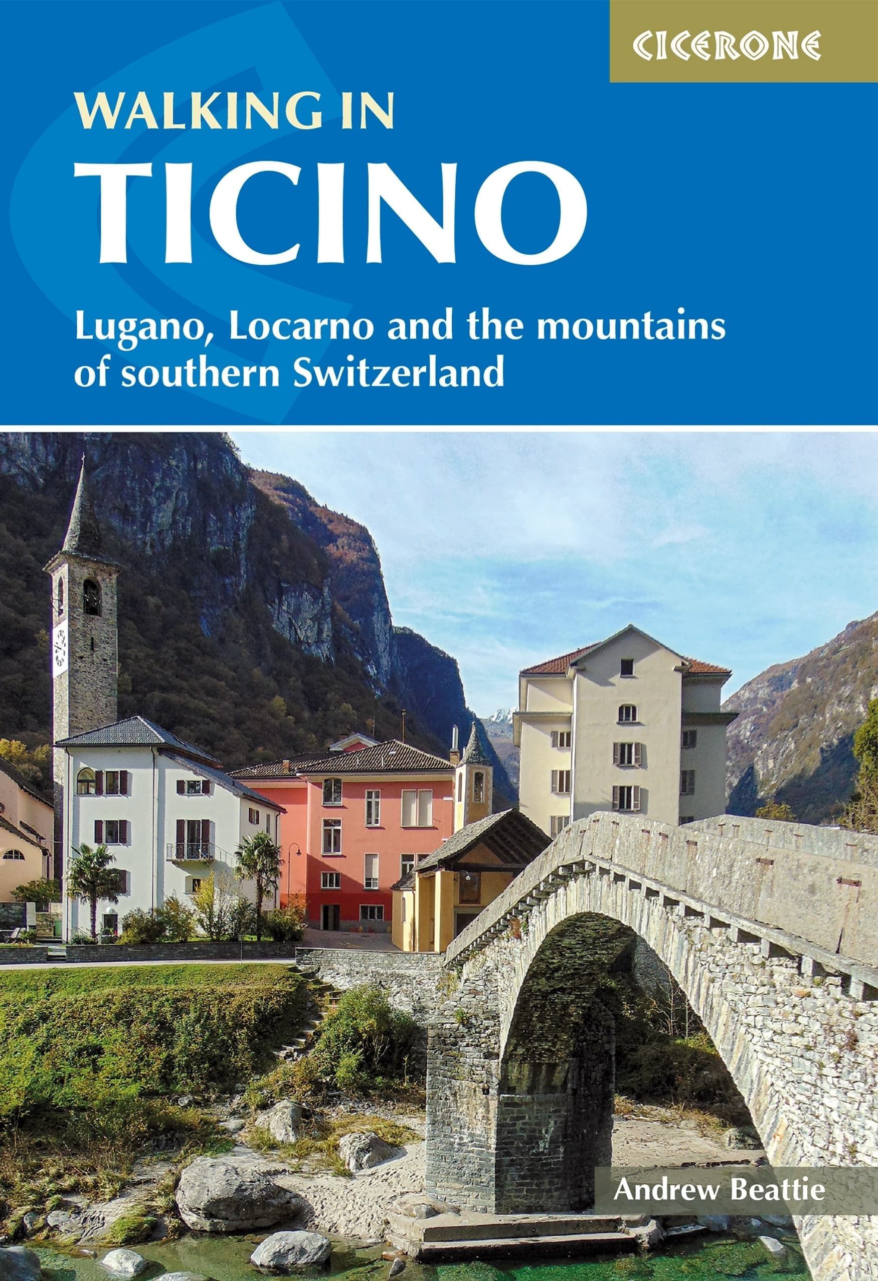
- Walking in Ticino
- Lugano, Locarno and the mountains of southern Switzerland Read more
- Also available from:
- De Zwerver, Netherlands
De Zwerver
Netherlands
2023
Netherlands
2023
- Wandelgids Walking in Ticino | Cicerone
- Lugano, Locarno and the mountains of southern Switzerland Read more
De Zwerver
Netherlands
2021
Netherlands
2021
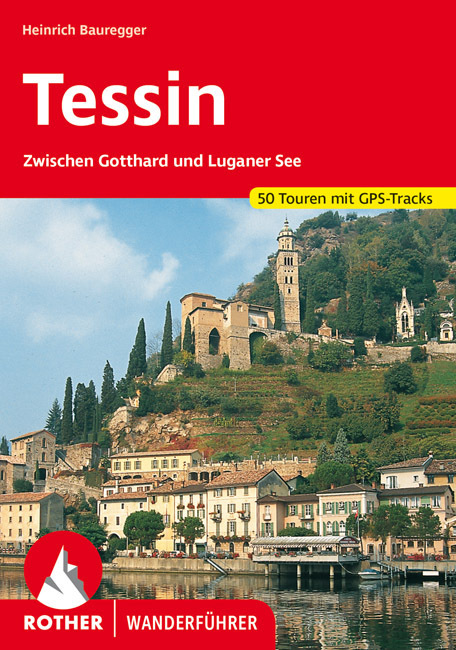
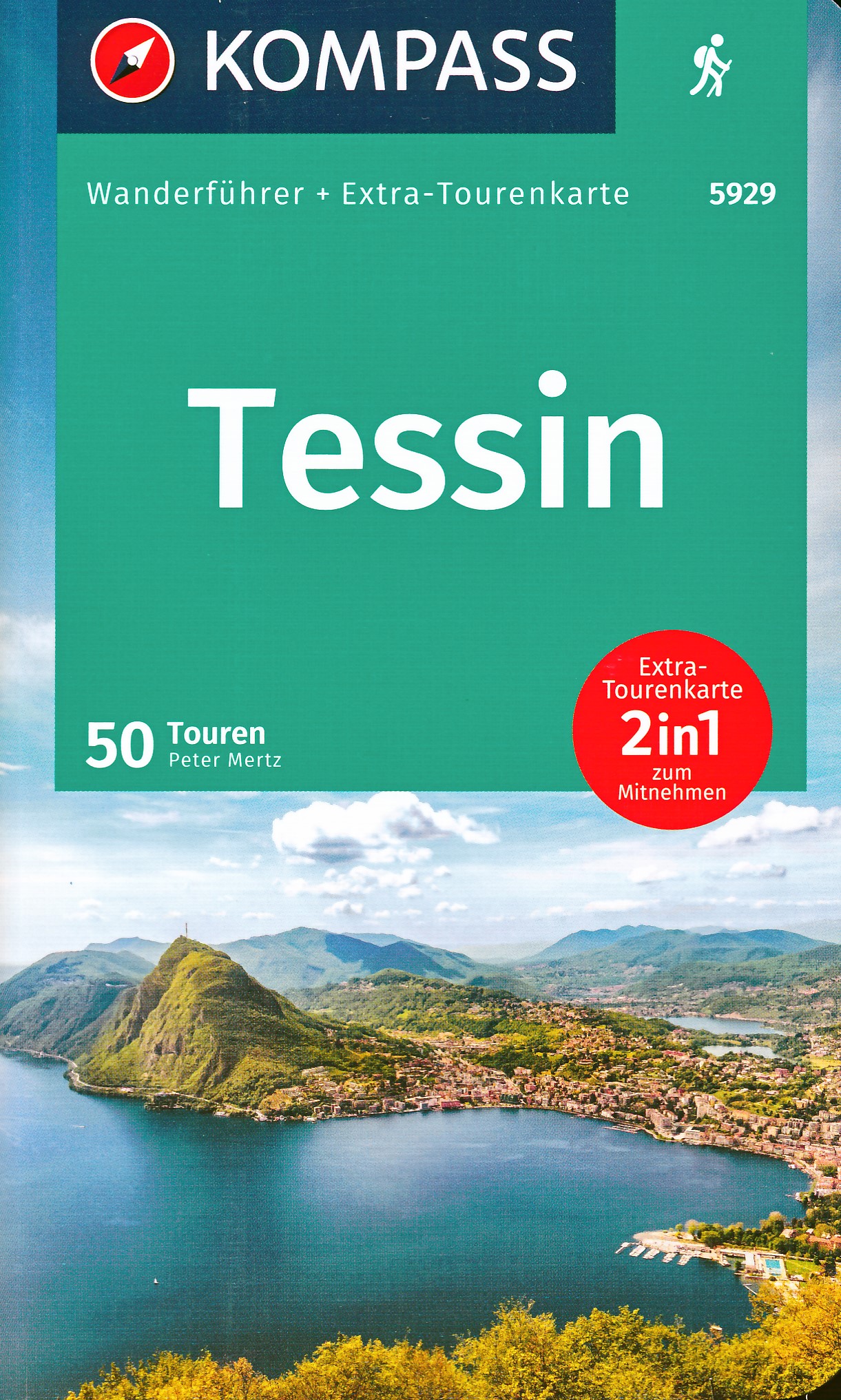
- Wandelgids Tessin | Rother Bergverlag
- Uitstekende wandelgids met een groot aantal dagtochten in dal en hooggebergte. Met praktische informatie en beperkt kaartmateriaal! Wandelingen in verschillende zwaarte weergegeven in rood/blauw/zwart. Das Tessin, die »Sonnenstube der Schweiz«, gehört zu den großartigsten Kultur- und Berglandschaften der Alpen. Der Name beinhaltet nicht nur ein... Read more
De Zwerver
Netherlands
2022
Netherlands
2022
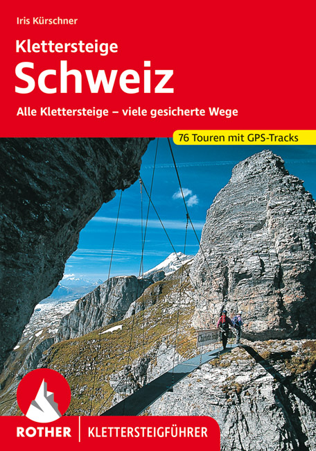
- Klimgids - Klettersteiggids Klettersteige Schweiz | Rother Bergverlag
- Alle 42 Klettersteige sowie die 24 schönsten gesicherten Wege, darunter eine 5-Tages-Tour Rother Wanderführer. 4., erweiterte und aktualisierte Auflage. Read more
De Zwerver
Netherlands
2009
Netherlands
2009
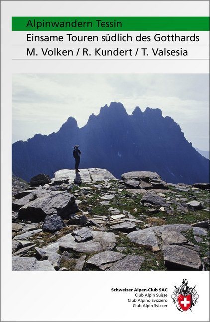
- Wandelgids Alpinwandern Tessin | SAC Schweizer Alpenclub
- Bergwandelgids voor Tessin. De gids beschrijft een groot aantal wandel routes door de Zwitserse Alpen in Tessin in verschillende etappes. De etappes zijn te combineren in rondwandelingen en diverse lange afstands tochten. De moeilijkheidsgraad van elke alpine tocht wordt aangegeven en verder geeft de gids ook een keur aan praktische informatie,... Read more
Bol.com
Netherlands
2017
Netherlands
2017
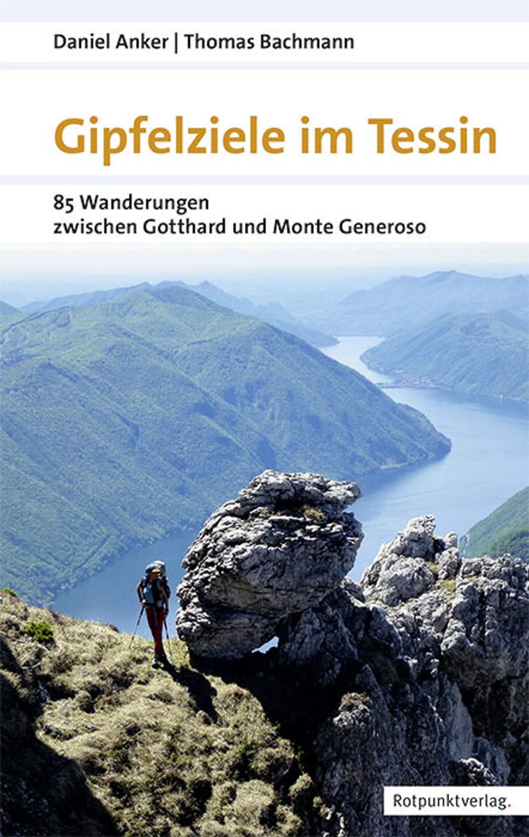
- Gipfelziele im Tessin 1.A 2017
- Ein Führer fürs Tessin, der die überraschend vielfältige Gipfelwelt im Süden der Schweiz vorstellt, von den gletscher- und geröllbedeckten Dreitausendern bis zu den palmengesäumten Seeufern. Die Touren in dieser Region, die vom zentralen Alpenbogen bis in die Po-Ebene hinunterreicht, wurden so ausgewählt, dass sich der Endpunkt der einen... Read more
- Also available from:
- Bol.com, Belgium
- De Zwerver, Netherlands
Bol.com
Belgium
2017
Belgium
2017
- Gipfelziele im Tessin 1.A 2017
- Ein Führer fürs Tessin, der die überraschend vielfältige Gipfelwelt im Süden der Schweiz vorstellt, von den gletscher- und geröllbedeckten Dreitausendern bis zu den palmengesäumten Seeufern. Die Touren in dieser Region, die vom zentralen Alpenbogen bis in die Po-Ebene hinunterreicht, wurden so ausgewählt, dass sich der Endpunkt der einen... Read more

De Zwerver
Netherlands
2017
Netherlands
2017
- Wandelgids Gipfelziele im Tessin | Rotpunktverlag
- 85 Wanderungen zwischen Gotthard und Monte Generoso Read more
De Zwerver
Netherlands
Netherlands
De Zwerver
Netherlands
2012
Netherlands
2012
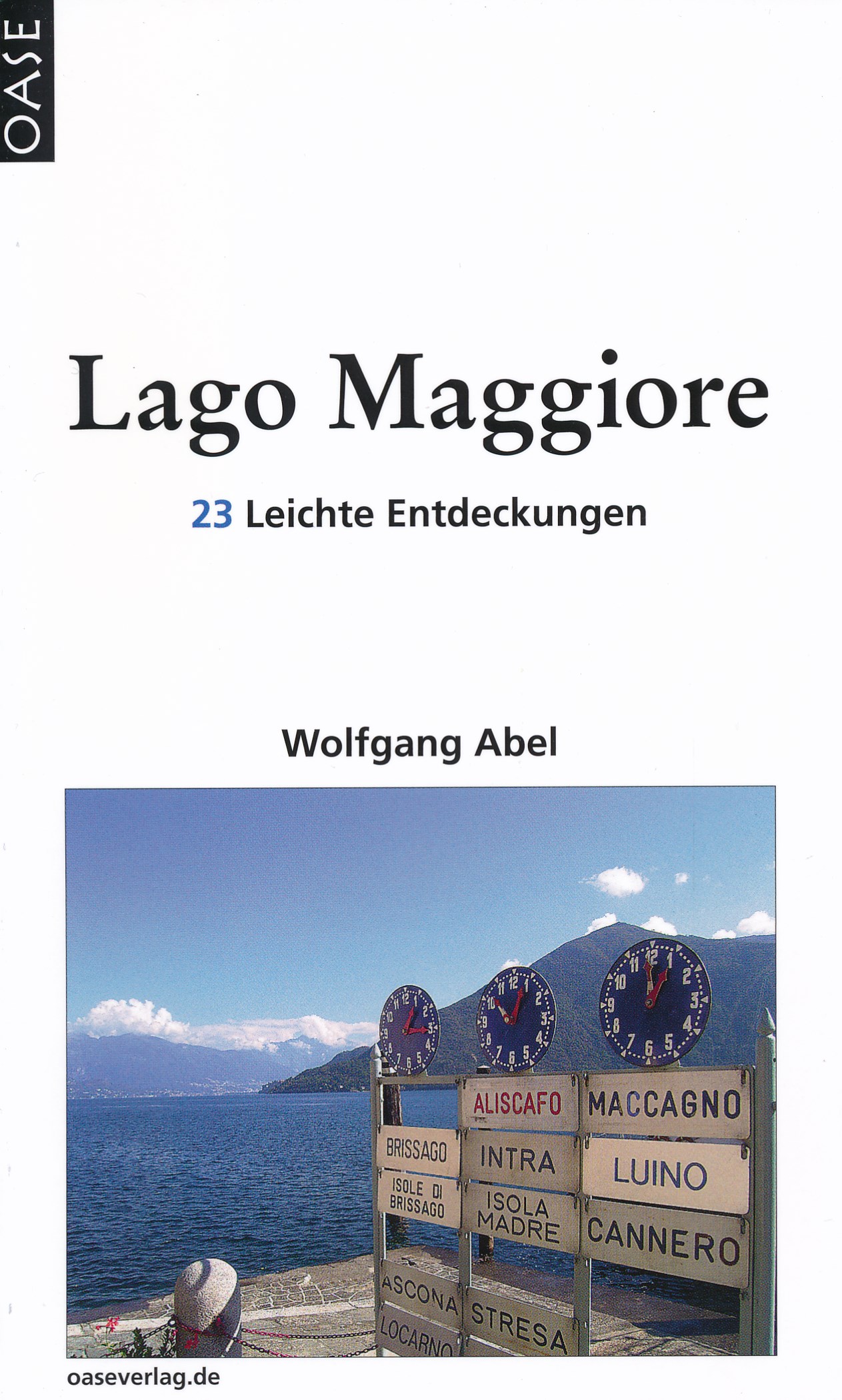
- Reisgids Lago Maggiore | Oase Verlag
- 23 Leichte Entdeckungen. 6. Auflage 2012. Read more

De Zwerver
Netherlands
2017
Netherlands
2017
- Wandelgids 411 Kautokeino - Nordkap E1 | Conrad Stein Verlag
- Handzaam boekje met de routebeschrijving inclusief een heleboel praktische informatie. De beschrijving is uitstekend, maar kaarten zijn wat beperkt. Duits. Die 330 km lange Wanderung auf dem E1 von Kautokeino zum Nordkap ist ein unvergessliches Wanderabenteuer. In 15 Etappen laufen Sie durch die Wildnis Nordnorwegens und überqueren die... Read more
De Zwerver
Netherlands
2022
Netherlands
2022
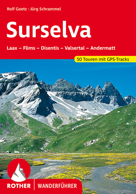
- Wandelgids Surselva | Rother Bergverlag
- Uitstekende wandelgids met een groot aantal dagtochten in dal en hooggebergte. Met praktische informatie en beperkt kaartmateriaal! Wandelingen in verschillende zwaarte weergegeven in rood/blauw/zwart. Die Surselva, auch bekannt unter den Bezeichnungen ",Bündner Oberland" oder "Vorderrheintal", ist außerhalb der Schweiz noch... Read more

Bol.com
Netherlands
Netherlands
- Mountain Days at Home and Abroad
- 'Mountain Days at Home and Abroad' is a lively account of the author's adventures in the mountains over a period of some 40 years, starting from the early days when he took part in annual mountain challenges and volunteered as an instructor on various Hill Walking and Climbing courses run by the Scouts from the old railway station at... Read more
- Also available from:
- Bol.com, Belgium
Bol.com
Belgium
Belgium
- Mountain Days at Home and Abroad
- 'Mountain Days at Home and Abroad' is a lively account of the author's adventures in the mountains over a period of some 40 years, starting from the early days when he took part in annual mountain challenges and volunteered as an instructor on various Hill Walking and Climbing courses run by the Scouts from the old railway station at... Read more

De Zwerver
Netherlands
2022
Netherlands
2022
Maps

Stanfords
United Kingdom
United Kingdom
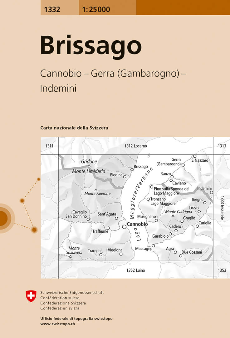
- Brissago Swisstopo 1332
- Map No. 1332, Brissago, in the topographic survey of Switzerland at 1:25,000 from Bundesamt für Landestopographie (swisstopo), covering the whole country on 247 small format sheets, with special larger maps published for popular regions including some titles now available in hiking versions.Highly regarded for their superb use of graphic relief... Read more
- Also available from:
- De Zwerver, Netherlands
De Zwerver
Netherlands
Netherlands
- Wandelkaart - Topografische kaart 1332 Brissago | Swisstopo
- Map No. 1332, Brissago, in the topographic survey of Switzerland at 1:25,000 from Bundesamt f Read more

Stanfords
United Kingdom
United Kingdom
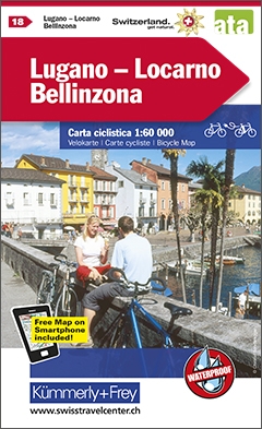
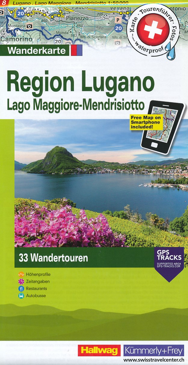
- Lugano - Mendrisiotto - Locarno
- 33 specially selected hiking trails in the southernmost part of the Ticino canton presented at 1:50,000 on a waterproof and tear-resistant, contoured and GPS compatible map from the Hallwag/Kümmerly + Frey group, with route profiles, grading for the severity of the terrain and the degree of fitness required, etc. Coverage includes Lugano,... Read more
- Also available from:
- De Zwerver, Netherlands
De Zwerver
Netherlands
Netherlands
- Wandelkaart Regio Lugano - Lago Maggiore - Mendrisiotto | Kümmerly & Frey
- 33 specially selected hiking trails in the southernmost part of the Ticino canton presented at 1:50,000 on a waterproof and tear-resistant, contoured and GPS compatible map from the Hallwag/K Read more
Stanfords
United Kingdom
United Kingdom
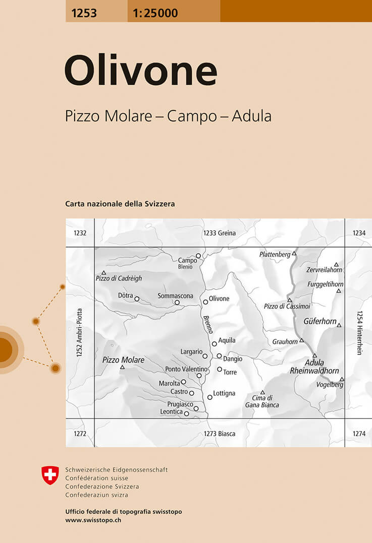
- Olivone Swisstopo 1253
- Map No. 1253, Olivone, in the topographic survey of Switzerland at 1:25,000 from Bundesamt für Landestopographie (swisstopo), covering the whole country on 247 small format sheets, with special larger maps published for popular regions including some titles now available in hiking versions.Highly regarded for their superb use of graphic relief... Read more
- Also available from:
- De Zwerver, Netherlands
De Zwerver
Netherlands
Netherlands
- Wandelkaart - Topografische kaart 1253 Olivone | Swisstopo
- Map No. 1253, Olivone, in the topographic survey of Switzerland at 1:25,000 from Bundesamt f Read more
Stanfords
United Kingdom
United Kingdom
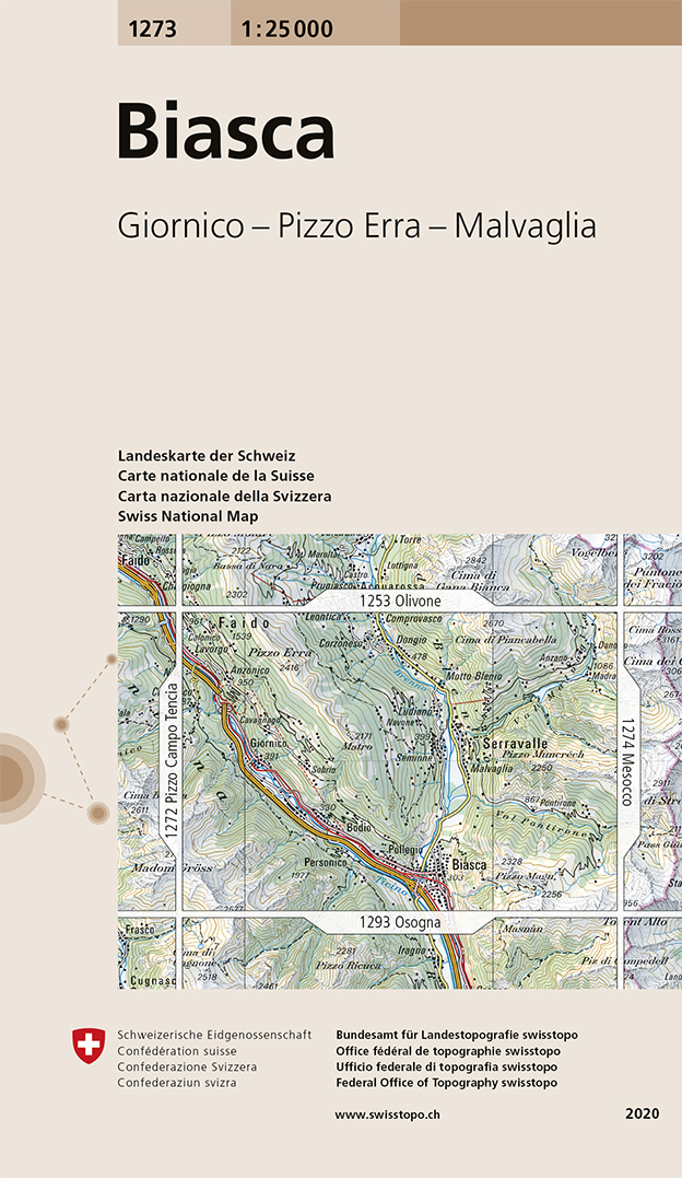
- Biasca Swisstopo 1273
- Map No. 1273, Biasca, in the topographic survey of Switzerland at 1:25,000 from Bundesamt für Landestopographie (swisstopo), covering the whole country on 247 small format sheets, with special larger maps published for popular regions including some titles now available in hiking versions.Highly regarded for their superb use of graphic relief... Read more
- Also available from:
- De Zwerver, Netherlands
De Zwerver
Netherlands
Netherlands
- Wandelkaart - Topografische kaart 1273 Biasca | Swisstopo
- Map No. 1273, Biasca, in the topographic survey of Switzerland at 1:25,000 from Bundesamt f Read more

Stanfords
United Kingdom
United Kingdom
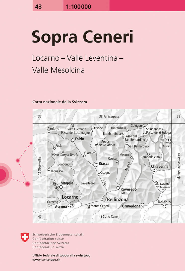
- Sopra Ceneri Swisstopo 43
- Swiss topographic survey at 1:100,000 from Swisstopo, highly regarded for it superb use of graphic relief and hill shading, presenting an almost 3-D picture of the country`s mountainous terrain. Coverage is available either as small size standard sheets – Nos 26 to 48, each covering 70 x 48 km / 43 x 30 miles approx, or as larger size maps -... Read more
- Also available from:
- De Zwerver, Netherlands
De Zwerver
Netherlands
Netherlands
- Fietskaart - Topografische kaart - Wegenkaart - landkaart 43 Sopra Ceneri | Swisstopo
- Map No. 43, Sopra Ceneri, in the Swiss topographic survey at 1:100,000 published in 23 standard sheets (Nos. 26 - 48), with special larger maps centred on popular tourist destinations (Nos. 101 - 111). Swiss survey maps are highly regarded for their superb use of graphic relief and hill shading, presenting an almost 3-D picture of the country's... Read more

Stanfords
United Kingdom
United Kingdom
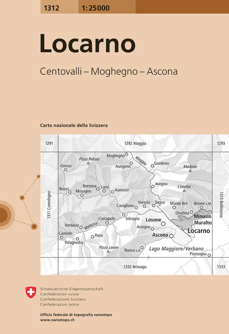
- Locarno Swisstopo 1312
- Map No. 1312, Locarno, in the topographic survey of Switzerland at 1:25,000 from Bundesamt für Landestopographie (swisstopo), covering the whole country on 247 small format sheets, with special larger maps published for popular regions including some titles now available in hiking versions.Highly regarded for their superb use of graphic relief... Read more
- Also available from:
- De Zwerver, Netherlands
De Zwerver
Netherlands
Netherlands
- Wandelkaart - Topografische kaart 1312 Locarno | Swisstopo
- Map No. 1312, Locarno, in the topographic survey of Switzerland at 1:25,000 from Bundesamt f Read more

Stanfords
United Kingdom
United Kingdom
- Ticino Swisstopo 107
- Swiss canton of Ticino on a Swiss topographic survey map at 1:100,000. Coverage extends south to Lake Lugano, most of Lake Maggiore, and most of Lake Como with the town of Como.Maps in the Swiss topographic survey at 1:100,000 from Swisstopo are highly regarded for their superb use of graphic relief and hill shading, presenting an almost 3-D... Read more

Stanfords
United Kingdom
United Kingdom
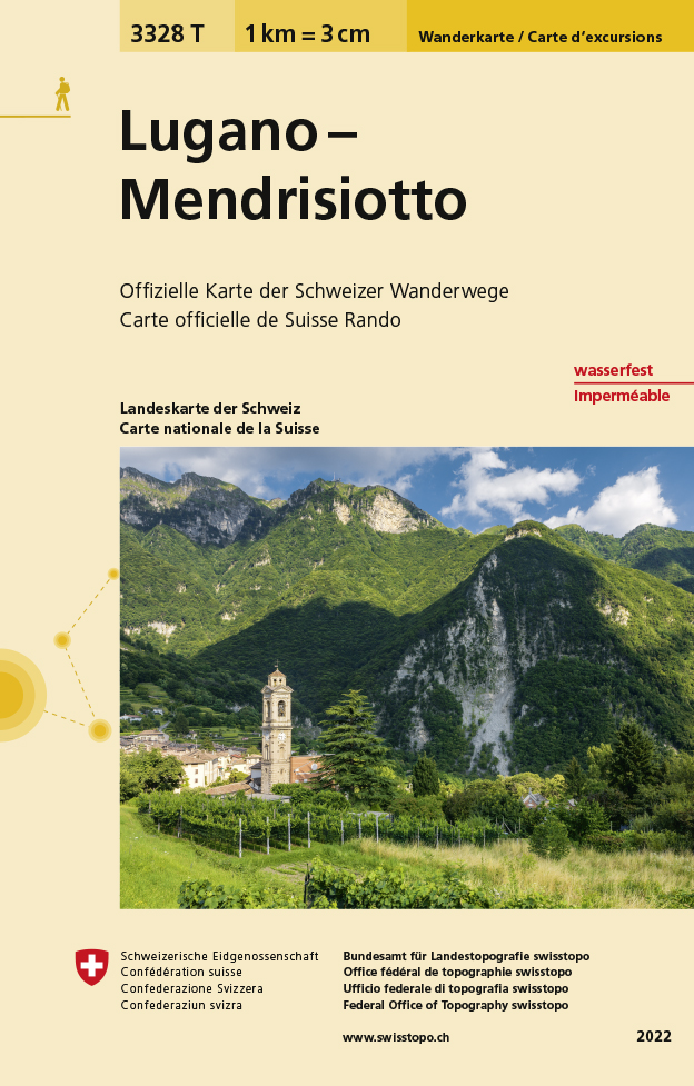
- Lugano - Mendrisiotto Swisstopo Hiking 3328T
- Lugano – Mendrisiotto area of Switzerland at 1:33,333 on light, waterproof and tear-resistant map No. 3328T published by Swisstopo in cooperation with the Swiss Hiking Federation. Cartography is the same as in Swisstopo’s 50K hiking maps, simply enlarged to 1:33,333 for extra clarity but without additional information. The title includes a... Read more
- Also available from:
- De Zwerver, Netherlands
De Zwerver
Netherlands
Netherlands
- Wandelkaart - Topografische kaart 3328T Lugano - Mendrisiotto | Swisstopo
- Lugano – Mendrisiotto area of Switzerland at 1:33,333 on light, waterproof and tear-resistant map No. 3328T published by Swisstopo in cooperation with the Swiss Hiking Federation. Cartography is the same as in Swisstopo’s 50K hiking maps, simply enlarged to 1:33,333 for extra clarity but without additional information. The title includes a... Read more

Stanfords
United Kingdom
United Kingdom
- Alta Valle del Lamone 22
- Map No. 22, Alta Valle del Lamone: Alto Appennino Faentino – Anello di Marradi, in series of contoured, GPS compatible hiking maps at 1:25,000 from the Istituto Geografico Adriatico, covering mainly the spine of the Apennines along the borders of Tuscany, Emilia-Romagna, Umbria and the Marches.Map in this series have contours at 25m intervals... Read more

Stanfords
United Kingdom
United Kingdom
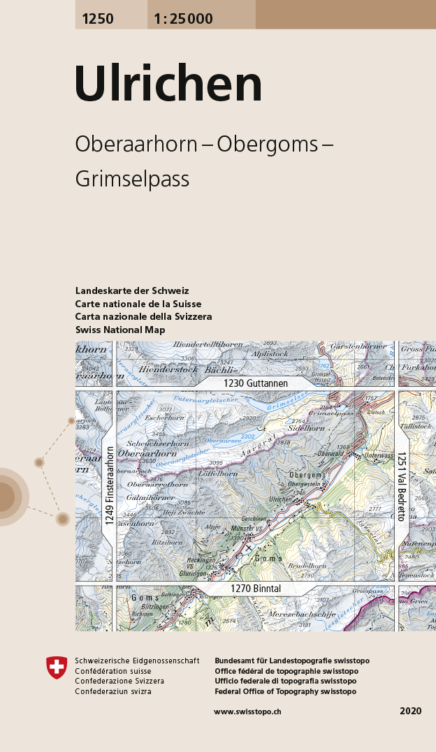
- Ulrichen Swisstopo 1250
- Map No. 1250, Ulrichen, in the topographic survey of Switzerland at 1:25,000 from Bundesamt für Landestopographie (swisstopo), covering the whole country on 247 small format sheets, with special larger maps published for popular regions including some titles now available in hiking versions.Highly regarded for their superb use of graphic relief... Read more
- Also available from:
- De Zwerver, Netherlands
De Zwerver
Netherlands
Netherlands
- Wandelkaart - Topografische kaart 1250 Ulrichen | Swisstopo
- Map No. 1250, Ulrichen, in the topographic survey of Switzerland at 1:25,000 from Bundesamt f Read more

Stanfords
United Kingdom
United Kingdom
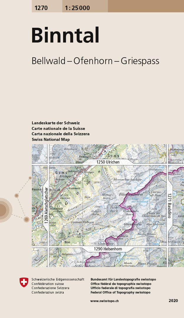
- Binntal Swisstopo 1270
- Map No. 1270, Binntal, in the topographic survey of Switzerland at 1:25,000 from Bundesamt für Landestopographie (swisstopo), covering the whole country on 247 small format sheets, with special larger maps published for popular regions including some titles now available in hiking versions.Highly regarded for their superb use of graphic relief... Read more
- Also available from:
- De Zwerver, Netherlands
De Zwerver
Netherlands
Netherlands
- Wandelkaart - Topografische kaart 1270 Binntal | Swisstopo
- Map No. 1270, Binntal, in the topographic survey of Switzerland at 1:25,000 from Bundesamt f Read more

Stanfords
United Kingdom
United Kingdom
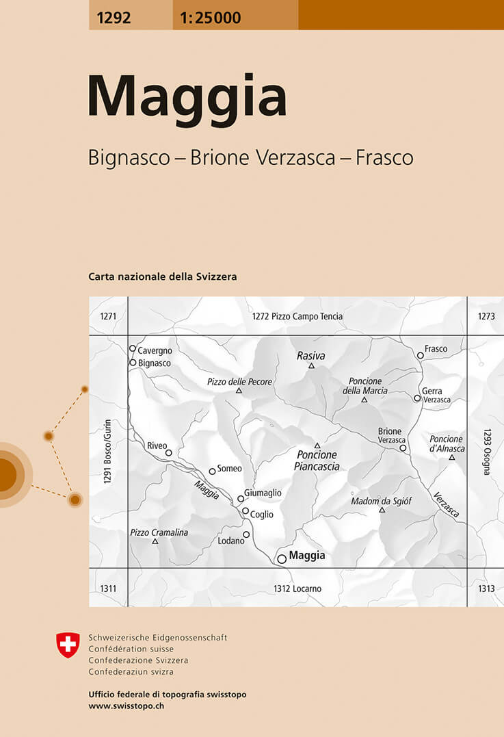
- Maggia Swisstopo 1292
- Map No. 1292, Maggia, in the topographic survey of Switzerland at 1:25,000 from Bundesamt für Landestopographie (swisstopo), covering the whole country on 247 small format sheets, with special larger maps published for popular regions including some titles now available in hiking versions.Highly regarded for their superb use of graphic relief... Read more
- Also available from:
- De Zwerver, Netherlands
De Zwerver
Netherlands
Netherlands
- Wandelkaart - Topografische kaart 1292 Maggia | Swisstopo
- Map No. 1292, Maggia, in the topographic survey of Switzerland at 1:25,000 from Bundesamt f Read more

Stanfords
United Kingdom
United Kingdom
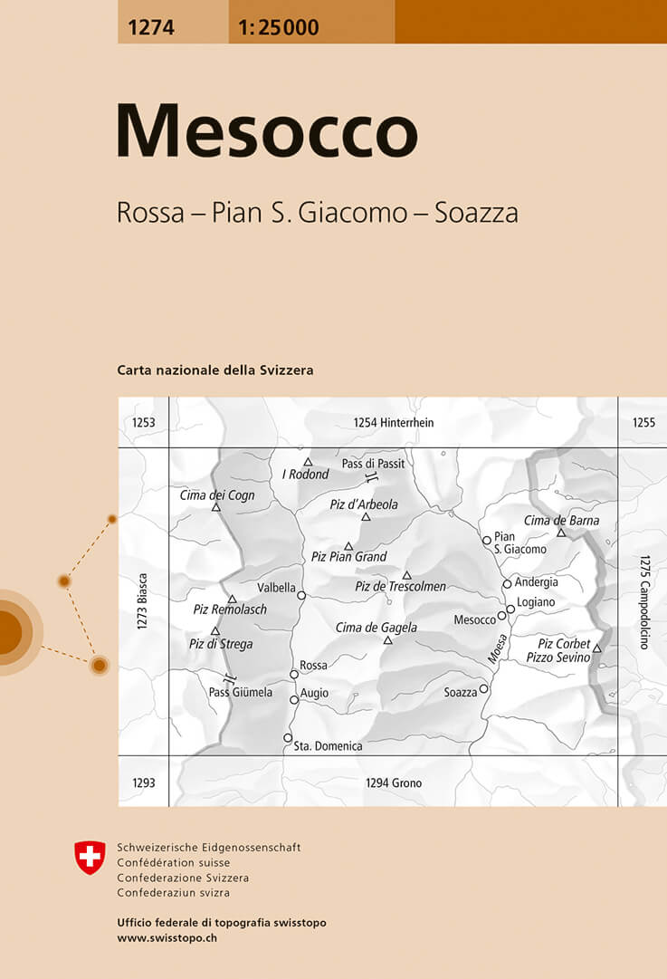
- Mesocco Swisstopo 1274
- Map No. 1274, Mesocco, in the topographic survey of Switzerland at 1:25,000 from Bundesamt für Landestopographie (swisstopo), covering the whole country on 247 small format sheets, with special larger maps published for popular regions including some titles now available in hiking versions.Highly regarded for their superb use of graphic relief... Read more
- Also available from:
- De Zwerver, Netherlands
De Zwerver
Netherlands
Netherlands
- Wandelkaart - Topografische kaart 1274 Mesocco | Swisstopo
- Map No. 1274, Mesocco, in the topographic survey of Switzerland at 1:25,000 from Bundesamt f Read more

Stanfords
United Kingdom
United Kingdom
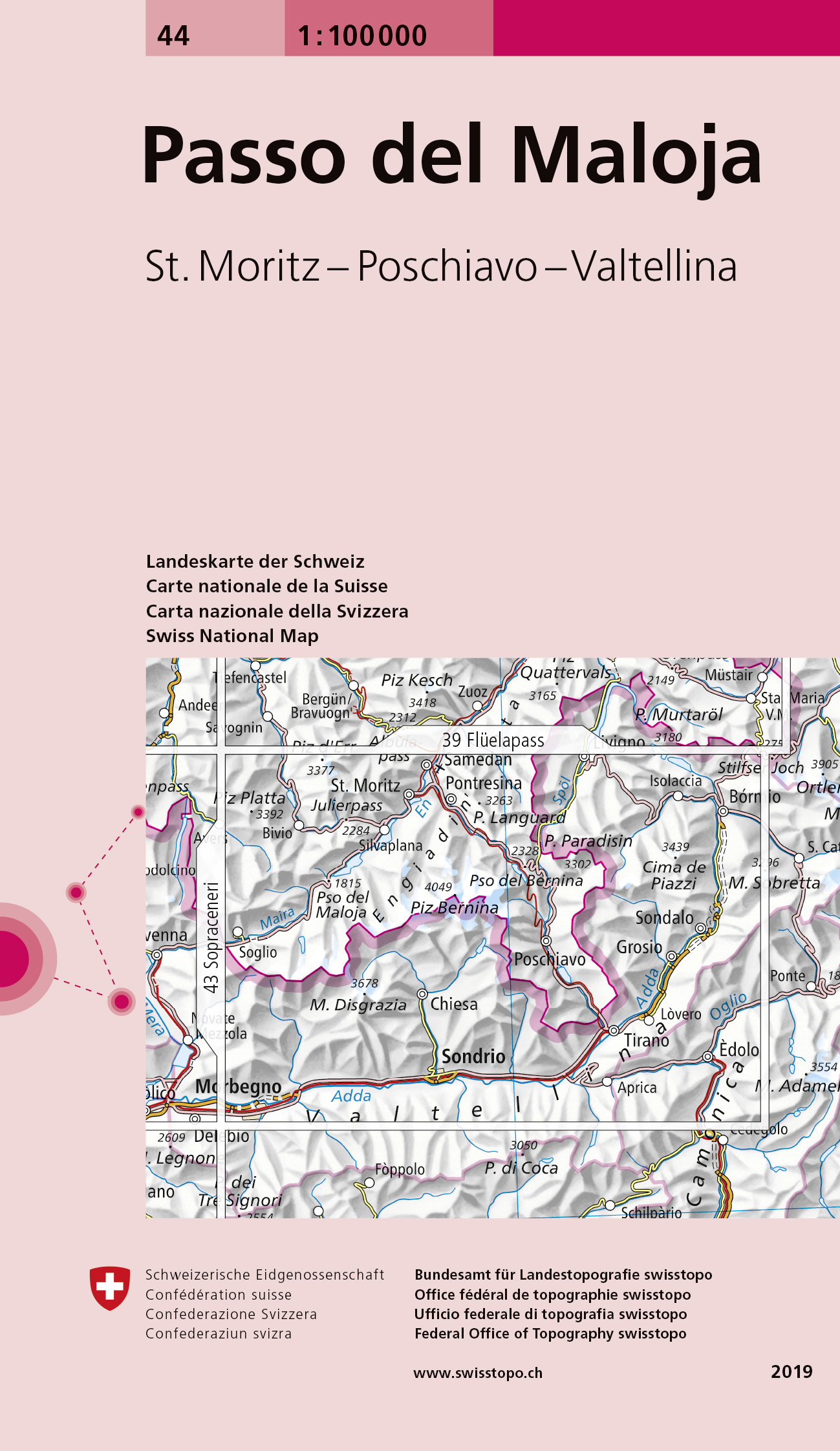
- Passo del Maloja Swisstopo 44
- Swiss topographic survey at 1:100,000 from Swisstopo, highly regarded for it superb use of graphic relief and hill shading, presenting an almost 3-D picture of the country`s mountainous terrain. Coverage is available either as small size standard sheets – Nos 26 to 48, each covering 70 x 48 km / 43 x 30 miles approx, or as larger size maps -... Read more
- Also available from:
- De Zwerver, Netherlands
De Zwerver
Netherlands
Netherlands
- Fietskaart - Topografische kaart - Wegenkaart - landkaart 44 Passo del Maloja | Swisstopo
- Map No. 44, Passo del Maloja, in the Swiss topographic survey at 1:100,000 published in 23 standard sheets (Nos. 26 - 48), with special larger maps centred on popular tourist destinations (Nos. 101 - 111). Swiss survey maps are highly regarded for their superb use of graphic relief and hill shading, presenting an almost 3-D picture of the... Read more

Stanfords
United Kingdom
United Kingdom
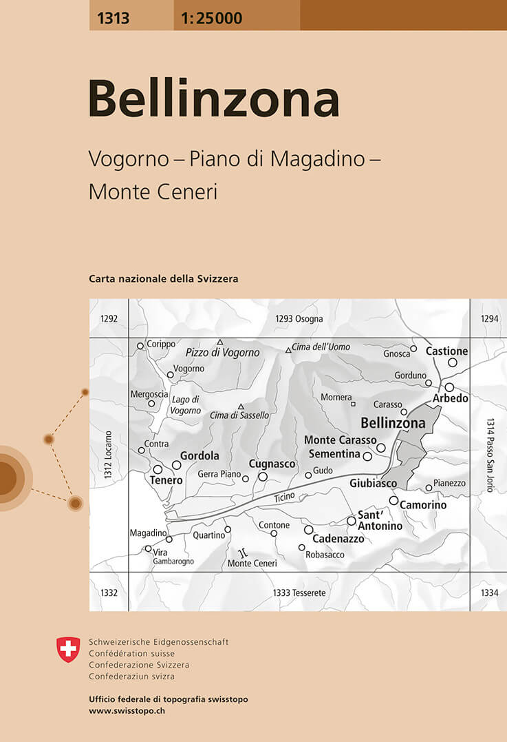
- Bellinzona Swisstopo 1313
- Map No. 1313, Bellinzona, in the topographic survey of Switzerland at 1:25,000 from Bundesamt für Landestopographie (swisstopo), covering the whole country on 247 small format sheets, with special larger maps published for popular regions including some titles now available in hiking versions.Highly regarded for their superb use of graphic... Read more
- Also available from:
- De Zwerver, Netherlands
De Zwerver
Netherlands
Netherlands
- Wandelkaart - Topografische kaart 1313 Bellinzona | Swisstopo
- Map No. 1313, Bellinzona, in the topographic survey of Switzerland at 1:25,000 from Bundesamt f Read more