
Ben Nevis
Description
- Height 1344.00 m
Links
Facts
Reports
Guides and maps
Lodging
Organisations
Tour operators
GPS
Other
Books

Stanfords
United Kingdom
2019
United Kingdom
2019
- West Highland Way: Glasgow to Fort William
- Fully revised 7th edition. The West Highland Way passes through some of the most spectacular scenery in all of Britain. From the outskirts of Glasgow it winds for 96 miles (154.5km) along the wooded banks of Loch Lomond, across the wilderness of Rannoch Moor, over the mountains above Glencoe to a dramatic finish passing Ben Nevis - Britain`s... Read more

Stanfords
United Kingdom
2015
United Kingdom
2015
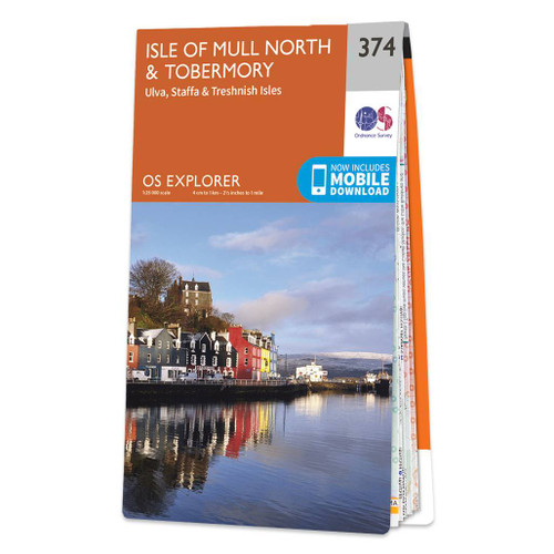
- Isle of Mull North & Tobermory - Ulva, Staffa & Treshnish Isles OS Explorer Map 374 (paper)
- The northern part of Mull with Tobermory, plus Ulva, Staffa and the Treshnish Isles on a detailed topographic and GPS compatible map No. 374, paper version, from the Ordnance Survey’s 1:25,000 Explorer series. MOBILE DOWNLOADS: this title and all the other OS Explorer maps include a code for downloading after purchase the digital version onto... Read more
- Also available from:
- The Book Depository, United Kingdom
- De Zwerver, Netherlands

De Zwerver
Netherlands
2015
Netherlands
2015

Stanfords
United Kingdom
2015
United Kingdom
2015
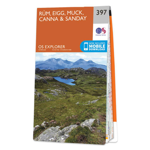
- Rum, Eigg, Muck, Canna & Sanday OS Explorer Map 397 (paper)
- The islands of Rum, Eigg, Muck, Canna and Sanday on a detailed topographic and GPS compatible map No. 397, paper version, from the Ordnance Survey’s 1:25,000 Explorer series.MOBILE DOWNLOADS: this title and all the other OS Explorer maps include a code for downloading after purchase the digital version onto your smartphone or tablet for viewing... Read more
- Also available from:
- The Book Depository, United Kingdom
- De Zwerver, Netherlands

De Zwerver
Netherlands
2015
Netherlands
2015

Stanfords
United Kingdom
2016
United Kingdom
2016
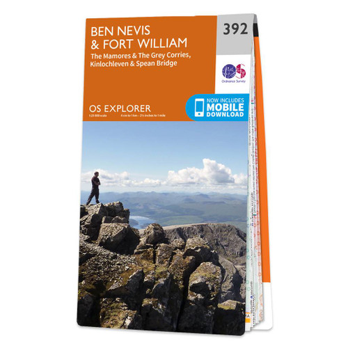
- Ben Nevis & Fort William - The Mamores, The Grey Corries, Kinlochleven & Spean Bridge OS Explorer Map 392 (paper)
- Ben Nevis and Fort William area, including The Mamores, The Grey Corries, Kinlochleven and Spean Bridge on a detailed topographic and GPS compatible map No. 392, paper version, from the Ordnance Survey’s 1:25,000 Explorer series. MOBILE DOWNLOADS: this title and all the other OS Explorer maps include a code for downloading after purchase the... Read more
- Also available from:
- The Book Depository, United Kingdom
- De Zwerver, Netherlands


Stanfords
United Kingdom
United Kingdom
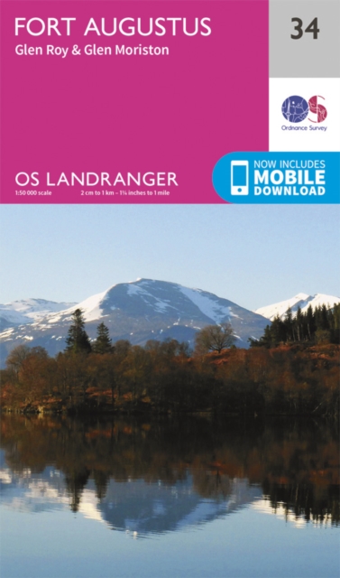
- Fort Augustus, Glen Albyn & Glen Roy OS Landranger Map 34 (paper)
- Paper version of map No. 34 from the Ordnance Survey’s Landranger series at 1:50,000, with contoured and GPS compatible topographic mapping plus tourist information.MOBILE DOWNLOADS: As well as the physical edition of the map, each Landranger title now includes a code for downloading after purchase its digital version onto your smartphone or... Read more
- Also available from:
- The Book Depository, United Kingdom
- De Zwerver, Netherlands

De Zwerver
Netherlands
Netherlands

Stanfords
United Kingdom
2016
United Kingdom
2016
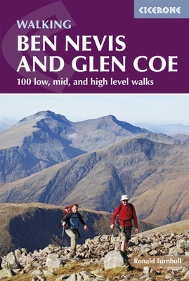
- Ben Nevis and Glencoe: 100 Low, Mid, and High Level Walks
- This guidebook details 100 walking routes around Ben Nevis and Glen Coe, centred in 10 areas including Fort William and Glen Nevis, the Aonachs, the Mamores, Kinlochleven, Glen Coe, Glen Etive, Black Mount and Ben Cruachan. Routes are graded according to difficulty, and range between short, easy strolls and long, challenging walks with... Read more
- Also available from:
- The Book Depository, United Kingdom
- De Zwerver, Netherlands

The Book Depository
United Kingdom
2016
United Kingdom
2016
- Ben Nevis and Glen Coe
- 100 low, mid, and high level walks Read more
De Zwerver
Netherlands
2017
Netherlands
2017
- Wandelgids Ben Nevis and Glen Coe | Cicerone
- 100 Low, Mid, and High Level Walks Read more

Stanfords
United Kingdom
2021
United Kingdom
2021
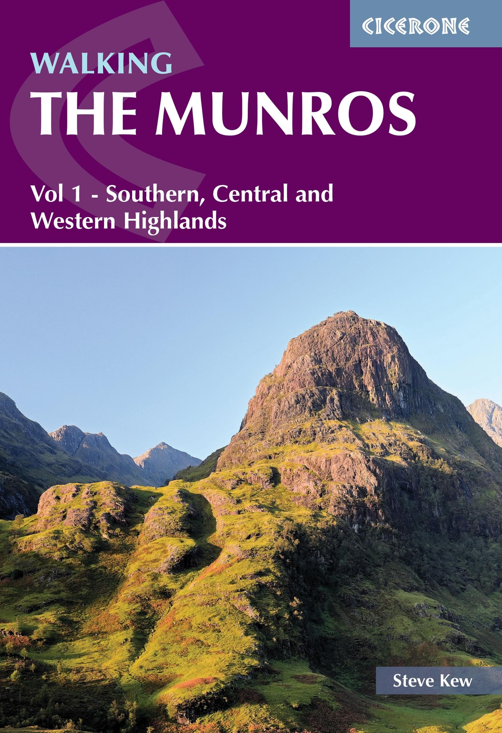
- Walking the Munros Vol 1 - Southern, Central and Western Highlands
- Half of a two-volume set describing challenging and inspiring routes to climb Scotland`s 282 3000ft+ mountains, this guide covers the southern, central and western Highlands (south of the Great Glen), taking in stunning areas such as Glen Coe, Glen Shee, Lochaber and Mull. 69 demanding and inspiring routes are described, covering 139 Munro... Read more
- Also available from:
- The Book Depository, United Kingdom
- De Zwerver, Netherlands

The Book Depository
United Kingdom
2021
United Kingdom
2021
- Walking the Munros Vol 1 - Southern, Central and Western Highlands
- Half of a two-volume set describing challenging and inspiring routes to climb Scotland`s 282 3000ft+ mountains, this guide covers the southern, central and western Highlands (south of the Great Glen), taking in stunning areas such as Glen Coe, Glen Shee, Lochaber and Mull. 69 demanding and inspiring routes are described, covering 139 Munro... Read more
De Zwerver
Netherlands
2021
Netherlands
2021
- Wandelgids Walking The Munros Vol 1 Southern, Central and Western Highlands - Schotland | Cicerone
- Half of a two-volume set describing challenging and inspiring routes to climb Scotland`s 282 3000ft+ mountains, this guide covers the southern, central and western Highlands (south of the Great Glen), taking in stunning areas such as Glen Coe, Glen Shee, Lochaber and Mull. 69 demanding and inspiring routes are described, covering 139 Munro... Read more

Stanfords
United Kingdom
2015
United Kingdom
2015
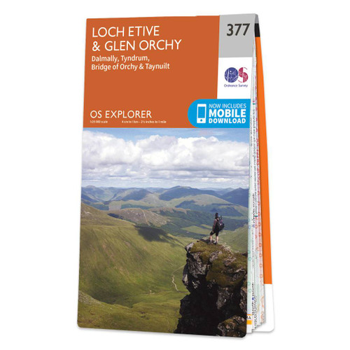
- Loch Etive & Glen Orchy - Dalmally, Tyndrum, Bridge of Orchy & Taynuilt OS Explorer Map 377 (paper)
- Loch Etive, Glen Orchy, Dalmally, Tyndrum, Bridge of Orchy and Taynuilt area on a detailed topographic and GPS compatible map No. 377, paper version, from the Ordnance Survey’s 1:25,000 Explorer series.MOBILE DOWNLOADS: this title and all the other OS Explorer maps include a code for downloading after purchase the digital version onto your... Read more
- Also available from:
- The Book Depository, United Kingdom
- De Zwerver, Netherlands

De Zwerver
Netherlands
2015
Netherlands
2015

Stanfords
United Kingdom
2015
United Kingdom
2015
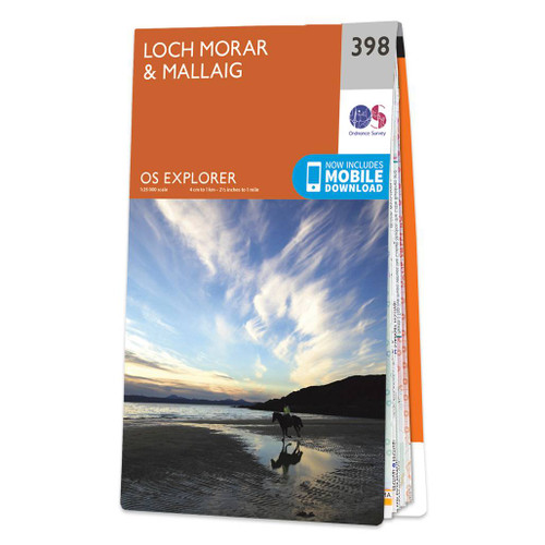
- Loch Morar & Mallaig OS Explorer Map 398 (paper)
- Loch Morar and Mallaig area on a detailed topographic and GPS compatible map No. 398, paper version, from the Ordnance Survey’s 1:25,000 Explorer series.MOBILE DOWNLOADS: this title and all the other OS Explorer maps include a code for downloading after purchase the digital version onto your smartphone or tablet for viewing on the OS smartphone... Read more
- Also available from:
- The Book Depository, United Kingdom
- De Zwerver, Netherlands

De Zwerver
Netherlands
2015
Netherlands
2015

Stanfords
United Kingdom
United Kingdom
- Ben Nevis & Fort William - The Mamores, The Grey Corries, Kinlochleven & Spean Bridge OS Explorer Active Map 392 (waterproof)
- Ben Nevis and Fort William area, including The Mamores, The Grey Corries, Kinlochleven and Spean Bridge on a detailed topographic and GPS compatible map No. 392, paper version, from the Ordnance Survey’s 1:25,000 Explorer series. MOBILE DOWNLOADS: this title and all the other OS Explorer maps include a code for downloading after purchase the... Read more
- Also available from:
- The Book Depository, United Kingdom
- De Zwerver, Netherlands

.jpg)

Stanfords
United Kingdom
2015
United Kingdom
2015
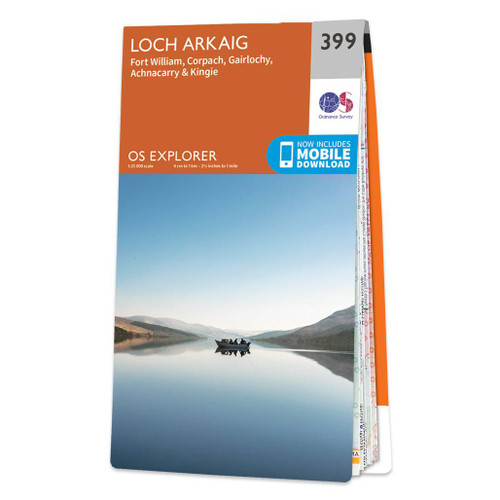
- Loch Arkaig - Fort William, Corpach - Gairlochy, Achnacarry & Kingie OS Explorer Map 399 (paper)
- Loch Arkaig, Fort William, Corpach, Gairlochy, Achnacarry and Kingie area on a detailed topographic and GPS compatible map No. 399, paper version, from the Ordnance Survey’s 1:25,000 Explorer series.MOBILE DOWNLOADS: this title and all the other OS Explorer maps include a code for downloading after purchase the digital version onto your... Read more
- Also available from:
- The Book Depository, United Kingdom
- De Zwerver, Netherlands

De Zwerver
Netherlands
2015
Netherlands
2015
- Also available from:
- De Zwerver, Netherlands


Stanfords
United Kingdom
2015
United Kingdom
2015
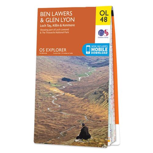
- Ben Lawyers & Glen Lyon - Loch Tay, Killin & Kenmore OS Explorer Map OL48 (paper)
- Ben Lawyers and Glen Lyon area of the Scottish Highlands on a detailed topographic and GPS compatible map OL48, paper version, from the Ordnance Survey’s 1:25,000 Explorer series. Coverage includes part of the Loch Rannoch and Glen Lyon National Scenic Area, 22 Munro peaks including An Stuc, Carn Gorm, Meall Glas and Sgiath Chuil, Loch Tay with... Read more
- Also available from:
- The Book Depository, United Kingdom
- De Zwerver, Netherlands

De Zwerver
Netherlands
2015
Netherlands
2015

Stanfords
United Kingdom
2015
United Kingdom
2015
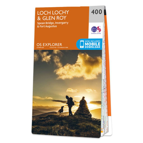
- Loch Lochy & Glen Roy - Spean Bridge, Invergarry & Fort Augustus OS Explorer Map 400 (paper)
- Loch Lochy, Glen Roy, Spean Bridge, Invergarry and Fort Augustus area on a detailed topographic and GPS compatible map No. 400, paper version, from the Ordnance Survey’s 1:25,000 Explorer series. MOBILE DOWNLOADS: this title and all the other OS Explorer maps include a code for downloading after purchase the digital version onto your smartphone... Read more
- Also available from:
- The Book Depository, United Kingdom
- De Zwerver, Netherlands


Stanfords
United Kingdom
2015
United Kingdom
2015
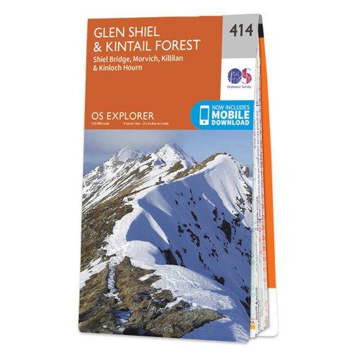
- Glen Shiel & Kintail Forest - Shiel Bridge, Morvich, Killilan & Kinloch Hourn OS Explorer Map 414 (paper)
- Glen Shiel, Kintail Forest, Shiel Bridge, Morvich, Killilan and Kinloch Hourn area on a detailed topographic and GPS compatible map No. 414, paper version, from the Ordnance Survey’s 1:25,000 Explorer series. MOBILE DOWNLOADS: this title and all the other OS Explorer maps include a code for downloading after purchase the digital version onto... Read more
- Also available from:
- The Book Depository, United Kingdom
- De Zwerver, Netherlands

De Zwerver
Netherlands
2015
Netherlands
2015
Maps

Stanfords
United Kingdom
United Kingdom
- The Three Peaks Challenge - Snowdon OS Explorer Map
- The mountains of the Three Peaks Challenge - Ben Nevis, Scafell Pike and Snowdon – on extracts from the Ordnance Survey 1:25,000 Explorer series, with enlargements of the summits, extracts from regional mapping to show road access, and an overview road map linking the three peaks.The area around each peak is presented on a 36x36cm panel with an... Read more

Stanfords
United Kingdom
United Kingdom
- National 3 Peaks Challenge Minimaps Set: Ben Nevis, Scafell Pike and Snowdon.
- The three peaks which are part of the National Three Peaks Challenge: Ben Nevis, Scafell Pike and Snowdon shown on handy size, waterproof and tear-resistant extracts from the Ordnance Survey 1:25,000 Explorer series. The three maps are sold together in a presentation wallet which also includes brief descriptions and spaces for recording your... Read more

Stanfords
United Kingdom
2018
United Kingdom
2018
- Ben Nevis & Glen Coe Harvey British Mountain Map XT40
- Waterproof mountain map of Ben Nevis & Glen Coe from Harvey at 1:40,000, with a geological map of the region on the reverse, an enlargement of Ben Nevis` summit, and advice on navigating the region safely.*MAIN MAP:* Topography is shown through clear altitude shading, spot heights, contours at 15m intervals, and index contours at 75m intervals.... Read more
- Also available from:
- The Book Depository, United Kingdom
- De Zwerver, Netherlands

The Book Depository
United Kingdom
2018
United Kingdom
2018
- Ben Nevis and Glen Coe
- Waterproof mountain map of Ben Nevis & Glen Coe from Harvey at 1:40,000, with a geological map of the region on the reverse, an enlargement of Ben Nevis' summit, and advice on navigating the region safely.MAIN MAP: Topography is shown through clear altitude shading, spot heights, contours at 15m intervals, and index contours at 75m intervals. A... Read more

De Zwerver
Netherlands
2018
Netherlands
2018
- Wandelkaart Ben Nevis & Glen Coe | Harvey Maps
- Waterproof mountain map of Ben Nevis & Glen Coe from Harvey at 1:40,000, with a geological map of the region on the reverse, an enlargement of Ben Nevis' summit, and advice on navigating the region safely.MAIN MAP: Topography is shown through clear altitude shading, spot heights, contours at 15m intervals, and index contours at 75m intervals. A... Read more

Stanfords
United Kingdom
United Kingdom
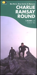
- Charlie Ramsay Round: Ben Nevis, Grey Corries and Mamores
- Charlie Ramsay Round, a route from the Ben Nevis Youth Hostel across the peak itself and 23 more summits including the Grey Corries and Mamores ranges, presented at 1:40,000 on a contoured, GPS compatible map from Harvey Map Services, printed on light, waterproof and tear-resistant paper. Contours are at 15m intervals enhanced by graphic relief... Read more
- Also available from:
- The Book Depository, United Kingdom
The Book Depository
United Kingdom
United Kingdom
- Charlie Ramsay Round
- Charlie Ramsay Round, a route from the Ben Nevis Youth Hostel across the peak itself and 23 more summits including the Grey Corries and Mamores ranges, presented at 1:40,000 on a contoured, GPS compatible map from Harvey Map Services, printed on light, waterproof and tear-resistant paper. Contours are at 15m intervals enhanced by graphic relief... Read more

Stanfords
United Kingdom
United Kingdom
- The West Highland Way - 95 Mile Route Between Milngavie and Fort William
- The West Highland Way waterproof map from Footprint is a map-guide to the 95 mile (153km) route between Milngavie and Fort William. The mapping is based on Ordnance Survey data at a scale of 1:40,000, with compact and concise information for walkers. Read more
- Also available from:
- The Book Depository, United Kingdom
- De Zwerver, Netherlands

The Book Depository
United Kingdom
United Kingdom
- The West Highland Way (Footprint Map)
- A Footprint Map-Guide to the 95 Mile Route Between Milngavie and Fort William Read more

De Zwerver
Netherlands
Netherlands
- Wandelkaart The West Highland Way | Footprint maps
- The West Highland Way waterproof map from Footprint is a map-guide to the 95 mile (153km) route between Milngavie and Fort William. The mapping is based on Ordnance Survey data at a scale of 1:40,000, with compact and concise information for walkers. Read more

Stanfords
United Kingdom
2018
United Kingdom
2018
- East Highland Way Harvey National Trail XT40
- East Highland Way, a 132km / 82 miles trail on a light, waterproof and tear-resistant map at 1:40,000 from Harvey Map Services presenting the route accompanied by extensive additional tourist information. The route links Fort Williams, the northern point of the West Highland Way and the southern point of the Great Glen Way, with Aviemore, the... Read more
- Also available from:
- The Book Depository, United Kingdom
- De Zwerver, Netherlands

The Book Depository
United Kingdom
2018
United Kingdom
2018
- East Highland Way
- East Highland Way, a 132km / 82 miles trail on a light, waterproof and tear-resistant map at 1:40,000 from Harvey Map Services presenting the route accompanied by extensive additional tourist information. The route links Fort Williams, the northern point of the West Highland Way and the southern point of the Great Glen Way, with Aviemore, the... Read more

De Zwerver
Netherlands
2018
Netherlands
2018
- Wandelkaart East Highland Way | Harvey Maps
- East Highland Way, a 132km / 82 miles trail on a light, waterproof and tear-resistant map at 1:40,000 from Harvey Map Services presenting the route accompanied by extensive additional tourist information. The route links Fort Williams, the northern point of the West Highland Way and the southern point of the Great Glen Way, with Aviemore, the... Read more

Stanfords
United Kingdom
United Kingdom
- Great Glen Way Harvey National Trail XT40
- Great Glen Way, a 126km/79 miles trail from Fort William along Loch Ness to Inverness, presented at 1:40,000 on a light, waterproof and tear-resistant map from Harvey Map Services. The whole route is covered on four overlapping panels, and includes street plans of Fort William (showing the start/end of the West Highland Way) and Inverness. Map... Read more
- Also available from:
- The Book Depository, United Kingdom
- De Zwerver, Netherlands

The Book Depository
United Kingdom
United Kingdom
- Great Glen Way
- Great Glen Way, a 126km/79 miles trail from Fort William along Loch Ness to Inverness, presented at 1:40,000 on a light, waterproof and tear-resistant map from Harvey Map Services. The whole route is covered on four overlapping panels, and includes street plans of Fort William (showing the start/end of the West Highland Way) and Inverness. Map... Read more

De Zwerver
Netherlands
Netherlands
- Wandelkaart Great Glen Way | Harvey Maps
- Great Glen Way, a 126km/79 miles trail from Fort William along Loch Ness to Inverness, presented at 1:40,000 on a light, waterproof and tear-resistant map from Harvey Map Services. The whole route is covered on four overlapping panels, and includes street plans of Fort William (showing the start/end of the West Highland Way) and Inverness. Map... Read more

Stanfords
United Kingdom
2013
United Kingdom
2013
- South Loch Ness Trail Harvey National Trail XT40
- The South Loch Ness Trail, a 45km / 28 mile long hiking route from Loch Tarff near Fort Augustus on the southern tip of Loch Ness to Torbreck on the outskirts of Inverness at 1:40,000 on GPS compatible, light, waterproof and tear-resistant map from Harvey Map Services. The map also highlights the course of the Trail of the 7 Lochs, an 80km / 50... Read more
- Also available from:
- The Book Depository, United Kingdom
- De Zwerver, Netherlands

The Book Depository
United Kingdom
2013
United Kingdom
2013
- South Loch Ness Trail
- The South Loch Ness Trail, a 45km / 28 mile long hiking route from Loch Tarff near Fort Augustus on the southern tip of Loch Ness to Torbreck on the outskirts of Inverness at 1:40,000 on GPS compatible, light, waterproof and tear-resistant map from Harvey Map Services. The map also highlights the course of the Trail of the 7 Lochs, an 80km / 50... Read more

De Zwerver
Netherlands
2013
Netherlands
2013
- Wandelkaart South Loch Ness Trail | Harvey Maps
- The South Loch Ness Trail, a 45km / 28 mile long hiking route from Loch Tarff near Fort Augustus on the southern tip of Loch Ness to Torbreck on the outskirts of Inverness at 1:40,000 on GPS compatible, light, waterproof and tear-resistant map from Harvey Map Services. The map also highlights the course of the Trail of the 7 Lochs, an 80km / 50... Read more

Bol.com
Netherlands
2014
Netherlands
2014
- Great Glen Way
- This guidebook (fully updated 2014) contains all you need to plan and enjoy a holiday walking or cycling along Scotland's historic Great Glen (77 miles/125 km). The Way runs between Fort William and Inverness, beside Scotland's highest mountain, along the historic Caledonian Canal and past beautiful lochs, including Loch Ness with its famous... Read more
- Also available from:
- Bol.com, Belgium
Bol.com
Belgium
2014
Belgium
2014
- Great Glen Way
- This guidebook (fully updated 2014) contains all you need to plan and enjoy a holiday walking or cycling along Scotland's historic Great Glen (77 miles/125 km). The Way runs between Fort William and Inverness, beside Scotland's highest mountain, along the historic Caledonian Canal and past beautiful lochs, including Loch Ness with its famous... Read more
Stanfords
United Kingdom
2018
United Kingdom
2018
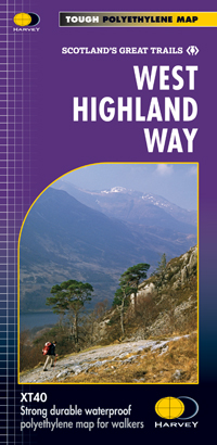
- West Highland Way Harvey National Trail XT40
- The West Highland Way, Scotland’s premier 153km / 96 miles long trail from Milngavie near Glasgow along Loch Lomond to Fort William presented at 1:40,000 on a light, waterproof and tear-resistant map from Harvey Map Services. The whole route is covered by nine overlapping panels, and the map includes small street plan of Milngavie, Tyndrum,... Read more
- Also available from:
- Bol.com, Netherlands
- Bol.com, Belgium
- De Zwerver, Netherlands

Bol.com
Netherlands
2018
Netherlands
2018
- West Highland Way XT40
- The West Highland Way is 96 miles (153 km) long and links Milngavie (Glasgow) to Fort William. It run's from Scotland's largest city to the foot of its highest mountain, Ben Nevis, through the Loch Lomond and Trossachs National Park.Detailed mapping, full legend in English, French and German. National Grid. Read more
Bol.com
Belgium
2018
Belgium
2018
- West Highland Way XT40
- The West Highland Way is 96 miles (153 km) long and links Milngavie (Glasgow) to Fort William. It run's from Scotland's largest city to the foot of its highest mountain, Ben Nevis, through the Loch Lomond and Trossachs National Park.Detailed mapping, full legend in English, French and German. National Grid. Read more

De Zwerver
Netherlands
2018
Netherlands
2018
- Wandelkaart West Highland Way | Harvey Maps
- Wandelkaart van de West Highland Way met uitsnedes van de route. Leap forward in technical excellence. Tough, light and 100% wateproof. Compact and light - the map itself weighs just 60gms - a third of the weight of a laminated map, and much less bulky. And you can fold or refold it time and again, or stuff it in your back pocket and it... Read more

Stanfords
United Kingdom
2022
United Kingdom
2022
- Ben Nevis - Mamores & Grey Corries Harvey Superwalker XT25
- Ben Nevis with the Mamores and Grey Corries ranges at 1:25,000 on a double-sided, waterproof and tear-resistant map from Harvey Map Services in their Superwalker series, with the peak area also shown in greater detail at 1:12,500. The map divides the area north/south, with a good overlap between the sides, extending from Fort William past Loch... Read more
- Also available from:
- De Zwerver, Netherlands

De Zwerver
Netherlands
2022
Netherlands
2022
- Wandelkaart Ben Nevis | Harvey Maps
- Ben Nevis with the Mamores and Grey Corries ranges at 1:25,000 on a double-sided, waterproof and tear-resistant map from Harvey Map Services with the peak area shown in greater detail at 1:12,500. The map divides the area north/south, with a good overlap between the sides, extending from Fort William past Loch Treig to Chno Deang, plus south to... Read more