
Cuillin
Description
Dramatic, jagged mountain ridge on the Isle of Skye. The traverse of the ridge will take several days (15 - 20 hours), even if the distance is only 7 miles. Highest point is Sgùrr Alasdair, 992 m. Good rock climbing.
Links
Facts
Reports
Guides and maps
Lodging
Organisations
Tour operators
GPS
Other
Books

Stanfords
United Kingdom
2003
United Kingdom
2003
- Skye 360:Walking the Coastline of Skye
- One long walk divided into lots of short walks taking you all the way round Skye`s rugged coastline. Skye`s plethora of peninsulas and sea-lochs contain awesome cliffs, remote beaches, storm tossed sea-stacks, natural arches, ancient duns, romantic castles, poignant Clearance settlements, tidal islands and idyllic secluded corners. If you want... Read more

Stanfords
United Kingdom
United Kingdom
- Highland Journal: 1. The Making of a Hillwalker
- Jack`s love of hillwalking began with a trip to the North-West Highlands where he and his son, Tom, began to explore the extraordinary mountains of Coigach and Inverpolly. Now this experienced hillwalker and geographer writes `Highland Journal`, an illustrated memoir looking back on his adventures. Joining the Jolly Boys, an anarchic group of... Read more

Stanfords
United Kingdom
2011
United Kingdom
2011
- Skye & The Western Isles
- Skye & the Western Isles is a fully revised new edition of the only comprehensive guide to Scotland`s Western Isles, which include Skye, Lewis, Harris, Uist, Iona, Jura, Islay and Arran. These enchanting islands reward the visitor with a rich variety of terrain and wildlife from the stark beauty of the Cuillin mountains of Skye to the raging... Read more

Stanfords
United Kingdom
2008
United Kingdom
2008
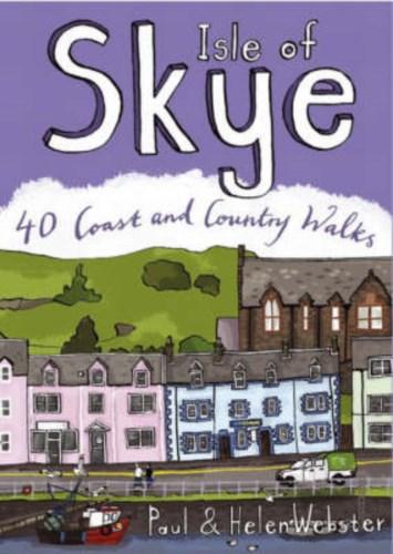
- Isle of Skye
- The Isle of Skye (or Ant-Eilean Sgitheanach in its native Gaelic tongue) occupies an almost mythical place in the minds of many Scots. Romantic castles, magnificent sea-scapes, the alpine peaks of the Cuillin Ridge, marching pipe bands, scattered white crofters` cottages and a bloody history; the island has all these and more. This book... Read more
- Also available from:
- The Book Depository, United Kingdom
- De Zwerver, Netherlands

De Zwerver
Netherlands
2008
Netherlands
2008
- Wandelgids Isle of Skye | Pocket Mountains
- The Isle of Skye (or Ant-Eilean Sgitheanach in its native Gaelic tongue) occupies an almost mythical place in the minds of many Scots. Romantic castles, magnificent sea-scapes, the alpine peaks of the Cuillin Ridge, marching pipe bands, scattered white crofters' cottages and a bloody history; the island has all these and more. This book... Read more

The Book Depository
United Kingdom
United Kingdom
- The Cuillin and other Skye Mountains
- The Cuillin Ridge & 100 select routes for mountain climbers & hillwalkers Read more

Stanfords
United Kingdom
United Kingdom
- The Skye Trail
- Of all Scotland`s islands none casts its spell quite as dramatically as the Isle of Skye. Celebrated in song and story, Eilean a`Cheo is a place of astonishing natural beauty and attracts climbers and walkers from all over the world. The 70-mile long Skye Trail connects two of the island`s most extraordinary landscapes; the world-famous... Read more
- Also available from:
- The Book Depository, United Kingdom


Stanfords
United Kingdom
2016
United Kingdom
2016
- Walks Isle Of Skye
- Rewalked and updated in 2016, this guide covers the islands of Skye and Raasay. The mountains on Skye are justly famous and whilst this guide doesn`t include the serious mountain routes it does feature climbs up some of the lower hills as well as dramatic coastal walking on the two islands. The 31 walks featured range from three quarters of a... Read more
- Also available from:
- The Book Depository, United Kingdom
- De Zwerver, Netherlands


The Book Depository
United Kingdom
United Kingdom
- Skye's Cuillin Ridge Traverse
- Strategies, advice, detailed topo booklet and 10 classic scrambles Read more

Stanfords
United Kingdom
2012
United Kingdom
2012
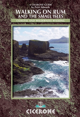
- Rum and the Small Isles Walking
- Walking on Rum and the Small Isles hiking guide from Cicerone Press with recommendations for seven walks on Rum, plus two each on Eigg, Canna, Coll and Tiree, and one on Muck, all highlighted on extracts from the Ordnance Survey Landranger series.15 of the recommendations are day walks, including a challenging 9-10hrs tour of the Rum Cuillin,... Read more
- Also available from:
- The Book Depository, United Kingdom
- De Zwerver, Netherlands

The Book Depository
United Kingdom
2012
United Kingdom
2012
- Walking on Rum and the Small Isles
- Rum, Eigg, Muck, Canna, Coll and Tiree Read more
De Zwerver
Netherlands
2012
Netherlands
2012
- Wandelgids Walking on Rum and the Small Isles - Schotland | Cicerone
- A handy guidebook to walking and backpacking in the Western Isles of Scotland on Rum, Eigg, Muck, Canna, Coll and Tiree including a tough 55km backpack around the coast of Rum, a circuit of the Rum Cuillin and an ascent of An Sgurr (Eigg). 16 routes across all the islands suitable for a range of abilities exploring coasts, mountains and wilderness. Read more

Stanfords
United Kingdom
United Kingdom
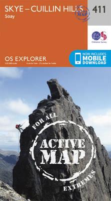
- Skye: Cuillin Hills - Soay OS Explorer Active Map 411 (waterproof)
- Skye: Cuillin Hills and Soay area on a detailed topographic and GPS compatible map No. 411, waterproof version, from the Ordnance Survey’s 1:25,000 Explorer series.MOBILE DOWNLOADS: this title and all the other OS Explorer maps include a code for downloading after purchase the digital version onto your smartphone or tablet for viewing on the OS... Read more
- Also available from:
- The Book Depository, United Kingdom
- De Zwerver, Netherlands

De Zwerver
Netherlands
Netherlands

Stanfords
United Kingdom
2015
United Kingdom
2015
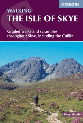
- Isle of Skye - Graded walks and Scrambles throughout the Island
- This guidebook describes 87 of the best walks and scrambles on the Isle of Skye. Not only limited to the popular routes on the Black Cuillin or Skye`s 12 Munros, the guide offers a comprehensive selection of routes in all areas of the island; in Sleat and South-East Skye, Strath, Minginish, Duirinish, Waternish and Trotternish. The routes range... Read more
- Also available from:
- The Book Depository, United Kingdom
- De Zwerver, Netherlands

The Book Depository
United Kingdom
2015
United Kingdom
2015
- The Isle of Skye
- Walks and scrambles throughout Skye, including the Cuillin Read more
De Zwerver
Netherlands
2015
Netherlands
2015
- Wandelgids The Isle of Skye | Cicerone
- Guidebook with 87 walks and scrambles on the Isle of Skye. Walks visit the most awe-inspiring scenery on Skye, including Sleat and South-East Skye, Strath, Minginish, Duirinish, Waternish, Trotternish and the Cuillin. Walks range from coastal walks to Munros with exposure for experienced scramblers. Includes history, geology and local information. Read more

Stanfords
United Kingdom
United Kingdom
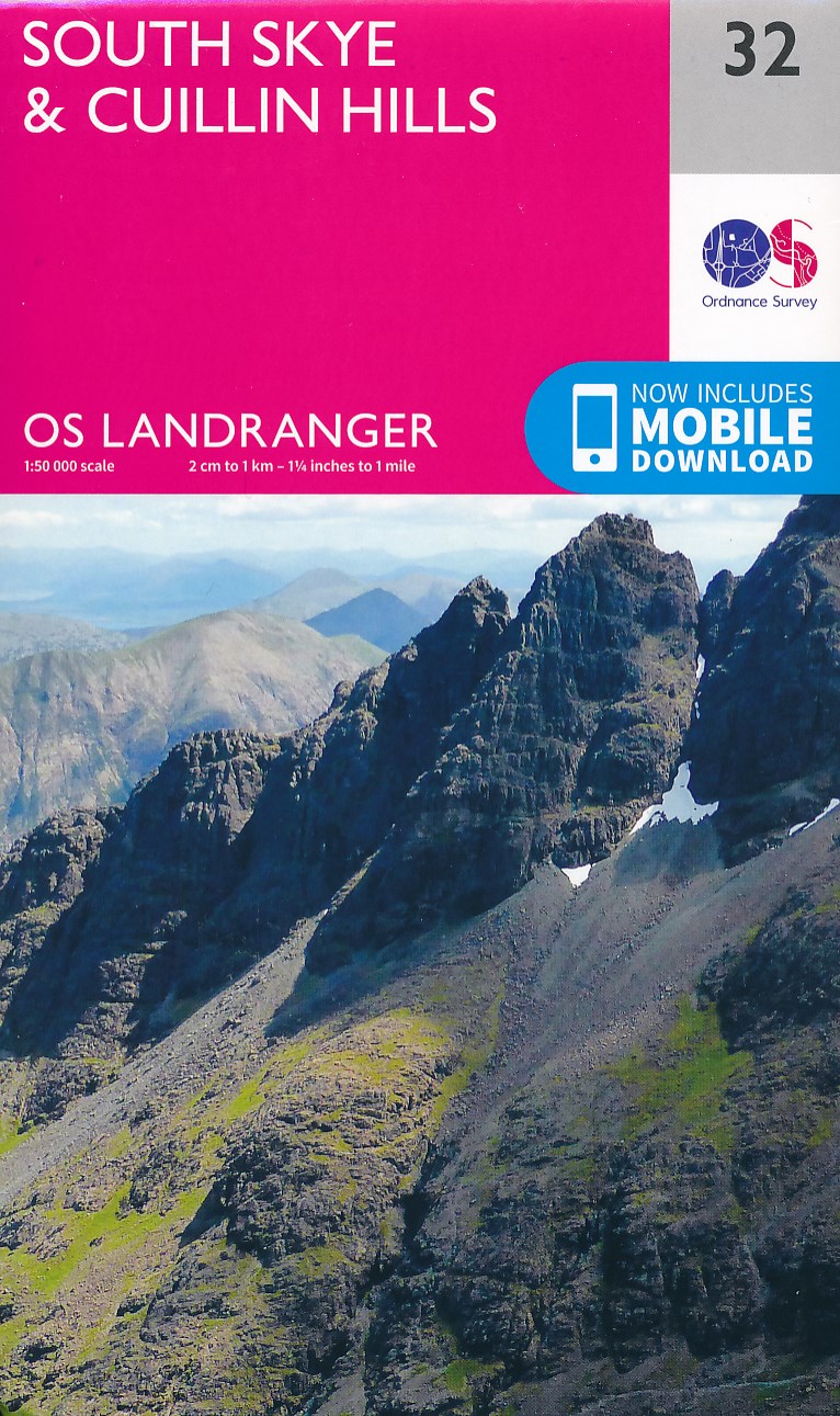
- South Skye & Cuillin Hills OS Landranger Map 32 (paper)
- Paper version of map No. 32 from the Ordnance Survey’s Landranger series at 1:50,000, with contoured and GPS compatible topographic mapping plus tourist information.MOBILE DOWNLOADS: As well as the physical edition of the map, each Landranger title now includes a code for downloading after purchase its digital version onto your smartphone or... Read more
- Also available from:
- The Book Depository, United Kingdom
- De Zwerver, Netherlands

De Zwerver
Netherlands
Netherlands

Stanfords
United Kingdom
United Kingdom
- Skye Scrambles
- This is the 2011 fully updated and enlarged, colour edition of the very popular SMC guide ”Skye Scrambles”, first published in 2000. The guide describes not only scrambles, but also walks and some easier rock climbs. It is the definitive guidebook to scrambling on Skye and as such it is also an essential guide for any hillwalkers wishing to... Read more
- Also available from:
- The Book Depository, United Kingdom

The Book Depository
United Kingdom
United Kingdom
- Skye Scrambles
- Scottish Mountaineering Club Scramblers' Guide Read more

Stanfords
United Kingdom
United Kingdom
- South Skye & Cuillin Hills OS Landranger Active Map 32 (waterproof)
- Waterproof and tear-resistant OS Active version of map No. 32 from the Ordnance Survey’s Landranger series at 1:50,000, with contoured and GPS compatible topographic mapping plus tourist information.MOBILE DOWNLOADS: As well as the physical edition of the map, each Landranger title now includes a code for downloading after purchase its digital... Read more
- Also available from:
- The Book Depository, United Kingdom

Bol.com
Netherlands
2016
Netherlands
2016
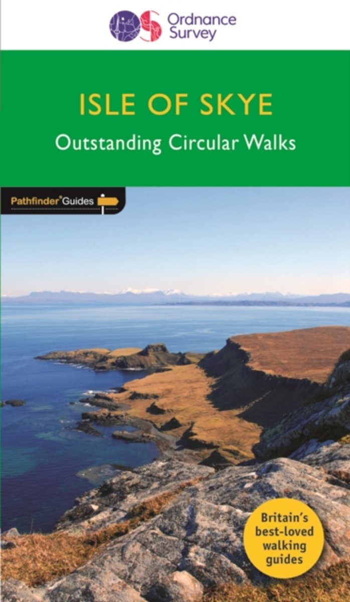
- Isle of Skye
- Are you planning a visit to the Isle of Skye? Do you enjoy a walk in the country or a leisurely afternoon stroll? Britain's best loved walking guides brings you a brand new Pathfinder(R) Guide to the Isle of Skye containing 28 fabulous walks exploring the rugged and romantic beauty of this celebrated and most famous Scottish island. The walks... Read more
- Also available from:
- Bol.com, Belgium
Bol.com
Belgium
2016
Belgium
2016
- Isle of Skye
- Are you planning a visit to the Isle of Skye? Do you enjoy a walk in the country or a leisurely afternoon stroll? Britain's best loved walking guides brings you a brand new Pathfinder(R) Guide to the Isle of Skye containing 28 fabulous walks exploring the rugged and romantic beauty of this celebrated and most famous Scottish island. The walks... Read more
Maps

Stanfords
United Kingdom
United Kingdom
- The Munros - The Complete Collection of Maps
- In this unique and colourful volume, the deep fascination of the Munros is revealed through Harvey`s beautiful and intricate mapping. From the far reaches of Ben Hope to the mysterious Lochnagar, from the extraordinary complexity of the Cuillin Ridge of Skye to the remate A`Mhaighdean, the fearsome ridges of Liathach and the gaunt towering... Read more

Stanfords
United Kingdom
2019
United Kingdom
2019
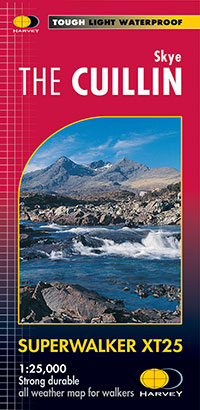
- The Cuillin - Skye Harvey Superwalker XT25
- The Cuillin mountains on Skye at 1:25,000 on a light, waterproof and tear-resistant map from Harvey Map Services, with an enlargement showing the Black Cuillin Ridge in greater detail at 1:12,500. On one side a map at 1:25,000 presents an area as indicated on our coverage image. Additional overprint highlights the course of the Sky Trail... Read more
- Also available from:
- The Book Depository, United Kingdom
- De Zwerver, Netherlands

The Book Depository
United Kingdom
2019
United Kingdom
2019
- Skye the Cuillin
- The Cuillin mountains on Skye at 1:25,000 on a light, waterproof and tear-resistant map from Harvey Map Services, with an enlargement showing the Black Cuillin Ridge in greater detail at 1:12,500. On one side a map at 1:25,000 presents an area as indicated on our coverage image. Additional overprint highlights the course of the Sky Trail... Read more
De Zwerver
Netherlands
2019
Netherlands
2019
- Wandelkaart Skye The Cuillin | Harvey Maps
- The Cuillin mountains on Skye at 1:25,000 on a light, waterproof and tear-resistant map from Harvey Map Services, with an enlargement showing the Black Cuillin Ridge in greater detail at 1:12,500. On one side a map at 1:25,000 presents an area as indicated on our coverage image. Additional overprint highlights the course of the Sky Trail... Read more

Stanfords
United Kingdom
United Kingdom
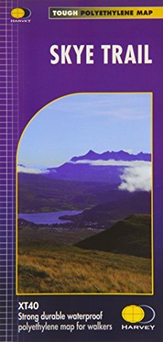
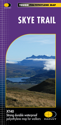
- Skye Trail Harvey National Trail XT40
- The Skye Trail - an unofficial 134 kms / 83 miles long-distance route along the island’s eastern coast, suitable only for experienced hillwalkers - presented at 1:40,000 on light waterproof and tear-resistant, contoured and GPS compatible map at from Harveys. The trail takes in the Storr, with alternative routes southwards along the coast or... Read more
- Also available from:
- The Book Depository, United Kingdom
- Bol.com, Netherlands
- Bol.com, Belgium
- De Zwerver, Netherlands

The Book Depository
United Kingdom
United Kingdom
- Skye Trail
- Een bijzonder handige kaart van dit lange-afstands-wandelpad. Op waterafstotend papier met veel details. Het enige dat je eigenlijk een beetje mist is een overzicht. Verder uitstekend en voldoende voor de route. The Skye Trail is a challenging unofficial route through the island which is specifically aimed at experienced hillwalkers. The route... Read more
Bol.com
Netherlands
Netherlands
- Skye Trail
- Een bijzonder handige kaart van dit lange-afstands-wandelpad. Op waterafstotend papier met veel details. Het enige dat je eigenlijk een beetje mist is een overzicht. Verder uitstekend en voldoende voor de route. The Skye Trail is a challenging unofficial route through the island which is specifically aimed at experienced hillwalkers. The route... Read more
Bol.com
Belgium
Belgium
- Skye Trail
- Een bijzonder handige kaart van dit lange-afstands-wandelpad. Op waterafstotend papier met veel details. Het enige dat je eigenlijk een beetje mist is een overzicht. Verder uitstekend en voldoende voor de route. The Skye Trail is a challenging unofficial route through the island which is specifically aimed at experienced hillwalkers. The route... Read more
De Zwerver
Netherlands
Netherlands
- Wandelkaart Skye Trail | Harvey Maps
- Een bijzonder handige kaart van dit lange-afstands-wandelpad. Op waterafstotend papier met veel details. Het enige dat je eigenlijk een beetje mist is een overzicht. Verder uitstekend en voldoende voor de route. The Skye Trail is a challenging unofficial route through the island which is specifically aimed at experienced hillwalkers. The route... Read more