
Lands End to John o'Groats
Description
- Name Lands End to John o'Groats
- Length of trail 1,770 km, 1,100 miles
- Length in days 120 days
- Start of trail Lands End
- End of trail John o'Groats
- Traildino grading MW, Moderate walk, backpacking trail
- Hut tour grading T1, Walk
If you ever have time to walk from the south to the north of the United Kingdom (shall we call this Coast to Coast ;-)), there are some people who did this before and can help you out. This stroll is usually referred to as LE-JOG, aka Lands End to John o'Groats. You are pretty free to choose your own itinerary, and of course share your choice with other people in-between-jobs or whatever.
Select some tracks
Links
Facts
Reports
Guides and maps
Lodging
Organisations
Tour operators
GPS
Other
Books
- Also available from:
- De Zwerver, Netherlands
De Zwerver
Netherlands
2021
Netherlands
2021

Stanfords
United Kingdom
United Kingdom
- South Cornwall Coast: Land`s End to Plymouth - Circular Walks along the South West Coast Path
- With clear information, an overview and introduction for each walk, expertly written numbered directions, large scale Ordnance Survey maps, superb eye-grabbing panoramic photographs, and interpretation of points of interest along the way, these guides set a new standard in clarity and ease-of-use.Featured walks along the South Cornwall Coast... Read more
- Also available from:
- The Book Depository, United Kingdom

The Book Depository
United Kingdom
United Kingdom
- South Cornwall Coast
- Land's End to Plymouth - Circular Walks along the South West Coast Path Read more


Stanfords
United Kingdom
United Kingdom
- North Cornwall Coast: Bude to Land`s End - Circular Walks along the South West Coast Path
- These attractive and cleverly structured guides will give walkers ten of the best short circular walks along each of the five sections of the 630-mile long South West Coast Path in a popular pocket-size format.With clear information, an overview and introduction for each walk, expertly written numbered directions, large scale Ordnance Survey... Read more
- Also available from:
- The Book Depository, United Kingdom

The Book Depository
United Kingdom
United Kingdom
- North Cornwall Coast
- Bude to Land's End - Circular Walks along the South West Coast Path Read more

- Also available from:
- De Zwerver, Netherlands

- Also available from:
- De Zwerver, Netherlands
De Zwerver
Netherlands
Netherlands

The Book Depository
United Kingdom
United Kingdom
- West Cornwall: Land's End Guidebook
- Penzance, Lamorna, Porthcurno, Zennor, St Ives Read more

Bol.com
Netherlands
Netherlands
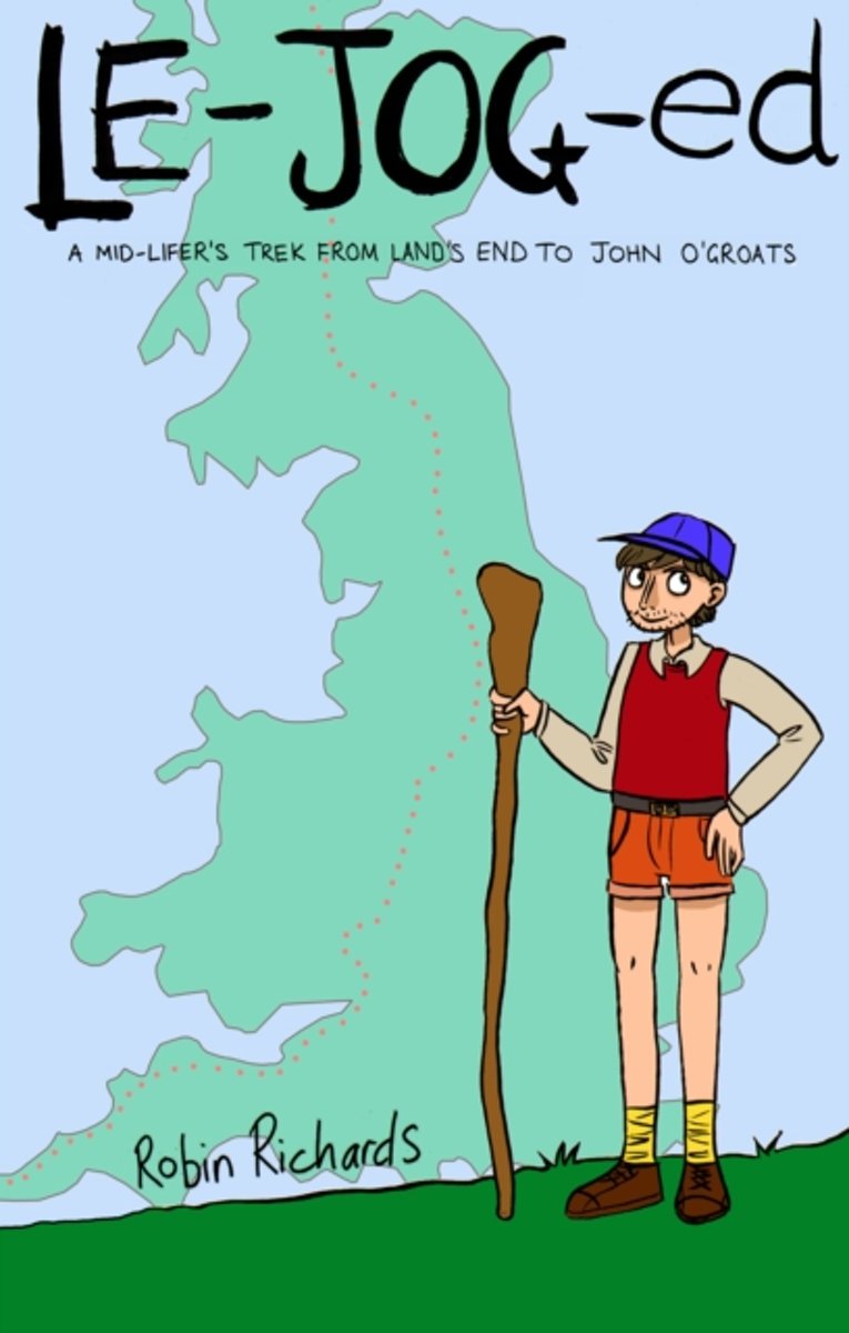
- LE-JOG-ed
- The longest walk you can do in Britain, without doubling back on yourself, is Land's End to John O'Groats. And so on a misty, drizzly and frankly uninspiring morning Robin Richards stepped off the bus at Land's End with his boots blacked and his rucksack ready. It was day sixteen of his redundancy. Robin Richards faced mid-life and redundancy... Read more
- Also available from:
- Bol.com, Belgium
Bol.com
Belgium
Belgium
- LE-JOG-ed
- The longest walk you can do in Britain, without doubling back on yourself, is Land's End to John O'Groats. And so on a misty, drizzly and frankly uninspiring morning Robin Richards stepped off the bus at Land's End with his boots blacked and his rucksack ready. It was day sixteen of his redundancy. Robin Richards faced mid-life and redundancy... Read more
Bol.com
Netherlands
Netherlands
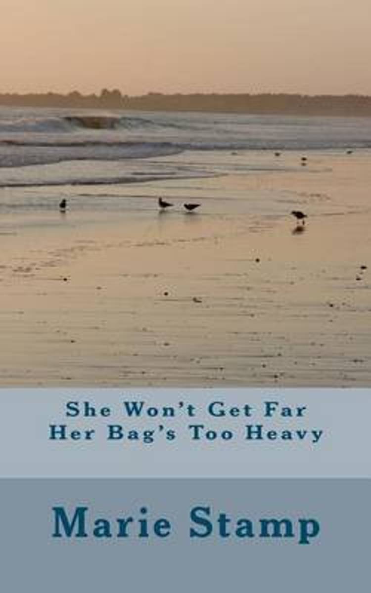
- She Won't Get Far Her Bag's Too Heavy
- SHE WON'T GET FAR HER BAG'S TOO HEAVYAuthor Marie StampA story about a woman and her dog starting out on a walk on the South West Coast Pathin 2010 with the intention of walking from Minehead to Land's End. Her dog carrying his ownbaggage and she carrying a huge rucksack full of things that give her self sufficiency. Sportingshin splints, she... Read more
- Also available from:
- Bol.com, Belgium
Bol.com
Belgium
Belgium
- She Won't Get Far Her Bag's Too Heavy
- SHE WON'T GET FAR HER BAG'S TOO HEAVYAuthor Marie StampA story about a woman and her dog starting out on a walk on the South West Coast Pathin 2010 with the intention of walking from Minehead to Land's End. Her dog carrying his ownbaggage and she carrying a huge rucksack full of things that give her self sufficiency. Sportingshin splints, she... Read more
Bol.com
Netherlands
Netherlands
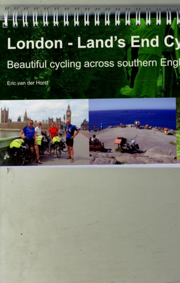
- London - Land's End Cycle Route
- This king of guidebooks takes you onto a unique trail of traffic-calmed cycle routes in southern England from London to Land's End; ideal if you love cycling, but don't like traffic! A variety of landscapes, a high density of famous English landmarks and word-class cycle routes like the Bristol and Bath Railway Path, Camel Trail, Devon Coast to... Read more
- Also available from:
- Bol.com, Belgium
Bol.com
Belgium
Belgium
- London - Land's End Cycle Route
- This king of guidebooks takes you onto a unique trail of traffic-calmed cycle routes in southern England from London to Land's End; ideal if you love cycling, but don't like traffic! A variety of landscapes, a high density of famous English landmarks and word-class cycle routes like the Bristol and Bath Railway Path, Camel Trail, Devon Coast to... Read more

Stanfords
United Kingdom
2018
United Kingdom
2018
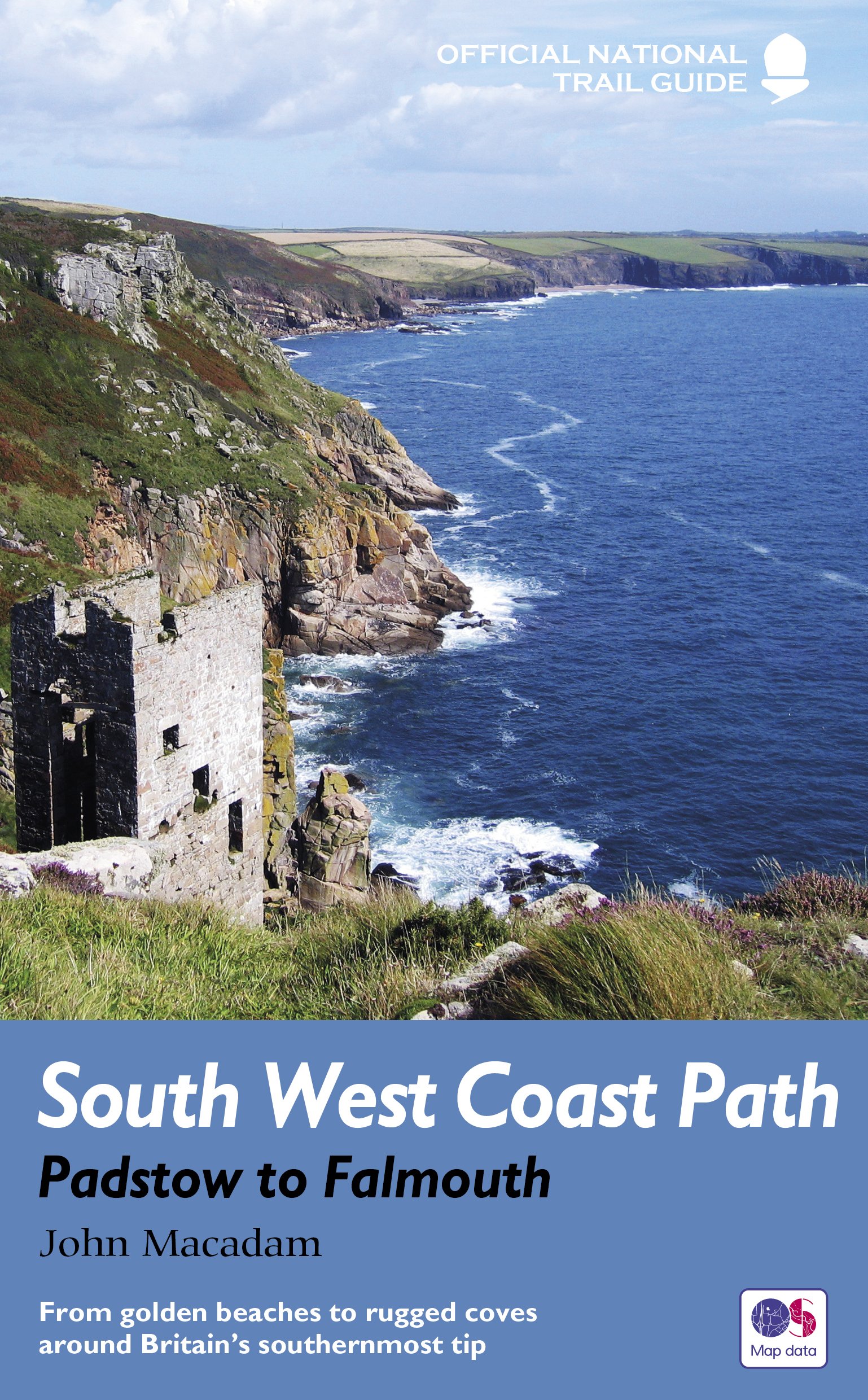
- South West Coast Path - Padstow to Falmouth
- The South West Coast Path is the longest of Britain’s National Trails, following the spectacular coastline for 630 miles around the southernmost tip of England from Somerset all the way to Dorset.This volume of the Official National Trail Guide, published in association with Natural England, features the second section of 169 miles (271 km),... Read more
- Also available from:
- The Book Depository, United Kingdom
- Bol.com, Netherlands
- Bol.com, Belgium
- De Zwerver, Netherlands

The Book Depository
United Kingdom
2018
United Kingdom
2018
- South West Coast Path: Padstow to Falmouth
- From golden beaches to rugged coves around Britain's southernmost tip Read more

Bol.com
Netherlands
2018
Netherlands
2018
- South West Coast Path
- The South West Coast Path is the longest of Britain's National Trails, following the spectacular coastline for 630 miles around the southernmost tip of England from Somerset all the way to Dorset. This volume of the Official National Trail Guide, published in association with Natural England, features the second section of 169 miles (271 km),... Read more
Bol.com
Belgium
2018
Belgium
2018
- South West Coast Path
- The South West Coast Path is the longest of Britain's National Trails, following the spectacular coastline for 630 miles around the southernmost tip of England from Somerset all the way to Dorset. This volume of the Official National Trail Guide, published in association with Natural England, features the second section of 169 miles (271 km),... Read more
De Zwerver
Netherlands
2018
Netherlands
2018
- Wandelgids 9 The South West Coast Path National Trail Guide | Aurum Press
- Padstow to Falmouth: National Trail Guide Read more
Bol.com
Netherlands
Netherlands
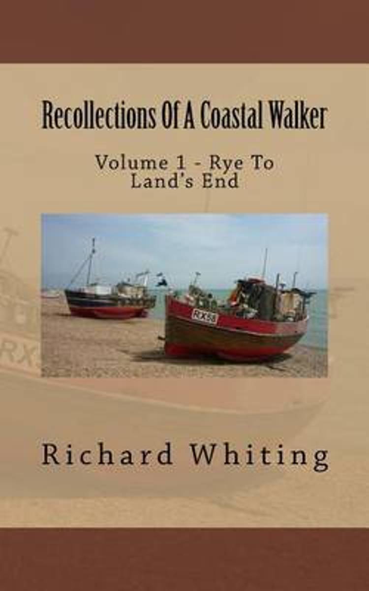
- Recollections of a Coastal Walker
- This book is the first volume of a series of books to be published describing my walk around the coast of mainland Britain. It is a selection of my personal thoughts, recollections and reminiscences about my walk. It also includes a selection of historical facts and interesting anecdotes about the places I visited. This first volume covers my... Read more
- Also available from:
- Bol.com, Belgium
Bol.com
Belgium
Belgium
- Recollections of a Coastal Walker
- This book is the first volume of a series of books to be published describing my walk around the coast of mainland Britain. It is a selection of my personal thoughts, recollections and reminiscences about my walk. It also includes a selection of historical facts and interesting anecdotes about the places I visited. This first volume covers my... Read more

Stanfords
United Kingdom
2018
United Kingdom
2018
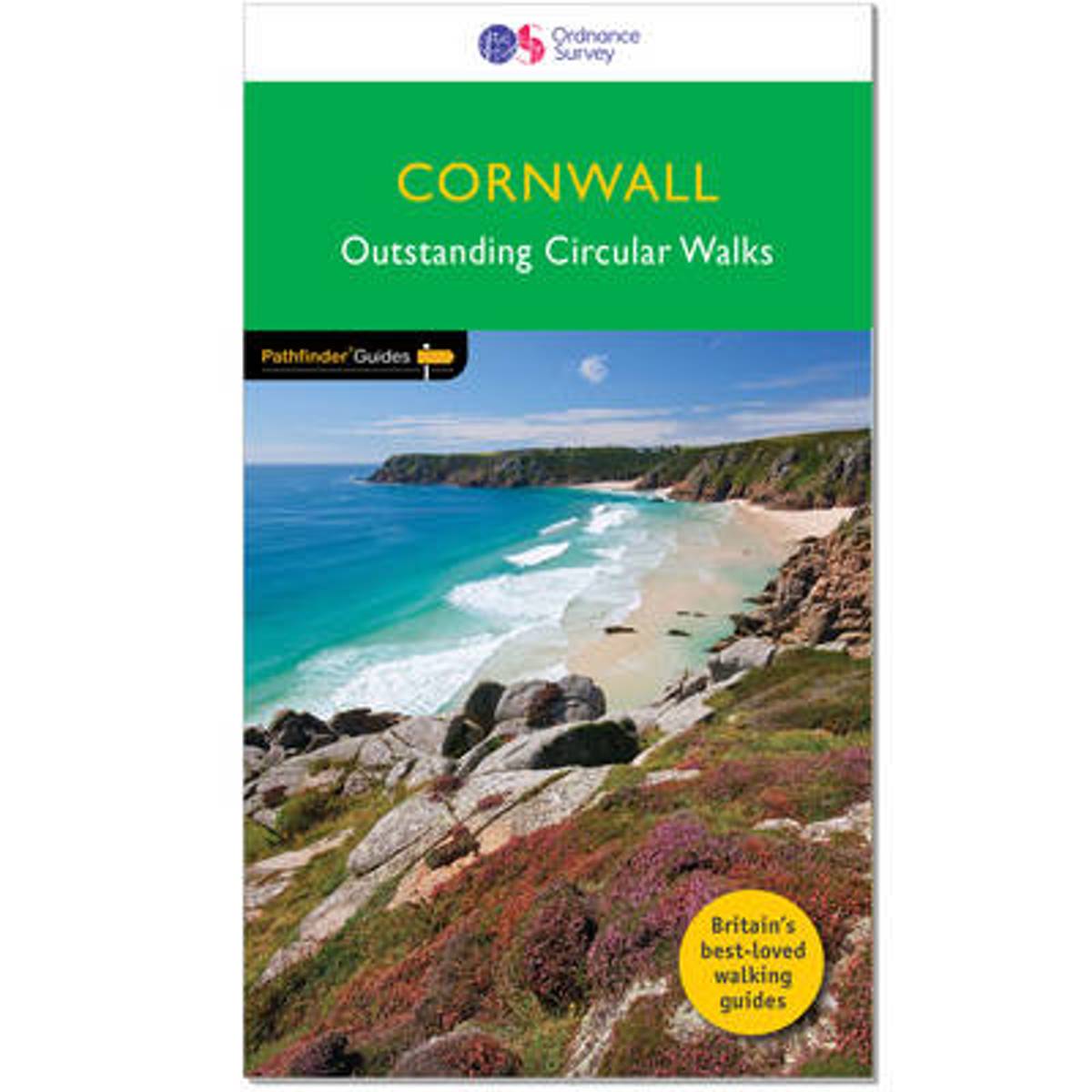
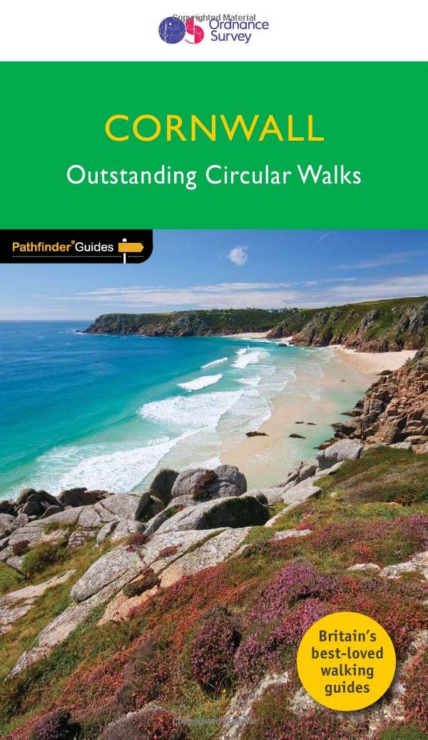
- Cornwall Outstanding Circular Walks
- Pathfinder(R) Cornwall covering Land`s End, Prussia Cove and Bodmin Moor. This selection offers interest, regional variety and balance of routes in Cornwall providing the best walks in the area. From an easy stroll along Falmouth Bay to the much more challenging walks along Looe Bar this volume contains something for everyone. Covering walks... Read more
- Also available from:
- The Book Depository, United Kingdom
- Bol.com, Netherlands
- Bol.com, Belgium
- De Zwerver, Netherlands

Bol.com
Netherlands
2018
Netherlands
2018
- Cornwall
- Pathfinder(R) Cornwall covering Land's End, Prussia Cove and Bodmin Moor. This selection offers interest, regional variety and balance of routes in Cornwall providing the best walks in the area. From an easy stroll along Falmouth Bay to the much more challenging walks along Looe Bar this volume contains something for everyone. Covering walks... Read more
Bol.com
Belgium
2018
Belgium
2018
- Cornwall
- Pathfinder(R) Cornwall covering Land's End, Prussia Cove and Bodmin Moor. This selection offers interest, regional variety and balance of routes in Cornwall providing the best walks in the area. From an easy stroll along Falmouth Bay to the much more challenging walks along Looe Bar this volume contains something for everyone. Covering walks... Read more
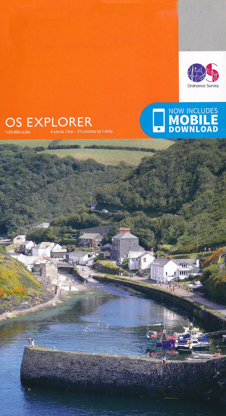
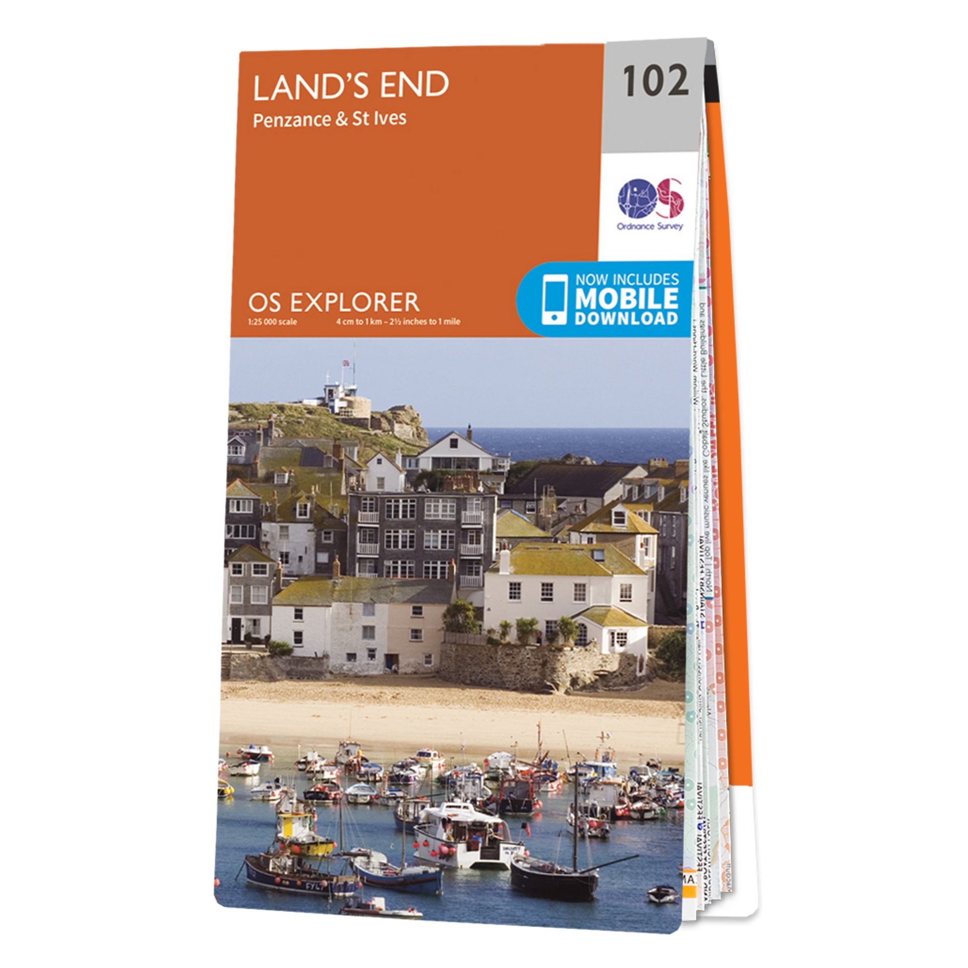
Maps

Stanfords
United Kingdom
United Kingdom
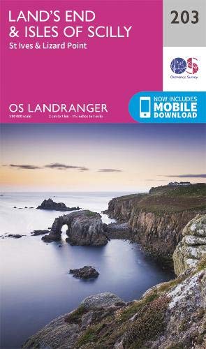
- Land`s End and Isles of Scilly 1919
- Map No. 203, Land`s End and Isles of Scilly 1919, in the Cassini Historical Series of old Ordnance Survey mapping of England and Wales at 1:50,000 in a format designed to offer a convenient comparison with the present day coverage from the OS, and most locations in three different editions. Old historical maps have been combined so that the... Read more
Stanfords
United Kingdom
United Kingdom
- Land`s End and Isles of Scilly 1900
- Map No. 203, Land`s End and Isles of Scilly 1900, in the Cassini Historical Series of old Ordnance Survey mapping of England and Wales at 1:50,000 in a format designed to offer a convenient comparison with the present day coverage from the OS, and most locations in three different editions. Old historical maps have been combined so that the... Read more
Stanfords
United Kingdom
United Kingdom
- Land`s End and Isles of Scilly 1813-1919 (3-map set)
- Map No. 203, Land`s End and Isles of Scilly 1813-1919 (3-map set), in the Cassini Historical Series of old Ordnance Survey mapping of England and Wales at 1:50,000 in a format designed to offer a convenient comparison with the present day coverage from the OS, and most locations in three different editions. Old historical maps have been... Read more
Stanfords
United Kingdom
United Kingdom
- Land`s End and Isles of Scilly 1813
- Map No. 203, Land`s End and Isles of Scilly 1813, in the Cassini Historical Series of old Ordnance Survey mapping of England and Wales at 1:50,000 in a format designed to offer a convenient comparison with the present day coverage from the OS, and most locations in three different editions. Old historical maps have been combined so that the... Read more