
Canadian Rockies
Description
The Canadian segment of the North American Rocky Mountains range, the eastern part of the Canadian Cordillera.
Trails in this region
Links
Facts
Reports
Guides and maps
Lodging
Organisations
Tour operators
GPS
Other
Books

Stanfords
United Kingdom
United Kingdom
- Kootenay National Park Gem Trek Map
- Kootenay National Park in the Canadian Rockies at 1:100,000 on a contoured and GPS compatible, waterproof and tear-resistant map from Gem Trek Publishing, highlighting hiking trails, recreational areas, accommodation options, etc, plus on the reverse extensive tourist information including descriptions of recommended routes.The map provides a... Read more

Stanfords
United Kingdom
United Kingdom
- Best of Canmore Gem Trek
- Best of Camnore, a contoured and GPS compatible, waterproof and tear-resistant map/guide at 1:35,000 from Gem Trek, designed for people who are only going to be in Camnore for one to three days and want to know the highlights. On one side is a detailed, relief-shaded topographic map of the Canmore area, covering Canmore Nordic Centre Provincial... Read more


Bol.com
Netherlands
Netherlands
- Souvenir of the Canadian Rockies
- In celebration of the 150th anniversary of Canadian Confederation and in conjunction with Parks Canadas announcement that entrance to all of Canadas national parks, national historic sites and national marine conservation areas will be free throughout 2017, RMB is excited to launch an entirely new series of photography books created and... Read more
- Also available from:
- Bol.com, Belgium
Bol.com
Belgium
Belgium
- Souvenir of the Canadian Rockies
- In celebration of the 150th anniversary of Canadian Confederation and in conjunction with Parks Canadas announcement that entrance to all of Canadas national parks, national historic sites and national marine conservation areas will be free throughout 2017, RMB is excited to launch an entirely new series of photography books created and... Read more
De Zwerver
Netherlands
2023
Netherlands
2023
Bol.com
Netherlands
2017
Netherlands
2017
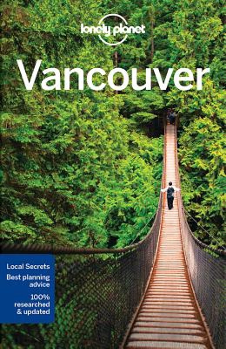
- Lonely Planet Vancouver
- Lonely Planet: The world's leading travel guide publisher Lonely Planet Vancouver is your passport to the most relevant, up-to-date advice on what to see and skip, and what hidden discoveries await you. Shop for vintage shoes in quirky Gastown, hit the powdered slopes of Grouse Mountain or sample an Indian Pale Ale in a hidden microbrewery; all... Read more
- Also available from:
- Bol.com, Belgium
Bol.com
Belgium
2017
Belgium
2017
- Lonely Planet Vancouver
- Lonely Planet: The world's leading travel guide publisher Lonely Planet Vancouver is your passport to the most relevant, up-to-date advice on what to see and skip, and what hidden discoveries await you. Shop for vintage shoes in quirky Gastown, hit the powdered slopes of Grouse Mountain or sample an Indian Pale Ale in a hidden microbrewery; all... Read more
Bol.com
Netherlands
Netherlands
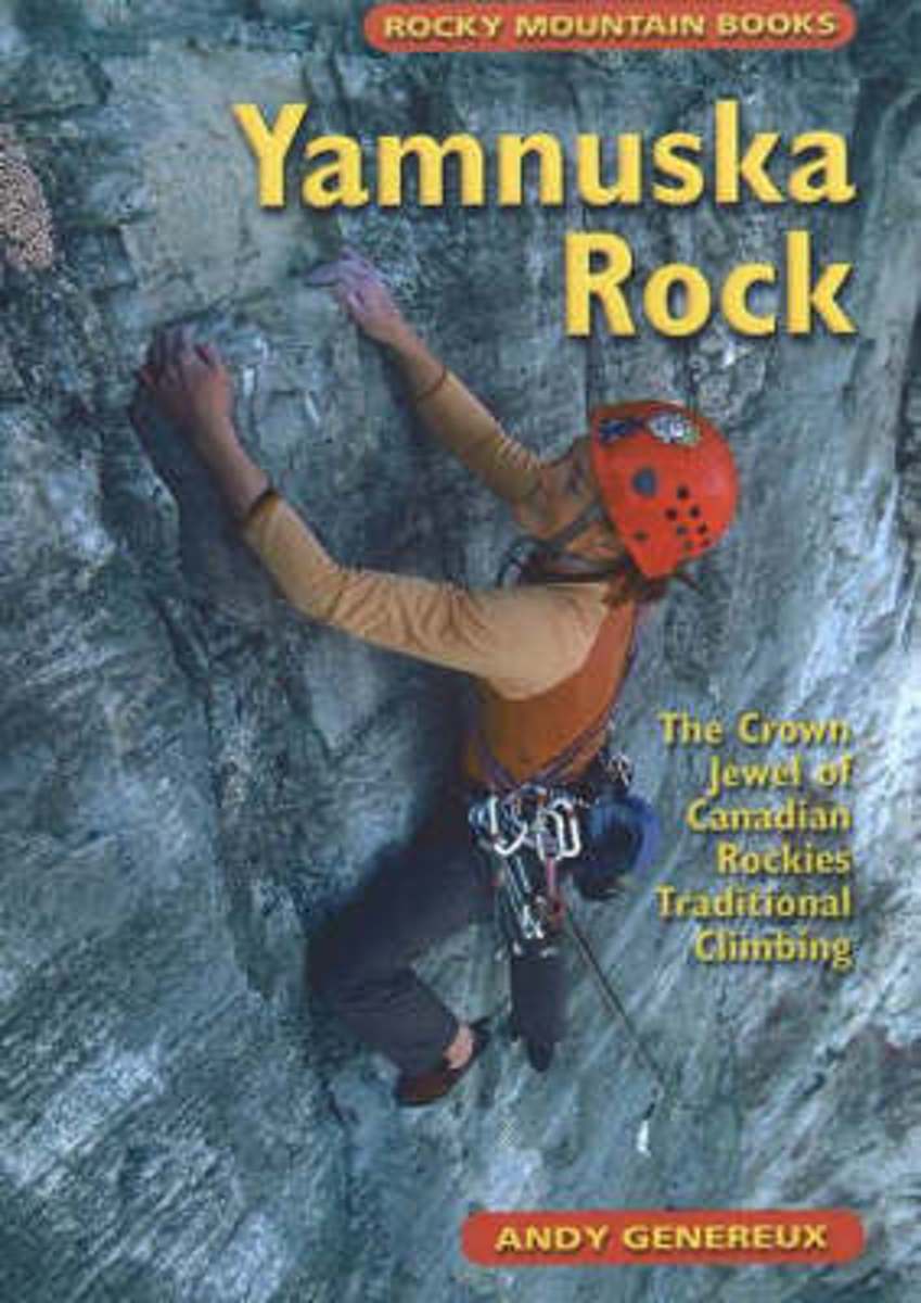
- Yamnuska Rock
- Canadian rock climbing was born on the big flat face of Yamnuska. For more than 50 years aspiring youth and grizzled veterans have been putting up new routes on the south-facing slab that faces the sun and attracts climbers every month of the year. In the first-ever climbing guide to the Yam, you will find 115 routes described in detail and... Read more
- Also available from:
- Bol.com, Belgium
Bol.com
Belgium
Belgium
- Yamnuska Rock
- Canadian rock climbing was born on the big flat face of Yamnuska. For more than 50 years aspiring youth and grizzled veterans have been putting up new routes on the south-facing slab that faces the sun and attracts climbers every month of the year. In the first-ever climbing guide to the Yam, you will find 115 routes described in detail and... Read more
Bol.com
Netherlands
Netherlands
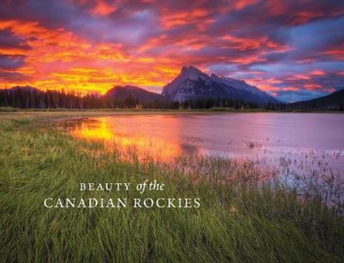
- Beauty of the Canadian Rockies
- In celebration of the 150th anniversary of Canadian Confederation and in conjunction with Parks Canadas announcement that entrance to all of Canadas national parks, national historic sites and national marine conservation areas will be free throughout 2017, RMB is excited to launch an entirely new series of photography books created and... Read more
- Also available from:
- Bol.com, Belgium
Bol.com
Belgium
Belgium
- Beauty of the Canadian Rockies
- In celebration of the 150th anniversary of Canadian Confederation and in conjunction with Parks Canadas announcement that entrance to all of Canadas national parks, national historic sites and national marine conservation areas will be free throughout 2017, RMB is excited to launch an entirely new series of photography books created and... Read more
Bol.com
Netherlands
Netherlands
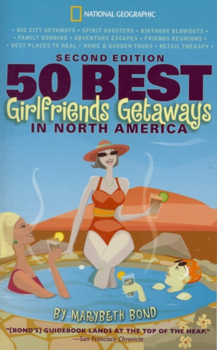
- 50 Best Girlfriends Getaways in North America, 2nd Edition
- Ten information-packed chapters make up this engaging guide to womens travel for the growing number of women?young, old, single, married, divorced, and widowed?who are hitting the road. The guide covers everything from fabulous birthday getaways to the best places to heal, shop, and bond with friends and family. The trip choices range widely... Read more
- Also available from:
- Bol.com, Belgium
Bol.com
Belgium
Belgium
- 50 Best Girlfriends Getaways in North America, 2nd Edition
- Ten information-packed chapters make up this engaging guide to womens travel for the growing number of women?young, old, single, married, divorced, and widowed?who are hitting the road. The guide covers everything from fabulous birthday getaways to the best places to heal, shop, and bond with friends and family. The trip choices range widely... Read more
De Zwerver
Netherlands
2015
Netherlands
2015
Bol.com
Netherlands
Netherlands
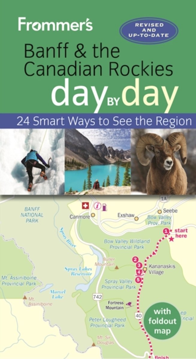
- Frommer's Banff and the Canadian Rockies day by day
- Banff National Park, in the Canadian Rockies, receives nearly six million visitors a year. It is the most heavily-visited national park in Canada, and rightly so - it's filled with ravishing sights. Packed with color photos, this bestselling guide offers itineraries that show you how to see the best of Banff and the Canadian Rockies in a short... Read more
- Also available from:
- Bol.com, Belgium
Bol.com
Belgium
Belgium
- Frommer's Banff and the Canadian Rockies day by day
- Banff National Park, in the Canadian Rockies, receives nearly six million visitors a year. It is the most heavily-visited national park in Canada, and rightly so - it's filled with ravishing sights. Packed with color photos, this bestselling guide offers itineraries that show you how to see the best of Banff and the Canadian Rockies in a short... Read more

Bol.com
Netherlands
Netherlands
- Scamper Dogs
- These true tales about the love of life in dogs with disabilities/disease are nothing short of awe-inspiring. With stunned amazement, Randall Roberts watched his dog Scamper - a blind, allergic, cancer-ridden stray - doggedly face her disabilities by hiking blind in the Canadian Rockies after receiving chemo and radiation therapy. Randall said,... Read more
- Also available from:
- Bol.com, Belgium
Bol.com
Belgium
Belgium
- Scamper Dogs
- These true tales about the love of life in dogs with disabilities/disease are nothing short of awe-inspiring. With stunned amazement, Randall Roberts watched his dog Scamper - a blind, allergic, cancer-ridden stray - doggedly face her disabilities by hiking blind in the Canadian Rockies after receiving chemo and radiation therapy. Randall said,... Read more

The Book Depository
United Kingdom
United Kingdom
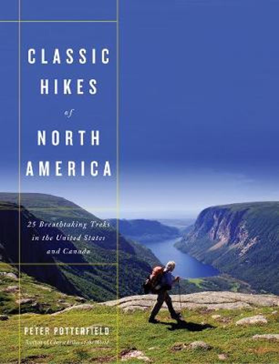
- Classic Hikes of North America
- 25 Breathtaking Treks in the United States and Canada Read more
- Also available from:
- Bol.com, Netherlands
- Bol.com, Belgium
Bol.com
Netherlands
Netherlands
- Classic Hikes of North America
- Classic Hikes of North America is a beautifully photographed and eminently practical account of the best backcountry journeys in the United States and Canada. Peter Potterfield, an experienced hiker and photographer, has analyzed and graded these spectacular wilderness experiences with both beginners and avid hikers in mind. Included in the... Read more
Bol.com
Belgium
Belgium
- Classic Hikes of North America
- Classic Hikes of North America is a beautifully photographed and eminently practical account of the best backcountry journeys in the United States and Canada. Peter Potterfield, an experienced hiker and photographer, has analyzed and graded these spectacular wilderness experiences with both beginners and avid hikers in mind. Included in the... Read more
Bol.com
Netherlands
2017
Netherlands
2017
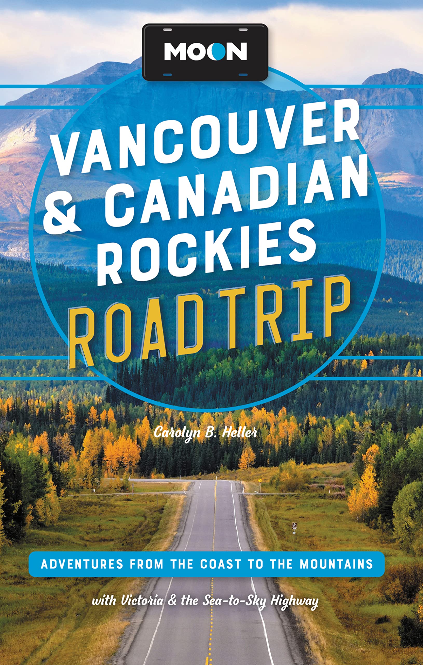
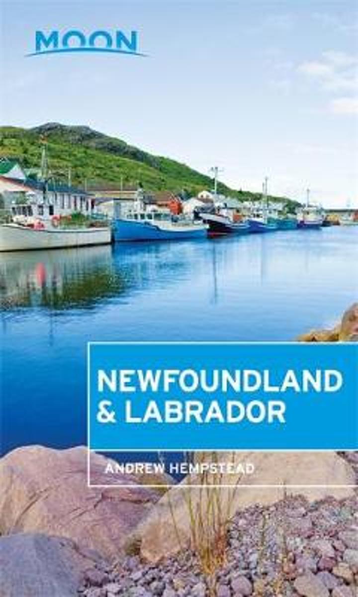
- Moon Newfoundland & Labrador
- **Make Your Escape with Moon Travel Guides!Immerse yourself in the beauty and adventure of these island provinces with Moon Newfoundland & Labrador.**Strategic itineraries in an easy-to-navigate format covering the two-week Best of Newfoundland and LabradorCurated advice from local Andrew Hempstead, who shares the secrets of his beloved islands... Read more
- Also available from:
- Bol.com, Belgium
Bol.com
Belgium
2017
Belgium
2017
- Moon Newfoundland & Labrador
- **Make Your Escape with Moon Travel Guides!Immerse yourself in the beauty and adventure of these island provinces with Moon Newfoundland & Labrador.**Strategic itineraries in an easy-to-navigate format covering the two-week Best of Newfoundland and LabradorCurated advice from local Andrew Hempstead, who shares the secrets of his beloved islands... Read more
Maps

Stanfords
United Kingdom
United Kingdom
- Banff - Egypt Lake Gem Trek
- Banff - Egypt Lake, a contoured and GPS compatible map at 1:50,000 from Gem Trek of the main hiking area in the Banff National Park, with coverage around Banff itself, including trails eastwards to Lake Minnewanka and Johnson, and extending westwards across the state border to include parts of Kootenay NP and Mt. Assiniboine Provincial Park.... Read more

Stanfords
United Kingdom
United Kingdom
- Revelstoke National Park ITMB
- Revelstoke National Park at 1:50,000 in a series of topographic survey maps of selected areas of British Columbia and the Canadian Rockies from ITMB with cartography from Canada’s national survey organization. Most sheets are printed on light, waterproof and tear- resistant plastic paper.Whilst the Canadian Department of Natural Resources... Read more

Stanfords
United Kingdom
United Kingdom
- Bowron Lakes Canoe Route ITMB
- Bowron Lakes Canoe Route at 1:50,000 in a series of topographic survey maps of selected areas of British Columbia and the Canadian Rockies from ITMB with cartography from Canada’s national survey organization. Most sheets are printed on light, waterproof and tear- resistant plastic paper.Whilst the Canadian Department of Natural Resources... Read more
Stanfords
United Kingdom
United Kingdom
- Tweedsmuir Provincial Park ITMB
- Tweedsmuir Provincial Park at 1:250,000 in a series of topographic survey maps of selected areas of British Columbia and the Canadian Rockies from ITMB with cartography from Canada’s national survey organization. Most sheets are printed on light, waterproof and tear- resistant plastic paper.Whilst the Canadian Department of Natural Resources... Read more

Stanfords
United Kingdom
United Kingdom
- Manning Park - Skagit River ITMB
- Manning Park - Skagit River at 1:50,000 in a series of topographic survey maps of selected areas of British Columbia and the Canadian Rockies from ITMB with cartography from Canada’s national survey organization. Most sheets are printed on light, waterproof and tear- resistant plastic paper.Whilst the Canadian Department of Natural Resources... Read more

Stanfords
United Kingdom
United Kingdom
- Garibaldi Provincial Park ITMB
- Garibaldi Provincial Park at 1:50,000 in a series of topographic survey maps of selected areas of British Columbia and the Canadian Rockies from ITMB with cartography from Canada’s national survey organization. Most sheets are printed on light, waterproof and tear- resistant plastic paper.Whilst the Canadian Department of Natural Resources... Read more
Stanfords
United Kingdom
United Kingdom
- North Vancouver - Port Coquitlam ITMB
- North Vancouver - Port Coquitlam at 1:50,000 in a series of topographic survey maps of selected areas of British Columbia and the Canadian Rockies from ITMB with cartography from Canada’s national survey organization. Most sheets are printed on light, waterproof and tear- resistant plastic paper.Whilst the Canadian Department of Natural... Read more

Stanfords
United Kingdom
United Kingdom
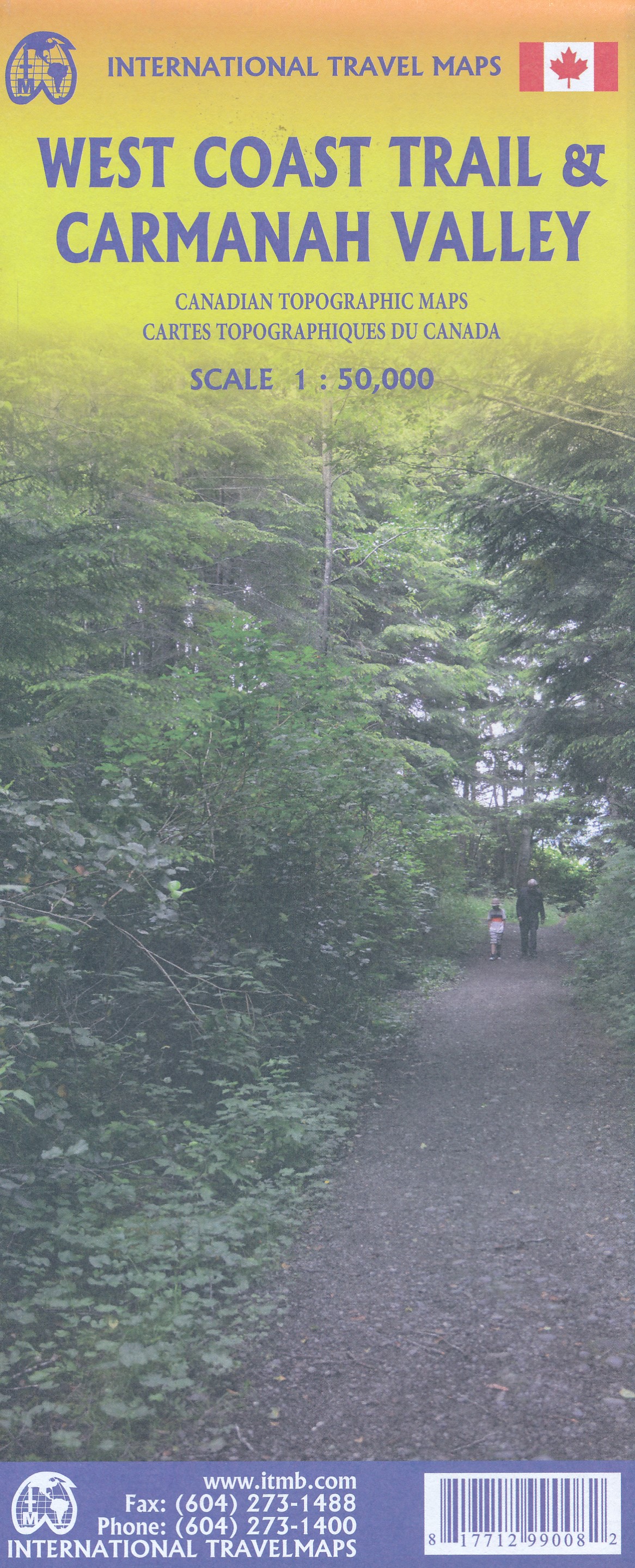
- West Coast Trail & Carmanah Valley ITMB
- West Coast Trail in the Pacific Rim National Park Reserve and the Carmanah Valley in the Carmanah Walbran Provincial Park on the western coast of Vancouver Island at 1:50,000 in a series of topographic survey maps of selected areas of British Columbia and the Canadian Rockies from ITMB with cartography from Canada’s national survey... Read more
- Also available from:
- The Book Depository, United Kingdom
- De Zwerver, Netherlands

The Book Depository
United Kingdom
United Kingdom
- West Coast Trail / Carmanah Valley
- West Coast Trail in the Pacific Rim National Park Reserve and the Carmanah Valley in the Carmanah Walbran Provincial Park on the western coast of Vancouver Island at 1:50,000 in a series of topographic survey maps of selected areas of British Columbia and the Canadian Rockies from ITMB with cartography from Canada’s national survey... Read more
De Zwerver
Netherlands
Netherlands
- Wandelkaart West Coast Trail & Carmanah Valley | ITMB
- West Coast Trail in the Pacific Rim National Park Reserve and the Carmanah Valley in the Carmanah Walbran Provincial Park on the western coast of Vancouver Island at 1:50,000 in a series of topographic survey maps of selected areas of British Columbia and the Canadian Rockies from ITMB with cartography from Canada’s national survey... Read more
Stanfords
United Kingdom
United Kingdom
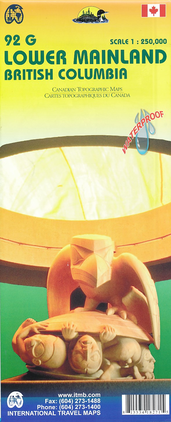
- Lower Mainland - Richmond & New Westminster ITMB
- Lower Mainland - Richmond and New Westminster at 1:250,000 and 1:50,000 in a series of topographic survey maps of selected areas of British Columbia and the Canadian Rockies from ITMB with cartography from Canada’s national survey organization. Most sheets are printed on light, waterproof and tear- resistant plastic paper.Whilst the Canadian... Read more
- Also available from:
- De Zwerver, Netherlands
De Zwerver
Netherlands
Netherlands
- Wegenkaart - landkaart 92G Lower Mainland British Columbia - Richmond and New Westminster | ITMB
- Lower Mainland - Richmond and New Westminster at 1:250,000 and 1:50,000 in a series of topographic survey maps of selected areas of British Columbia and the Canadian Rockies from ITMB with cartography from Canada Read more

Stanfords
United Kingdom
2020
United Kingdom
2020
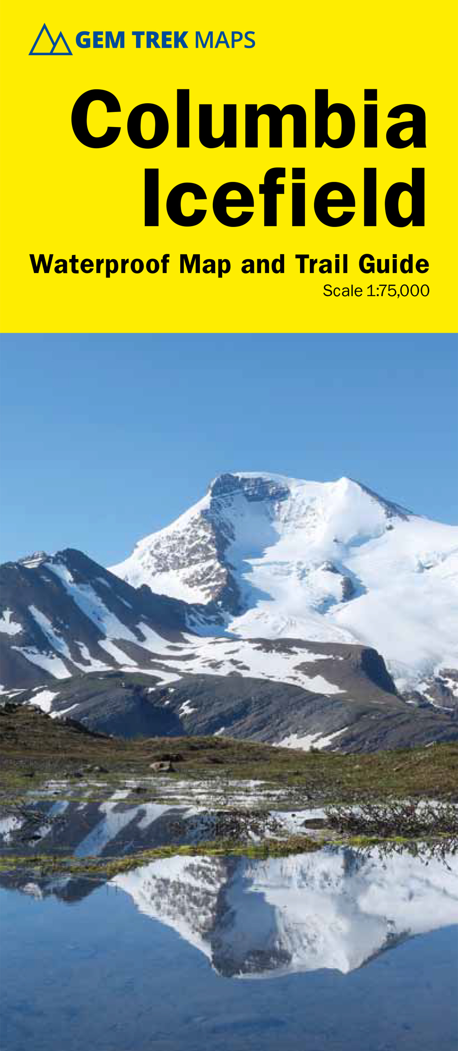
- Columbia Icefield Gem Trek Map
- Columbia Icefield spanning the border between the Banff and the Jasper National Parks in the Canadian Rockies on a contoured and GPS-compatible, waterproof and tear-resistant map at 1:75,000 from Gem Trek, with extensive tourist information including recommended hikes, geology, etc. Coverage extends along both sides of the Icefields Parkway... Read more
- Also available from:
- De Zwerver, Netherlands
De Zwerver
Netherlands
2020
Netherlands
2020
- Wandelkaart 02 Columbia Icefield | Gem Trek Maps
- Columbia Icefield spanning the border between the Banff and the Jasper National Parks in the Canadian Rockies on a contoured and GPS-compatible, waterproof and tear-resistant map at 1:75,000 from Gem Trek, with extensive tourist information including recommended hikes, geology, etc. Coverage extends along both sides of the Icefields Parkway... Read more

Stanfords
United Kingdom
United Kingdom
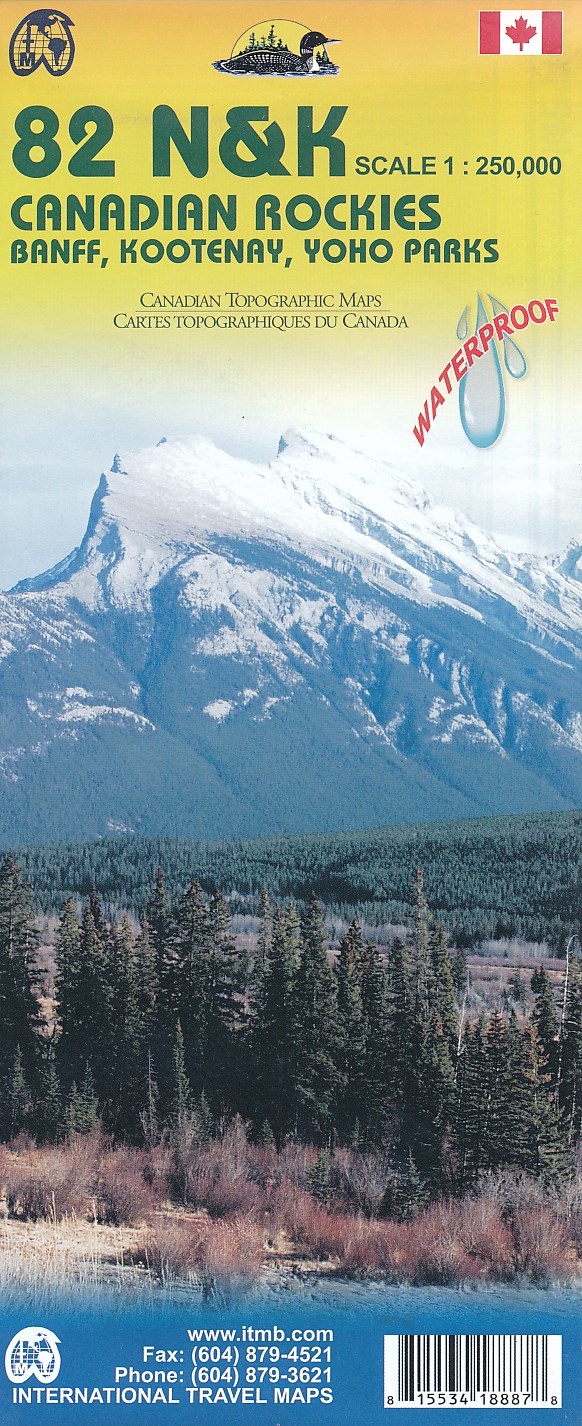
- Canadian Rockies - Banff - Kootenay - Yoho Parks ITMB
- Canadian Rockies: Banff, Kootenay and Yoho National Parks at 1:250,000 in a series of topographic survey maps of selected areas of British Columbia and the Canadian Rockies from ITMB with cartography from Canada’s national survey organization. Most sheets are printed on light, waterproof and tear- resistant plastic paper.Whilst the Canadian... Read more
- Also available from:
- De Zwerver, Netherlands
De Zwerver
Netherlands
Netherlands
- Topografische kaart 82 N&K Canadian Rockies Banff, Kootenay, Yoho Parks | ITMB
- 1:250,000 scale, 1st Edition, 2008 – This is a fabulous map. The artwork consists of four complete Govt. of Canada Topographic maps (82J, K, N, and O) overprinted with hundreds of touristic attractions – camping sites, hiking trails, canoeing areas, wilderness lodges, youth hostels, golf courses – you name it, it's there. Coverage is from... Read more

Stanfords
United Kingdom
United Kingdom
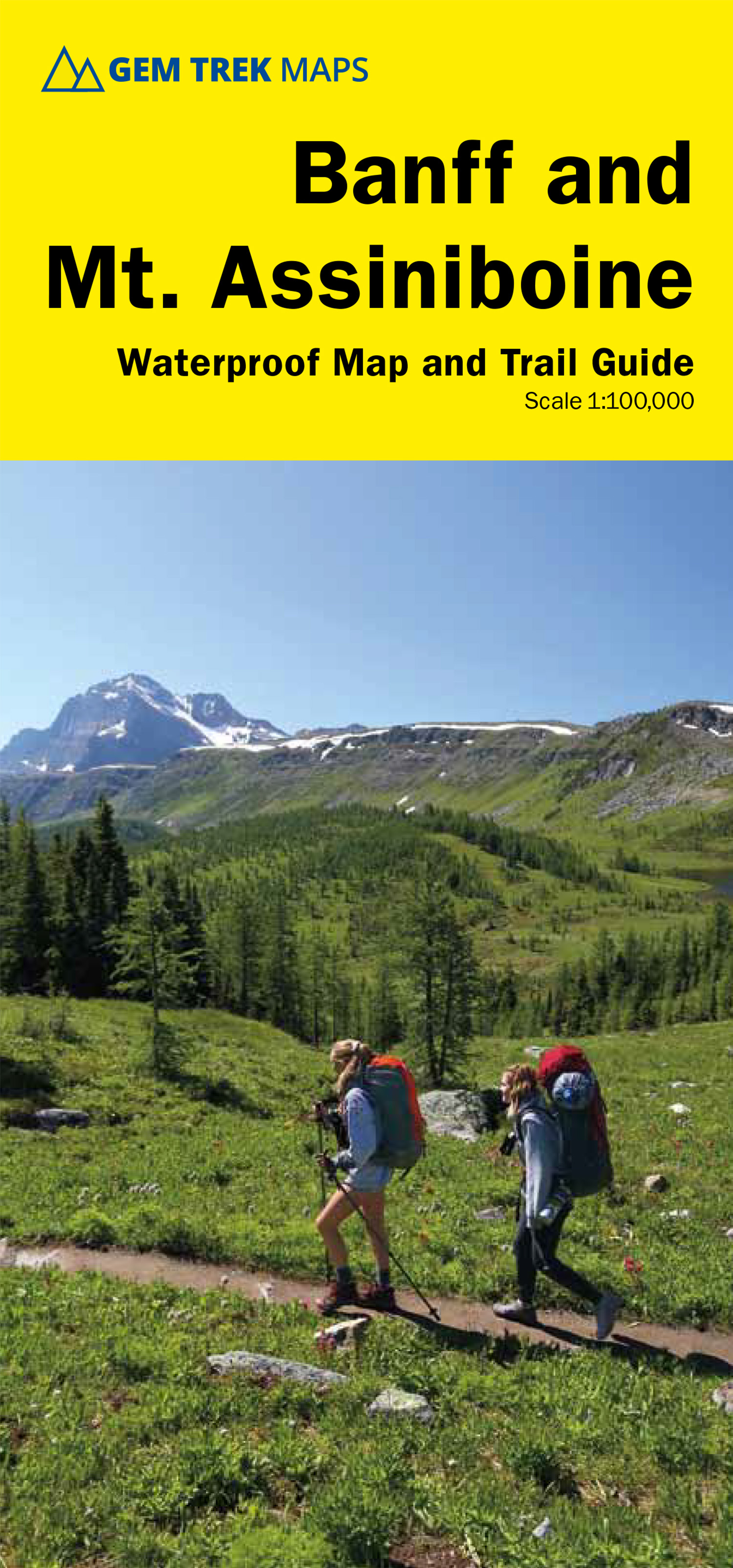
- Banff & Mount Assiniboine Gem Trek
- Banff - Mount Assiniboine area at 1:100,000 on a light, waterproof and tear-resistant map from Gem Trek Publishing in their series of detailed hiking maps of the Canadian Rockies. On the reverse are descriptions of several day hikes and overnight trips, plus plenty of other tourist information.The map covers the most popular hiking and mountain... Read more
- Also available from:
- De Zwerver, Netherlands
De Zwerver
Netherlands
Netherlands
- Wandelkaart 05 Banff National Park and Mt. Assiniboine | Gem Trek Maps
- Banff - Mount Assiniboine area at 1:100,000 on a light, waterproof and tear-resistant map from Gem Trek Publishing in their series of detailed hiking maps of the Canadian Rockies. On the reverse are descriptions of several day hikes and overnight trips, plus plenty of other tourist information.The map covers the most popular hiking and mountain... Read more
Stanfords
United Kingdom
2008
United Kingdom
2008
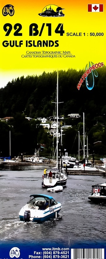
- Gulf Islands - Nanaimo and Islands ITMB
- Gulf Islands - Nanaimo and Islands at 1:50,000 in a series of topographic survey maps of selected areas of British Columbia and the Canadian Rockies from ITMB with cartography from Canada’s national survey organization. Most sheets are printed on light, waterproof and tear- resistant plastic paper.Whilst the Canadian Department of Natural... Read more
- Also available from:
- De Zwerver, Netherlands
De Zwerver
Netherlands
2008
Netherlands
2008
- Wegenkaart - landkaart Gulf Islands & Nanaimo (Canada) | ITMB
- Gulf Islands - Nanaimo and Islands at 1:50,000 in a series of topographic survey maps of selected areas of British Columbia and the Canadian Rockies from ITMB with cartography from Canada Read more

Stanfords
United Kingdom
United Kingdom
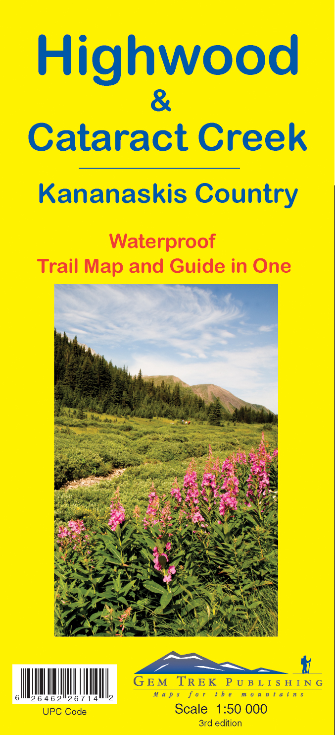
- Highwood & Cataract Creek - Kananaskis Country Gem Trek Map
- Highwood and Cataract Creek area of the Canadian Rockies on a contoured and GPS compatible, waterproof and tear-resistant map at 1:50,000 from Gem Trek with descriptions of recommended trails and other tourist information. On the reverse an inset at 1:50 000 extends the coverage south to take in the trails accessed from Highways 940 and 542,... Read more
- Also available from:
- De Zwerver, Netherlands
De Zwerver
Netherlands
Netherlands
- Wandelkaart 09 Highwood & Cataract Creek | Gem Trek Maps
- Highwood and Cataract Creek area of the Canadian Rockies on a contoured and GPS compatible, waterproof and tear-resistant map at 1:50,000 from Gem Trek with descriptions of recommended trails and other tourist information. On the reverse an inset at 1:50 000 extends the coverage south to take in the trails accessed from Highways 940 and 542,... Read more