
San Isabel National Forest
Description
Trails in this region
Links
Facts
Reports
Guides and maps
Lodging
Organisations
Tour operators
GPS
Other
Books

Stanfords
United Kingdom
United Kingdom
- Waldviertel North - Gmund - Heidenreichstein - Waidhofen & Raabs a.d.T. - Trebon F&B WK075
- Waldviertel North - Gmünd - Heidenreichstein - Waidhofen a.d.T. - Raabs a.d.T. – Trebon area of eastern Austria presented at 1:50,000 in a series of contoured and GPS compatible outdoor leisure map from Freytag & Berndt with hiking and cycling routes, mountain huts, campsites and youth hostels, local bus stops, plus other tourist information.To... Read more

The Book Depository
United Kingdom
United Kingdom
- Uphill Both Ways
- Hiking toward Happiness on the Colorado Trail Read more

The Book Depository
United Kingdom
United Kingdom
- What We Owe to Ourselves
- a 500-mile hike on the Colorado Trail Read more


The Book Depository
United Kingdom
United Kingdom
- Colorado Trail [map Pack Bundle]
- Topographic Map Guides; Trails Illustrated Maps Read more


Bol.com
Netherlands
Netherlands
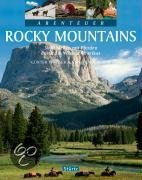
- Abenteuer Rocky Mountains
- Die wunderbar wilde Bergwelt der Rocky Mountains ist einer der wenigen Orte dieser Welt, an dem man noch wirkliche Abenteuer erleben kann. Günter Wamser und Sonja Endlweber sind mit vier Pferden entlang des 5000 Kilometer langen Continental Divide Trail von der mexikanischen zur kanadischen Grenze gereist, von den Wüsten New Mexicos durch die... Read more
- Also available from:
- Bol.com, Belgium
Bol.com
Belgium
Belgium
- Abenteuer Rocky Mountains
- Die wunderbar wilde Bergwelt der Rocky Mountains ist einer der wenigen Orte dieser Welt, an dem man noch wirkliche Abenteuer erleben kann. Günter Wamser und Sonja Endlweber sind mit vier Pferden entlang des 5000 Kilometer langen Continental Divide Trail von der mexikanischen zur kanadischen Grenze gereist, von den Wüsten New Mexicos durch die... Read more
Bol.com
Netherlands
Netherlands
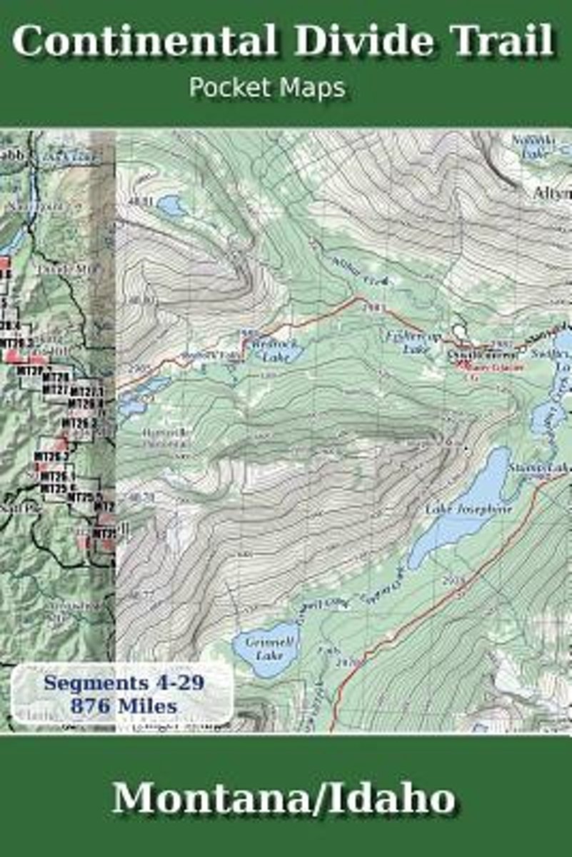
- Continental Divide Trail Pocket Maps - Montana/Idaho
- Montana & Idaho2nd Edition - November 5, 2017 - Major Updates for 2018The Continental Divide Trail Pocket Map Series is a current, complete and concise set of topographic maps created with digitized base maps covering every step of the 3,062 mile trail from Mexico to Canada. These are not 40 year old scanned USGS topographic maps.Features:+... Read more
- Also available from:
- Bol.com, Belgium
Bol.com
Belgium
Belgium
- Continental Divide Trail Pocket Maps - Montana/Idaho
- Montana & Idaho2nd Edition - November 5, 2017 - Major Updates for 2018The Continental Divide Trail Pocket Map Series is a current, complete and concise set of topographic maps created with digitized base maps covering every step of the 3,062 mile trail from Mexico to Canada. These are not 40 year old scanned USGS topographic maps.Features:+... Read more
- Also available from:
- Bol.com, Belgium

Bol.com
Netherlands
Netherlands
- Walking Distance
- Long-distance walking is good for you and good for the earth... But most of all, walking is a joyful celebration of life and the diverse, beautiful, and curious world in which we live. -from the Introduction Walking is simple, but it can also be profound. In an increasingly complex and frantic world, walking can simplify our lives. It... Read more
- Also available from:
- Bol.com, Belgium
Bol.com
Belgium
Belgium
- Walking Distance
- Long-distance walking is good for you and good for the earth... But most of all, walking is a joyful celebration of life and the diverse, beautiful, and curious world in which we live. -from the Introduction Walking is simple, but it can also be profound. In an increasingly complex and frantic world, walking can simplify our lives. It... Read more

Bol.com
Netherlands
Netherlands
- Of Moose and Men
- After landing the perfect job, Wellman drives to Maine where she spends five months living off grid, teaching Leave No Trace and confronting both men and moose in hilarious, behind the scene stories of what being a Ridgerunner on the Appalachian Trail really means. Known to the hiking community by her trail name 'Brawny', she has thru hiked the... Read more
- Also available from:
- Bol.com, Belgium
Bol.com
Belgium
Belgium
- Of Moose and Men
- After landing the perfect job, Wellman drives to Maine where she spends five months living off grid, teaching Leave No Trace and confronting both men and moose in hilarious, behind the scene stories of what being a Ridgerunner on the Appalachian Trail really means. Known to the hiking community by her trail name 'Brawny', she has thru hiked the... Read more
Bol.com
Netherlands
Netherlands
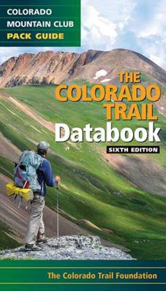
- Colorado Trail Databook, 6th Edition
- Here's the data that every Colorado Trail day hiker or thru-hiker will want with them on the route: trailheads, road crossings, trail intersections, stream crossings, water sources, campsite locations, viewpoints, elevation, and resupply towns. This sixth edition features up to date information on the new trail alignment of the Collegiate West... Read more
- Also available from:
- Bol.com, Belgium
Bol.com
Belgium
Belgium
- Colorado Trail Databook, 6th Edition
- Here's the data that every Colorado Trail day hiker or thru-hiker will want with them on the route: trailheads, road crossings, trail intersections, stream crossings, water sources, campsite locations, viewpoints, elevation, and resupply towns. This sixth edition features up to date information on the new trail alignment of the Collegiate West... Read more
Maps

Stanfords
United Kingdom
United Kingdom
- Girona
- Topographic survey of Catalonia at 1:25,000 from the Institut Cartogràfic i Geològic de Catalunya, an attractive alternative to Spain’s national topographic survey at this scale, offering a much larger area per sheet with extensive tourist information and vivid presentation of vegetation and land use.These large, detailed maps have contours at... Read more

Stanfords
United Kingdom
United Kingdom
- Sort - PN de l`Alt Pirineu Sud
- Topographic survey of Catalonia at 1:25,000 from the Institut Cartogràfic i Geològic de Catalunya, an attractive alternative to Spain’s national topographic survey at this scale, offering a much larger area per sheet with extensive tourist information and vivid presentation of vegetation and land use.These large, detailed maps have contours at... Read more

Stanfords
United Kingdom
United Kingdom
- La Bisbal d`Emporda
- Topographic survey of Catalonia at 1:25,000 from the Institut Cartogràfic i Geològic de Catalunya, an attractive alternative to Spain’s national topographic survey at this scale, offering a much larger area per sheet with extensive tourist information and vivid presentation of vegetation and land use.These large, detailed maps have contours at... Read more
Stanfords
United Kingdom
United Kingdom
- Vall de la Llosa - el Baridà
- Topographic survey of Catalonia at 1:25,000 from the Institut Cartogràfic i Geològic de Catalunya, an attractive alternative to Spain’s national topographic survey at this scale, offering a much larger area per sheet with extensive tourist information and vivid presentation of vegetation and land use.These large, detailed maps have contours at... Read more
Stanfords
United Kingdom
United Kingdom
- Pla de la Llitera - Riu de Farfanya
- Topographic survey of Catalonia at 1:25,000 from the Institut Cartogràfic i Geològic de Catalunya, an attractive alternative to Spain’s national topographic survey at this scale, offering a much larger area per sheet with extensive tourist information and vivid presentation of vegetation and land use.These large, detailed maps have contours at... Read more

Stanfords
United Kingdom
United Kingdom
- Gandesa - Riu d`Algars - Batea - Horta de Sant Joan
- Topographic survey of Catalonia at 1:25,000 from the Institut Cartogràfic i Geològic de Catalunya, an attractive alternative to Spain’s national topographic survey at this scale, offering a much larger area per sheet with extensive tourist information and vivid presentation of vegetation and land use.These large, detailed maps have contours at... Read more
Stanfords
United Kingdom
United Kingdom
- Tortosa
- Topographic survey of Catalonia at 1:25,000 from the Institut Cartogràfic i Geològic de Catalunya, an attractive alternative to Spain’s national topographic survey at this scale, offering a much larger area per sheet with extensive tourist information and vivid presentation of vegetation and land use.These large, detailed maps have contours at... Read more
Stanfords
United Kingdom
United Kingdom
- Muntanyes de Prades
- Topographic survey of Catalonia at 1:25,000 from the Institut Cartogràfic i Geològic de Catalunya, an attractive alternative to Spain’s national topographic survey at this scale, offering a much larger area per sheet with extensive tourist information and vivid presentation of vegetation and land use.These large, detailed maps have contours at... Read more
Stanfords
United Kingdom
United Kingdom
- Montsec de Rúbies - Vall de Barcedana
- Topographic survey of Catalonia at 1:25,000 from the Institut Cartogràfic i Geològic de Catalunya, an attractive alternative to Spain’s national topographic survey at this scale, offering a much larger area per sheet with extensive tourist information and vivid presentation of vegetation and land use.These large, detailed maps have contours at... Read more
Stanfords
United Kingdom
United Kingdom
- Cadí-Moixeró Natural Park West: la Seu d’Urgell - Vall de la Vansa
- Topographic survey of Catalonia at 1:25,000 from the Institut Cartogràfic i Geològic de Catalunya, an attractive alternative to Spain’s national topographic survey at this scale, offering a much larger area per sheet with extensive tourist information and vivid presentation of vegetation and land use.These large, detailed maps have contours at... Read more
Stanfords
United Kingdom
United Kingdom
- Flix - Riba-roja d`Ebre
- Topographic survey of Catalonia at 1:25,000 from the Institut Cartogràfic i Geològic de Catalunya, an attractive alternative to Spain’s national topographic survey at this scale, offering a much larger area per sheet with extensive tourist information and vivid presentation of vegetation and land use.These large, detailed maps have contours at... Read more
Stanfords
United Kingdom
United Kingdom
- Banyoles - Besalu - Rocacorba
- Topographic survey of Catalonia at 1:25,000 from the Institut Cartogràfic i Geològic de Catalunya, an attractive alternative to Spain’s national topographic survey at this scale, offering a much larger area per sheet with extensive tourist information and vivid presentation of vegetation and land use.These large, detailed maps have contours at... Read more
Stanfords
United Kingdom
United Kingdom
- Manresa - Pla de Bages
- Topographic survey of Catalonia at 1:25,000 from the Institut Cartogràfic i Geològic de Catalunya, an attractive alternative to Spain’s national topographic survey at this scale, offering a much larger area per sheet with extensive tourist information and vivid presentation of vegetation and land use.These large, detailed maps have contours at... Read more

Stanfords
United Kingdom
United Kingdom
- Falset
- Topographic survey of Catalonia at 1:25,000 from the Institut Cartogràfic i Geològic de Catalunya, an attractive alternative to Spain’s national topographic survey at this scale, offering a much larger area per sheet with extensive tourist information and vivid presentation of vegetation and land use.These large, detailed maps have contours at... Read more
Stanfords
United Kingdom
United Kingdom
- Vall de Núria – Ulldeter
- Topographic survey of Catalonia at 1:25,000 from the Institut Cartogràfic i Geològic de Catalunya, an attractive alternative to Spain’s national topographic survey at this scale, offering a much larger area per sheet with extensive tourist information and vivid presentation of vegetation and land use.These large, detailed maps have contours at... Read more