
New Mexico
Description
New Mexico is mountainous with countless rugged features, open plains and arid deserts.
Important trails here are the Continental Divide Trail and the Grand Enchantment Trail (also in Arizona).
Thousands of miles of (alpine) trails run through the Santa Fe National Forest and Gila National Forest. Also interesting are the Carson National Forest, the Lincoln National Forest and the Cibola National Forest.
Map

Trails in this state
Links
Facts
Reports
Guides and maps
Lodging
Organisations
Tour operators
GPS
Other
Books

Stanfords
United Kingdom
United Kingdom
- The Golden Age
- Charles V, Emperor of Europe and the New World, is the central figure The Golden age, the second volume of Hugh Thomas’s superb history of the Spanish Empire. It begins with the return of the remnants of Magellan’s expedition around the world in 1522 and ends with Charles’s death in 1558. In the decades between, the Spaniards conquer Guatemala,... Read more

Stanfords
United Kingdom
United Kingdom
- Windswept: Walking in the Footsteps of Remarkable Women
- The story of extraordinary women who lost their way - their sense of self, their identity, their freedom - and found it again through walking in the wild. A feminist exploration of the power of walking in nature, following in the footsteps of Gwen John, Georgia O`Keeffe, Frieda Lawrence, Clara Vyvyan, Simone de Beauvoir, Daphne Du Maurier and... Read more

The Book Depository
United Kingdom
United Kingdom
- Best Wildflower Hikes New Mexico
- A Guide to the Area's Greatest Wildflower Hiking Adventures Read more

Stanfords
United Kingdom
United Kingdom
- Windswept: why women walk
- The story of extraordinary women who lost their way - their sense of self, their identity, their freedom - and found it again through walking in the wild. `Moving and memorable` Virginia Nicholson, author of How Was It for You?`A triumph ... I felt as though I were being lifted, carried up to peaks` Charlotte Peacock, author of Into the... Read more
- Also available from:
- The Book Depository, United Kingdom


Stanfords
United Kingdom
United Kingdom
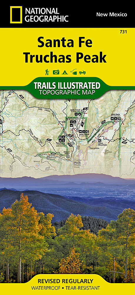
- Santa Fe - Truchas Peak NM
- Map No. 731, Santa Fe - Truchas Peak in New Mexico at 1:63,360, part of an extensive series of GPS compatible, contoured hiking maps of USA’s national and state parks or forests and other popular recreational areas. Cartography, based on the national topographic survey, has extensive additional tourist information.The maps, printed on light,... Read more
- Also available from:
- The Book Depository, United Kingdom
- De Zwerver, Netherlands

De Zwerver
Netherlands
Netherlands
- Wandelkaart 731 Santa Fe, Truchas Peak | National Geographic
- Trails Illustrated Read more
Bol.com
Netherlands
Netherlands
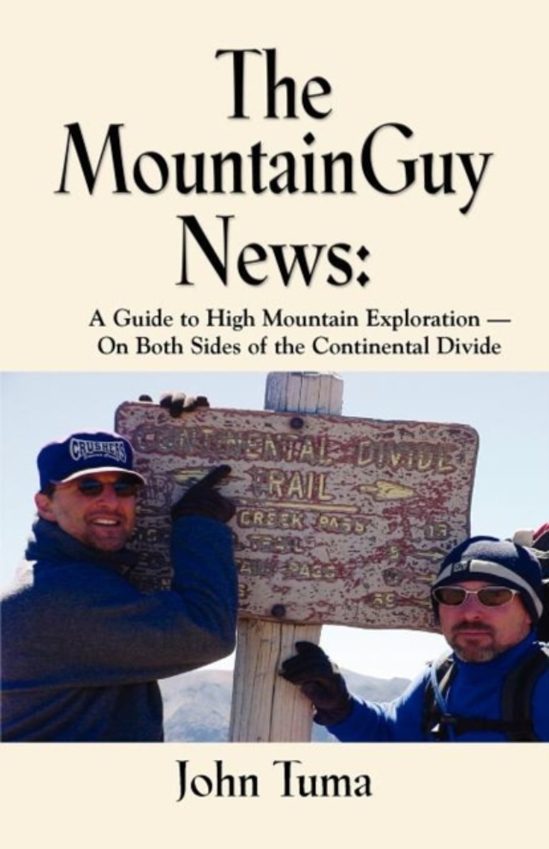
- The MountainGuy News
- This book is about backpacking and high mountain exploration. Explore the wild San Juan Mountains in southern Colorado, the popular but spectacular Maroon Bells in central Colorado, and the remote Gila Wilderness in southwestern New Mexico. Discover the joys and hardships of being out on the open trail. Learn how to make Mountain Jambalaya, and... Read more
- Also available from:
- Bol.com, Belgium
Bol.com
Belgium
Belgium
- The MountainGuy News
- This book is about backpacking and high mountain exploration. Explore the wild San Juan Mountains in southern Colorado, the popular but spectacular Maroon Bells in central Colorado, and the remote Gila Wilderness in southwestern New Mexico. Discover the joys and hardships of being out on the open trail. Learn how to make Mountain Jambalaya, and... Read more

Bol.com
Netherlands
Netherlands
- Route 66 Barn Find Road Trip
- Abandoned cars on America's most iconic abandoned road. Sounds like a great idea for a road trip.For a nation that loves the idea of the road, there is no more legendary ribbon of highway than the 2,451 miles comprising historic Route 66. Along the Mother Road lies the detritus of the automotive age: motels, roadside attractions, diners,... Read more
- Also available from:
- Bol.com, Belgium
Bol.com
Belgium
Belgium
- Route 66 Barn Find Road Trip
- Abandoned cars on America's most iconic abandoned road. Sounds like a great idea for a road trip.For a nation that loves the idea of the road, there is no more legendary ribbon of highway than the 2,451 miles comprising historic Route 66. Along the Mother Road lies the detritus of the automotive age: motels, roadside attractions, diners,... Read more
Bol.com
Netherlands
Netherlands
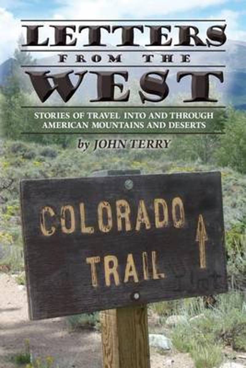
- Letters from the West
- Long before the concept of a bucket list became popular, author John Terry decided to rectify a serious deficiency in his life. Terry had never seen a real mountain or the desert, so he packed up his family and headed west.One family camping trip to Colorado and New Mexico was all it took Terry was hooked. Over the next thirty years, Terry... Read more
- Also available from:
- Bol.com, Belgium
Bol.com
Belgium
Belgium
- Letters from the West
- Long before the concept of a bucket list became popular, author John Terry decided to rectify a serious deficiency in his life. Terry had never seen a real mountain or the desert, so he packed up his family and headed west.One family camping trip to Colorado and New Mexico was all it took Terry was hooked. Over the next thirty years, Terry... Read more
Bol.com
Netherlands
Netherlands
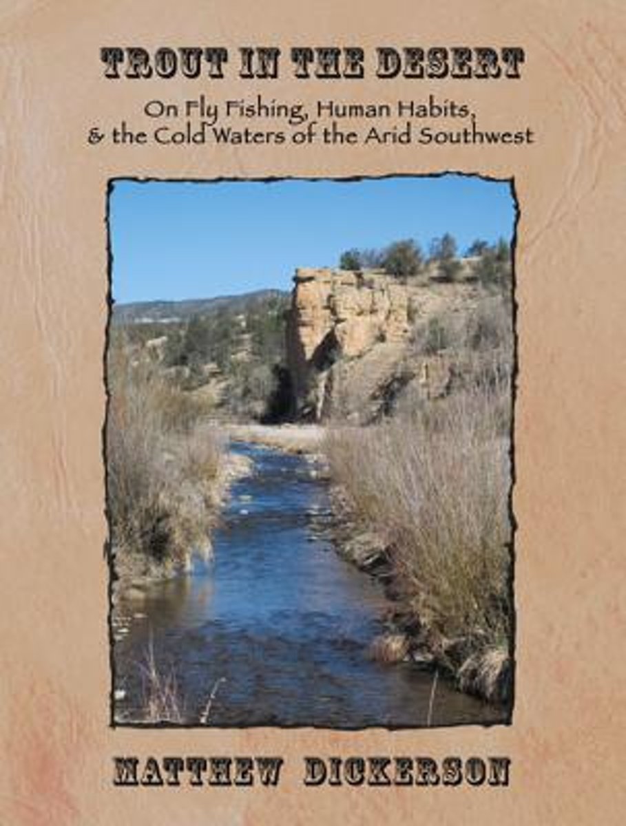
- Trout in the Desert
- Matthew Dickerson takes his readers from tiny mountain streams in the southern Rockies of New Mexico to the mighty Colorado River at the head of the Grand Canyon, to the Hill Country of Texas, exploring these various waters that manage to hold cold-loving trout in the midst of the hot desert landscapes of the American southwest. This lovingly... Read more
- Also available from:
- Bol.com, Belgium
Bol.com
Belgium
Belgium
- Trout in the Desert
- Matthew Dickerson takes his readers from tiny mountain streams in the southern Rockies of New Mexico to the mighty Colorado River at the head of the Grand Canyon, to the Hill Country of Texas, exploring these various waters that manage to hold cold-loving trout in the midst of the hot desert landscapes of the American southwest. This lovingly... Read more
Bol.com
Netherlands
Netherlands
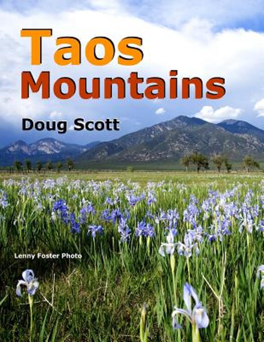
- Taos Mountains
- Ladies and Gentlemen may I introduce to you ...the mountains of Taos, New Mexico. I've lived in and hiked Taos for most of my 62 years. Immersed in these pages you will delve into the very heart of the Taos Mountains ...because I have no ability to stay on any trail. 127 - 8.5" x 11" pages are packed with over 100 full-color, full-page images.... Read more
- Also available from:
- Bol.com, Belgium
Bol.com
Belgium
Belgium
- Taos Mountains
- Ladies and Gentlemen may I introduce to you ...the mountains of Taos, New Mexico. I've lived in and hiked Taos for most of my 62 years. Immersed in these pages you will delve into the very heart of the Taos Mountains ...because I have no ability to stay on any trail. 127 - 8.5" x 11" pages are packed with over 100 full-color, full-page images.... Read more
Bol.com
Netherlands
Netherlands
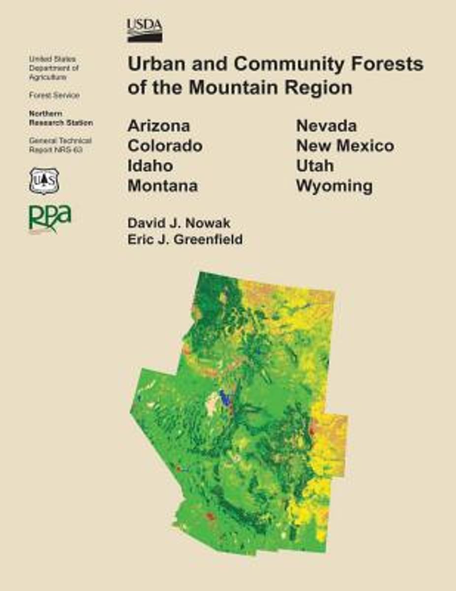
- Urban and Community Forests of the Mountain Region
- This report details how land cover and urbanization vary within the states of Arizona, Colorado, Idaho, Montana, Nevada, New Mexico, Utah, and Wyoming by community (incorporated and census designed places), county subdivision, and county. Specifically this report provides critical urban and community forestry information for each state... Read more
- Also available from:
- Bol.com, Belgium
Bol.com
Belgium
Belgium
- Urban and Community Forests of the Mountain Region
- This report details how land cover and urbanization vary within the states of Arizona, Colorado, Idaho, Montana, Nevada, New Mexico, Utah, and Wyoming by community (incorporated and census designed places), county subdivision, and county. Specifically this report provides critical urban and community forestry information for each state... Read more
Bol.com
Netherlands
Netherlands
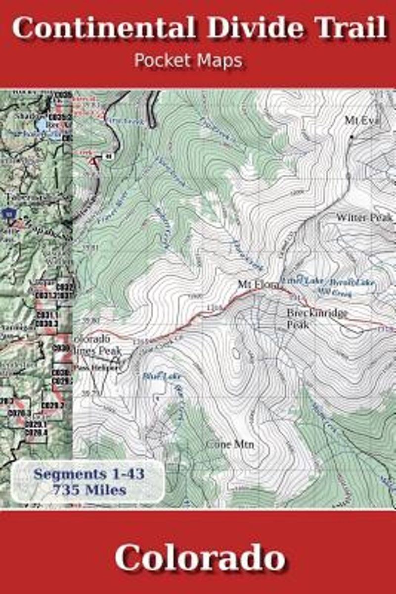
- Continental Divide Trail Pocket Maps - Colorado
- Colorado1st Edition - December 15, 2014The Continental Divide Trail Pocket Map Series is a complete and concise set of topographic maps created withdigitized base maps covering every step of the 3,016 mile trail from Mexico to Canada.The most current data available! This reflects the recently located, official CDTThe land cover, hydrology and... Read more
- Also available from:
- Bol.com, Belgium
Bol.com
Belgium
Belgium
- Continental Divide Trail Pocket Maps - Colorado
- Colorado1st Edition - December 15, 2014The Continental Divide Trail Pocket Map Series is a complete and concise set of topographic maps created withdigitized base maps covering every step of the 3,016 mile trail from Mexico to Canada.The most current data available! This reflects the recently located, official CDTThe land cover, hydrology and... Read more
Bol.com
Netherlands
Netherlands
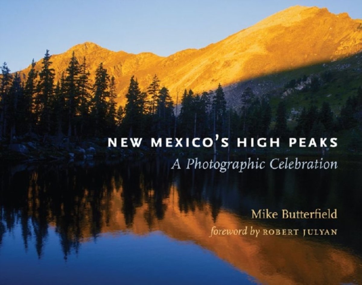
- New Mexico's High Peaks
- This book should be required reading for all who believe New Mexico is nothing but plains, mesas, and cacti. It proves in spectacular fashion that the Land of Enchantment is very much a mountain state, with at least sixty summits 12,000 feet or higher. Photographer-author Mike Butterfield has spent forty years hiking these high mountains, and... Read more
- Also available from:
- Bol.com, Belgium
Bol.com
Belgium
Belgium
- New Mexico's High Peaks
- This book should be required reading for all who believe New Mexico is nothing but plains, mesas, and cacti. It proves in spectacular fashion that the Land of Enchantment is very much a mountain state, with at least sixty summits 12,000 feet or higher. Photographer-author Mike Butterfield has spent forty years hiking these high mountains, and... Read more
Bol.com
Netherlands
Netherlands
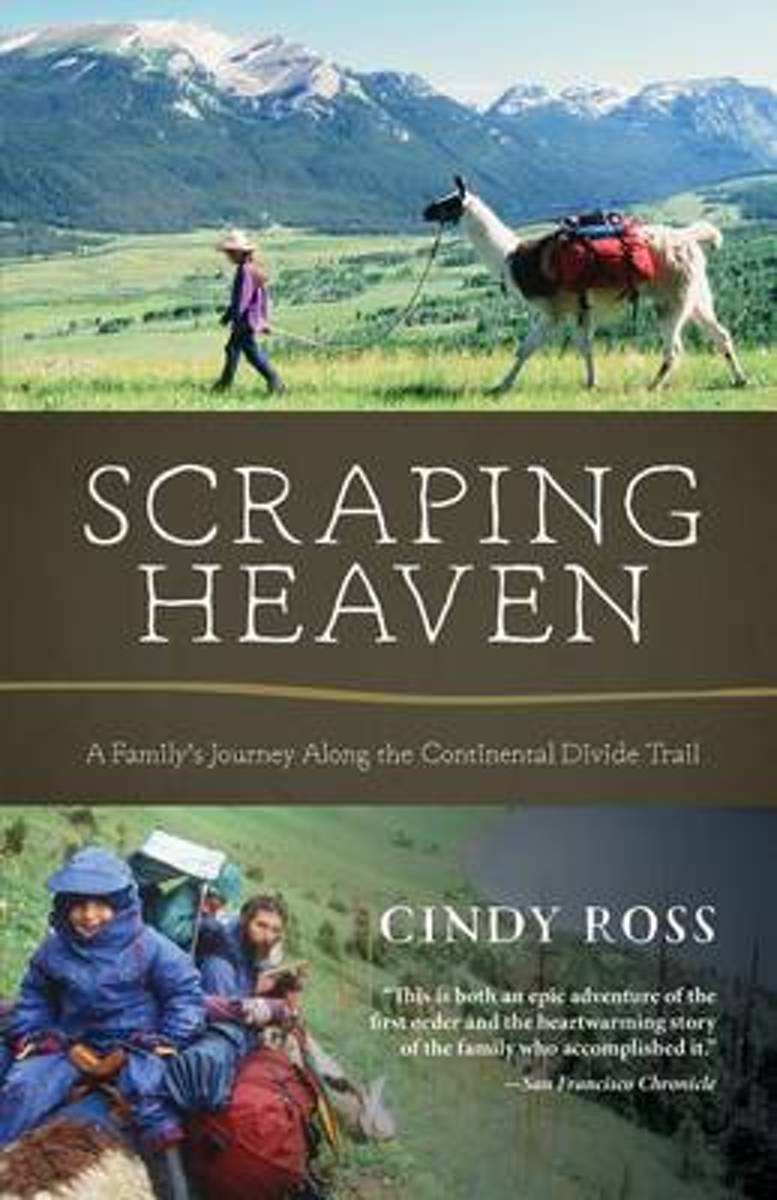
- Scraping Heaven
- More than 3,000 miles of trail by foot and mountain bikes with llamas and toddlers . . .What could go wrong? Scraping Heaven is the story of a family's adventurous trek over the rooftop of North America, a warm and heartfelt account with a powerful message for parents, long-distance hikers, and outdoor adventurers alike. The Continental Divide... Read more
- Also available from:
- Bol.com, Belgium
Bol.com
Belgium
Belgium
- Scraping Heaven
- More than 3,000 miles of trail by foot and mountain bikes with llamas and toddlers . . .What could go wrong? Scraping Heaven is the story of a family's adventurous trek over the rooftop of North America, a warm and heartfelt account with a powerful message for parents, long-distance hikers, and outdoor adventurers alike. The Continental Divide... Read more

- Also available from:
- Bol.com, Netherlands
- Bol.com, Belgium
Bol.com
Netherlands
Netherlands
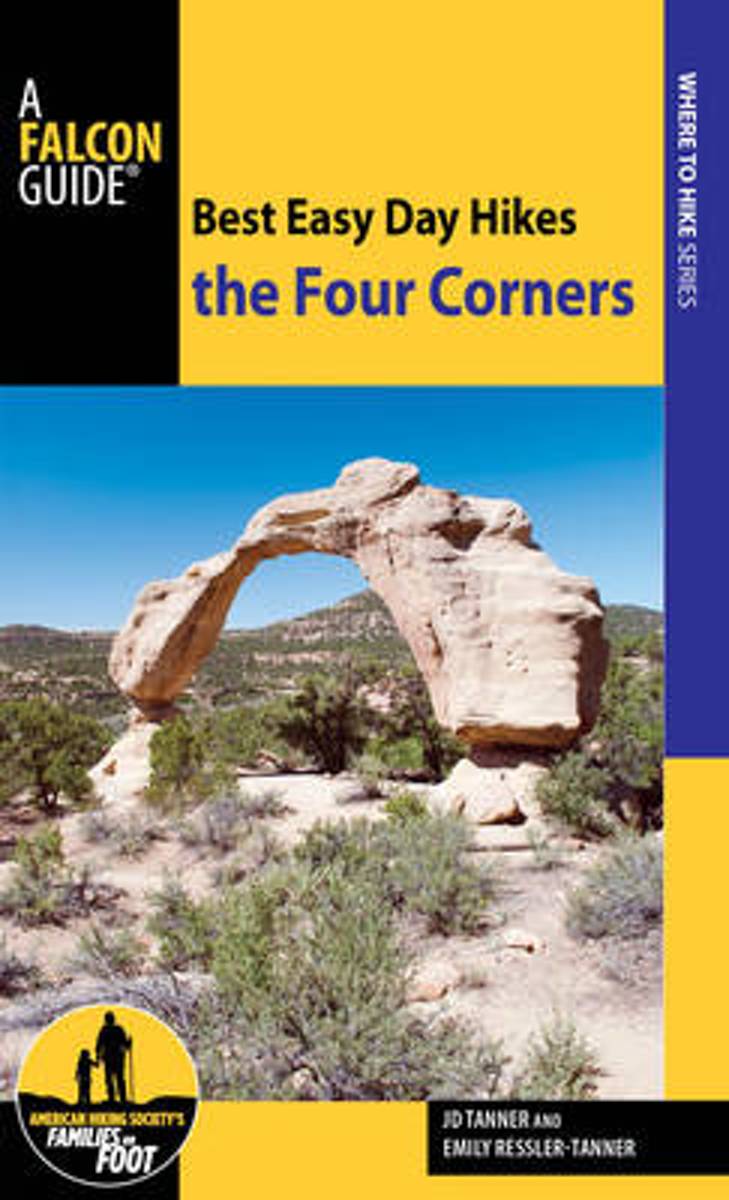
- Best Easy Day Hikes the Four Corners
- Best Easy Day Hikes the Four Corners offers day hikes and is encouraged for visitors, locals looking for fun challenges, and families wanting to hike together. Every hike includes prominent landmarks, GPS coordinates and waypoints, detailed hike descriptions and maps, and easy-to-find trailhead directions, along with excellent full-color photos... Read more
Bol.com
Belgium
Belgium
- Best Easy Day Hikes the Four Corners
- Best Easy Day Hikes the Four Corners offers day hikes and is encouraged for visitors, locals looking for fun challenges, and families wanting to hike together. Every hike includes prominent landmarks, GPS coordinates and waypoints, detailed hike descriptions and maps, and easy-to-find trailhead directions, along with excellent full-color photos... Read more
Maps

Stanfords
United Kingdom
United Kingdom
- New Mexico Benchmark Road & Recreation Atlas
- New Mexico at 1:400,000 in a series of excellent, detailed, GPS compatible state atlases from Benchmark Maps with extensive information on diverse recreational opportunities and facilities. The main section of the atlas, the Landscape Maps, presents the whole state on 56 pages of detailed mapping at 1:285,000. The Recreational Section is... Read more
Stanfords
United Kingdom
United Kingdom
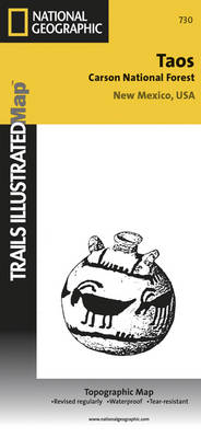
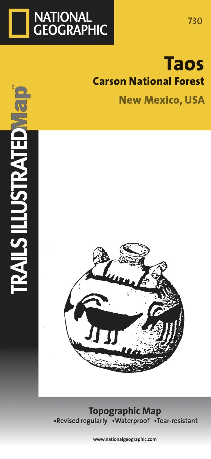
- Taos Area NM
- Map No. 730, Taos Area of New Mexico, at 1:40,680 in an extensive series of GPS compatible, contoured hiking maps of USA’s national and state parks or forests and other popular recreational areas. Cartography based on the national topographic survey, with additional tourist information.The maps, with most titles now printed on light, waterproof... Read more
- Also available from:
- The Book Depository, United Kingdom
- De Zwerver, Netherlands

De Zwerver
Netherlands
Netherlands
- Wandelkaart - Topografische kaart 730 Taos Carson National Forest | National Geographic
- Map No. 730, Taos Area of New Mexico, at 1:40,680 in an extensive series of GPS compatible, contoured hiking maps of USA Read more

Stanfords
United Kingdom
United Kingdom
- Many Glacier - Glacier and Waterton Lakes National Parks MT
- Map No. 313, Glacier National Park: North Fork, MT, in an extensive series of GPS compatible, contoured hiking maps of USA’s national and state parks or forests and other popular recreational areas. Cartography based on the national topographic survey, with additional tourist information.The maps, with most titles now printed on light,... Read more
- Also available from:
- Bol.com, Netherlands
- Bol.com, Belgium
- De Zwerver, Netherlands

Bol.com
Netherlands
Netherlands
- Many Glacier, Glacier National Park
- Waterproof Tear-Resistant Topographic MapLocated just north of Kalispell in Montana's northwest corner, Glacier National contains an abundance of recreational opportunities for outdoor enthusiasts of all interests.This detailed topographic recreation map contains carefully researched trails, campsites, forest service roads, and... Read more
Bol.com
Belgium
Belgium
- Many Glacier, Glacier National Park
- Waterproof Tear-Resistant Topographic MapLocated just north of Kalispell in Montana's northwest corner, Glacier National contains an abundance of recreational opportunities for outdoor enthusiasts of all interests.This detailed topographic recreation map contains carefully researched trails, campsites, forest service roads, and... Read more

De Zwerver
Netherlands
Netherlands
- Wandelkaart - Topografische kaart 314 Many Glacier - Glacier and Waterton Lakes National Parks | National Geographic
- Prachtige geplastificeerde kaart van het bekende nationaal park. Met alle recreatieve voorzieningen als campsites, maar ook met topografische details en wandelroutes ed. Door uitgekiend kleurgebruik zeer prettig in gebruik. Scheur en watervast! Located just north of Kalispell in Montana's northwest corner, Glacier National contains an... Read more

Stanfords
United Kingdom
United Kingdom
- Telluride - Silverton - Ouray - Lake City CO
- Map No. 141, Telluride - Silverton - Ouray - Lake City, CO, in an extensive series of GPS compatible, contoured hiking maps of USA’s national and state parks or forests and other popular recreational areas. Cartography based on the national topographic survey, with additional tourist information.The maps, with most titles now printed on light,... Read more
- Also available from:
- The Book Depository, United Kingdom
- Bol.com, Netherlands
- Bol.com, Belgium
- De Zwerver, Netherlands


Bol.com
Netherlands
Netherlands
- Telluride/silverton/ouray/lake City
- Waterproof Tear-Resistant Topographic MapExpertly researched and created in partnership with local land management agencies, National Geographic's Trails Illustrated map of Telluride, Silverton, Ouray, and Lake City provides an unparalleled tool for exploring this breathtaking region of Colorado. Whatever the season, you'll find this map... Read more
Bol.com
Belgium
Belgium
- Telluride/silverton/ouray/lake City
- Waterproof Tear-Resistant Topographic MapExpertly researched and created in partnership with local land management agencies, National Geographic's Trails Illustrated map of Telluride, Silverton, Ouray, and Lake City provides an unparalleled tool for exploring this breathtaking region of Colorado. Whatever the season, you'll find this map... Read more

De Zwerver
Netherlands
Netherlands
- Wandelkaart - Topografische kaart 141 Telluride, Silverton, Ouray, Lake City | National Geographic
- Prachtige geplastificeerde kaart van het bekende nationaal park. Met alle recreatieve voorzieningen als campsites, maar ook met topografische details en wandelroutes ed. Door uitgekiend kleurgebruik zeer prettig in gebruik. Scheur en watervast! Beautiful waterproof and tear-resistant topographical hiking map of a well-loved National Park, with... Read more

Stanfords
United Kingdom
United Kingdom
- Glacier - Waterton Lakes National Park MT
- Map No. 215, Glacier/Waterton Lakes National Park, MT, in an extensive series of GPS compatible, contoured hiking maps of USA’s national and state parks or forests and other popular recreational areas. Cartography based on the national topographic survey, with additional tourist information.The maps, with most titles now printed on light,... Read more
- Also available from:
- Bol.com, Netherlands
- Bol.com, Belgium
- De Zwerver, Netherlands

Bol.com
Netherlands
Netherlands
- Glacier/waterton Lakes National Parks
- Waterproof Tear-Resistant Topographic MapNational Geographic's Trails Illustrated map of Glacier and Waterton Lakes National Parks offers unparalleled detail for outdoor enthusiasts exploring the pristine landscape of forests, mountains, lakes, and meadows within these two spectacular parks. Created in partnership with local land... Read more
Bol.com
Belgium
Belgium
- Glacier/waterton Lakes National Parks
- Waterproof Tear-Resistant Topographic MapNational Geographic's Trails Illustrated map of Glacier and Waterton Lakes National Parks offers unparalleled detail for outdoor enthusiasts exploring the pristine landscape of forests, mountains, lakes, and meadows within these two spectacular parks. Created in partnership with local land... Read more

De Zwerver
Netherlands
Netherlands
- Wandelkaart - Topografische kaart 215 Glacier - Waterton Lakes National Park | National Geographic
- Prachtige geplastificeerde kaart van het bekende nationaal park. Met alle recreatieve voorzieningen als campsites, maar ook met topografische details en wandelroutes ed. Door uitgekiend kleurgebruik zeer prettig in gebruik. Scheur en watervast! Waterton Lakes National Park, Canada includes Waterton Park, Upper and Middle Waterton Lakes, The... Read more
More maps…
