
Wyoming
Description
Wyoming is a true mountain state, with the Rocky Mountains, glaciers, but also badlands and deserts. And of course the Yellowstone National Park. The main hiking area is the northwest.
Yellowstone is famous, but try to avoid the tourist traps. Better to choose the trails in the outer parts of the park. Another hit is the Grand Teton National Park, and the adjacent National Forest with the same name. The Bridger-Teton National Forest has large wilderness areas. And finally the glacier rich Shoshone National Forest. These parks count for more than 6000 miles of hiking trails.
Wyoming has its share of the famous Continental Divide Trail, and also of the Great Western Trail. The place to be!
Map

Trails in this state
Links
Facts
Reports
Guides and maps
Lodging
Organisations
Tour operators
GPS
Other
Books

Stanfords
United Kingdom
United Kingdom
- Cloud Peak Wilderness WY
- Map No. 720, Cloud Peak Wilderness in Wyoming, at 1:45,000 in an extensive series of GPS compatible, contoured hiking maps of USA’s national and state parks or forests and other popular recreational areas. Cartography based on the national topographic survey, with additional tourist information.The maps, with most titles now printed on light,... Read more

The Book Depository
United Kingdom
United Kingdom
- Hiking the Black Hills Country
- A Guide To More Than 50 Hikes In South Dakota And Wyoming Read more

The Book Depository
United Kingdom
United Kingdom
- Hiking Wyoming
- A Guide to the State's Greatest Hiking Adventures Read more

The Book Depository
United Kingdom
2022
United Kingdom
2022
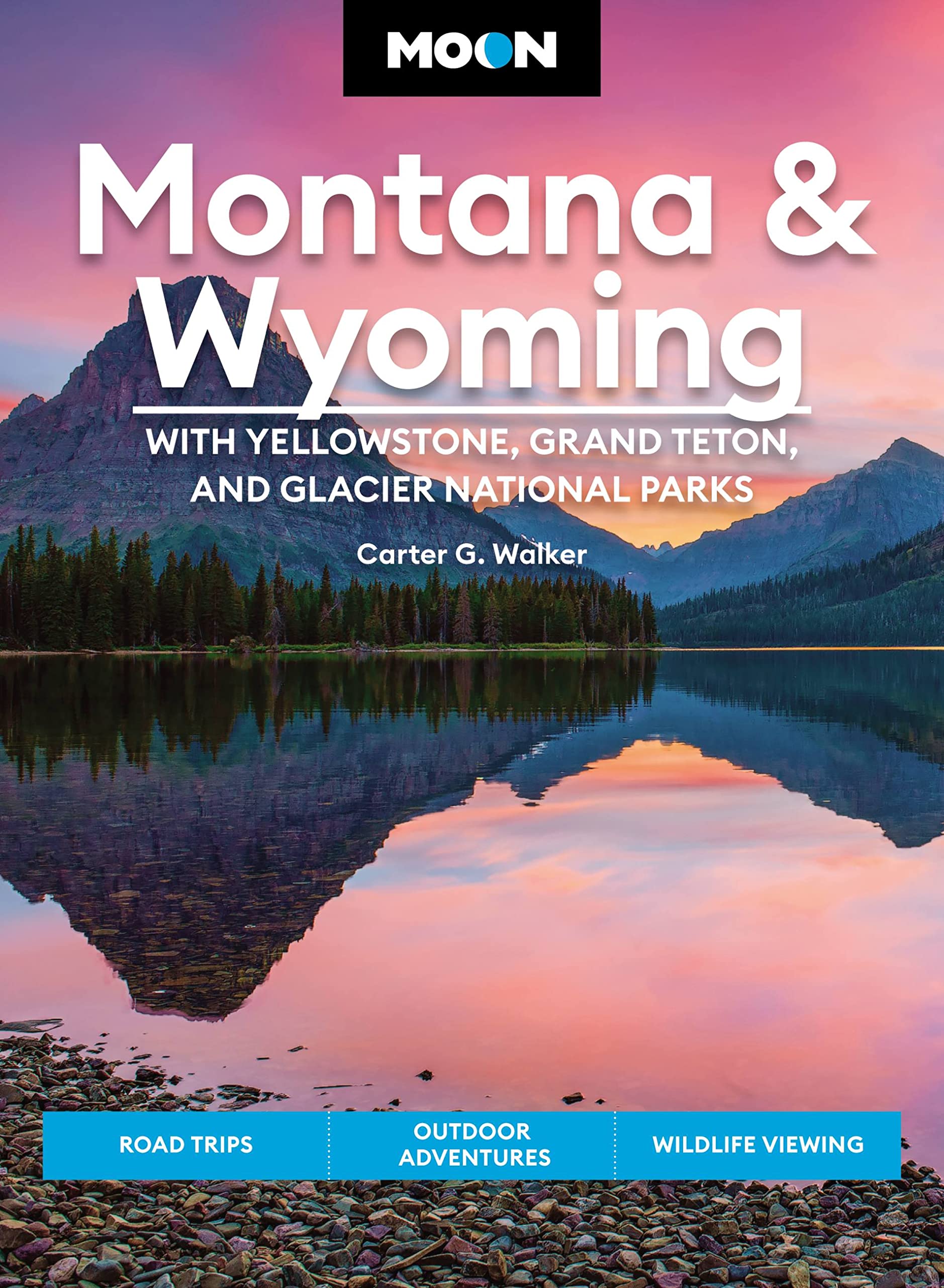
- Moon Montana & Wyoming: With Yellowstone, Grand Teton & Glacier National Parks (Fifth Edition)
- Road Trips, Outdoor Adventures, Wildlife Viewing Read more
- Also available from:
- De Zwerver, Netherlands
De Zwerver
Netherlands
2022
Netherlands
2022
- Reisgids Montana - Wyoming | Moon Travel Guides
- Road Trips, Outdoor Adventures, Wildlife Viewing Read more

Stanfords
United Kingdom
United Kingdom
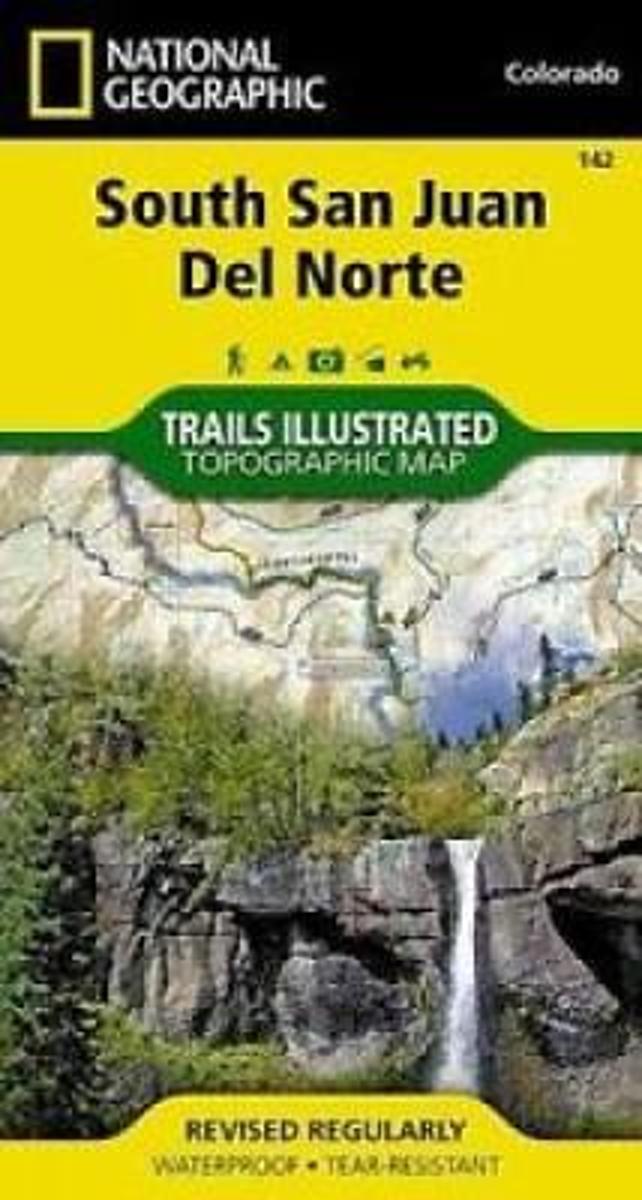
- South San Juan - Del Norte CO
- Map No. 142, South San Juan - Del Norte, CO, in an extensive series of GPS compatible, contoured hiking maps of USA’s national and state parks or forests and other popular recreational areas. Cartography based on the national topographic survey, with additional tourist information.The maps, with most titles now printed on light, waterproof and... Read more
- Also available from:
- The Book Depository, United Kingdom
- Bol.com, Netherlands
- Bol.com, Belgium

Bol.com
Netherlands
Netherlands
- South San Juan/del Norte
- Waterproof Tear-Resistant Topographic MapCoverage includes Rio Grande and San Juan national forests; South San Juan Wilderness; Dipping Lakes and Spiler Lakes; Lost Lake; Platoro and Fuchs Reservoirs; South Fork and Conejos rivers; the cities of Del Norte, South Fork, Wagon Wheel Gap, Summitville, Jasper, Cumbres, Platoro; and the... Read more
Bol.com
Belgium
Belgium
- South San Juan/del Norte
- Waterproof Tear-Resistant Topographic MapCoverage includes Rio Grande and San Juan national forests; South San Juan Wilderness; Dipping Lakes and Spiler Lakes; Lost Lake; Platoro and Fuchs Reservoirs; South Fork and Conejos rivers; the cities of Del Norte, South Fork, Wagon Wheel Gap, Summitville, Jasper, Cumbres, Platoro; and the... Read more

Bol.com
Netherlands
Netherlands
- Walking Across America
- Walking Across America is the story of John and Helen Beams long trek across the country. They didnt walk the walk because they were disillusioned with society or stifled in their jobs, or because they needed to find themselves or plumb their relationships to nature. Theyd led blessed lives and carried no such romantic baggage. They... Read more
- Also available from:
- Bol.com, Belgium
Bol.com
Belgium
Belgium
- Walking Across America
- Walking Across America is the story of John and Helen Beams long trek across the country. They didnt walk the walk because they were disillusioned with society or stifled in their jobs, or because they needed to find themselves or plumb their relationships to nature. Theyd led blessed lives and carried no such romantic baggage. They... Read more

Bol.com
Netherlands
Netherlands
- Bayed or Treed
- Travis Letteer was carried to his first coon tree before he could walk, and had been to numerous bear and cat trees before he was old enough to attend school. A lifelong houndsman, he was born and raised on the Washington Coast, but moved to Idaho when Washington lost it's bear and cat, hound seasons. He has hunted his dogs in numerous western... Read more
- Also available from:
- Bol.com, Belgium
Bol.com
Belgium
Belgium
- Bayed or Treed
- Travis Letteer was carried to his first coon tree before he could walk, and had been to numerous bear and cat trees before he was old enough to attend school. A lifelong houndsman, he was born and raised on the Washington Coast, but moved to Idaho when Washington lost it's bear and cat, hound seasons. He has hunted his dogs in numerous western... Read more
Bol.com
Netherlands
Netherlands
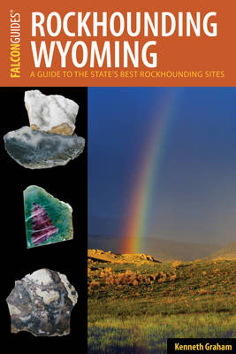
- Rockhounding Wyoming
- The 75 sites described in this guide take you across the red desert to the high mountain majesty of the Big Horns and Wind Rivers as well as the geologic wonders of Yellowstone National Park. Graham, a former hardrock miner, developed an interest in rocks at an early age, and he shares his enthusiasm for rockhounding and his appreciation for... Read more
- Also available from:
- Bol.com, Belgium
Bol.com
Belgium
Belgium
- Rockhounding Wyoming
- The 75 sites described in this guide take you across the red desert to the high mountain majesty of the Big Horns and Wind Rivers as well as the geologic wonders of Yellowstone National Park. Graham, a former hardrock miner, developed an interest in rocks at an early age, and he shares his enthusiasm for rockhounding and his appreciation for... Read more
Bol.com
Netherlands
Netherlands
- U. S. Road Trip Journal
- U. S. Road Trip Journal is a guided journal designed to help detail memories of your road trips around the United States. The Journal holds up to 51 days worth of travel. Other covers exist so you can get another volume when this one is full.<br><br>Each day gets 4 pages. On Page 1 of each day you record Trip/Destination, Date, Day... Read more
- Also available from:
- Bol.com, Belgium
Bol.com
Belgium
Belgium
- U. S. Road Trip Journal
- U. S. Road Trip Journal is a guided journal designed to help detail memories of your road trips around the United States. The Journal holds up to 51 days worth of travel. Other covers exist so you can get another volume when this one is full.<br><br>Each day gets 4 pages. On Page 1 of each day you record Trip/Destination, Date, Day... Read more
Bol.com
Netherlands
Netherlands
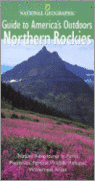
- National Geographic Guides to America's Outdoors
- Idaho Wyoming Montana In this practical, informative, richly illustrated guide, National Geographic takes you to the best nature sites in the northern Rockies and tells you what you need to know -- about the landscape, plants, animals, activities, and recreation -- to experience them fully. * Over 75 major sites, plus many smaller ones, grouped... Read more
- Also available from:
- Bol.com, Belgium
Bol.com
Belgium
Belgium
- National Geographic Guides to America's Outdoors
- Idaho Wyoming Montana In this practical, informative, richly illustrated guide, National Geographic takes you to the best nature sites in the northern Rockies and tells you what you need to know -- about the landscape, plants, animals, activities, and recreation -- to experience them fully. * Over 75 major sites, plus many smaller ones, grouped... Read more
Bol.com
Netherlands
Netherlands
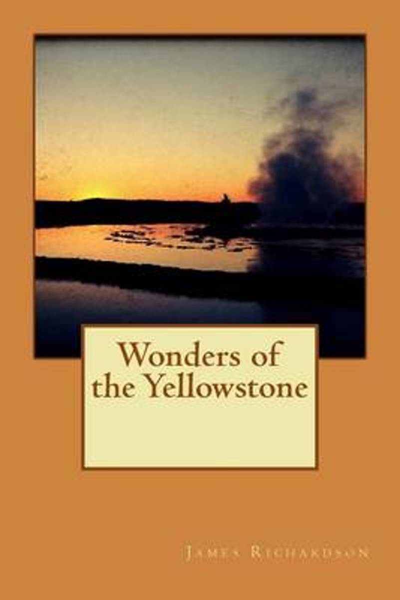
- Wonders of the Yellowstone
- In the northwest corner of the Territory of Wyoming, about half way between the Mississippi River and the Pacific Ocean, and in the same latitude as the State of New York, the grand Rocky Mountain system culminates in a knot of peaks and ranges enclosing the most remarkable lake basin in the world. From this point radiate the chief mountain... Read more
- Also available from:
- Bol.com, Belgium
Bol.com
Belgium
Belgium
- Wonders of the Yellowstone
- In the northwest corner of the Territory of Wyoming, about half way between the Mississippi River and the Pacific Ocean, and in the same latitude as the State of New York, the grand Rocky Mountain system culminates in a knot of peaks and ranges enclosing the most remarkable lake basin in the world. From this point radiate the chief mountain... Read more
Bol.com
Netherlands
Netherlands
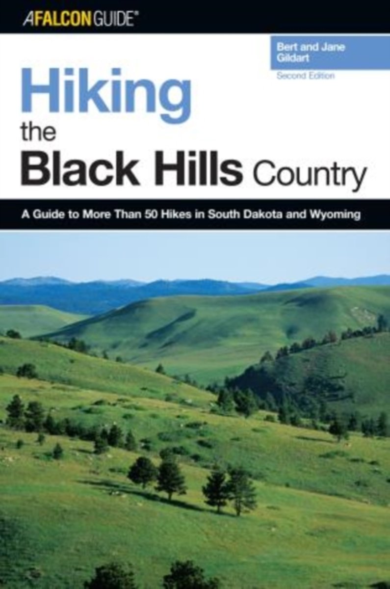
- Hiking the Black Hills Country
- Fully updated and revised, this second edition has detailed descriptions and maps of fifty-five trails, from Devils Tower National Monument and Mount Rushmore National Memorial to Custer State Park, Wind Cave, and Badlands National Park. Read more
- Also available from:
- Bol.com, Belgium
Bol.com
Belgium
Belgium
- Hiking the Black Hills Country
- Fully updated and revised, this second edition has detailed descriptions and maps of fifty-five trails, from Devils Tower National Monument and Mount Rushmore National Memorial to Custer State Park, Wind Cave, and Badlands National Park. Read more
Bol.com
Netherlands
Netherlands
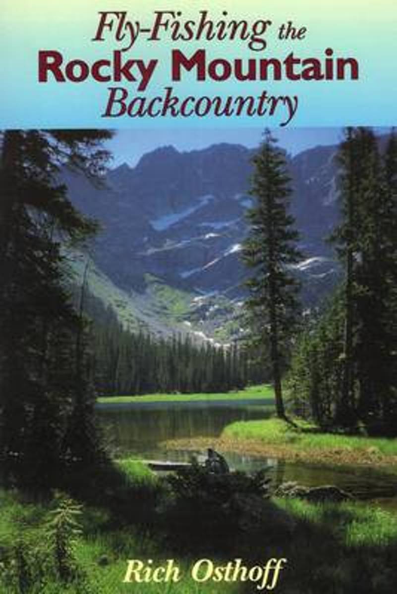
- Fly-Fishing the Rocky Mountain Backcountry
- How to reach and fish remote waters in Montana, Wyoming, Colorado, Utah, Idaho, and Oregon. Read more
- Also available from:
- Bol.com, Belgium
Bol.com
Belgium
Belgium
- Fly-Fishing the Rocky Mountain Backcountry
- How to reach and fish remote waters in Montana, Wyoming, Colorado, Utah, Idaho, and Oregon. Read more
Bol.com
Netherlands
Netherlands
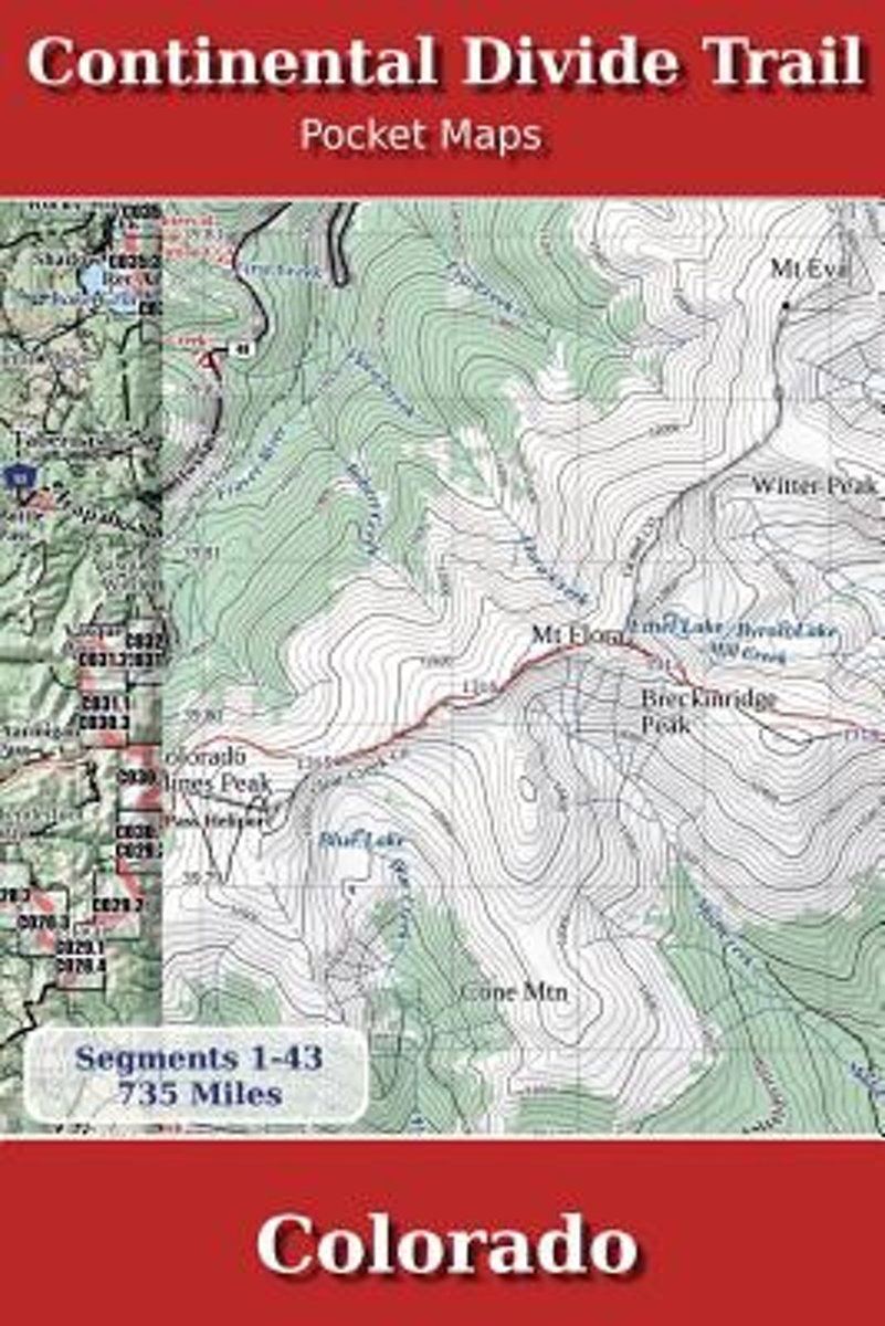
- Continental Divide Trail Pocket Maps - Colorado
- Colorado1st Edition - December 15, 2014The Continental Divide Trail Pocket Map Series is a complete and concise set of topographic maps created withdigitized base maps covering every step of the 3,016 mile trail from Mexico to Canada.The most current data available! This reflects the recently located, official CDTThe land cover, hydrology and... Read more
- Also available from:
- Bol.com, Belgium
Bol.com
Belgium
Belgium
- Continental Divide Trail Pocket Maps - Colorado
- Colorado1st Edition - December 15, 2014The Continental Divide Trail Pocket Map Series is a complete and concise set of topographic maps created withdigitized base maps covering every step of the 3,016 mile trail from Mexico to Canada.The most current data available! This reflects the recently located, official CDTThe land cover, hydrology and... Read more
Bol.com
Netherlands
Netherlands
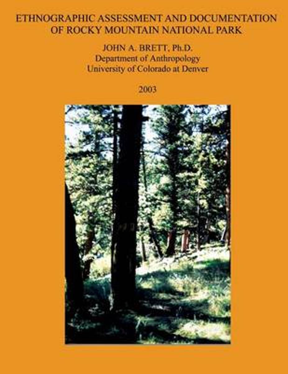
- Ethnographic Assessment and Documentation of Rocky Mountain National Park
- This report contains the results of an Ethnographic Overview and Assessment project which sought to identify and document the history of American Indians in the region in and around Rocky Mountain National Park (RMNP). It was completed under contract number ROMO-R96-0617 out of the National Park Service Intermountain Support Office, Denver, CO,... Read more
- Also available from:
- Bol.com, Belgium
Bol.com
Belgium
Belgium
- Ethnographic Assessment and Documentation of Rocky Mountain National Park
- This report contains the results of an Ethnographic Overview and Assessment project which sought to identify and document the history of American Indians in the region in and around Rocky Mountain National Park (RMNP). It was completed under contract number ROMO-R96-0617 out of the National Park Service Intermountain Support Office, Denver, CO,... Read more
Maps

Stanfords
United Kingdom
United Kingdom
- Greater Yellowstone & Grand Teton Benchnark Maps Recreation Atlas & Guide
- Greater Yellowstone and Grand Teton Recreation Atlas & Guide from Benchmark Maps in an A4 paperback format, with coverage of the two parks on detailed, GPS compatible “Recreational” section at 1:100,000, regional map coverage of a wider area, plus a 10-page recreational guide with list of various facilities, etc.The more detailed “Landscape”... Read more

Stanfords
United Kingdom
United Kingdom
- Old Faithful - Yellowstone National Park SW WY/MT
- Map No. 302, Yellowstone SW: Old Faithful, WY/MT, in an extensive series of GPS compatible, contoured hiking maps of USA’s national and state parks or forests and other popular recreational areas. Cartography based on the national topographic survey, with additional tourist information.The maps, with most titles now printed on light, waterproof... Read more
- Also available from:
- The Book Depository, United Kingdom
- De Zwerver, Netherlands

The Book Depository
United Kingdom
United Kingdom
- Yellowstone Sw/old Faithful
- Trails Illustrated National Parks Read more

De Zwerver
Netherlands
Netherlands
- Wandelkaart - Topografische kaart 302 Old Faithful, Yellowstone National Park SW | National Geographic
- Prachtige geplastificeerde kaart van het bekende nationaal park. Met alle recreatieve voorzieningen als campsites, maar ook met topografische details en wandelroutes ed. Door uitgekiend kleurgebruik zeer prettig in gebruik. Scheur en watervast! Beautiful waterproof and tear-resistant topographical hiking map of a well-loved National Park, with... Read more

Stanfords
United Kingdom
United Kingdom
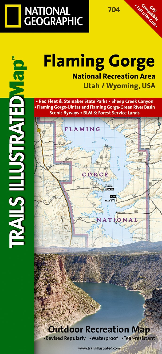
- Flaming Gorge - East Uintas UT/WY
- Map No. 704, Flaming Gorge - East Uintas, UT/WY, in an extensive series of GPS compatible, contoured hiking maps of USA’s national and state parks or forests and other popular recreational areas. Cartography based on the national topographic survey, with additional tourist information.The maps, with most titles now printed on light, waterproof... Read more
- Also available from:
- The Book Depository, United Kingdom
- De Zwerver, Netherlands

The Book Depository
United Kingdom
United Kingdom
- Flaming Gorge/east Uintas
- Trails Illustrated Other Rec. Areas Read more
De Zwerver
Netherlands
Netherlands
- Wandelkaart - Topografische kaart 704 Flaming Gorge National Recreation Area | National Geographic
- Prachtige geplastificeerde kaart van het bekende nationaal park. Met alle recreatieve voorzieningen als campsites, maar ook met topografische details en wandelroutes ed. Door uitgekiend kleurgebruik zeer prettig in gebruik. Scheur en watervast! Coverage includes Ashley National Forest; Flaming Gorge National Recreation Area; Eastern Uinta... Read more

Stanfords
United Kingdom
United Kingdom
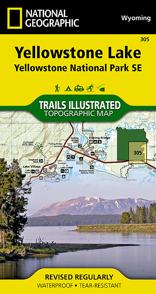
- Yellowstone Lake - Yellowstone National Park WY
- Map No. 305, Yellowstone SE: Yellowstone Lake in Wyoming, at 1:63.360 in an extensive series of GPS compatible, contoured hiking maps of USA’s national and state parks or forests and other popular recreational areas. Cartography based on the national topographic survey, with additional tourist information.The maps, with most titles now printed... Read more
- Also available from:
- The Book Depository, United Kingdom
- De Zwerver, Netherlands

The Book Depository
United Kingdom
United Kingdom
- Yellowstone Se/yellowstone Lake
- Trails Illustrated National Parks Read more
De Zwerver
Netherlands
Netherlands
- Wandelkaart 305 Yellowstone Lake | National Geographic
- Prachtige geplastificeerde kaart van het nationaal park. Met alle recreatieve voorzieningen als campsites, maar ook met topografische details en wandelroutes ed. Door uitgekiend kleurgebruik zeer prettig in gebruik. Scheur en watervast! Coverage of the Yellowstone Lake area of Yellowstone National Park includes Pelican Valley BMA, Clear Creek... Read more

Stanfords
United Kingdom
United Kingdom
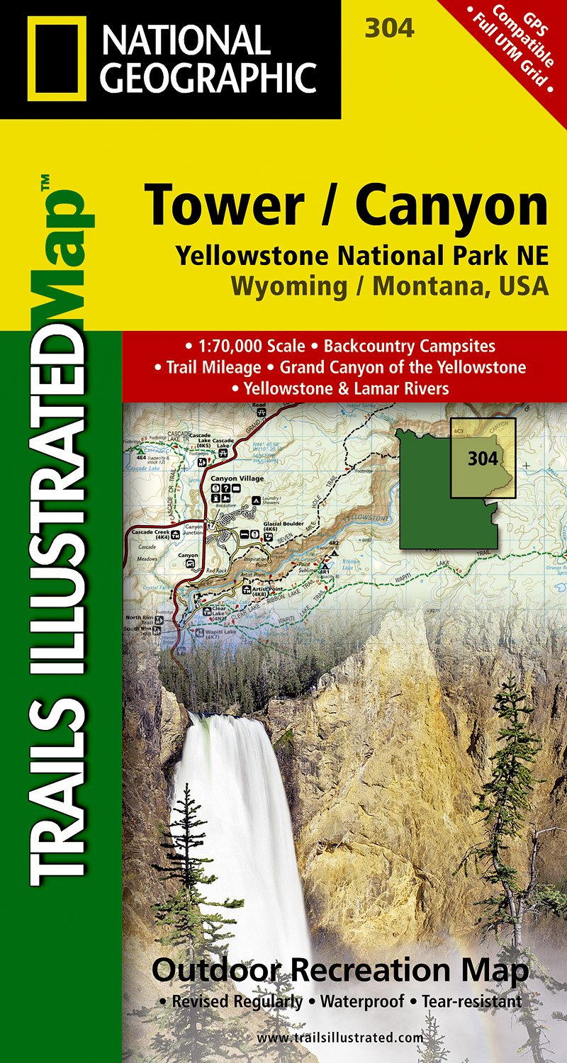
- Tower - Canyon - Yellowstone National Park WY/MT
- Map No. 304, Yellowstone NE: Tower/Canyon, WY/MT, in an extensive series of GPS compatible, contoured hiking maps of USA’s national and state parks or forests and other popular recreational areas. Cartography based on the national topographic survey, with additional tourist information.The maps, with most titles now printed on light, waterproof... Read more
- Also available from:
- The Book Depository, United Kingdom
- De Zwerver, Netherlands

The Book Depository
United Kingdom
United Kingdom
- Yellowstone Ne/tower/canyon
- Trails Illustrated National Parks Read more
De Zwerver
Netherlands
Netherlands
- Wandelkaart - Topografische kaart 304 Tower - Canyon - Yellowstone National Park NE | National Geographic
- Prachtige geplastificeerde kaart van het nationaal park. Met alle recreatieve voorzieningen als campsites, maar ook met topografische details en wandelroutes ed. Door uitgekiend kleurgebruik zeer prettig in gebruik. Scheur en watervast! Coverage of the Tower / Canyon area of Yellowstone National Park includes Canyon Village, Tower -... Read more

Stanfords
United Kingdom
United Kingdom
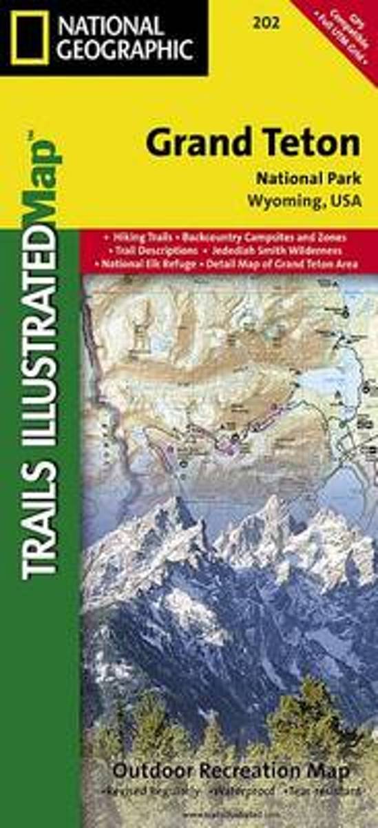
- Grand Teton National Park WY NGS Trails Illustrated Map 202
- Map No. 202, Grand Teton National Park, WY, in an extensive series of GPS compatible, contoured hiking maps of USA’s national and state parks or forests and other popular recreational areas. Cartography based on the national topographic survey, with additional tourist information.The maps, with most titles now printed on light, waterproof and... Read more
- Also available from:
- The Book Depository, United Kingdom
- Bol.com, Netherlands
- Bol.com, Belgium
- De Zwerver, Netherlands

The Book Depository
United Kingdom
United Kingdom
- Grand Teton National Park
- Trails Illustrated National Parks Read more
Bol.com
Netherlands
Netherlands
- Grand Teton National Park
- Waterproof Tear-Resistant Topographic MapExpertly researched and created in partnership with local land management agencies, National Geographic's Trails Illustrated map of Grand Teton National Park provides an unparalleled tool for exploring this magnificent region. This map offers unmatched detail of the entire park and features key... Read more
Bol.com
Belgium
Belgium
- Grand Teton National Park
- Waterproof Tear-Resistant Topographic MapExpertly researched and created in partnership with local land management agencies, National Geographic's Trails Illustrated map of Grand Teton National Park provides an unparalleled tool for exploring this magnificent region. This map offers unmatched detail of the entire park and features key... Read more

De Zwerver
Netherlands
Netherlands
- Wandelkaart 202 Grand Teton National Park | National Geographic
- Prachtige geplastificeerde kaart van het bekende nationaal park. Met alle recreatieve voorzieningen als campsites, maar ook met topografische details en wandelroutes ed. Door uitgekiend kleurgebruik zeer prettig in gebruik. Scheur en watervast! De meeste kaarten hebben een UTM grid en zijn dan ook GPS toepasbaar. Coverage includes town of Lead,... Read more

Stanfords
United Kingdom
United Kingdom
- Telluride - Silverton - Ouray - Lake City CO
- Map No. 141, Telluride - Silverton - Ouray - Lake City, CO, in an extensive series of GPS compatible, contoured hiking maps of USA’s national and state parks or forests and other popular recreational areas. Cartography based on the national topographic survey, with additional tourist information.The maps, with most titles now printed on light,... Read more
- Also available from:
- The Book Depository, United Kingdom
- Bol.com, Netherlands
- Bol.com, Belgium
- De Zwerver, Netherlands


Bol.com
Netherlands
Netherlands
- Telluride/silverton/ouray/lake City
- Waterproof Tear-Resistant Topographic MapExpertly researched and created in partnership with local land management agencies, National Geographic's Trails Illustrated map of Telluride, Silverton, Ouray, and Lake City provides an unparalleled tool for exploring this breathtaking region of Colorado. Whatever the season, you'll find this map... Read more
Bol.com
Belgium
Belgium
- Telluride/silverton/ouray/lake City
- Waterproof Tear-Resistant Topographic MapExpertly researched and created in partnership with local land management agencies, National Geographic's Trails Illustrated map of Telluride, Silverton, Ouray, and Lake City provides an unparalleled tool for exploring this breathtaking region of Colorado. Whatever the season, you'll find this map... Read more

De Zwerver
Netherlands
Netherlands
- Wandelkaart - Topografische kaart 141 Telluride, Silverton, Ouray, Lake City | National Geographic
- Prachtige geplastificeerde kaart van het bekende nationaal park. Met alle recreatieve voorzieningen als campsites, maar ook met topografische details en wandelroutes ed. Door uitgekiend kleurgebruik zeer prettig in gebruik. Scheur en watervast! Beautiful waterproof and tear-resistant topographical hiking map of a well-loved National Park, with... Read more

Bol.com
Netherlands
Netherlands
- Grand Canyon East
- Waterproof Tear-Resistant Topographic MapGrand Canyon East (#262) and Grand Canyon West (#263) combine to cover the entire Grand Canyon National Park and its bordering public lands. Both maps contain detailed and easy-to-read trail and road networks, locations of facilities, points of interest, and highly accurate terrain with thousands... Read more
- Also available from:
- Bol.com, Belgium
- De Zwerver, Netherlands
Bol.com
Belgium
Belgium
- Grand Canyon East
- Waterproof Tear-Resistant Topographic MapGrand Canyon East (#262) and Grand Canyon West (#263) combine to cover the entire Grand Canyon National Park and its bordering public lands. Both maps contain detailed and easy-to-read trail and road networks, locations of facilities, points of interest, and highly accurate terrain with thousands... Read more

De Zwerver
Netherlands
Netherlands
- Wandelkaart 262 Grand Canyon East - Oost | National Geographic
- Prachtige geplastificeerde kaart van het nationaal park. Met alle recreatieve voorzieningen als campsites, maar ook met topografische details en wandelroutes ed. Door uitgekiend kleurgebruik zeer prettig in gebruik. Scheur en watervast! Grand Canyon East (#262) and Grand Canyon West (#263) combine to cover the entire Grand Canyon National Park... Read more

Stanfords
United Kingdom
United Kingdom
- Bryce Canyon National Park UT NGS Trails Illustrated Map 219
- Map No. 219, Bryce Canyon National Park, UT, in an extensive series of GPS compatible, contoured hiking maps of USA’s national and state parks or forests and other popular recreational areas. Cartography based on the national topographic survey, with additional tourist information.The maps, with most titles now printed on light, waterproof and... Read more
- Also available from:
- The Book Depository, United Kingdom
- Bol.com, Netherlands
- Bol.com, Belgium
- De Zwerver, Netherlands

The Book Depository
United Kingdom
United Kingdom
- Bryce Canyon National Park
- Trails Illustrated National Parks Read more

Bol.com
Netherlands
Netherlands
- Bryce Canyon National Park
- Waterproof Tear-Resistant Topographic MapNational Geographic's Trails Illustrated map of Bryce Canyon National Park is designed to meet the needs of outdoor enthusiasts by combining valuable information with unmatched detail of this unique landscape of hoodoos and forest. Created in partnership with local land management agencies, this... Read more
Bol.com
Belgium
Belgium
- Bryce Canyon National Park
- Waterproof Tear-Resistant Topographic MapNational Geographic's Trails Illustrated map of Bryce Canyon National Park is designed to meet the needs of outdoor enthusiasts by combining valuable information with unmatched detail of this unique landscape of hoodoos and forest. Created in partnership with local land management agencies, this... Read more

De Zwerver
Netherlands
Netherlands
- Wandelkaart - Topografische kaart 219 Bryce Canyon National Park | National Geographic
- Prachtige geplastificeerde kaart van het bekende nationaal park. Met alle recreatieve voorzieningen als campsites, maar ook met topografische details en wandelroutes ed. Door uitgekiend kleurgebruik zeer prettig in gebruik. Scheur en watervast! This informative Trails Illustrated map will help you plan trips and explore the area in and around... Read more

Stanfords
United Kingdom
United Kingdom
- Glacier - Waterton Lakes National Park MT
- Map No. 215, Glacier/Waterton Lakes National Park, MT, in an extensive series of GPS compatible, contoured hiking maps of USA’s national and state parks or forests and other popular recreational areas. Cartography based on the national topographic survey, with additional tourist information.The maps, with most titles now printed on light,... Read more
- Also available from:
- Bol.com, Netherlands
- Bol.com, Belgium
- De Zwerver, Netherlands

Bol.com
Netherlands
Netherlands
- Glacier/waterton Lakes National Parks
- Waterproof Tear-Resistant Topographic MapNational Geographic's Trails Illustrated map of Glacier and Waterton Lakes National Parks offers unparalleled detail for outdoor enthusiasts exploring the pristine landscape of forests, mountains, lakes, and meadows within these two spectacular parks. Created in partnership with local land... Read more
Bol.com
Belgium
Belgium
- Glacier/waterton Lakes National Parks
- Waterproof Tear-Resistant Topographic MapNational Geographic's Trails Illustrated map of Glacier and Waterton Lakes National Parks offers unparalleled detail for outdoor enthusiasts exploring the pristine landscape of forests, mountains, lakes, and meadows within these two spectacular parks. Created in partnership with local land... Read more

De Zwerver
Netherlands
Netherlands
- Wandelkaart - Topografische kaart 215 Glacier - Waterton Lakes National Park | National Geographic
- Prachtige geplastificeerde kaart van het bekende nationaal park. Met alle recreatieve voorzieningen als campsites, maar ook met topografische details en wandelroutes ed. Door uitgekiend kleurgebruik zeer prettig in gebruik. Scheur en watervast! Waterton Lakes National Park, Canada includes Waterton Park, Upper and Middle Waterton Lakes, The... Read more

Stanfords
United Kingdom
United Kingdom
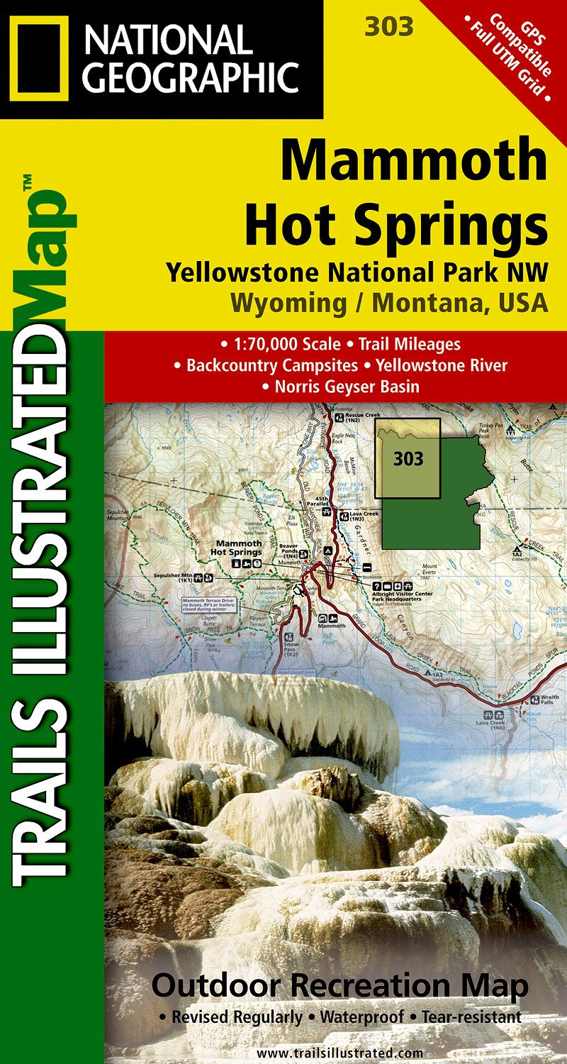
- Mammoth Hot Springs - Yellowstone National Park NW WY/MT
- Map No. 303, Yellowstone NW: Mammoth Hot Springs, WY/MT, in an extensive series of GPS compatible, contoured hiking maps of USA’s national and state parks or forests and other popular recreational areas. Cartography based on the national topographic survey, with additional tourist information.The maps, with most titles now printed on light,... Read more
- Also available from:
- De Zwerver, Netherlands
De Zwerver
Netherlands
Netherlands
- Wandelkaart - Topografische kaart 303 Mammoth Hot Springs Yellowstone National Park | National Geographic
- Prachtige geplastificeerde kaart van het nationaal park. Met alle recreatieve voorzieningen als campsites, maar ook met topografische details en wandelroutes ed. Door uitgekiend kleurgebruik zeer prettig in gebruik. Scheur en watervast! Coverage of the Old Faithful area of Yellowstone National Park includes Heart Lake BMA, Pitchstone Plateau,... Read more

De Zwerver
Netherlands
Netherlands
- Wegenkaart - landkaart Idaho, Montana & Wyoming | ITMB
- Idaho,Montana & Wyoming Travel Reference Map 1 : 1 000 000 ab 10.49 EURO International Travel Map ITM. 1st Edition Read more


Stanfords
United Kingdom
United Kingdom
- Yellowstone National Park WY/MT NGS Trails Illustrated Map 201
- Map No. 201, Yellowstone National Park, WY/MT, in an extensive series of GPS compatible, contoured hiking maps of USA’s national and state parks or forests and other popular recreational areas. Cartography based on the national topographic survey, with additional tourist information.The maps, with most titles now printed on light, waterproof... Read more
- Also available from:
- The Book Depository, United Kingdom
- Bol.com, Netherlands
- Bol.com, Belgium
- De Zwerver, Netherlands

The Book Depository
United Kingdom
United Kingdom
- Yellowstone National Park
- Trails Illustrated National Parks Read more

Bol.com
Netherlands
Netherlands
- Yellowstone National Park
- Waterproof Tear-Resistant Topographic MapNational Geographic's Trails Illustrated map of Yellowstone National Park is designed to meet the needs of outdoor enthusiasts by combining valuable information with unmatched detail of America's first national park. Expertly researched and created in partnership with local land management... Read more
Bol.com
Belgium
Belgium
- Yellowstone National Park
- Waterproof Tear-Resistant Topographic MapNational Geographic's Trails Illustrated map of Yellowstone National Park is designed to meet the needs of outdoor enthusiasts by combining valuable information with unmatched detail of America's first national park. Expertly researched and created in partnership with local land management... Read more

De Zwerver
Netherlands
Netherlands
- Wandelkaart - Topografische kaart 201 Trails Illustrated Yellowstone National Park | National Geographic
- Prachtige geplastificeerde kaart van het bekende nationaal park. Met alle recreatieve voorzieningen als campsites, maar ook met topografische details en wandelroutes ed. Door uitgekiend kleurgebruik zeer prettig in gebruik. Scheur en watervast! Detailed and accurate coverage for Yellowstone National Park. Includes a detailed road network and... Read more