Stanfords
United Kingdom
- Isle of Man 1921
- Map No. 95, Isle of Man 1925, in the Cassini Historical Series of old Ordnance Survey mapping of England and Wales at 1:50,000 in a format designed to offer a convenient comparison with the present day coverage from the OS, and most locations in three different editions. Old historical maps have been combined so that the sheet lines correspond... Read more

Stanfords
United Kingdom

Stanfords
United Kingdom
- 2000 Plus England: 254 Summits over 2000ft.
- The 2000 Plus map of England showing summits over 2000ft (609.6m), together with markings for subsidiary tops and minor summits, combining them into 16 groups listed with full details and presented with mountain profiles.The main map at 1:250,000 shows the Pennines, with three insets at 1:350,000 covering the Peak District, Dartmoor and the... Read more

Stanfords
United Kingdom
- Ordnance Survey Landranger Maps: Complete Set
- OS Landranger maps at 1:50 000 scale show all the main landscape features - roads, settlements, terrain and points of interest. This bundle covers the whole of Great Britain in a 204 map set, which includes the British Mainland, Scottish Islands and Isle of Man. Read more

Stanfords
United Kingdom
- Admiralty Chart 2696 - Plans in the Isle of Man
- NEW EDITION OUT ON 01/08/2019Plans included in this chart:A Douglas Bay 1:7,500B Ramsey Bay 1:10,000C Castletown Bay 1:20,000D Calf Sound 1:10,000E Peel 1:10,000F Port Erin 1:10,000G Bay Ny Carrickey 1:20,000Admiralty standard nautical charts comply with Safety of Life at Sea (SOLAS) regulations and are ideal for professional, commercial and... Read more

Stanfords
United Kingdom
Stanfords
United Kingdom
- Isle of Man 1874
- Map No. 95, Isle of Man 1874, in the Cassini Historical Series of old Ordnance Survey mapping of England and Wales at 1:50,000 in a format designed to offer a convenient comparison with the present day coverage from the OS, and most locations in three different editions. Old historical maps have been combined so that the sheet lines correspond... Read more

Stanfords
United Kingdom
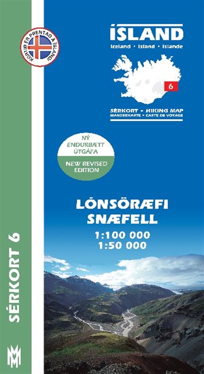
- Lónsöræfi - Snæfell
- Lónsöræfi - Snæfell area of Iceland at 1:100,000 in a series of detailed hiking and recreational topographic maps from Mál og menning - the country`s leading cartographic publishers, with beautiful drawings of local birds and tourist information. An enlargement shows the Snæfell area in greater detail at 1:50,000.The maps in this series... Read more