Stanfords
United Kingdom
De Zwerver
Netherlands
De Zwerver
Netherlands
2024
Stanfords
United Kingdom
2022
» Click to open
De Zwerver
Netherlands
2022
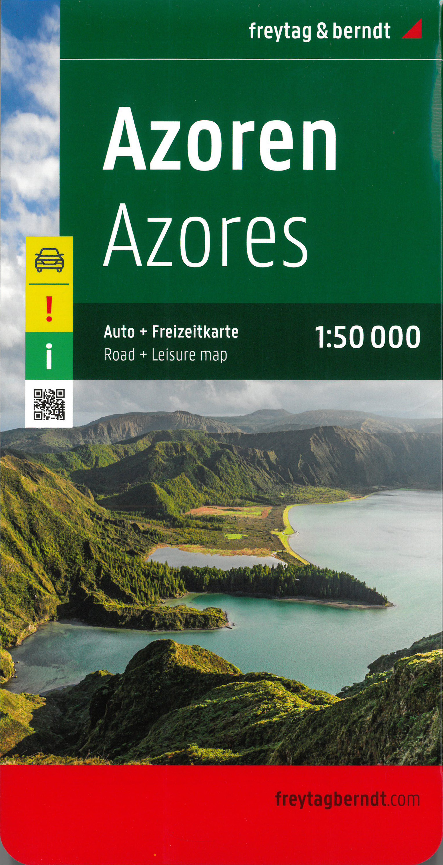
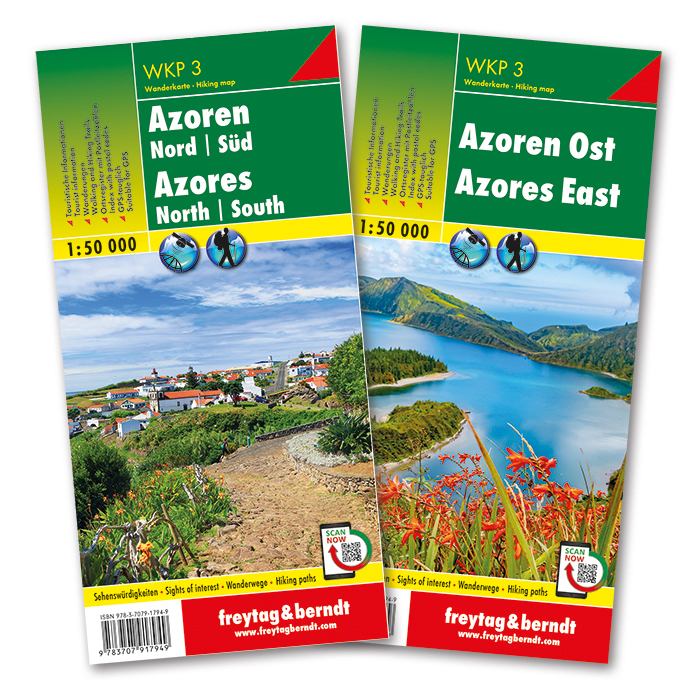
  • Wegenkaart - landkaart Azoren - Azores | Freytag & Berndt
  • This large double-sided road map of the Azores, at 1:50,000 from Freytag & Berndt, shows the islands both individually and as a group and comes with an attached index and concise leisure guide booklet. This map shows main and minor roads, motorways and toll roads, sections under construction or closed to traffic. Conveniently highlighted are... Read more
» Click to close
Stanfords
United Kingdom
2016
» Click to open
De Zwerver
Netherlands
2016
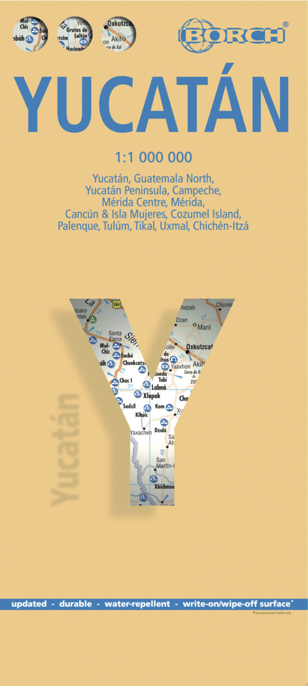
  • Wegenkaart - landkaart Yucatan | Borch
  • Yucatan at 1:1,000,00 from Borch on an indexed, laminated and waterproof map of the peninsula with street plans of its main towns, enlargements for the Maya Riviera and Cozumel, plus plans of major Maya sites. The main map covers the peninsula, extending westwards to Villahermosa and south to Belize City, with an inset at the same scale... Read more
» Click to close
Stanfords
United Kingdom
2019
» Click to open
Bol.com
Netherlands
2019
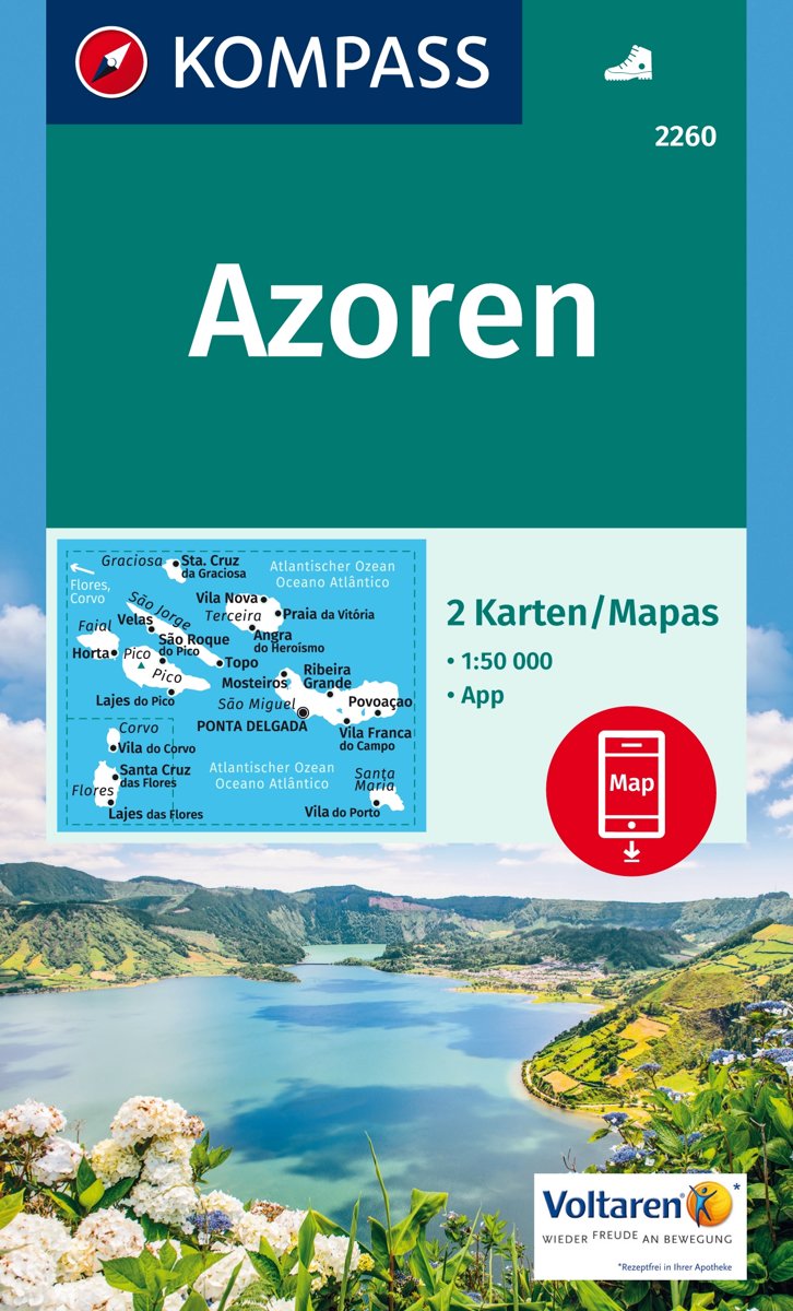
  • Azoren 1:50 000
  • . Die neun Azoren-Inseln gehören zu Portugal und liegen mitten im Atlantik - 1500 km von der Küste Portugals und 3500 km von Amerika entfernt; sie sind vulkanischen Ursprungs, wetterbedingt sehr grün und bieten ein gut markiertes Wandernetz.. Der Archipel besteht aus drei Inselgruppen - die östliche Gruppe mit Sao Miguel und Santa Maria, die... Read more
Bol.com
Belgium
2019
  • Azoren 1:50 000
  • . Die neun Azoren-Inseln gehören zu Portugal und liegen mitten im Atlantik - 1500 km von der Küste Portugals und 3500 km von Amerika entfernt; sie sind vulkanischen Ursprungs, wetterbedingt sehr grün und bieten ein gut markiertes Wandernetz.. Der Archipel besteht aus drei Inselgruppen - die östliche Gruppe mit Sao Miguel und Santa Maria, die... Read more
» Click to close
De Zwerver
Netherlands
2017
De Zwerver
Netherlands