Stanfords
United Kingdom
Stanfords
United Kingdom
Stanfords
United Kingdom
Stanfords
United Kingdom
Stanfords
United Kingdom
» Click to open
» Click to close
Stanfords
United Kingdom
2019
» Click to open
De Zwerver
Netherlands
2019
  • Fietskaart 34 Westhoek met Leiestreek-west (met knooppunten) | Falk
  • The southern part of the West Flanders province of Belgium including the WWI battlefields around Ypres (Ieper) at 1:50,000 in a series from Falk B.V. showing the network of signposted cycling routes on large, double-sided indexed maps with prominent highlighting of long-distance LF routes, symbols indicating accommodation and other tourist... Read more
» Click to close
De Zwerver
Netherlands
De Zwerver
Netherlands
De Zwerver
Netherlands
De Zwerver
Netherlands
De Zwerver
Netherlands
2021
Stanfords
United Kingdom
» Click to open
De Zwerver
Netherlands
» Click to close
Stanfords
United Kingdom
» Click to open
De Zwerver
Netherlands
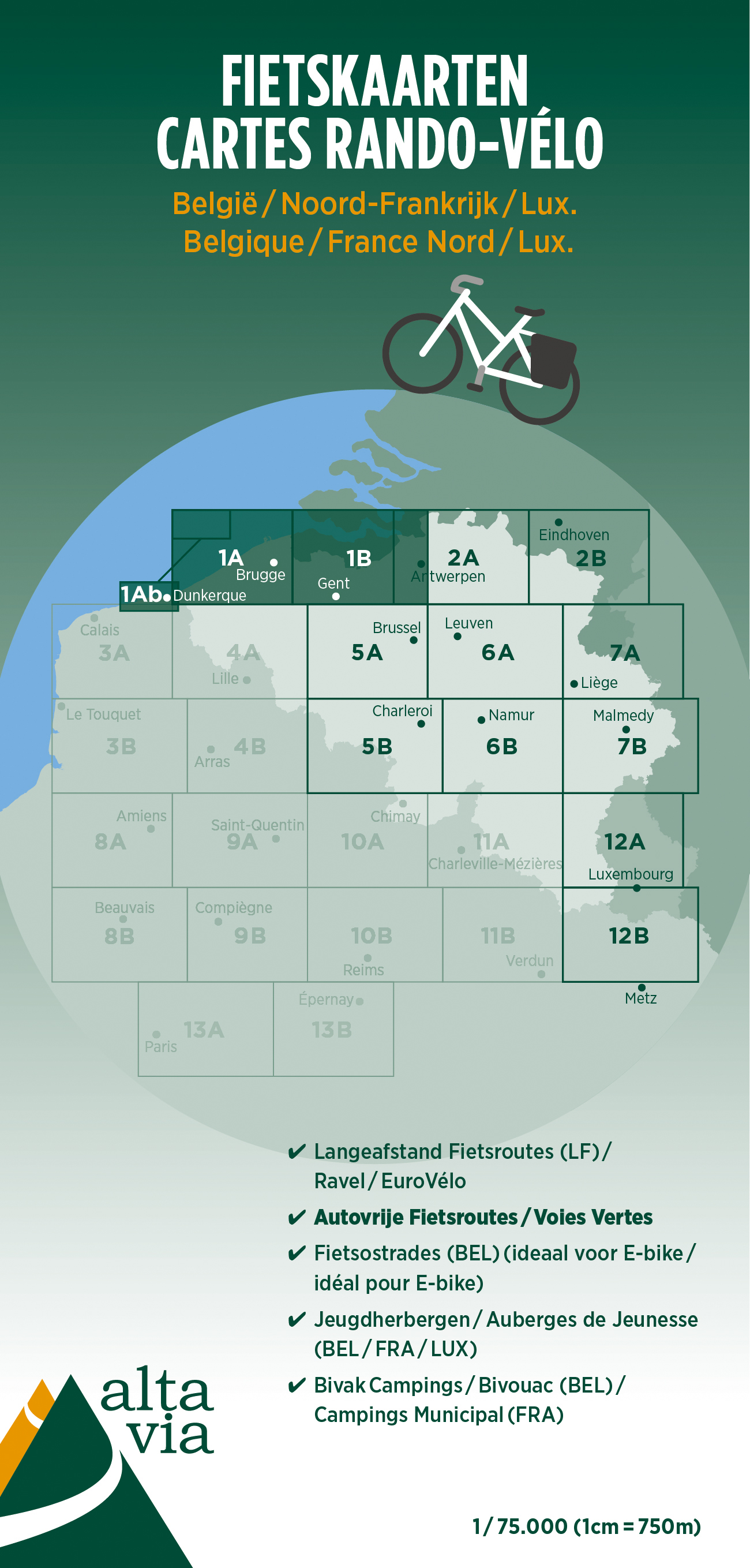
  • Fietskaart 1 Oost & West Vlaanderen | Alta Via
  • Alta Via`s topographical cycling maps emphasize car-free cycling routes or the so-called Voies Vertes (Green Routes), a cycling network that runs through Belgium and Luxembourg. All LF and Ravel cycle routes are included, supplemented with old railways and towpaths that have been transformed into bike paths. The map also lists all youth... Read more
» Click to close
De Zwerver
Netherlands
Bol.com
Netherlands
» Click to open
Bol.com
Belgium
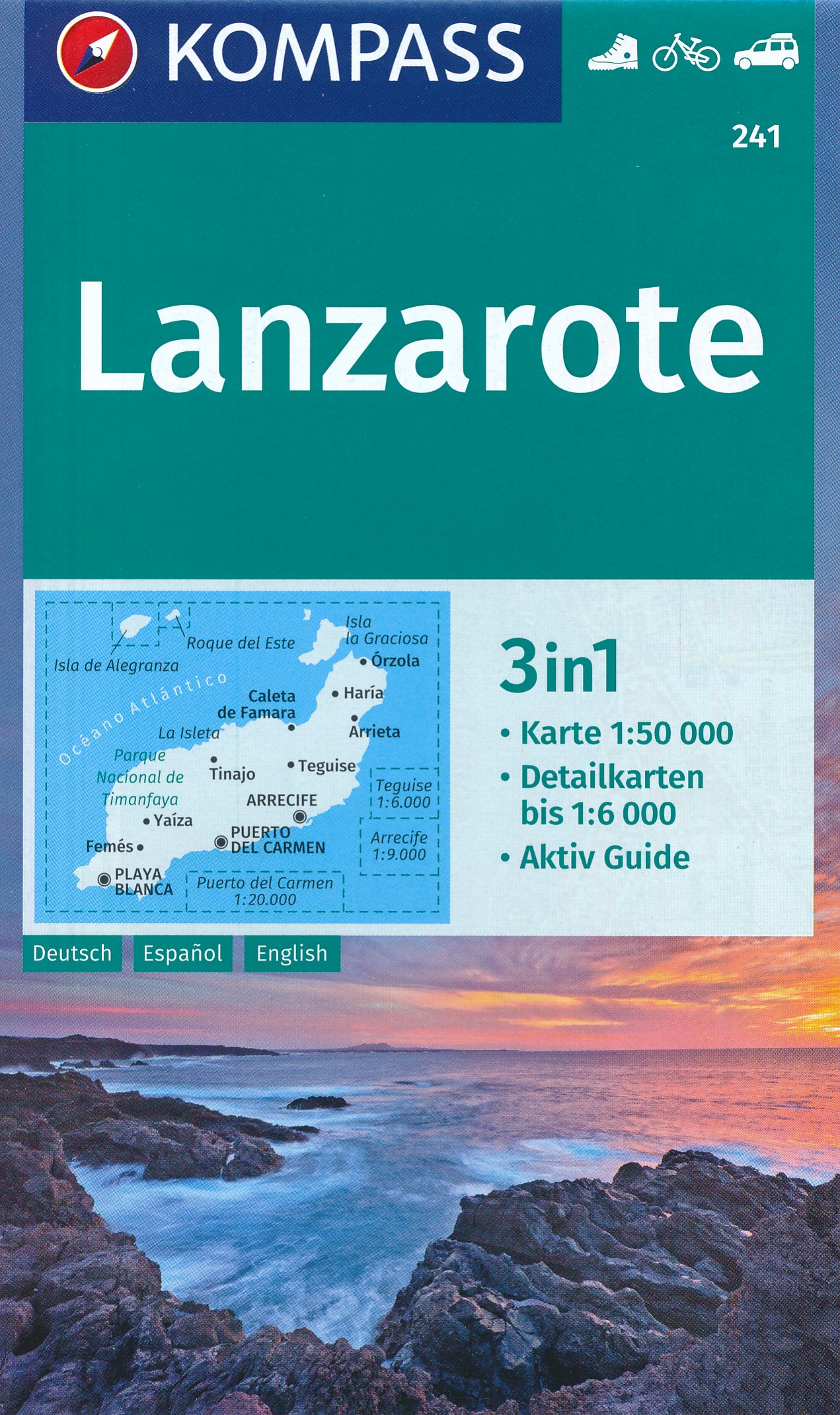
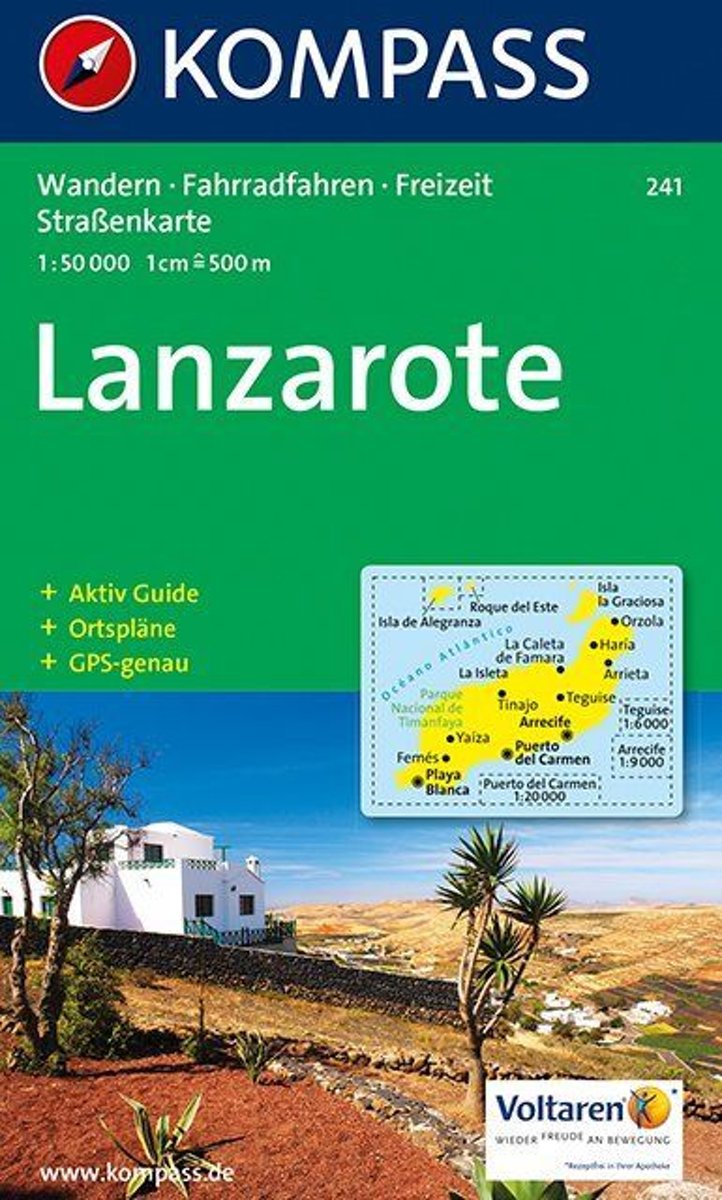
  • Lanzarote WK241
  • Toeristische kaart voor wandelen, fietsen en vrije tijd met activiteitengids en stadsplattegronden • goed leesbare schaal van 1:50 000 • te gebruiken met GPS • met praktische informatie over de regio • wandel- en fietspaden • aanbevolen routes • kastelen • uitzichtpunten • stranden en baaien • toeristische informatie • veel topografische... Read more
» Click to close