Stanfords
United Kingdom
Stanfords
United Kingdom
Stanfords
United Kingdom
Stanfords
United Kingdom
Stanfords
United Kingdom
Stanfords
United Kingdom
» Click to open
The Book Depository
United Kingdom
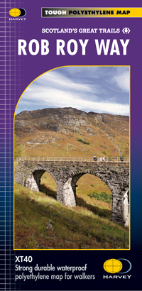
  • Rob Roy Way
  • Mooie, duidelijke kaart van de Rob Roy Way in Schotland. Geplastificeerd met veel extra informatie en uitsnedes van de route. One of Scotland's Great Trails Rob Roy Way is a walk across part of the Southern Highlands of Scotland taking in some of the most beautiful countryside in the UK. Starting from Drymen it goes north east to finish in... Read more
De Zwerver
Netherlands
  • Wandelkaart Rob Roy Way | Harvey Maps
  • Mooie, duidelijke kaart van de Rob Roy Way in Schotland. Geplastificeerd met veel extra informatie en uitsnedes van de route. One of Scotland's Great Trails Rob Roy Way is a walk across part of the Southern Highlands of Scotland taking in some of the most beautiful countryside in the UK. Starting from Drymen it goes north east to finish in... Read more
» Click to close
Stanfords
United Kingdom
» Click to open
The Book Depository
United Kingdom
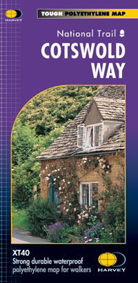
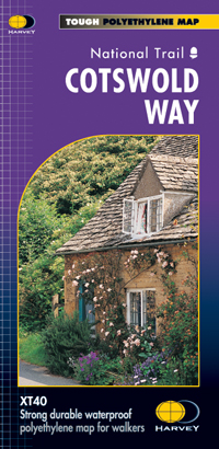
  • Cotswold Way
  • The Cotswold Way, a 164km / 102 mile National Trail from Chipping Campden in the north to Bath in the south, presented at 1:40,000 on a light, waterproof and tear-resistant map from Harvey Map Services. The route is shown on nine panels, with additional small street plans of Chipping Campden and Bath.Maps in the Harvey Read more
De Zwerver
Netherlands
  • Wandelkaart Cotswold Way | Harvey Maps
  • The Cotswold Way, a 164km / 102 mile National Trail from Chipping Campden in the north to Bath in the south, presented at 1:40,000 on a light, waterproof and tear-resistant map from Harvey Map Services. The route is shown on nine panels, with additional small street plans of Chipping Campden and Bath.Maps in the Harvey Read more
» Click to close
Stanfords
United Kingdom
» Click to open
The Book Depository
United Kingdom
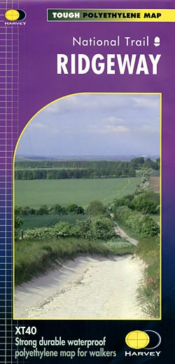
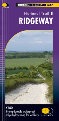
  • Ridgeway
  • The Ridgway, a 139km / 87 mile national trail from Overton Hill in Wiltshire to Ivinghoe Beacon in Buckinghamshire, presented at 1:40,000 on a light, waterproof and tear-resistant map from Harvey Map Services. The route is shown on six overlapping panels.Maps in the Harvey Read more
De Zwerver
Netherlands
  • Wandelkaart - Fietskaart Ridgeway | Harvey Maps
  • The Ridgway, a 139km / 87 mile national trail from Overton Hill in Wiltshire to Ivinghoe Beacon in Buckinghamshire, presented at 1:40,000 on a light, waterproof and tear-resistant map from Harvey Map Services. The route is shown on six overlapping panels.Maps in the Harvey Read more
» Click to close
Stanfords
United Kingdom
» Click to open
The Book Depository
United Kingdom
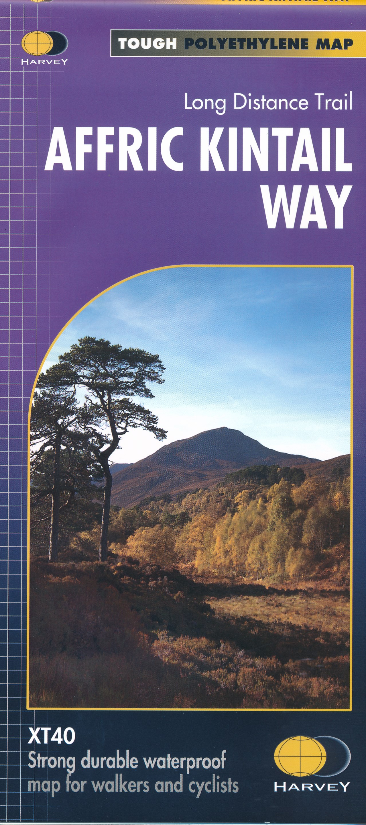
  • Affric Kintail Way
  • The Affric Kintail Way in Scotland, a 71km / 44 mile long-distance trail leading westwards from Drumnadrochit by Loch Ness to Morvich in Kintail by Loch Duich, presented at 1:40,000 on a light, waterproof and tear-resistant map from Harvey Map Services. The route is shown on four panels.Maps in the Harvey Read more
De Zwerver
Netherlands
  • Wandelkaart Affric Kintail Way | Harvey Maps
  • The Affric Kintail Way in Scotland, a 71km / 44 mile long-distance trail leading westwards from Drumnadrochit by Loch Ness to Morvich in Kintail by Loch Duich, presented at 1:40,000 on a light, waterproof and tear-resistant map from Harvey Map Services. The route is shown on four panels.Maps in the Harvey Read more
» Click to close
Stanfords
United Kingdom
» Click to open
The Book Depository
United Kingdom
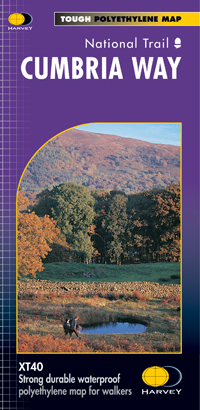
  • Cumbria Way
  • Cumbria Way, a 112km / 70 mile route liking Ulverston and Carlisle across the heart of the Lake District, presented at 1:40,000 on a light, waterproof and tear-resistant map from Harvey Map Services. The route is shown on five overlapping panels, with additional street plans of Carlisle, Keswick, and Ulverston.Maps in the Harvey Read more
De Zwerver
Netherlands
  • Wandelkaart Cumbria Way | Harvey Maps
  • Cumbria Way, a 112km / 70 mile route liking Ulverston and Carlisle across the heart of the Lake District, presented at 1:40,000 on a light, waterproof and tear-resistant map from Harvey Map Services. The route is shown on five overlapping panels, with additional street plans of Carlisle, Keswick, and Ulverston.Maps in the Harvey Read more
» Click to close
Stanfords
United Kingdom
» Click to open
The Book Depository
United Kingdom
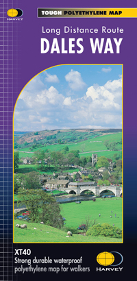
  • Dales Way
  • The Dales Way, a 135km / 85 mile route in the Yorkshire Dales and the Lake District National Parks, presented at 1:40,000 on a map from Harvey Map Services. The route itself, between Ilkley and Bowness-on-Windermere, is shown on six panels, with additional three panels covering the access to the start of the Dales Way in Ilkley from Leeds,... Read more
De Zwerver
Netherlands
  • Wandelkaart Dales Way | Harvey Maps
  • The Dales Way, a 135km / 85 mile route in the Yorkshire Dales and the Lake District National Parks, presented at 1:40,000 on a map from Harvey Map Services. The route itself, between Ilkley and Bowness-on-Windermere, is shown on six panels, with additional three panels covering the access to the start of the Dales Way in Ilkley from Leeds,... Read more
» Click to close
Stanfords
United Kingdom
2013
» Click to open
The Book Depository
United Kingdom
2013
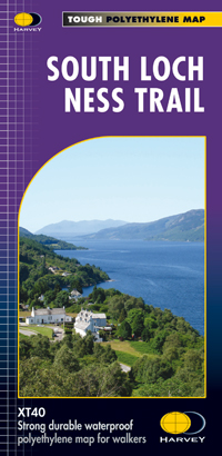
  • South Loch Ness Trail
  • The South Loch Ness Trail, a 45km / 28 mile long hiking route from Loch Tarff near Fort Augustus on the southern tip of Loch Ness to Torbreck on the outskirts of Inverness at 1:40,000 on GPS compatible, light, waterproof and tear-resistant map from Harvey Map Services. The map also highlights the course of the Trail of the 7 Lochs, an 80km / 50... Read more
De Zwerver
Netherlands
2013
  • Wandelkaart South Loch Ness Trail | Harvey Maps
  • The South Loch Ness Trail, a 45km / 28 mile long hiking route from Loch Tarff near Fort Augustus on the southern tip of Loch Ness to Torbreck on the outskirts of Inverness at 1:40,000 on GPS compatible, light, waterproof and tear-resistant map from Harvey Map Services. The map also highlights the course of the Trail of the 7 Lochs, an 80km / 50... Read more
» Click to close
Stanfords
United Kingdom
2019
» Click to open
The Book Depository
United Kingdom
2019
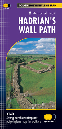
  • Hadrian's Wall
  • Een bijzonder handige kaart van dit lange-afstands-wandelpad. Op waterafstotend papier met veel details. Het enige dat je eigenlijk een beetje mist is een overzicht. Verder uitstekend en voldoende voor de route. Compact and light - the map itself weighs just 60gms - a third of the weight of a laminated map, and much less bulky. And you can fold... Read more
De Zwerver
Netherlands
2019
  • Wandelkaart Hadrian's Wall | Harvey Maps
  • Een bijzonder handige kaart van dit lange-afstands-wandelpad. Op waterafstotend papier met veel details. Het enige dat je eigenlijk een beetje mist is een overzicht. Verder uitstekend en voldoende voor de route. Compact and light - the map itself weighs just 60gms - a third of the weight of a laminated map, and much less bulky. And you can fold... Read more
» Click to close
Stanfords
United Kingdom
» Click to open
The Book Depository
United Kingdom
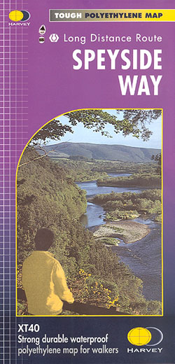
  • Speyside Way
  • Speyside Way, a 123km / 77 miles trail between Buckie on the Moray coast and Aviemore in the Cairngorms National Park or alternatively to Tomintoul, presented at 1:40,000 on a light, waterproof and tear-resistant map from Harvey Map Services. The whole route is covered on five overlapping panels, with small street plans of Buckie, Charlestown... Read more
De Zwerver
Netherlands
  • Wandelkaart Speyside Walk (Schotland) | Harvey Maps
  • Speyside Way, a 123km / 77 miles trail between Buckie on the Moray coast and Aviemore in the Cairngorms National Park or alternatively to Tomintoul, presented at 1:40,000 on a light, waterproof and tear-resistant map from Harvey Map Services. The whole route is covered on five overlapping panels, with small street plans of Buckie, Charlestown... Read more
» Click to close
Stanfords
United Kingdom
» Click to open
The Book Depository
United Kingdom
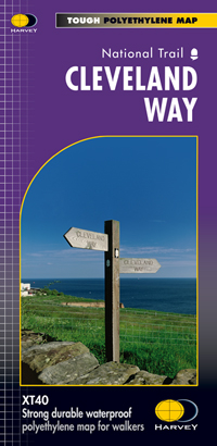
  • Cleveland Way
  • Mooie, duidelijke kaart van de Cleveland Way in Noord-Engeland. Geplastificeerd met veel extra informatie en uitsnedes van de route. Leap forward in technical excellence. Tough, light and 100% waterproof Compact and light - the map itself weighs just 60gms - a third of the weight of a laminated map, and much less bulky. And you can fold or... Read more
De Zwerver
Netherlands
  • Wandelkaart Cleveland Way | Harvey Maps
  • Mooie, duidelijke kaart van de Cleveland Way in Noord-Engeland. Geplastificeerd met veel extra informatie en uitsnedes van de route. Leap forward in technical excellence. Tough, light and 100% waterproof Compact and light - the map itself weighs just 60gms - a third of the weight of a laminated map, and much less bulky. And you can fold or... Read more
» Click to close