Stanfords
United Kingdom
United Kingdom
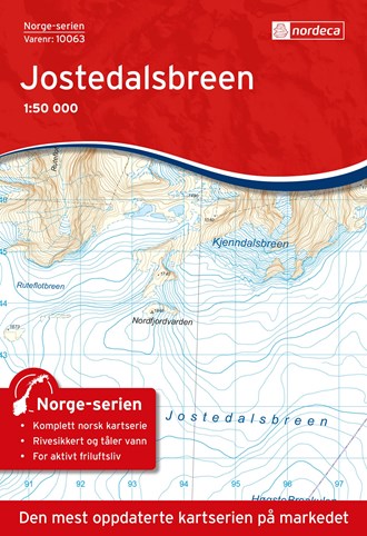
- Jostedalsbreen Nordeca 10063
- Map No. 10062, Sandane, in the new topographic survey of Norway at 1:50,000 covering the country on 195 double-sided sheets and first published by Nordeca in 2011 - 2012; fully GPS compatible, indicating waymarked footpaths, campsites, tourist huts, illuminated ski runs, etc.The maps, now published by Nordeca, the successors to Statens Kartverk... Read more