Stanfords
United Kingdom
Stanfords
United Kingdom
Stanfords
United Kingdom
Stanfords
United Kingdom
Stanfords
United Kingdom
Stanfords
United Kingdom
Stanfords
United Kingdom
Stanfords
United Kingdom
» Click to open
Bol.com
Netherlands
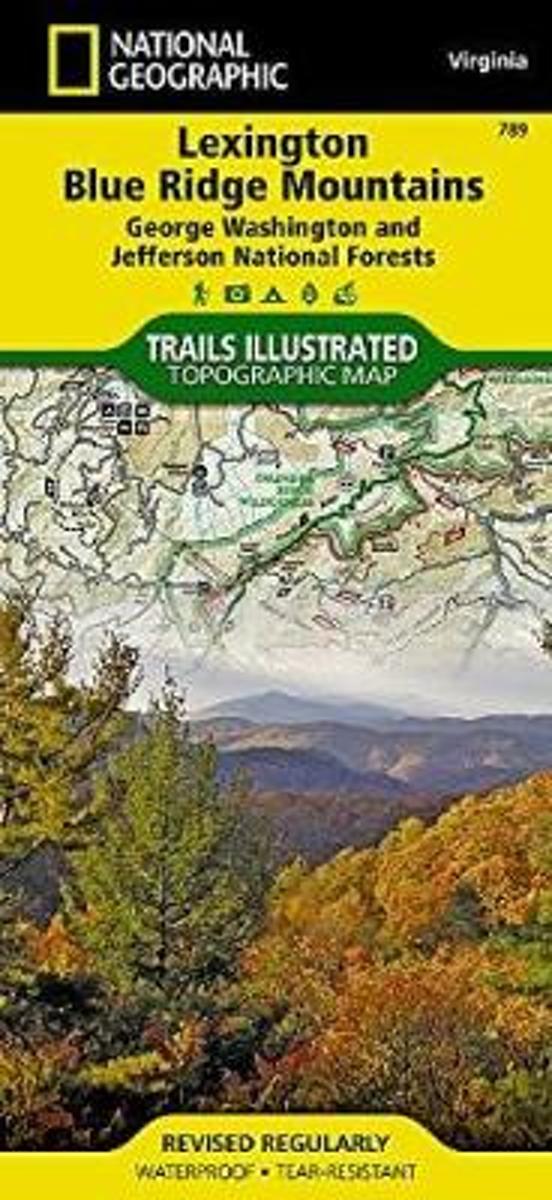
  • Lexington/blue Ridge, G.w. & Jefferson National Forests
  • • Waterproof • Tear-Resistant • Topographic MapCoverage includes George Washington and Jefferson National Forest. Towns: Lexington, Buena Vista, Waynesboro, Bedford, Blue Ridge. Wilderness Areas: The Priest, Three Ridges, Saint Mary's, Thunder Ridge, James River Face. Major Trails: Appalachian National Scenic Trail, Glenwood Horse Trail. Other... Read more
Bol.com
Belgium
  • Lexington/blue Ridge, G.w. & Jefferson National Forests
  • • Waterproof • Tear-Resistant • Topographic MapCoverage includes George Washington and Jefferson National Forest. Towns: Lexington, Buena Vista, Waynesboro, Bedford, Blue Ridge. Wilderness Areas: The Priest, Three Ridges, Saint Mary's, Thunder Ridge, James River Face. Major Trails: Appalachian National Scenic Trail, Glenwood Horse Trail. Other... Read more
» Click to close
Stanfords
United Kingdom
» Click to open
Bol.com
Netherlands
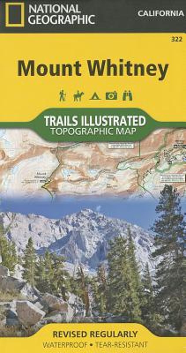
  • Mount Whitney
  • • Waterproof • Tear-Resistant • Topographic MapMount Whitney is universally famous as the highest mountain in the United State outside of Alaska, as well as the highest point in California. National Geographic's Trails Illustrated map of Mount Whitney is a two-sided, waterproof map designed to meet the needs of Whitney visitors with unmatched... Read more
Bol.com
Belgium
  • Mount Whitney
  • • Waterproof • Tear-Resistant • Topographic MapMount Whitney is universally famous as the highest mountain in the United State outside of Alaska, as well as the highest point in California. National Geographic's Trails Illustrated map of Mount Whitney is a two-sided, waterproof map designed to meet the needs of Whitney visitors with unmatched... Read more
» Click to close
De Zwerver
Netherlands
De Zwerver
Netherlands
Stanfords
United Kingdom
» Click to open
De Zwerver
Netherlands
» Click to close
Stanfords
United Kingdom
» Click to open
The Book Depository
United Kingdom
Bol.com
Netherlands
  • Sequoia/kings Canyon National Park
  • Waterproof Tear-Resistant Topographic MapIn Sequioa and Kings Canyon National Parks you can walk among the world's largest trees, hike the alpine landscape of the Sierra Crest, and marvel at the towering granite cliffs of one of the deepest canyons in the United States. National Geographic's Trails Illustrated map of Sequoia and Kings... Read more
Bol.com
Belgium
  • Sequoia/kings Canyon National Park
  • Waterproof Tear-Resistant Topographic MapIn Sequioa and Kings Canyon National Parks you can walk among the world's largest trees, hike the alpine landscape of the Sierra Crest, and marvel at the towering granite cliffs of one of the deepest canyons in the United States. National Geographic's Trails Illustrated map of Sequoia and Kings... Read more
De Zwerver
Netherlands
» Click to close
De Zwerver
Netherlands
Stanfords
United Kingdom
» Click to open
Bol.com
Netherlands
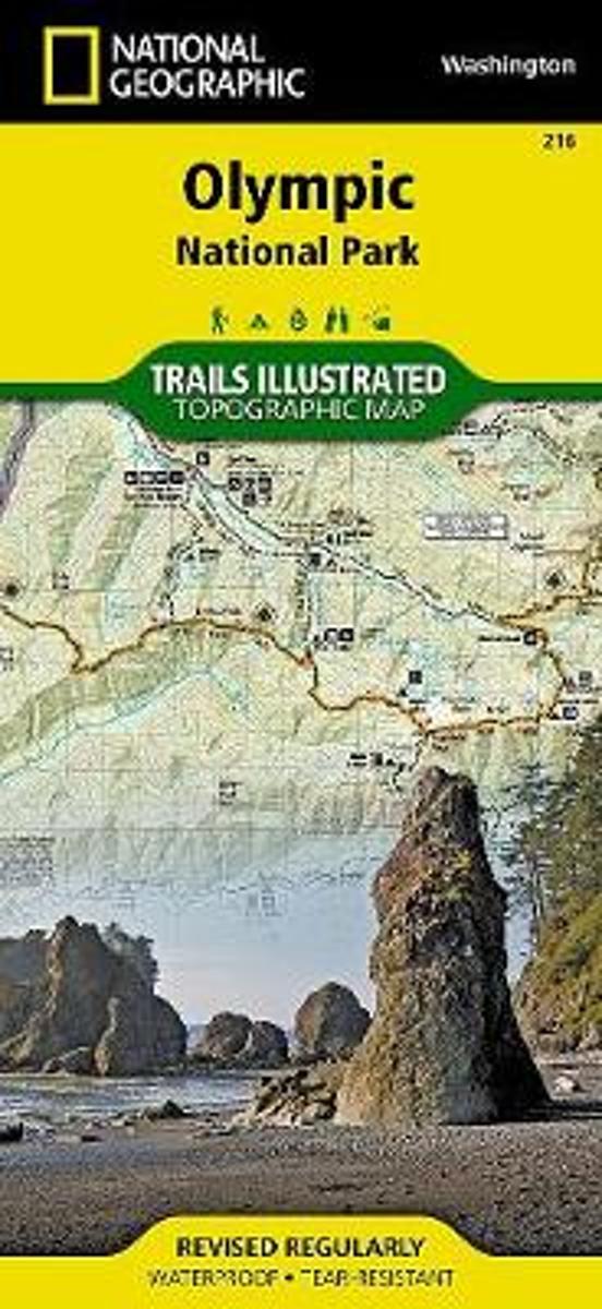
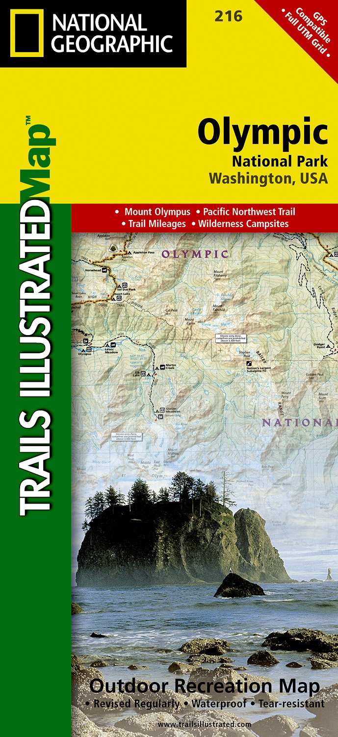
  • Olympic National Park
  • • Waterproof • Tear-Resistant • Topographic MapOlympic National Park encompasses four distinctly different ecosystems in its nearly one million acres. National Geographic's Trails Illustrated map of Olympic National Park offers outdoors enthusiasts a valuable tool for exploring the park's old-growth forests, glaciers, untamed rivers, and rugged... Read more
Bol.com
Belgium
  • Olympic National Park
  • • Waterproof • Tear-Resistant • Topographic MapOlympic National Park encompasses four distinctly different ecosystems in its nearly one million acres. National Geographic's Trails Illustrated map of Olympic National Park offers outdoors enthusiasts a valuable tool for exploring the park's old-growth forests, glaciers, untamed rivers, and rugged... Read more
De Zwerver
Netherlands
  • Wandelkaart 216 Olympic National Park | National Geographic
  • Prachtige geplastificeerde kaart van het bekende nationaal park. Met alle recreatieve voorzieningen als campsites, maar ook met topografische details en wandelroutes ed. Door uitgekiend kleurgebruik zeer prettig in gebruik. Scheur en watervast! Within the park, there is detailed coverage of Mount Olympus, Tshletshy Ridge, Hurrican Ridge,... Read more
» Click to close