Stanfords
United Kingdom
2011
United Kingdom
2011
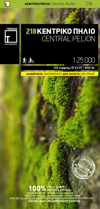
- Pelion Central Terrain Editions 218
- The central part of Pelion at 1:25,000 in an expanding series of maps from the Terrain Editions with information for hiking, biking, rock climbing, canyoning and trail running, printed on light, waterproof and tear-resistant plastic paper. The map covers an area extending from Volos to the other coastline, from Zaghora on the north- east to... Read more
- Also available from:
- De Zwerver, Netherlands
De Zwerver
Netherlands
2011
Netherlands
2011
- Wandelkaart 218 Central Pelion | Terrain maps
- The central part of Pelion at 1:25,000 in an expanding series of maps from the Terrain Editions with information for hiking, biking, rock climbing, canyoning and trail running, printed on light, waterproof and tear-resistant plastic paper. The map covers an area extending from Volos to the other coastline, from Zaghora on the north- east to... Read more