Stanfords
United Kingdom
Stanfords
United Kingdom
Stanfords
United Kingdom
Stanfords
United Kingdom
Stanfords
United Kingdom
Stanfords
United Kingdom
Stanfords
United Kingdom
Stanfords
United Kingdom
Stanfords
United Kingdom
» Click to open
» Click to close
Stanfords
United Kingdom
2013
Stanfords
United Kingdom
Stanfords
United Kingdom
2018
» Click to open
De Zwerver
Netherlands
2018
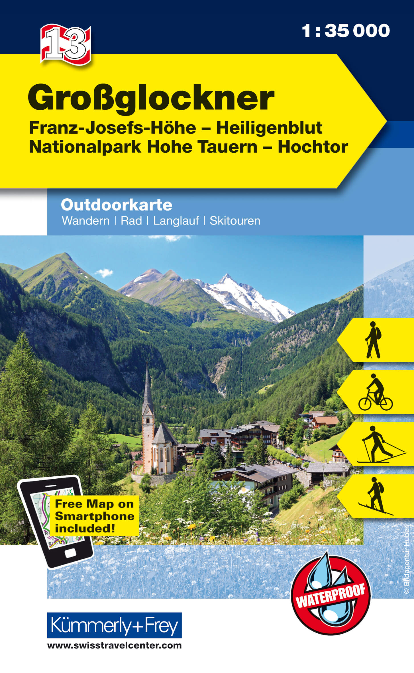
  • Wandelkaart 13 Outdoorkarte AT Grossglockner | Kümmerly & Frey
  • Grossglockner - Franz-Josefs-Hohe - Heiligenblut - Hohe Tauern NP - Hochtor area of the Tyrol at 1:35,000 on a GPS compatible, double-sided map from Kümmerly+Frey printed on sturdy, waterproof and tear-resistant synthetic paper; contoured, with hiking, cycling and ski routes, accommodation facilities, locations for other recreational... Read more
» Click to close
Stanfords
United Kingdom
» Click to open
De Zwerver
Netherlands
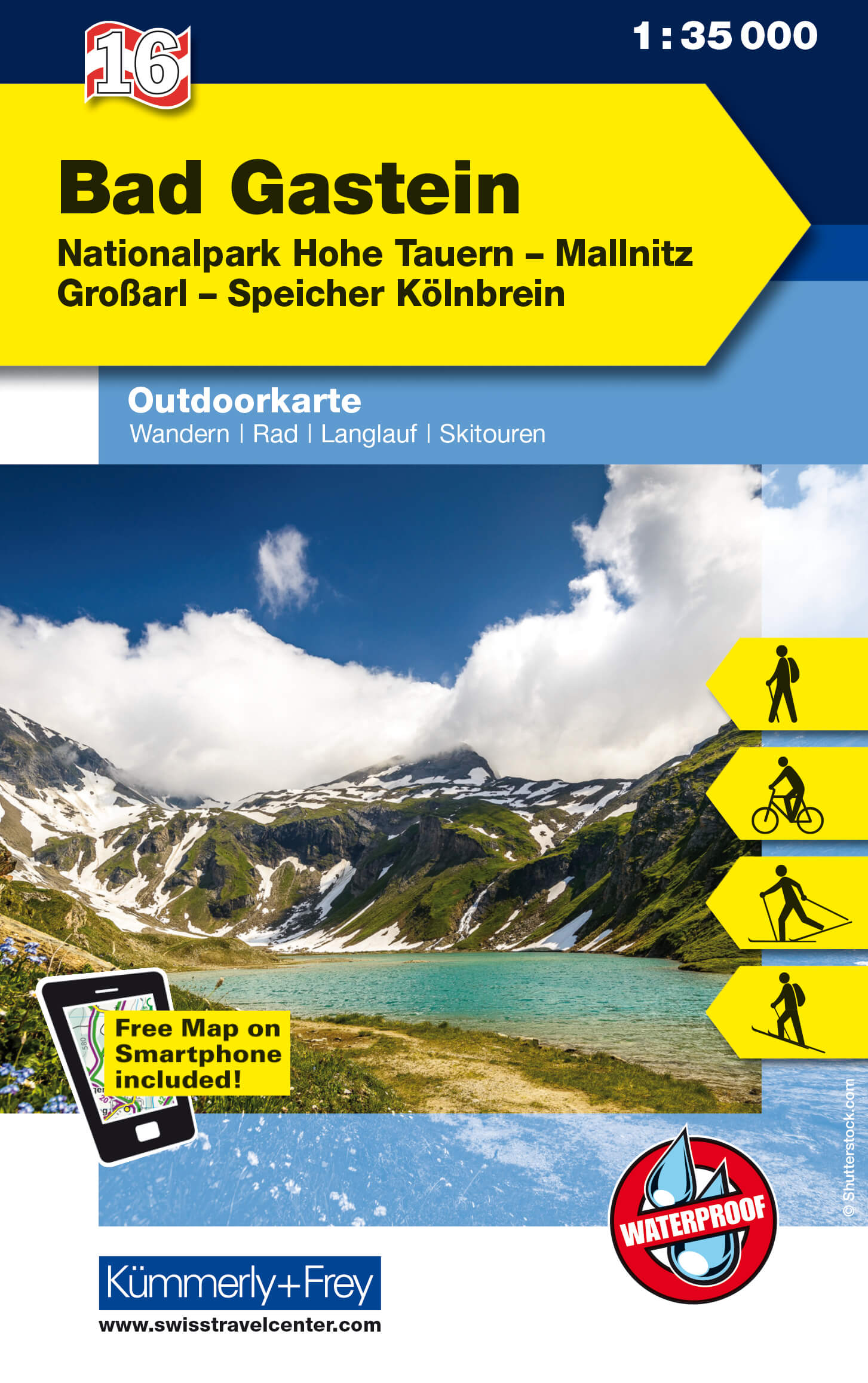
  • Wandelkaart 16 Outdoorkarte AT Bad Gastein | Kümmerly & Frey
  • Bad Gastein area of the Tyrol at 1:35,000 on a GPS compatible, double-sided map from Kümmerly+Frey printed on sturdy, waterproof and tear-resistant synthetic paper; contoured, with hiking, cycling and ski routes, accommodation facilities, locations for other recreational activities, etc.Maps in the K+F recreational series covering the Austrian... Read more
» Click to close
Stanfords
United Kingdom
Stanfords
United Kingdom
» Click to open
The Book Depository
United Kingdom
  • Grossvenediger - Oberpinzgau Hiking + Leisure Map 1:50 000
  • Grossvenediger - Oberpinzgau area of the Austrian Alps presented at 1:50,000 in a series of contoured and GPS compatible outdoor leisure map from Freytag & Berndt with hiking and cycling routes, mountain huts, campsites and youth hostels, local bus stops, plus other tourist information.To see the list of currently available titles in this... Read more
» Click to close