Togo
Description

Squeezed in between Ghana and Benin lies the long and narrow West African country of Togo. North and south of Togo are relatively flat savanna and coastal plains. The centre of Togo is hilly, with a series of ranges lying in a roughly northeast-southwest direction. Highest mountain is Mount Agou (986 m) in the southwest of the country, with a footpath leading to the top. Another mountain to explore on foot is Mount Kloto (960 m), covered in tropical forests, also in the southwest. Further north are the national parks of Fazao-Malfakassa, Kéran and Fosse aux Lions, although hiking trails appear to be non-existent there.
Being a tropical country, the climate is warm year round.
Regions
Mountains
Links
Facts
Reports
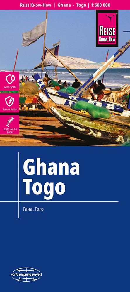
Guides and maps
Lodging
Organisations
Tour operators
GPS
Other
Books

Bol.com
Netherlands
2013
Netherlands
2013
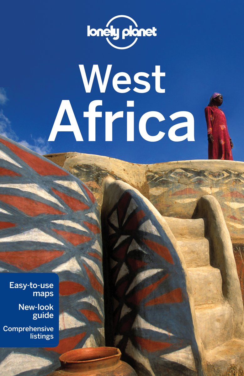
- Lonely Planet West Africa
- Lonely Planet West Africa is your passport to all the most relevant and up-to-date advice on what to see, what to skip, and what hidden discoveries await you. Experience the culture of Dakar or Marrakesh, visit the gorges and oases of the Sahara, or hike to paradise on Santo Antao in Cape Verde; all with your trusted travel companion. Get to... Read more
- Also available from:
- Bol.com, Belgium
Bol.com
Belgium
2013
Belgium
2013
- Lonely Planet West Africa
- Lonely Planet West Africa is your passport to all the most relevant and up-to-date advice on what to see, what to skip, and what hidden discoveries await you. Experience the culture of Dakar or Marrakesh, visit the gorges and oases of the Sahara, or hike to paradise on Santo Antao in Cape Verde; all with your trusted travel companion. Get to... Read more
More books…

Maps

Stanfords
United Kingdom
United Kingdom
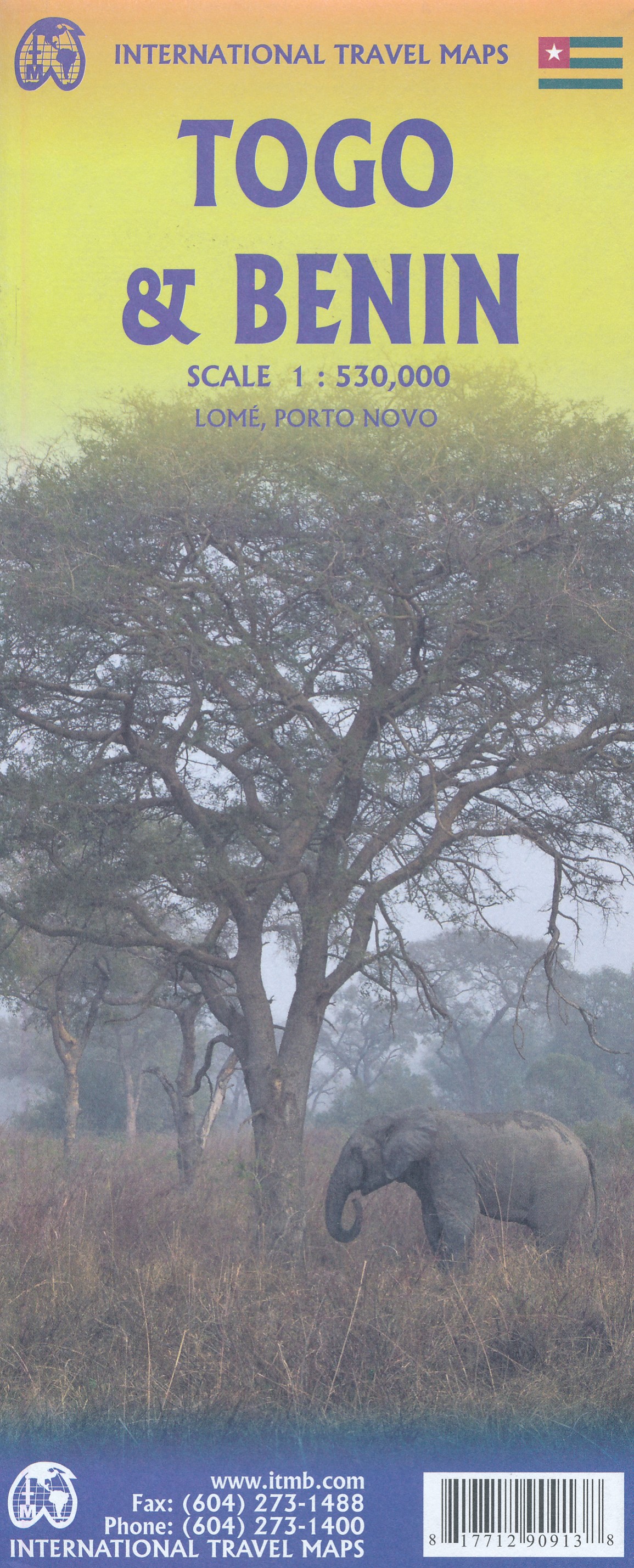
- Admiralty Chart 1392 - Ports and Anchorages in Togo and Benin
- Plans included in this chart:Port de Lome 1:15,000Lome to Kpeme 1:75,000Rade de Kpeme 1:25,000Port de Cotonou 1:15,000Cotonou to Seme-Kpodji 1:75,000Admiralty standard nautical charts comply with Safety of Life at Sea (SOLAS) regulations and are ideal for professional, commercial and recreational use. Charts within the series consist of a range... Read more
More maps…