
Bangladesh
Description

Bangladesh is located at the northeastern tip of India and borders on Burma (Myanmar). Towards the south it faces the Bay of Bengal. The landscape of Bangladesh is largely defined by the enormous river delta formed by the confluence of the Ganges, Brahmaputra and more than 50 other rivers emptying into the Bay of Bengal. As a result Bangladesh is mostly low, flat and frequently flooded due to rainfall, tidal waves and tropical cyclones.
The only truly higher ground is in the southeast of Bangladesh, in the Chittagong Hill Tracts, a series of roughly 4 parallel narrow hill ranges, with ravines and cliffs covered in dense jungle. Which mountain is Bangladesh's highest is a matter of some dispute. In any case, peaks like Keokradong, Tahjingdong, Mowdok Mual and Sippi Arsuang are all in the 800-1100 m range, and all part of the Chittogarh Hill Tracts. There are several trails and treks in the area, but to enter you need a special permit.
South of Chittagong on the coast lies Cox's Bazar with its 122 km long uninterrupted beach. You can do a 85 km beach hike from Cox's Bazar to Teknaf. There are also several islands off the coast of Chittagong and Cox's Bazar, which offer day-hike opportunities.
Hiking in Bangladesh is possible all year round, but to avoid the humid heat, go between November and March.
Trails
Regions
Mountains
Links
Facts
Reports
Guides and maps
Lodging
Organisations
Tour operators
GPS
Other
Books
Maps
Netherlands
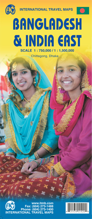
- Wegenkaart - landkaart Bangladesh & India oost | ITMB
- Bangladesh 1 : 750 000 / India East 1 : 1 500 000 ab 10.49 EURO 2nd edition Read more
Netherlands
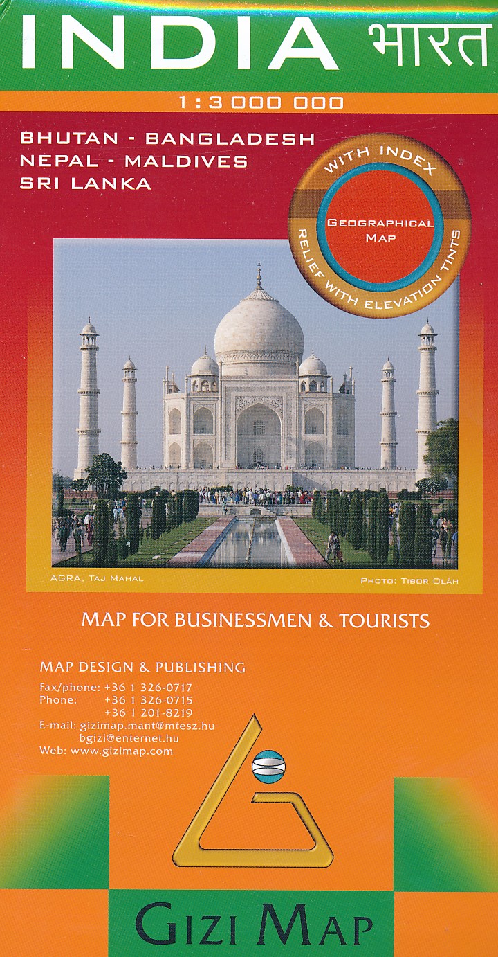
- Wegenkaart - landkaart India | Gizi Map
- India Geographical Map 1 : 3 000 000 ab 11.95 EURO Bhutan, Bangladesh, Nepal, Maledives, Sri Lanka. Map for Businessmen & Tourists. With index. Relief Gizi Map. Neuauflage Read more
Netherlands
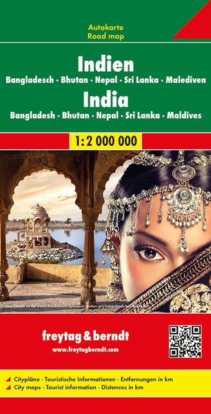
- Wegenkaart - landkaart India - Nepal - Bangladesh - Bhutan - Sri Lanka | Freytag & Berndt
- Indien - Bangladesch . Bhutan . Nepal Sri Lanka . Malediven, Autokarte 1:2.000.000 ab 10.9 EURO Freytag & Berndt Autokarte. Neuauflage Read more