
China
Description

To say China is vast and varied in all respects, is nothing less than an understatement. Climate varies from continental to temperate to subtropical. Landscapes range from relatively low plains and ranges in the east and southeast, to high mountains and plateaus as you move west, culminating in the Tibetan Himalaya and the world's highest: Mount Everest (8848 m). Further to the north and northwest you will encounter merciless deserts like the Gobi and Taklamakan, and more high mountain ranges such as the remote Kunlun, Tianshan and Pamir.
Mighty rivers like the Yangtze (Chang Jiang) and Yellow River (Huang He) flow down from the west through ever more populated areas to find their way into the East and South China Seas. Other famous rivers such as the Mekong (known in China as Lancang), the Brahmaputra and the Indus rivers originate on the Tibetan plateau, and eventually flow south towards the Bay of Bengal and the Indian Ocean. Without exception these rivers have helped create spectacular mountain landscapes, gorges and isolated valleys, making for wonderful hiking and exploring.
Is hiking a popular Chinese passtime? Long distance hiking as such may not be, but pilgrimages up the so-called Sacred Mountains, be it Taoist or Buddhist, definitely are a Chinese favorite. Countless Chinese, old and young alike, are seen scrambling up the slopes of mountains such as Emeishan, Taishan and Huashan. The same goes for mountains famed as inspiration for poets and painters, such as Huangshan. Hiking famous Chinese mountains often means climbing seemingly endless flights of stairs. Be prepared to share the paths with many, many others, and if lucky you are rewarded with breathtaking views.
A challenge popular with foreigners is hiking the Great Wall, usually as a 1- to 7-day hike along more or less intact Great Wall sections near Beijing. Others go for what is considered full length, all the way from Jiayuguan in the west to Laolongtou, the Old Dragon's Head sticking out into the Yellow Sea in the east near Shanhaiguan pass. Completing this full length hike will take you many months, covering a distance of at least 4000 km. With no real provisions for hikers along the way, it requires serious planning and preparation. Not nearly as popular, but a nonetheless interesting venture is retracing the legendary Long March by Mao Zedong and his Red Army. We have included the Great Wall and the Long March under Trails.
Several regions deserve special mention for hiking: the reasonably accessible mountains and valleys of Sichuan and Yunnan provinces, and likewise the minority areas of Guizhou and Guangxi provinces. For the more tough and adventurous: the remote Kunlun and Muztag Ata mountains of Xinjiang province near Kashgar and Kalakuli lake, the Pamir (Congling) mountains in the west of Xinjiang on the border with Kyrgyzstan and Tajikistan, the Tianshan (Heavenly) mountains in the northwest of Xinjiang province, and last but not least: Tibet with it's most famous hike and pilgrimage trail around Mount Kailash, and so much more...
Trails
Regions
Mountains
Links
Facts
Reports
Guides and maps
Lodging
Organisations
Tour operators
GPS
Other
Books


United Kingdom
2014
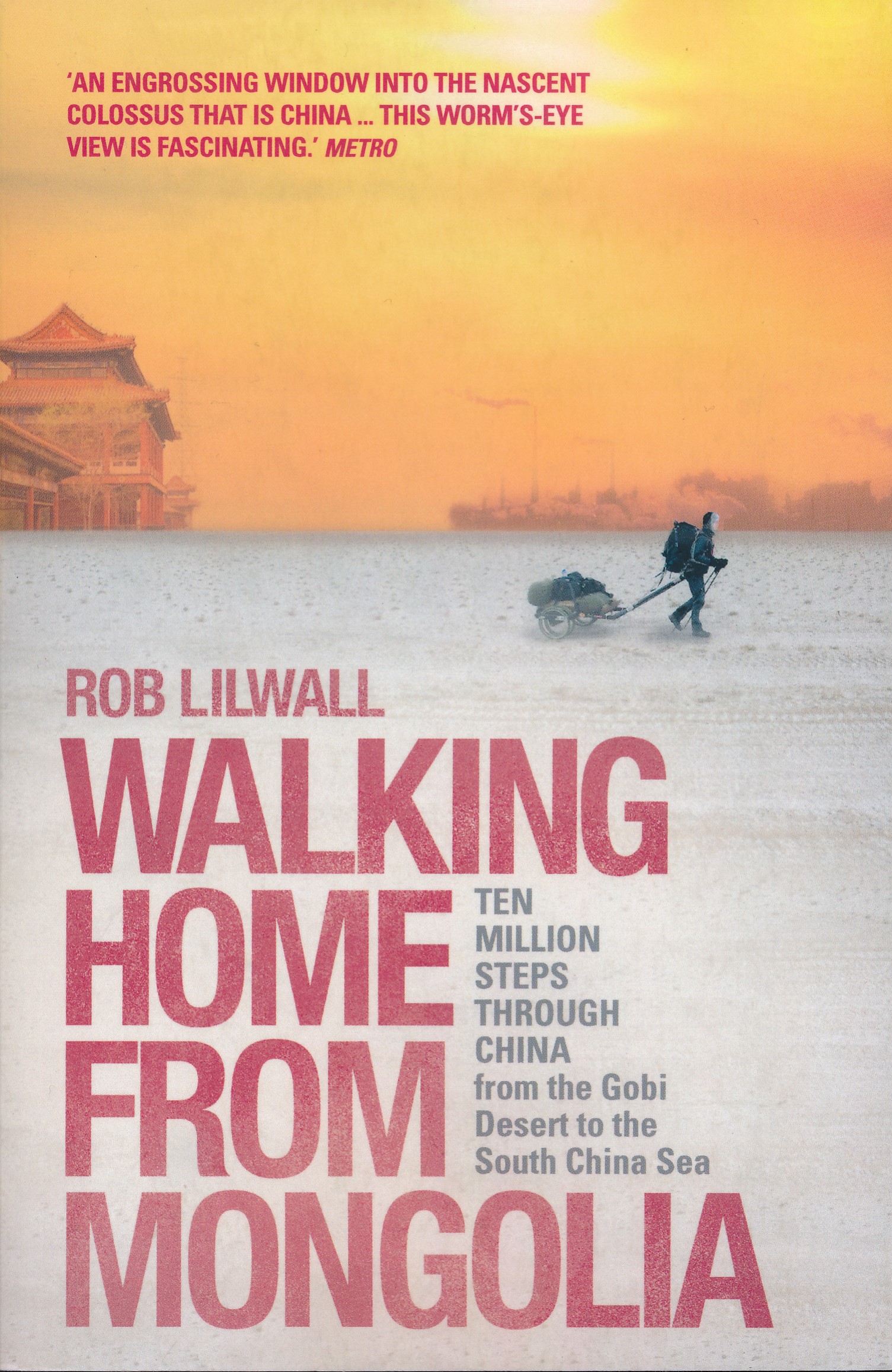
- Walking Home From Mongolia
- Ten Million Steps Through China, From the Gobi Desert to the South China Sea Read more
- Also available from:
- De Zwerver, Netherlands
Netherlands
2014
- Reisverhaal Walking Home From Mongolia | Hodder & Stoughton
- Ten Million Steps Through China, from the Gobi Desert to the South China Sea Read more
Netherlands
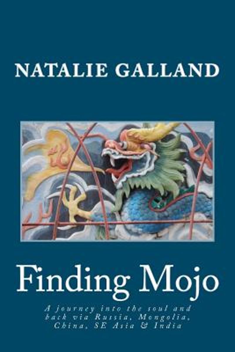
- Finding Mojo
- What does it take to finally let go of things that just aren t working in your life? The suffering of a broken heart? Losing a job? Or maybe the painful disintegration of a long-standing friendship?It is the cruel fusion of all these things and more that leads Natalie to believe the life she s living belongs to somebody else. On discovering... Read more
- Also available from:
- Bol.com, Belgium
Belgium
- Finding Mojo
- What does it take to finally let go of things that just aren t working in your life? The suffering of a broken heart? Losing a job? Or maybe the painful disintegration of a long-standing friendship?It is the cruel fusion of all these things and more that leads Natalie to believe the life she s living belongs to somebody else. On discovering... Read more
Netherlands
2015
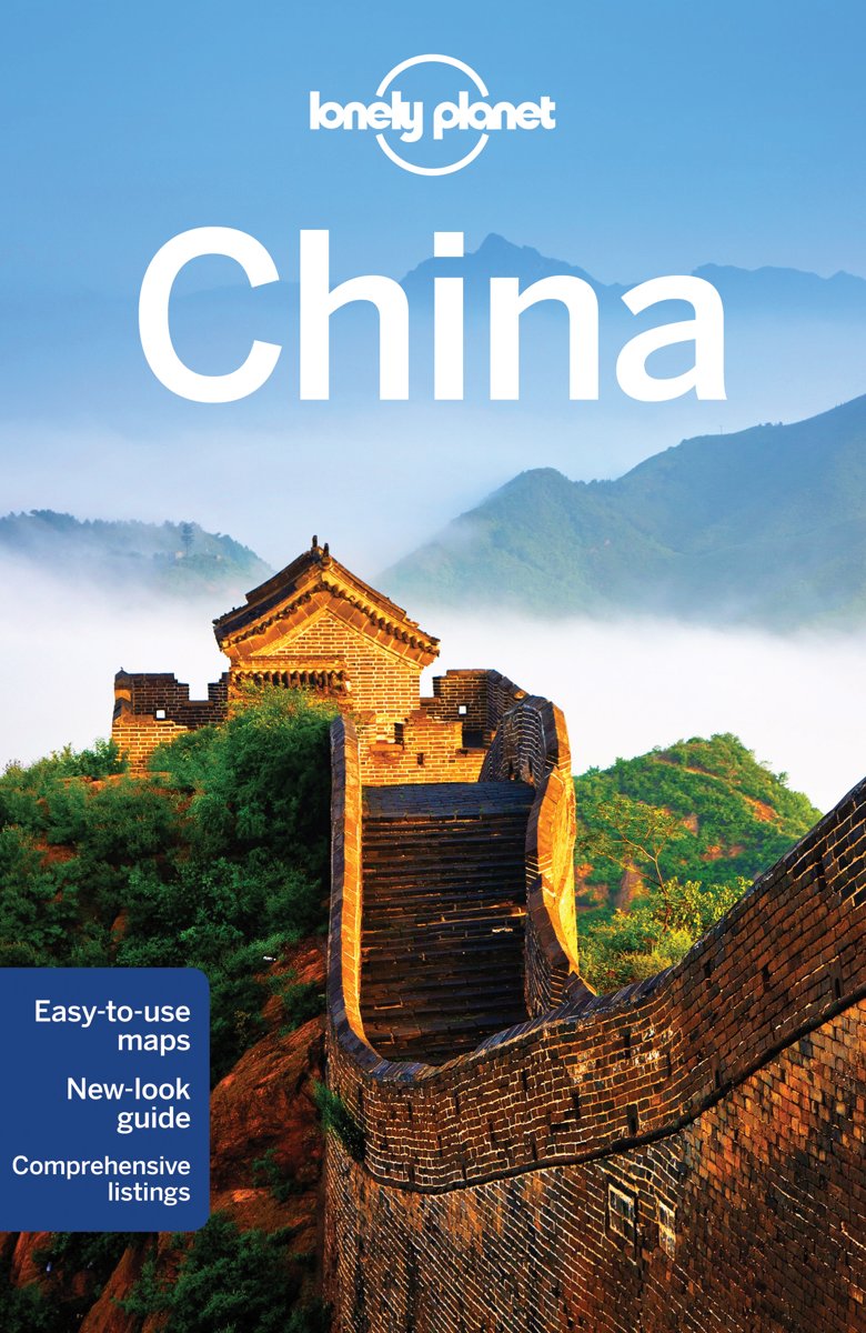
- Lonely Planet China
- 14th editionLonely Planet: The world's leading travel guide publisherLonely Planet China is your passport to all the most relevant and up-to-date advice on what to see, what to skip, and what hidden discoveries await you. Get lost in the dynastic grandeur of Beijing's Forbidden City, hike along the Great Wall, or take in Shanghai's neon lights... Read more
- Also available from:
- Bol.com, Belgium
Belgium
2015
- Lonely Planet China
- 14th editionLonely Planet: The world's leading travel guide publisherLonely Planet China is your passport to all the most relevant and up-to-date advice on what to see, what to skip, and what hidden discoveries await you. Get lost in the dynastic grandeur of Beijing's Forbidden City, hike along the Great Wall, or take in Shanghai's neon lights... Read more

Netherlands
- Black Dragon River
- Black Dragon River is a personal journey down one of Asias great rivers that reveals the regions essential history and culture. The worlds ninth largest river, the Amur serves as a large part of the border between Russia and China. As a crossroads for the great empires of Asia, this area offers journalist Dominic Ziegler a lens with which to... Read more
- Also available from:
- Bol.com, Belgium
Belgium
- Black Dragon River
- Black Dragon River is a personal journey down one of Asias great rivers that reveals the regions essential history and culture. The worlds ninth largest river, the Amur serves as a large part of the border between Russia and China. As a crossroads for the great empires of Asia, this area offers journalist Dominic Ziegler a lens with which to... Read more
Netherlands
2017
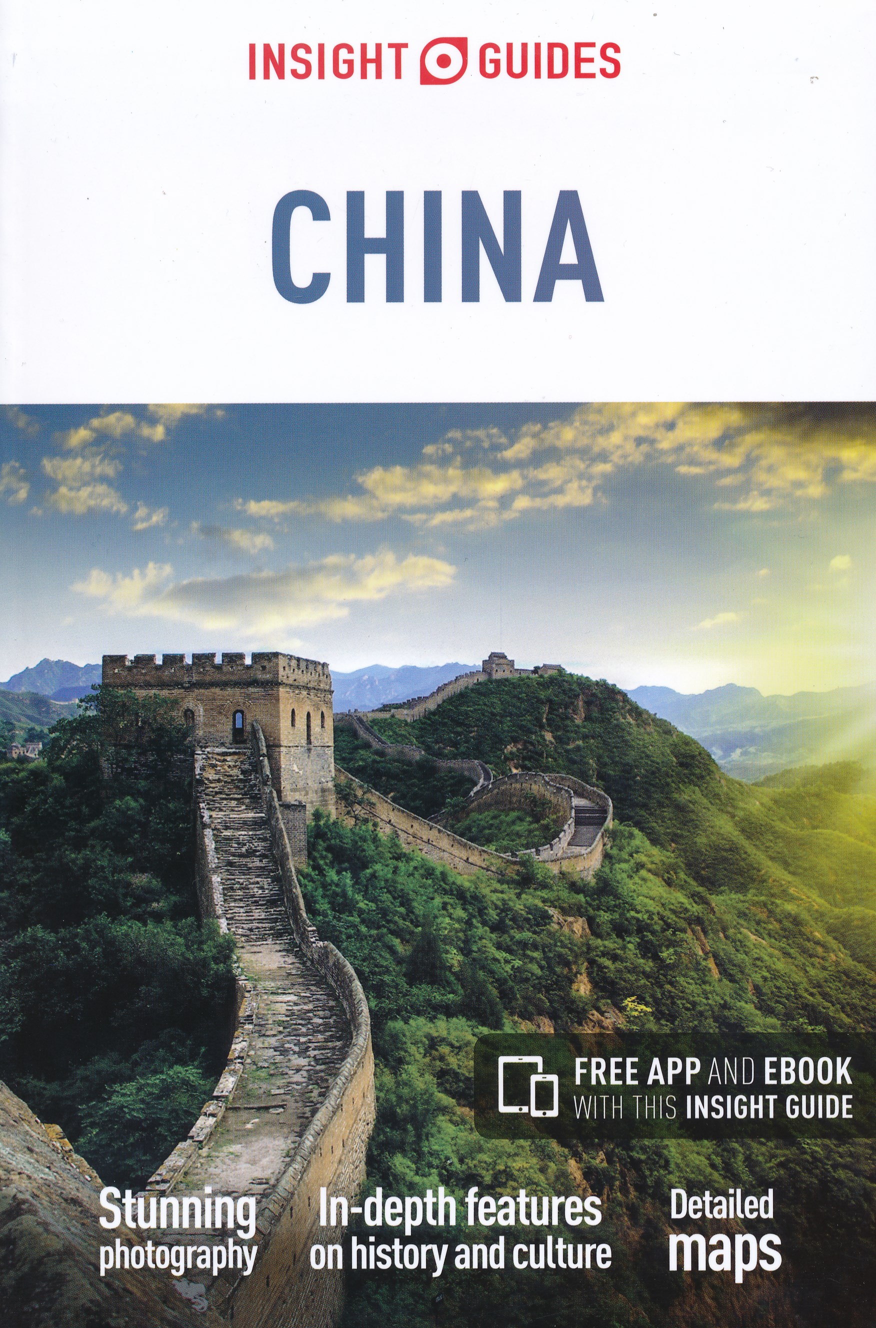
- Reisgids China | Insight Guides
- Een rijk geillustreerde reisgids met diepgaande teksten: één van de beste reisgidsen die er bestaan. Eerste deel bestaat uit een beschrijving van de unieke aspecten van de regio, daarna een deel echte reisgids en als afsluiting een deel met praktische informatie. De uitstekende informatie wordt vergezeld van prachtige foto's en heldere kaarten.... Read more
Netherlands
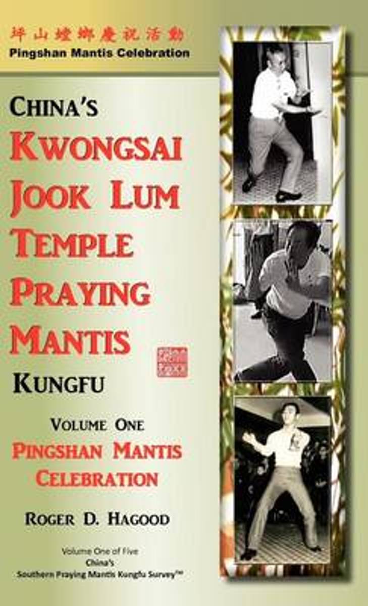
- Pingshan Mantis Celebration
- A rare book of China's Kwongsai Jook Lum Temple Praying Mantis Kungfu and Unicorn Culture. Included are: Origins, history and practices of China's Kwongsai Mantis, rare and exclusive historical photographs never published before, the hometown of Kwongsai Mantis-Pingshan Town, how Wong Yuk Kong came to learn Hakka Mantis, why Wong Sifu went... Read more
- Also available from:
- Bol.com, Belgium
Belgium
- Pingshan Mantis Celebration
- A rare book of China's Kwongsai Jook Lum Temple Praying Mantis Kungfu and Unicorn Culture. Included are: Origins, history and practices of China's Kwongsai Mantis, rare and exclusive historical photographs never published before, the hometown of Kwongsai Mantis-Pingshan Town, how Wong Yuk Kong came to learn Hakka Mantis, why Wong Sifu went... Read more
Netherlands
- Geschichten vom Taibai-Berg
- In der Lehre des Qigong gibt es die gedanklich gesteuerte Levitation von materiellen Dingen. Der Zuschauer sieht, wie die Dinge ihren Ort wechseln, wobei dieser Ortswechsel eine Funktion subjektgeleiteter geistiger Konzentration ist. Die Geschichten vom Taibai-Berg orientieren sich an diesem Verfahren des Qigong. (Jin Tushuang)Die Moderne als... Read more
- Also available from:
- Bol.com, Belgium
Belgium
- Geschichten vom Taibai-Berg
- In der Lehre des Qigong gibt es die gedanklich gesteuerte Levitation von materiellen Dingen. Der Zuschauer sieht, wie die Dinge ihren Ort wechseln, wobei dieser Ortswechsel eine Funktion subjektgeleiteter geistiger Konzentration ist. Die Geschichten vom Taibai-Berg orientieren sich an diesem Verfahren des Qigong. (Jin Tushuang)Die Moderne als... Read more
Netherlands
- National Geographic reisgidsen - National Geographic reisgids China
- National Geographic Reisgids China is een exclusieve gids met sublieme fotografie die u meeneemt naar de bekende en minder bekende bezienswaardigheden. De experts van National Geographic nemen een kijkje achter de schermen en dringen door tot de kern van de cultuur, de geschiedenis en het volk van het land. Bezoek met deze National Geographic... Read more
- Also available from:
- Bol.com, Belgium
Belgium
- National Geographic reisgidsen - National Geographic reisgids China
- National Geographic Reisgids China is een exclusieve gids met sublieme fotografie die u meeneemt naar de bekende en minder bekende bezienswaardigheden. De experts van National Geographic nemen een kijkje achter de schermen en dringen door tot de kern van de cultuur, de geschiedenis en het volk van het land. Bezoek met deze National Geographic... Read more
Netherlands
- Revolution and Rebellion in the Early Modern World
- What can the great crises of the past teach us about contemporary revolutions? Arguing from an exciting and original perspective, Goldstone suggests that great revolutions were the product of 'ecological crises' that occurred when inflexible political, economic, and social institutions were overwhelmed by the cumulative pressure of population... Read more
- Also available from:
- Bol.com, Belgium
Belgium
- Revolution and Rebellion in the Early Modern World
- What can the great crises of the past teach us about contemporary revolutions? Arguing from an exciting and original perspective, Goldstone suggests that great revolutions were the product of 'ecological crises' that occurred when inflexible political, economic, and social institutions were overwhelmed by the cumulative pressure of population... Read more

Netherlands
- Tic
- Book summaryIn this book Tove Vine tells the story of how for years she felt she was living the wrong life and at the age of 57 was brave enough to make a huge change in her life. She sold off all her belongings, put on a backpack and went to China to teach English. Tove tells a fascinating story of how China set her on the path to becoming... Read more
- Also available from:
- Bol.com, Belgium
Belgium
- Tic
- Book summaryIn this book Tove Vine tells the story of how for years she felt she was living the wrong life and at the age of 57 was brave enough to make a huge change in her life. She sold off all her belongings, put on a backpack and went to China to teach English. Tove tells a fascinating story of how China set her on the path to becoming... Read more
Netherlands
2008
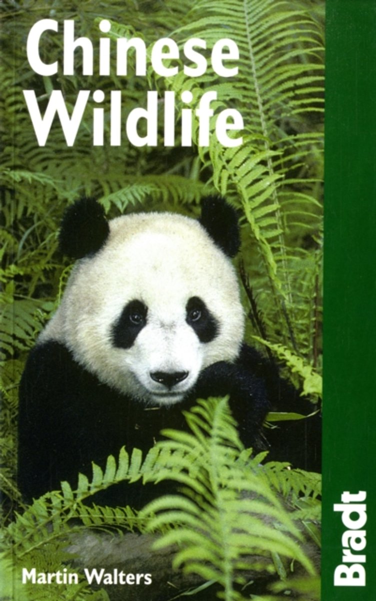
- The Bradt Travel Guide Chinese Wildlife
- China is home to a variety of remarkable variety of unusual wildlife, many of which are rare and threatened species under conservation. This new wildlife guide provides a colorful introduction to the species of a country that is beginning to emerge as a fascinating destination for wildlife enthusiasts..Visitors can discover a range of habitats:... Read more
- Also available from:
- Bol.com, Belgium
Belgium
2008
- The Bradt Travel Guide Chinese Wildlife
- China is home to a variety of remarkable variety of unusual wildlife, many of which are rare and threatened species under conservation. This new wildlife guide provides a colorful introduction to the species of a country that is beginning to emerge as a fascinating destination for wildlife enthusiasts..Visitors can discover a range of habitats:... Read more
Netherlands
2016
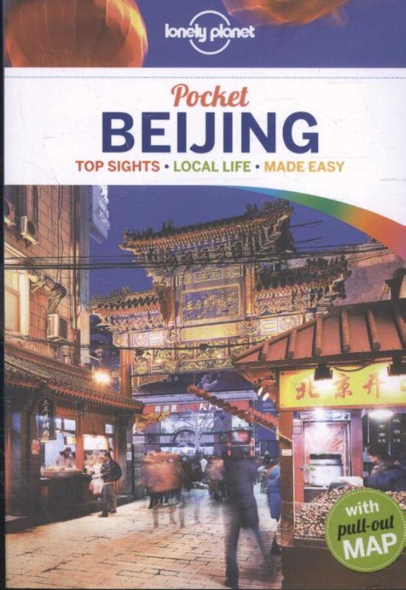
- Lonely Planet Pocket Beijing dr 4
- Lonely Planet: The world's leading travel guide publisher Lonely Planet Pocket Beijing is your passport to the most relevant, up-to-date advice on what to see and skip, and what hidden discoveries await you. Sample the city's most famous dish, Peking Duck; wander the ancient alleys known as hutong; and explore the world's largest palace complex... Read more
- Also available from:
- Bol.com, Belgium
- De Zwerver, Netherlands
Belgium
2016
- Lonely Planet Pocket Beijing dr 4
- Lonely Planet: The world's leading travel guide publisher Lonely Planet Pocket Beijing is your passport to the most relevant, up-to-date advice on what to see and skip, and what hidden discoveries await you. Sample the city's most famous dish, Peking Duck; wander the ancient alleys known as hutong; and explore the world's largest palace complex... Read more
Netherlands
2016
- Reisgids Pocket Beijing | Lonely Planet
- Klein compact stadgidsje voor Beijing met alle essentiele informatie voor een paar dagen. Eten & drinken, Accomodaties en bezienswaardigheden. Met stadsplattegrond. Lonely Planet Pocket Beijing is your passport to the most relevant, up-to-date advice on what to see and skip, and what hidden discoveries await you. Sample the city’s most famous... Read more
Netherlands
- Following The Sunrise - A Century Of Baptist Missions, 1813-1913
- FOLLOWING THE SUNRISE A Century of Baptist Missions, 1813-1913 By HELEN BARRETT MONTGOMERY Author of Christus Redemptor M and Western Women in Eastern Lands I am the Light oi the World. He that foiloweth me shall not walk in darkness, but shall have the light of life. 41 The people that walked in darkness have seen a great light, Published in... Read more
- Also available from:
- Bol.com, Belgium
Belgium
- Following The Sunrise - A Century Of Baptist Missions, 1813-1913
- FOLLOWING THE SUNRISE A Century of Baptist Missions, 1813-1913 By HELEN BARRETT MONTGOMERY Author of Christus Redemptor M and Western Women in Eastern Lands I am the Light oi the World. He that foiloweth me shall not walk in darkness, but shall have the light of life. 41 The people that walked in darkness have seen a great light, Published in... Read more
Maps

United Kingdom
- Admiralty Routeing Chart 5149(5) - South China Sea - May
- Essential for use in passage planning for ocean voyages, Routeing Charts include routes and distances between major ports, ocean currents, ice limits, load lines and wind roses. They also contain expected meteorological and oceanographic conditions for each month of the year.Individual chart scales of 1:5,000,000, 1:10,000,000 and 1:20,000,000... Read more

United Kingdom
- Admiralty Routeing Chart 5150(1) - East China Sea - January
- Essential for use in passage planning for ocean voyages, Routeing Charts include routes and distances between major ports, ocean currents, ice limits, load lines and wind roses. They also contain expected meteorological and oceanographic conditions for each month of the year.Individual chart scales of 1:5,000,000, 1:10,000,000 and 1:20,000,000... Read more

United Kingdom
- Admiralty Routeing Chart 5150(9) - East China Sea - September
- Essential for use in passage planning for ocean voyages, Routeing Charts include routes and distances between major ports, ocean currents, ice limits, load lines and wind roses. They also contain expected meteorological and oceanographic conditions for each month of the year.Individual chart scales of 1:5,000,000, 1:10,000,000 and 1:20,000,000... Read more
United Kingdom
- Admiralty Routeing Chart 5149(6) - South China Sea - June
- Essential for use in passage planning for ocean voyages, Routeing Charts include routes and distances between major ports, ocean currents, ice limits, load lines and wind roses. They also contain expected meteorological and oceanographic conditions for each month of the year.Individual chart scales of 1:5,000,000, 1:10,000,000 and 1:20,000,000... Read more
United Kingdom
- Admiralty Routeing Chart 5150(2) - East China Sea - February
- Essential for use in passage planning for ocean voyages, Routeing Charts include routes and distances between major ports, ocean currents, ice limits, load lines and wind roses. They also contain expected meteorological and oceanographic conditions for each month of the year.Individual chart scales of 1:5,000,000, 1:10,000,000 and 1:20,000,000... Read more

United Kingdom
- Admiralty Routeing Chart 5150(10) - East China Sea - October
- Essential for use in passage planning for ocean voyages, Routeing Charts include routes and distances between major ports, ocean currents, ice limits, load lines and wind roses. They also contain expected meteorological and oceanographic conditions for each month of the year.Individual chart scales of 1:5,000,000, 1:10,000,000 and 1:20,000,000... Read more

United Kingdom
- China West ITMB
- Western China on a double-sided, indexed road map from ITMB at 1:3,000,000, with three insets providing a street plan of central Lhasa, a wider coverage of the city and a plan of the Norbulingka complex. The map divides the region north/south and coverage extends east to approx. 106° (Lanzhou/Chengou).The map has altitude colouring in feet,... Read more

United Kingdom
- Admiralty Routeing Chart 5149(7) - South China Sea - July
- Essential for use in passage planning for ocean voyages, Routeing Charts include routes and distances between major ports, ocean currents, ice limits, load lines and wind roses. They also contain expected meteorological and oceanographic conditions for each month of the year.Individual chart scales of 1:5,000,000, 1:10,000,000 and 1:20,000,000... Read more

United Kingdom
- Admiralty Routeing Chart 5150(3) - East China Sea - March
- Essential for use in passage planning for ocean voyages, Routeing Charts include routes and distances between major ports, ocean currents, ice limits, load lines and wind roses. They also contain expected meteorological and oceanographic conditions for each month of the year.Individual chart scales of 1:5,000,000, 1:10,000,000 and 1:20,000,000... Read more

United Kingdom
- Admiralty Routeing Chart 5150(11) - East China Sea - November
- Essential for use in passage planning for ocean voyages, Routeing Charts include routes and distances between major ports, ocean currents, ice limits, load lines and wind roses. They also contain expected meteorological and oceanographic conditions for each month of the year.Individual chart scales of 1:5,000,000, 1:10,000,000 and 1:20,000,000... Read more

United Kingdom
- Mount Gongga Glaciers
- Mount Gongga Glaciers on a detailed, contoured map at 1:25,000 published by the Chinese Institute of Glaciology and based on surveys carries out in early 1980s and aerial photography from December 1996. The map has contours at 20m intervals, enhanced by shading, plus graphics and/or colouring for exposed rock, scree, moraine, crevasses,... Read more

United Kingdom
- Admiralty Routeing Chart 5149(8) - South China Sea - August
- Essential for use in passage planning for ocean voyages, Routeing Charts include routes and distances between major ports, ocean currents, ice limits, load lines and wind roses. They also contain expected meteorological and oceanographic conditions for each month of the year.Individual chart scales of 1:5,000,000, 1:10,000,000 and 1:20,000,000... Read more

United Kingdom
- Admiralty Routeing Chart 5150(4) - East China Sea - April
- Essential for use in passage planning for ocean voyages, Routeing Charts include routes and distances between major ports, ocean currents, ice limits, load lines and wind roses. They also contain expected meteorological and oceanographic conditions for each month of the year.Individual chart scales of 1:5,000,000, 1:10,000,000 and 1:20,000,000... Read more

United Kingdom
- Admiralty Routeing Chart 5150(12) - East China Sea - December
- Essential for use in passage planning for ocean voyages, Routeing Charts include routes and distances between major ports, ocean currents, ice limits, load lines and wind roses. They also contain expected meteorological and oceanographic conditions for each month of the year.Individual chart scales of 1:5,000,000, 1:10,000,000 and 1:20,000,000... Read more
