
Hong Kong
Description

Hong Kong was a British colony for many years. No surprise, hiking trails have been established here over the decades. And the Hong Kong citizens themselves do enjoy walking, so the tradition lives on. Good news for us!
If your image of Hong Kong is one of skyscrapers only, you're biased. The fact is that, among the densely populated financial centers of Asia, Hong Kong stands out in nature. Main asset of Hong Kong, from our point of view of course, are the Country Parks. These safe havens for nature were established in the seventies by Murray MacLehose, the governor who fought corruption and obstructed democracy. Four main trails, and more smaller trails, explore these Country Parks.
You are never faraway from the large population areas, and still, nature will present itself from the wild side: “hills” up till 1000 meter, beautiful coast line with sea inlets and quiet beaches, forests and shrub lands. Attractive also are the exotic small villages (yes, not far from towering skyscrapers) where you often can find a place to sleep. Hong Kong partially consists of islands, the best known is Hong Kong Island itself, and the largest of them is Lantau.
The four main trails are the Hong Kong Trail (50 km), the MacLehose Trail (100 km), the Wilson Trail (78 km) and the Lantau Trail (70 km). Often, it is possible to divide your trail in neat portions return to your hotel and the bustling city life at night, have a good sleep, and turn back, tidy and well fed, to your last evening's trailhead by public transport. Alternatively, you might enjoy camping in the outdoor. Most villages offer some kind of overnight staying, including temples.
There are many more smaller trails, indicated on the maps. Check out Roz's website (see links section below), if you want to find out more.
Hiking is possible year round, but during the hot season - June till September - you will sweat your bones out, if not washed away already in one of those plunge sessions. Dry weather or pouring rain, do carry lots of water on your hike.
We can recommend Pete Spurrier's guide to the four main trails: “The Serious Hiker's Guide to Hong Kong”, available in the English bookshops. Maps can be purchased from the Map Publication Centers. Best are the excellent Countryside Series, showing the main trails and smaller trails. In the field, the waymarking is up to date.
So, unpack at the airport, jump on the Star Ferry, and take a break halfway your business trip. And if you liked it, pray for the survival of the Country Parks.
Trails
Links
Facts
Reports
Guides and maps
Lodging
Organisations
Tour operators
GPS
Other
Books


United Kingdom
2014
- Walking Home From Mongolia
- Ten Million Steps Through China, From the Gobi Desert to the South China Sea Read more
- Also available from:
- De Zwerver, Netherlands
Netherlands
2014
- Reisverhaal Walking Home From Mongolia | Hodder & Stoughton
- Ten Million Steps Through China, from the Gobi Desert to the South China Sea Read more

United Kingdom
2022
- Hiking in Hong Kong
- Hong Kong, Lantau, MacLehose and Wilson Trails and 21 day walks Read more
- Also available from:
- De Zwerver, Netherlands
Netherlands
2022
- Wandelgids Hiking in Hong Kong | Cicerone
- Hong Kong, Lantau, MacLehose and Wilson Trails and 21 day walks Read more

Netherlands
- Killing for profit
- Rhino horn is worth more than cocaine, heroin or even gold on the black markets of Southeast Asia and China. Now, Killing for Profit brings you the story of one man s journey into a violent underworld where ruthless criminal syndicates will stop at nothing to attain their prize a tale of greed and corruption and of an increasingly desperate... Read more
- Also available from:
- Bol.com, Belgium
Belgium
- Killing for profit
- Rhino horn is worth more than cocaine, heroin or even gold on the black markets of Southeast Asia and China. Now, Killing for Profit brings you the story of one man s journey into a violent underworld where ruthless criminal syndicates will stop at nothing to attain their prize a tale of greed and corruption and of an increasingly desperate... Read more
Netherlands
- China
- De Navigator reisgidsen zijn luxe uitgevoerde gidsen, boordevol informatie.ANWB Navigator combineert een glossy uitstraling met een grote toegankelijkheid. Naast traditionele onderwerpen als geschiedenis en bezienswaardigheden biedt ANWB Navigator u nog veel meer.Bijvoorbeeld informatie over shoppen, hoe het openbaar vervoer werkt, fotos van... Read more
- Also available from:
- Bol.com, Belgium
Belgium
- China
- De Navigator reisgidsen zijn luxe uitgevoerde gidsen, boordevol informatie.ANWB Navigator combineert een glossy uitstraling met een grote toegankelijkheid. Naast traditionele onderwerpen als geschiedenis en bezienswaardigheden biedt ANWB Navigator u nog veel meer.Bijvoorbeeld informatie over shoppen, hoe het openbaar vervoer werkt, fotos van... Read more
Netherlands
- Beijing & Shanghai
- DK Eyewitness Travel Guide: Beijing and Shanghai is your in-depth guide to the very best of these two metropolitan cities.Take in the major sights, from the breathtaking Great Wall of China to the imperial splendor of the Forbidden City; go on a canal cruise for your chance to contrast the old and new sides of Shanghai; or simply wander the... Read more
- Also available from:
- Bol.com, Belgium
Belgium
- Beijing & Shanghai
- DK Eyewitness Travel Guide: Beijing and Shanghai is your in-depth guide to the very best of these two metropolitan cities.Take in the major sights, from the breathtaking Great Wall of China to the imperial splendor of the Forbidden City; go on a canal cruise for your chance to contrast the old and new sides of Shanghai; or simply wander the... Read more
Netherlands
- Geschichten vom Taibai-Berg
- In der Lehre des Qigong gibt es die gedanklich gesteuerte Levitation von materiellen Dingen. Der Zuschauer sieht, wie die Dinge ihren Ort wechseln, wobei dieser Ortswechsel eine Funktion subjektgeleiteter geistiger Konzentration ist. Die Geschichten vom Taibai-Berg orientieren sich an diesem Verfahren des Qigong. (Jin Tushuang)Die Moderne als... Read more
- Also available from:
- Bol.com, Belgium
Belgium
- Geschichten vom Taibai-Berg
- In der Lehre des Qigong gibt es die gedanklich gesteuerte Levitation von materiellen Dingen. Der Zuschauer sieht, wie die Dinge ihren Ort wechseln, wobei dieser Ortswechsel eine Funktion subjektgeleiteter geistiger Konzentration ist. Die Geschichten vom Taibai-Berg orientieren sich an diesem Verfahren des Qigong. (Jin Tushuang)Die Moderne als... Read more
Netherlands
- The Lost Camels Of Tartary
- This narrative reveals the author's experiences on three expeditions to the Mongolian and Chinese Gobi Deserts, in search of the mysterious wild Bactrian camel. They include a 30-day walk in the Kum Tagh sand dunes and his experience as the first foreigner to cross the Gashun Gobi from north to south. Read more
- Also available from:
- Bol.com, Belgium
Belgium
- The Lost Camels Of Tartary
- This narrative reveals the author's experiences on three expeditions to the Mongolian and Chinese Gobi Deserts, in search of the mysterious wild Bactrian camel. They include a 30-day walk in the Kum Tagh sand dunes and his experience as the first foreigner to cross the Gashun Gobi from north to south. Read more
Netherlands
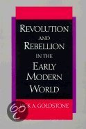
- Revolution and Rebellion in the Early Modern World
- What can the great crises of the past teach us about contemporary revolutions? Arguing from an exciting and original perspective, Goldstone suggests that great revolutions were the product of 'ecological crises' that occurred when inflexible political, economic, and social institutions were overwhelmed by the cumulative pressure of population... Read more
- Also available from:
- Bol.com, Belgium
Belgium
- Revolution and Rebellion in the Early Modern World
- What can the great crises of the past teach us about contemporary revolutions? Arguing from an exciting and original perspective, Goldstone suggests that great revolutions were the product of 'ecological crises' that occurred when inflexible political, economic, and social institutions were overwhelmed by the cumulative pressure of population... Read more

Netherlands
- Wildlife Wonders of China
- China is a country rich in bio-diversity that boasts gorgeous natural landscapes and wildlife, many unique to its land. Award winning nature photographer Xi Zhinong spent 30 years taking photos along rivers and across mountains, capturing the animals and natural wonders of China. Through his lens, a Yunnan snub-nosed monkey can be seen jumping... Read more
- Also available from:
- Bol.com, Belgium
Belgium
- Wildlife Wonders of China
- China is a country rich in bio-diversity that boasts gorgeous natural landscapes and wildlife, many unique to its land. Award winning nature photographer Xi Zhinong spent 30 years taking photos along rivers and across mountains, capturing the animals and natural wonders of China. Through his lens, a Yunnan snub-nosed monkey can be seen jumping... Read more
Netherlands
2016
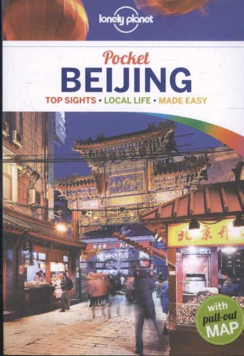
- Lonely Planet Pocket Beijing dr 4
- Lonely Planet: The world's leading travel guide publisher Lonely Planet Pocket Beijing is your passport to the most relevant, up-to-date advice on what to see and skip, and what hidden discoveries await you. Sample the city's most famous dish, Peking Duck; wander the ancient alleys known as hutong; and explore the world's largest palace complex... Read more
- Also available from:
- Bol.com, Belgium
- De Zwerver, Netherlands
Belgium
2016
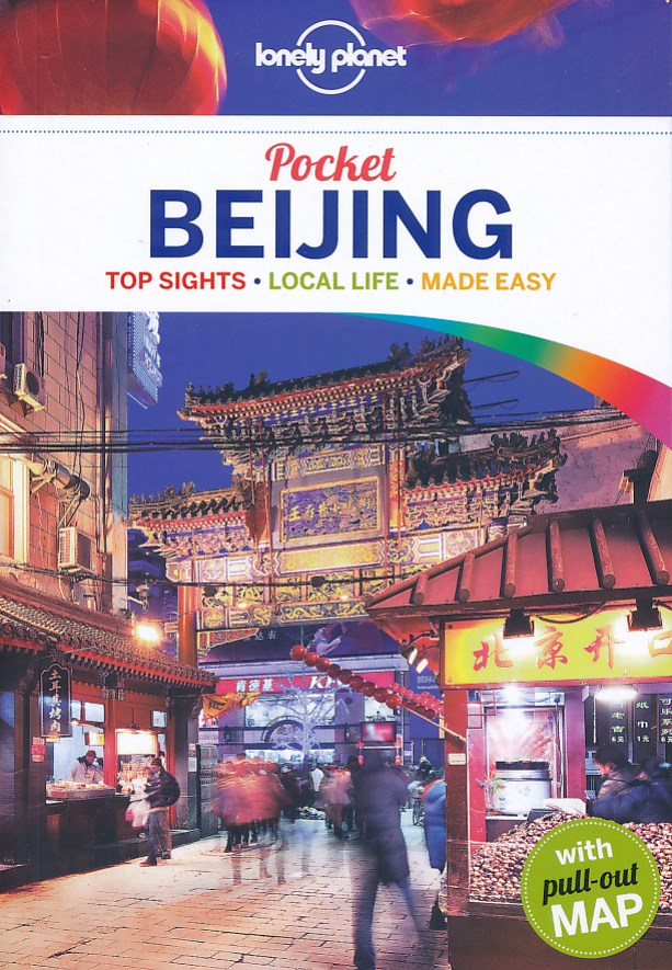
- Lonely Planet Pocket Beijing dr 4
- Lonely Planet: The world's leading travel guide publisher Lonely Planet Pocket Beijing is your passport to the most relevant, up-to-date advice on what to see and skip, and what hidden discoveries await you. Sample the city's most famous dish, Peking Duck; wander the ancient alleys known as hutong; and explore the world's largest palace complex... Read more
Netherlands
2016
- Reisgids Pocket Beijing | Lonely Planet
- Klein compact stadgidsje voor Beijing met alle essentiele informatie voor een paar dagen. Eten & drinken, Accomodaties en bezienswaardigheden. Met stadsplattegrond. Lonely Planet Pocket Beijing is your passport to the most relevant, up-to-date advice on what to see and skip, and what hidden discoveries await you. Sample the city’s most famous... Read more
Netherlands
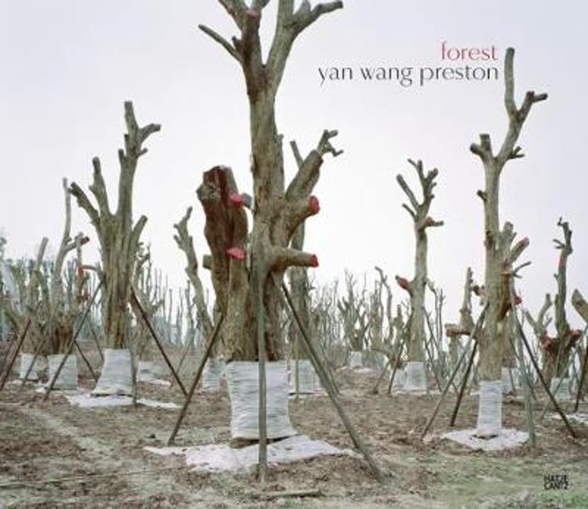
- Yan Wang Preston
- My friend, the tree: a photographic exploration in China, with sometimes harrowing results. In 2013, during a long-term photography project along the Yangtze river, Yan Wang Preston made an incisive observation: In the small village of Xialiu stood an over three-hundred-year-old tree in all of its glory, right in the center of a community that... Read more
- Also available from:
- Bol.com, Belgium
Belgium
- Yan Wang Preston
- My friend, the tree: a photographic exploration in China, with sometimes harrowing results. In 2013, during a long-term photography project along the Yangtze river, Yan Wang Preston made an incisive observation: In the small village of Xialiu stood an over three-hundred-year-old tree in all of its glory, right in the center of a community that... Read more
.jpg)
Netherlands
2012
- Reisgids Te gast in China | Informatie Verre Reizen
- Uitgeverij Informatie Verre Reizen heeft haar nieuwe pocketreeks uitgebreid met TE GAST IN China. Deze uitgave bevat bijdragen van zes auteurs die een bijzondere band hebben met het land. Op levendige wijze en met kennis van zaken doorbreken ze in deze gevarieerde bundel het bekende cliché beeld over China. In deze uitgave laten we zien dat het... Read more
Maps
United Kingdom
- Admiralty Routeing Chart 5149(6) - South China Sea - June
- Essential for use in passage planning for ocean voyages, Routeing Charts include routes and distances between major ports, ocean currents, ice limits, load lines and wind roses. They also contain expected meteorological and oceanographic conditions for each month of the year.Individual chart scales of 1:5,000,000, 1:10,000,000 and 1:20,000,000... Read more
United Kingdom
- Admiralty Routeing Chart 5150(2) - East China Sea - February
- Essential for use in passage planning for ocean voyages, Routeing Charts include routes and distances between major ports, ocean currents, ice limits, load lines and wind roses. They also contain expected meteorological and oceanographic conditions for each month of the year.Individual chart scales of 1:5,000,000, 1:10,000,000 and 1:20,000,000... Read more

United Kingdom
- Admiralty Routeing Chart 5150(10) - East China Sea - October
- Essential for use in passage planning for ocean voyages, Routeing Charts include routes and distances between major ports, ocean currents, ice limits, load lines and wind roses. They also contain expected meteorological and oceanographic conditions for each month of the year.Individual chart scales of 1:5,000,000, 1:10,000,000 and 1:20,000,000... Read more

United Kingdom
- Mount Gongga Glaciers
- Mount Gongga Glaciers on a detailed, contoured map at 1:25,000 published by the Chinese Institute of Glaciology and based on surveys carries out in early 1980s and aerial photography from December 1996. The map has contours at 20m intervals, enhanced by shading, plus graphics and/or colouring for exposed rock, scree, moraine, crevasses,... Read more

United Kingdom
- Admiralty Routeing Chart 5149(7) - South China Sea - July
- Essential for use in passage planning for ocean voyages, Routeing Charts include routes and distances between major ports, ocean currents, ice limits, load lines and wind roses. They also contain expected meteorological and oceanographic conditions for each month of the year.Individual chart scales of 1:5,000,000, 1:10,000,000 and 1:20,000,000... Read more

United Kingdom
- Admiralty Routeing Chart 5150(3) - East China Sea - March
- Essential for use in passage planning for ocean voyages, Routeing Charts include routes and distances between major ports, ocean currents, ice limits, load lines and wind roses. They also contain expected meteorological and oceanographic conditions for each month of the year.Individual chart scales of 1:5,000,000, 1:10,000,000 and 1:20,000,000... Read more

United Kingdom
- Admiralty Routeing Chart 5150(11) - East China Sea - November
- Essential for use in passage planning for ocean voyages, Routeing Charts include routes and distances between major ports, ocean currents, ice limits, load lines and wind roses. They also contain expected meteorological and oceanographic conditions for each month of the year.Individual chart scales of 1:5,000,000, 1:10,000,000 and 1:20,000,000... Read more

United Kingdom
- China West ITMB
- Western China on a double-sided, indexed road map from ITMB at 1:3,000,000, with three insets providing a street plan of central Lhasa, a wider coverage of the city and a plan of the Norbulingka complex. The map divides the region north/south and coverage extends east to approx. 106° (Lanzhou/Chengou).The map has altitude colouring in feet,... Read more

United Kingdom
- Admiralty Routeing Chart 5149(8) - South China Sea - August
- Essential for use in passage planning for ocean voyages, Routeing Charts include routes and distances between major ports, ocean currents, ice limits, load lines and wind roses. They also contain expected meteorological and oceanographic conditions for each month of the year.Individual chart scales of 1:5,000,000, 1:10,000,000 and 1:20,000,000... Read more

United Kingdom
- Admiralty Routeing Chart 5150(4) - East China Sea - April
- Essential for use in passage planning for ocean voyages, Routeing Charts include routes and distances between major ports, ocean currents, ice limits, load lines and wind roses. They also contain expected meteorological and oceanographic conditions for each month of the year.Individual chart scales of 1:5,000,000, 1:10,000,000 and 1:20,000,000... Read more

United Kingdom
- Admiralty Routeing Chart 5150(12) - East China Sea - December
- Essential for use in passage planning for ocean voyages, Routeing Charts include routes and distances between major ports, ocean currents, ice limits, load lines and wind roses. They also contain expected meteorological and oceanographic conditions for each month of the year.Individual chart scales of 1:5,000,000, 1:10,000,000 and 1:20,000,000... Read more

United Kingdom
- Admiralty Routeing Chart 5149(9) - South China Sea - September
- Essential for use in passage planning for ocean voyages, Routeing Charts include routes and distances between major ports, ocean currents, ice limits, load lines and wind roses. They also contain expected meteorological and oceanographic conditions for each month of the year.Individual chart scales of 1:5,000,000, 1:10,000,000 and 1:20,000,000... Read more

United Kingdom
- Admiralty Routeing Chart 5150(5) - East China Sea - May
- Essential for use in passage planning for ocean voyages, Routeing Charts include routes and distances between major ports, ocean currents, ice limits, load lines and wind roses. They also contain expected meteorological and oceanographic conditions for each month of the year.Individual chart scales of 1:5,000,000, 1:10,000,000 and 1:20,000,000... Read more


United Kingdom
- Admiralty Routeing Chart 5149(1) - South China Sea - January
- Essential for use in passage planning for ocean voyages, Routeing Charts include routes and distances between major ports, ocean currents, ice limits, load lines and wind roses. They also contain expected meteorological and oceanographic conditions for each month of the year.Individual chart scales of 1:5,000,000, 1:10,000,000 and 1:20,000,000... Read more