
Sweden
Description

Sweden has thousands of kilometers of hiking trails. The majority leads through the low, often sparsely populated regions. The landscape certainly isn't all stereotype forests and lakes, but also many places of cultural historical interest, towns, villages and countryside.
Trails are well documented and marked, and often looked after by local communities. There are huts, mostly self-service, where you can warm up by a wood-burning stove, dry your clothes and stay overnight. Hundreds of youth hostels are spread about the country, as are many small campsites popular with hikers. Maps of long distance trails are available locally. Do not expect to meet up with hordes of other hikers, and bring enough food. Walking in these low regions is good from early spring until late autumn.
Swedish mountains are a different story altogether. This is rough country, so count on alpine circumstances, and plan your walk between halfway June and halfway September. Most famous is Kungsleden, a trail up north in Lapland. It has existed for almost one hundred years and leads you up Swedens highest mountaintops. More mountainous areas are to be found further south, along the border with Norway. The STF, Swedish Tourist Club, has mountain huts at regular intervals in all these regions.
If all this isn't challenging enough for you, try roaming freely through the Lapland wilderness, without trails or huts, for instance in Sarek National Park.
Trails
- AnebyledenGPX
- ArnäsledenGPX
- Öreälvens Vandringsled
- ÖsterlenledenGPX
- ÖstgötaledenGPX
- ÄngenledenGPX
- Ås till åsledenGPX
- ÅsundenledenGPX
- Baltic Trail
- BauerledenGPX
- BergslagsledenGPX
- BillingeledenGPX
- Blå ledenGPX
- Blekinge VildmarksledGPX
- BlekingeledenGPX
- BohusledenGPX
- Bonnaleder
- BruksledenGPX
- DackeledenGPX
- Domarvëgen
- E1GPX
- E6GPX
- Fäbodvandringar Ljusbodarna-Leksand
- FinnledenGPX
- FinnskogledenGPX
- FinnskogsledenGPX
- FinnvägenGPX
- FlottarstigenGPX
- Fryksdalen - Klarälvsdalen
- Funäsfjällen
- Gagnefs vandringsleder
- GästrikeledenGPX
- GislavedsledenGPX
- GlasbruksledenGPX
- GlaskogenGPX
- Grensesømmen
- HallandsledenGPX
- HälsingeledenGPX
- Höga KustenledenGPX
- HöglandsledenGPX
- HögsbyledenGPX
- HolavedsledenGPX
- IsälvsledenGPX
- Jämt-Norge-LedenGPX
- JämtlandsfjällenGPX
- JärnbärarledenGPX
- John BauerledenGPX
- KajvallsledenGPX
- KalmarsundsledenGPX
- KårböleledenGPX
- KinnekulleledenGPX
- Kittelfjall-Borgafjall
- KnalleledenGPX
- KolarstigenGPX
- KungsledenGPX
- Lögdeälvens Vildmarksled
- LönnebergaledenGPX
- Ljugarns Vandringsleder
- Ljungdalsfjällen
- LjusnanledenGPX
- Malingsbo-KlotenrundanGPX
- MönsteråsledenGPX
- MörbylångaledenGPX
- MittnordenledenGPX
- MuddusledenGPX
- MunkastigenGPX
- Njudungsleden
- NordkalottledenGPX
- NordlandsrutaGPX
- North Sea TrailGPX
- Nynäsleden
- OstkustledenGPX
- PadjelantaledenGPX
- Pilgrimsled st OlofGPX
- PilgrimsledenGPX
- RallarstigenGPX
- Rallarvägen
- RedvägsledenGPX
- RomboledenGPX
- RoslagsledenGPX
- RuijaledenGPX
- Santiago de Compostela Pilgrims WayGPX
- Sävsjöleden
- Södra VätterledenGPX
- SörmlandsledenGPX
- SevedeledenGPX
- SigfridsledenGPX
- SiljansledenGPX
- SilverledenGPX
- SjuhäradsledenGPX
- SjuvallsledenGPX
- SkaneledenGPX
- SkåneledenGPX
- Skåneleden kust till kustGPX
- Skåneleden nord till syd
- Skånleden
- Skånvagen
- SméledenGPX
- StorspåretGPX
- SvågaledenGPX
- TavelsjöledenGPX
- TjustledenGPX
- TorsåsledenGPX
- UpplandsledenGPX
- UtvandrarledenGPX
- VasaloppsledenGPX
- Värmlandsleden
- Västra Vätternleden
- Verkeån vandringsled
- VildmarksledenGPX
- Vildmarksleden Falun
- Vildmarksleden SmålandGPX
Regions
States
Links
Facts
Reports
Guides and maps
Lodging
Organisations
Tour operators
GPS
Other
Books

United Kingdom
- Tärnaby - Hemavan - Ammarnäs Lantmateriet AC2
- Mountain areas of central and northern Sweden on waterproof and tear-resistant, GPS compatible topographic “Fjällkartan” maps at 1:100,000 and 1:50,000 from Lantmäteriet - the country’s national survey organization, with hiking and ski routes, campsites and youth hostels, etc. Relief is shown by contours at 20m intervals and enhanced by relief... Read more


Netherlands
- Letters to India
- Dr. Tuthill began writing her exquisite travel stories in honor of her best friend, the astronaut Kalpana Chawla, who tragically perished in the crash of the space shuttle Columbia in 2003. Tuthill's first collection of stories, "Letters from Africa," lovingly chronicles thrilling safari trips taken throughout southern Africa over the past five... Read more
- Also available from:
- Bol.com, Belgium
Belgium
- Letters to India
- Dr. Tuthill began writing her exquisite travel stories in honor of her best friend, the astronaut Kalpana Chawla, who tragically perished in the crash of the space shuttle Columbia in 2003. Tuthill's first collection of stories, "Letters from Africa," lovingly chronicles thrilling safari trips taken throughout southern Africa over the past five... Read more
Netherlands
2021
Netherlands
2017
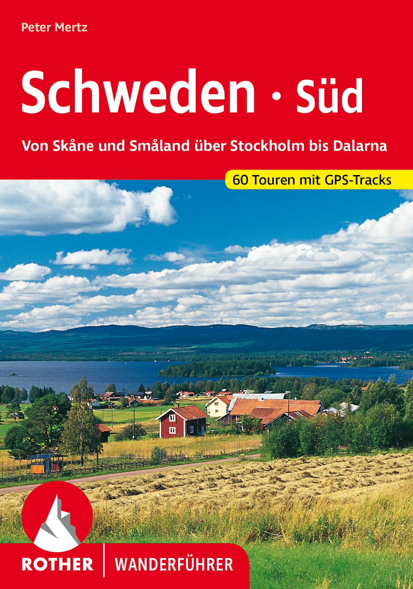
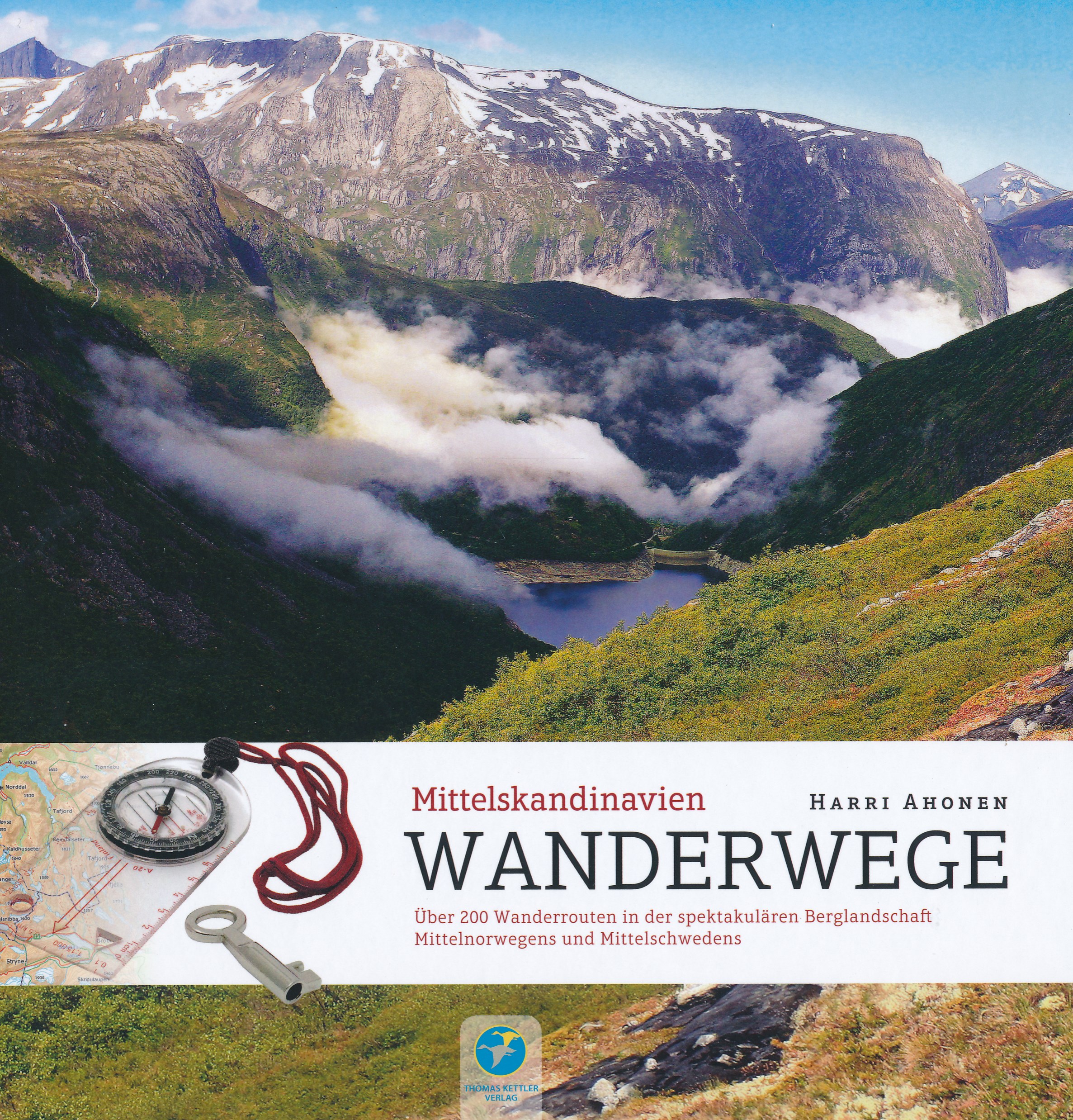
- Wandelgids Wanderwege Mittelskandinavien - Noorwegen en Zweden | Thomas Kettler Verlag
- Travel & Languages Travel (special interest) Guides (general) International Books Read more

Netherlands
2018
- Reisgids Pocket Guide Stockholm | Berlitz
- Helsinki Pocket Guide Berlitz is een handzaam engelstalige reisgids met bezienswaardigheden, kaartjes, hotels en restaurants Berlitz Pocket Guide Stockholm: iconic style, a bestselling brand, this is the quintessential pocket-sized travel guide to Stockholm Newly updated edition of Berlitz Pocket Guide Stockholm Over 45 million copies sold... Read more

Netherlands
- Pictures of Sweden
- It is a delightful spring: the birds warble, but you do not understand their song? Well, hear it in a free translation."Get on my back," says the stork, our green island's sacred bird, "and I will carry thee over the Sound. Sweden also has fresh and fragrant beech woods, green meadows and corn-fields. In Scania, with the flowering apple-trees... Read more
- Also available from:
- Bol.com, Belgium
Belgium
- Pictures of Sweden
- It is a delightful spring: the birds warble, but you do not understand their song? Well, hear it in a free translation."Get on my back," says the stork, our green island's sacred bird, "and I will carry thee over the Sound. Sweden also has fresh and fragrant beech woods, green meadows and corn-fields. In Scania, with the flowering apple-trees... Read more
Maps

United Kingdom
- Vindeln
- Topographic survey of Sweden at 1:50,000, the Terrängkartan, from the Lantmäteriet, covering most of the country in 244 double-sided maps. Please note: the mountainous regions of central and northern Sweden are not covered by this series but presented in a separate “Fjällkartan - Mountain Map” series also listed on our website.Each 1:50,000... Read more
United Kingdom
- Hackås Lantmateriet 686
- Topographic survey of Sweden at 1:50,000, the Terrängkartan, from the Lantmäteriet, covering most of the country in 244 double-sided maps. Please note: the mountainous regions of central and northern Sweden are not covered by this series but presented in a separate “Fjällkartan - Mountain Map” series also listed on our website.Each 1:50,000... Read more
United Kingdom
- Tierp
- Topographic survey of Sweden at 1:50,000, the Terrängkartan, from the Lantmäteriet, covering most of the country in 244 double-sided maps. Please note: the mountainous regions of central and northern Sweden are not covered by this series but presented in a separate “Fjällkartan - Mountain Map” series also listed on our website.Each 1:50,000... Read more

United Kingdom
- Östersund
- Topographic survey of Sweden at 1:100,000, the Vägkartan, from the Lantmäteriet, covering most of the country in 79 double-sided maps. Please note: the mountainous regions of central and northern Sweden are not covered by this series but presented in a separate “Fjällkartan - Mountain Map” series also listed on our website.Each 1:100,000... Read more
United Kingdom
- Arvidsjaur
- Topographic survey of Sweden at 1:50,000, the Terrängkartan, from the Lantmäteriet, covering most of the country in 244 double-sided maps. Please note: the mountainous regions of central and northern Sweden are not covered by this series but presented in a separate “Fjällkartan - Mountain Map” series also listed on our website.Each 1:50,000... Read more
United Kingdom
- Borgvattnet
- Topographic survey of Sweden at 1:50,000, the Terrängkartan, from the Lantmäteriet, covering most of the country in 244 double-sided maps. Please note: the mountainous regions of central and northern Sweden are not covered by this series but presented in a separate “Fjällkartan - Mountain Map” series also listed on our website.Each 1:50,000... Read more
United Kingdom
- Sandviken
- Topographic survey of Sweden at 1:50,000, the Terrängkartan, from the Lantmäteriet, covering most of the country in 244 double-sided maps. Please note: the mountainous regions of central and northern Sweden are not covered by this series but presented in a separate “Fjällkartan - Mountain Map” series also listed on our website.Each 1:50,000... Read more
United Kingdom
- Överkalix
- Topographic survey of Sweden at 1:50,000, the Terrängkartan, from the Lantmäteriet, covering most of the country in 244 double-sided maps. Please note: the mountainous regions of central and northern Sweden are not covered by this series but presented in a separate “Fjällkartan - Mountain Map” series also listed on our website.Each 1:50,000... Read more
United Kingdom
- Luleå
- Topographic survey of Sweden at 1:50,000, the Terrängkartan, from the Lantmäteriet, covering most of the country in 244 double-sided maps. Please note: the mountainous regions of central and northern Sweden are not covered by this series but presented in a separate “Fjällkartan - Mountain Map” series also listed on our website.Each 1:50,000... Read more
United Kingdom
- Söderhamn
- Topographic survey of Sweden at 1:50,000, the Terrängkartan, from the Lantmäteriet, covering most of the country in 244 double-sided maps. Please note: the mountainous regions of central and northern Sweden are not covered by this series but presented in a separate “Fjällkartan - Mountain Map” series also listed on our website.Each 1:50,000... Read more
United Kingdom
- Filipstad
- Topographic survey of Sweden at 1:50,000, the Terrängkartan, from the Lantmäteriet, covering most of the country in 244 double-sided maps. Please note: the mountainous regions of central and northern Sweden are not covered by this series but presented in a separate “Fjällkartan - Mountain Map” series also listed on our website.Each 1:50,000... Read more
United Kingdom
- Korpilompolo
- Topographic survey of Sweden at 1:50,000, the Terrängkartan, from the Lantmäteriet, covering most of the country in 244 double-sided maps. Please note: the mountainous regions of central and northern Sweden are not covered by this series but presented in a separate “Fjällkartan - Mountain Map” series also listed on our website.Each 1:50,000... Read more
United Kingdom
- Skulesogen
- Topographic survey of Sweden at 1:50,000, the Terrängkartan, from the Lantmäteriet, covering most of the country in 244 double-sided maps. Please note: the mountainous regions of central and northern Sweden are not covered by this series but presented in a separate “Fjällkartan - Mountain Map” series also listed on our website.Each 1:50,000... Read more
United Kingdom
- Särna
- Topographic survey of Sweden at 1:50,000, the Terrängkartan, from the Lantmäteriet, covering most of the country in 244 double-sided maps. Please note: the mountainous regions of central and northern Sweden are not covered by this series but presented in a separate “Fjällkartan - Mountain Map” series also listed on our website.Each 1:50,000... Read more
United Kingdom
- Söderarm
- Topographic survey of Sweden at 1:50,000, the Terrängkartan, from the Lantmäteriet, covering most of the country in 244 double-sided maps. Please note: the mountainous regions of central and northern Sweden are not covered by this series but presented in a separate “Fjällkartan - Mountain Map” series also listed on our website.Each 1:50,000... Read more