
Cambrian Mountains
Description
The Cambrian Mountains are a series of mountain ranges in Wales, covering most of the country from the north coast to the south coast. They include the Brecon Beacons, Carmarthenshire, Ceredigion, Black Mountains, Snowdonia. Great for hiking. Snowdonia is busy, but elsewhere you will be alone in the hills. The Cambrian Way covers all of the Cambrian Mountains; this is a strenuous walk.
Trails in this region
Links
Facts
Reports
Guides and maps
Lodging
Organisations
Tour operators
GPS
Other
Books

Stanfords
United Kingdom
United Kingdom
- Wye Valley & Forest of Dean OS Explorer Active Map OL14 (waterproof)
- The Wye Valley and the Forest of Dean on a detailed topographic and GPS compatible map OL14, waterproof version, from the Ordnance Survey’s 1:25,000 Explorer series. Coverage extends from Chepstow in the south to beyond Ross-on-Wye and includes Monmouth, the Wye Valley Area of Outstanding Natural Beauty, sections of the Offa’s Dyke National... Read more


The Book Depository
United Kingdom
2019
United Kingdom
2019
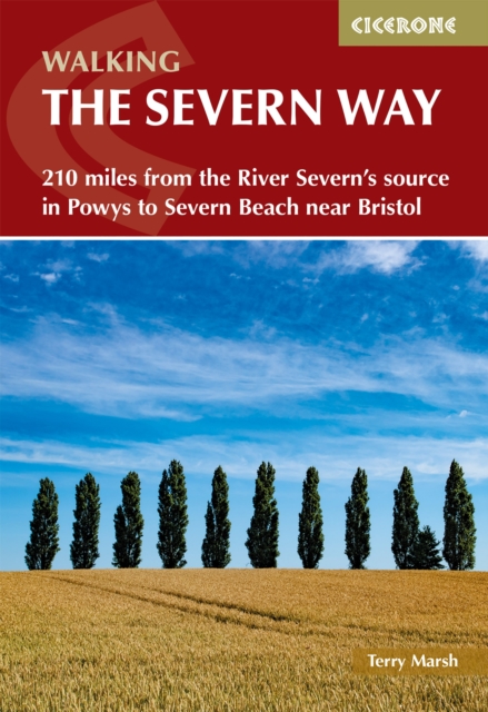
- The Severn Way
- 210 miles from the River Severn's source in Powys to Severn Beach near Bristol Read more

Stanfords
United Kingdom
United Kingdom
- Brecon Beacons Eastern OS Explorer Map OL13 (paper)
- The eastern part of the Brecon Beacons National Park on a detailed topographic and GPS compatible map OL13, paper version, from the Ordnance Survey’s 1:25,000 Explorer series. Coverage includes Tredegar, Ebbw Vale, Abergavenny, Hay-on-Wye, the Black Mountains, Llangorse Lake, Sugar Loaf, Black Hill, Hay Bluff, sections of the Offa’s Dyke... Read more
- Also available from:
- The Book Depository, United Kingdom
- De Zwerver, Netherlands


Stanfords
United Kingdom
2019
United Kingdom
2019
- Offa`s Dyke Path: Prestatyn To Chepstow
- The Offa`s Dyke Path is a magnificent National Trail that runs from the North Wales coast to the Severn Estuary following the line of Offa`s Dyke, an impressive 8th century earthwork along the English/Welsh border. The ever-changing landscape - the Wye Valley, the Black Mountains, the Shropshire Hills and the Clwydian Hills - is steeped in... Read more
- Also available from:
- The Book Depository, United Kingdom
- De Zwerver, Netherlands

The Book Depository
United Kingdom
2019
United Kingdom
2019
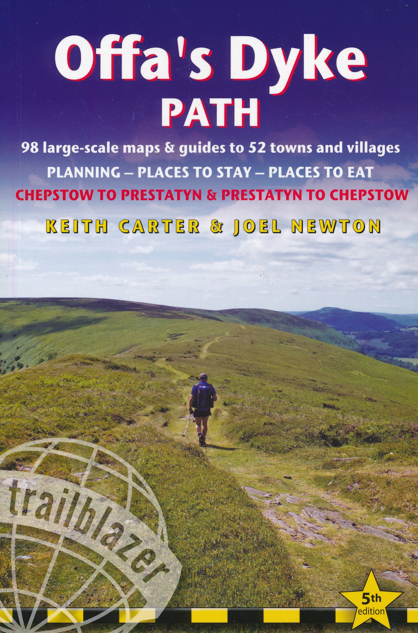
- Offa's Dyke Path (Trailblazer British Walking Guides) 2019
- Chepstow To Prestatyn & Prestatyn To Chepstow, Planning, Places to Stay, Places to Eat, 98 large-scale maps & guides to 52 towns and villages (Trailblazer British Walking Guides) Read more
De Zwerver
Netherlands
2019
Netherlands
2019
- Wandelgids Offa's Dyke Path | Trailblazer Guides
- The Offa`s Dyke Path is a magnificent National Trail that runs from the North Wales coast to the Severn Estuary following the line of Offa`s Dyke, an impressive 8th century earthwork along the English/Welsh border. The ever-changing landscape - the Wye Valley, the Black Mountains, the Shropshire Hills and the Clwydian Hills - is steeped in... Read more

Stanfords
United Kingdom
United Kingdom
- Brecon Beacons Eastern OS Explorer Active Map OL13 (waterproof)
- The eastern part of the Brecon Beacons National Park on a detailed topographic and GPS compatible map OL13, waterproof version, from the Ordnance Survey’s 1:25,000 Explorer series. Coverage includes Tredegar, Ebbw Vale, Abergavenny, Hay-on-Wye, the Black Mountains, Llangorse Lake, Sugar Loaf, Black Hill, Hay Bluff, sections of the Offa’s Dyke... Read more
- Also available from:
- The Book Depository, United Kingdom

The Book Depository
United Kingdom
United Kingdom

Stanfords
United Kingdom
2019
United Kingdom
2019
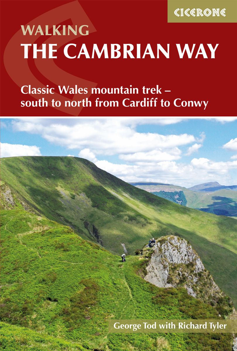
- The Cambrian Way: Classic Wales mountain trek - south to north from Cardiff to Conwy
- Dubbed `the mountain connoisseurs` walk`, the Cambrian Way stretches 479km between the mighty castles of Cardiff in the south and Conwy on the north coast. Traversing the heartland of Wales, the challenging route crosses the Brecon Beacons, the Cambrian Mountains and Snowdonia, passing through two national parks and visiting many of the... Read more
- Also available from:
- The Book Depository, United Kingdom
- De Zwerver, Netherlands

The Book Depository
United Kingdom
2019
United Kingdom
2019
- The Cambrian Way
- Classic Wales mountain trek - south to north from Cardiff to Conwy Read more
De Zwerver
Netherlands
2019
Netherlands
2019
- Wandelgids The Cambrian Way | Cicerone
- Guidebook to the Cambrian Way, a challenging three-week mountain trek through Wales from Cardiff to Conwy. The 470km unwaymarked route is presented from south to north. Often sticking to long, beautiful ridgelines, it crosses wild and rugged terrain and visits many of Wales's highest mountains, including Snowdon. Read more

Bol.com
Netherlands
Netherlands
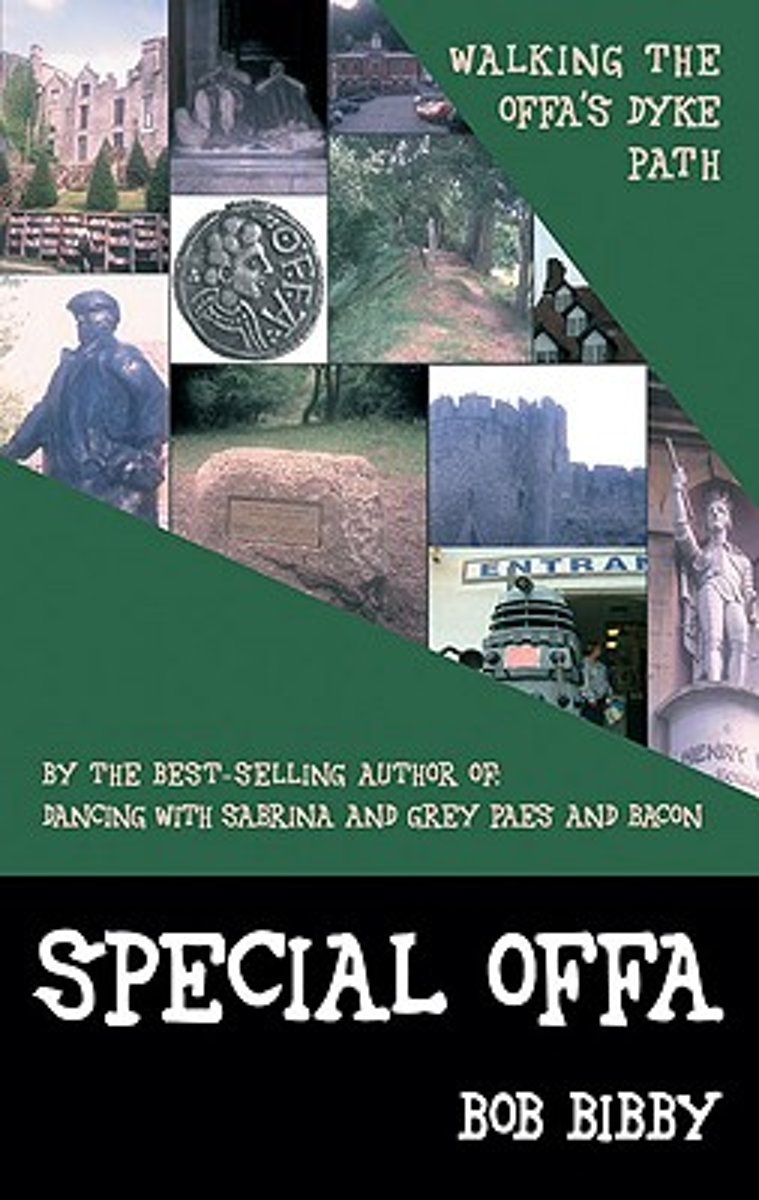
- Special Offa
- Bob Bibby is on his travels again, this time following the line of that mighty earthwork that stretches 177 miles ''from sea to sea'' along the old border between England and Wales?Offa's Dyke, built by the very first self-styled King of the Angles, the fearsome 8th century King Offa. Join Bob on an extended pub crawl as he walks the... Read more
- Also available from:
- Bol.com, Belgium
Bol.com
Belgium
Belgium
- Special Offa
- Bob Bibby is on his travels again, this time following the line of that mighty earthwork that stretches 177 miles ''from sea to sea'' along the old border between England and Wales?Offa's Dyke, built by the very first self-styled King of the Angles, the fearsome 8th century King Offa. Join Bob on an extended pub crawl as he walks the... Read more
Bol.com
Netherlands
Netherlands
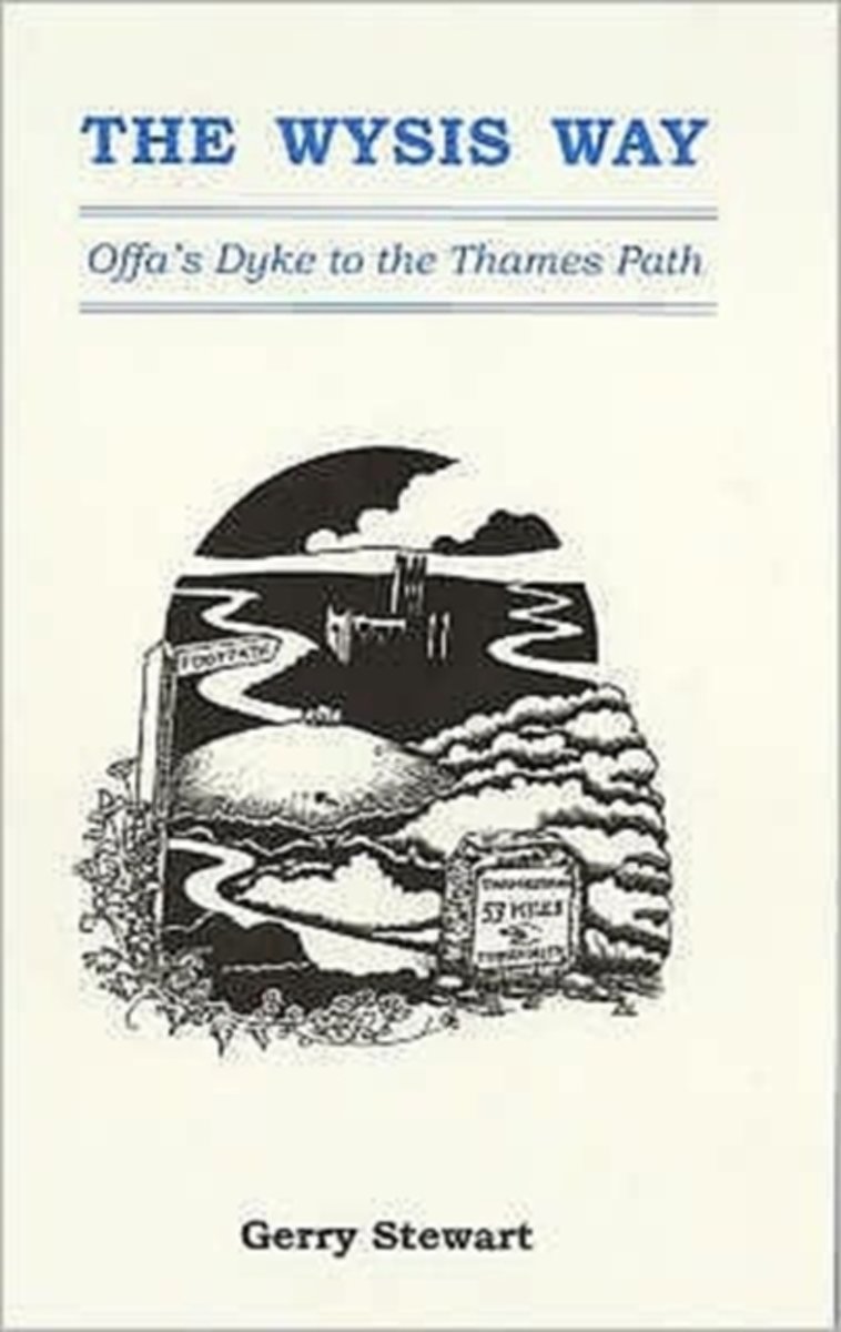
- The Wysis Way
- A walk of 55 miles through Gloucestershire between the rivers Wye, Severn & Thames, and linking two national trails, the Offa's Dyke Path & The Thames Path.From the Wye bridge at Monmouth the Wysis Way follows Offa's Dyke Path up to the Kymin before striking off eastwards through the Forest of Dean to the prominence of May Hill where the view... Read more
- Also available from:
- Bol.com, Belgium
Bol.com
Belgium
Belgium
- The Wysis Way
- A walk of 55 miles through Gloucestershire between the rivers Wye, Severn & Thames, and linking two national trails, the Offa's Dyke Path & The Thames Path.From the Wye bridge at Monmouth the Wysis Way follows Offa's Dyke Path up to the Kymin before striking off eastwards through the Forest of Dean to the prominence of May Hill where the view... Read more

Stanfords
United Kingdom
2015
United Kingdom
2015
- Wye Valley Walking: 30 Walks Throughout the Valley Between Chepstow to Plynlimon
- This guidebook includes 30 day walks in the stunning and varied lands of the Wye Valley. From its source on Plynlimon in the Welsh Cambrian mountains, down along the Wales-England border through Hay-on-Why, Hereford and Chepstow to the Severn Estuary. The routes in this guide are circular, and range in length between 5 and 15km. Every route... Read more
- Also available from:
- The Book Depository, United Kingdom
- Bol.com, Netherlands
- Bol.com, Belgium
- De Zwerver, Netherlands

The Book Depository
United Kingdom
2015
United Kingdom
2015
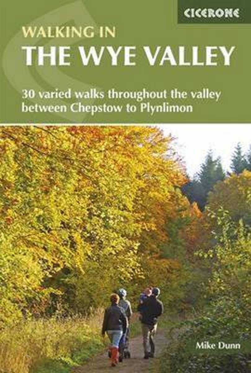
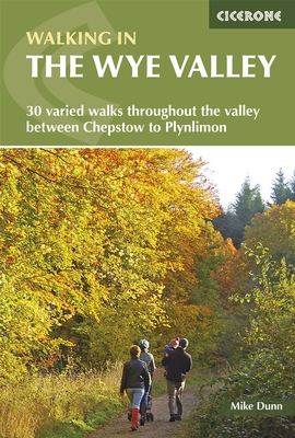
- Walking in the Wye Valley
- 30 varied walks throughout the valley between Chepstow and Plynlimon Read more
Bol.com
Netherlands
2015
Netherlands
2015
- Walking in the Wye Valley
- This guidebook includes 30 day walks in the stunning and varied lands of the Wye Valley. From its source on Plynlimon in the Welsh Cambrian mountains, down along the Wales-England border through Hay-on-Why, Hereford and Chepstow to the Severn Estuary. The routes in this guide are circular, and range in length between 5 and 15km. Every route... Read more
Bol.com
Belgium
2015
Belgium
2015
- Walking in the Wye Valley
- This guidebook includes 30 day walks in the stunning and varied lands of the Wye Valley. From its source on Plynlimon in the Welsh Cambrian mountains, down along the Wales-England border through Hay-on-Why, Hereford and Chepstow to the Severn Estuary. The routes in this guide are circular, and range in length between 5 and 15km. Every route... Read more
De Zwerver
Netherlands
2015
Netherlands
2015
- Wandelgids Walking in the Wye Valley | Cicerone
- Guidebook to 30 varied walks of 3 - 10 miles, in the valley of the Wye, the most scenic river in England and Wales, between Chepstow in the south and Plynlimon. Landscape ranges from open moorland to wooded gorges and is dotted with the sites of Iron Age hillforts and castles. Centres include Ross-on-Wye, Hereford, Hay-on-Wye and Rhayader. Read more
Bol.com
Netherlands
2014
Netherlands
2014
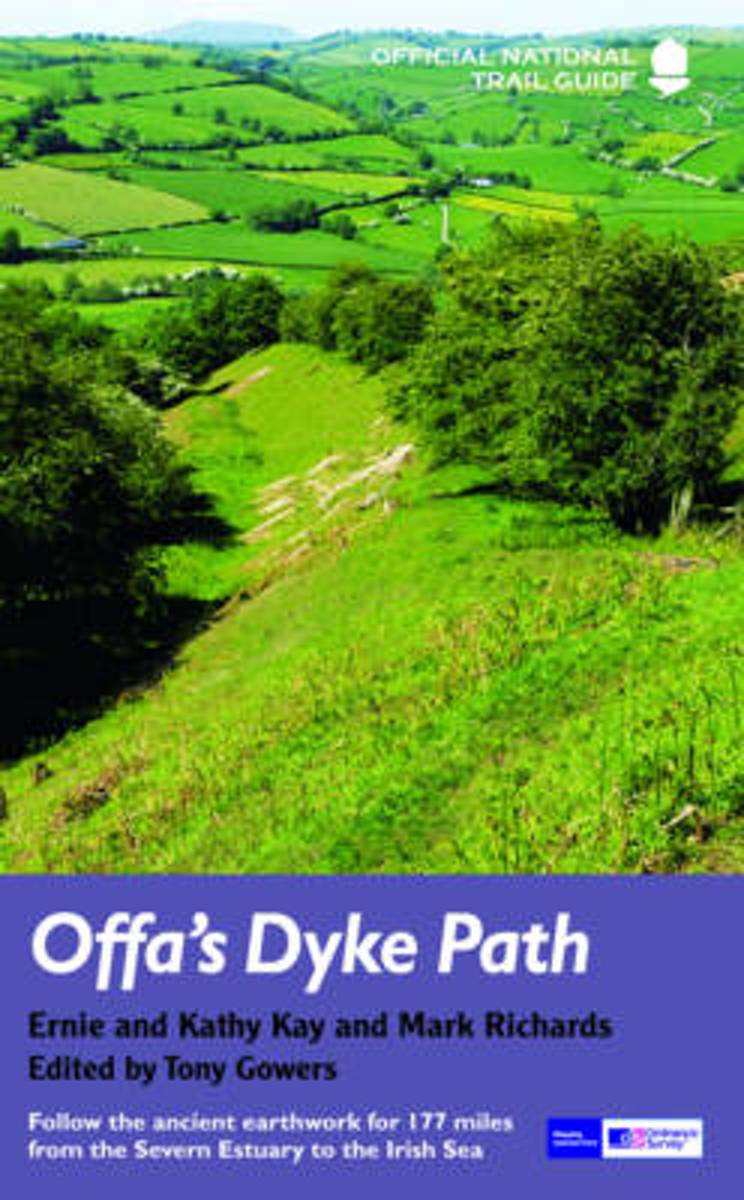
- Offa's Dyke Path
- Offa's Dyke Path (Gogledd Llwybr Clawdd Offa) is the 177-mile National Trail following the ancient earthwork that criss-crosses the border country of modern England and Wales, from the Severn Estuary to the seaside resort of Prestatyn on the Irish Sea. This is the complete, official guide for the long-distance walker or the weekend stroller.... Read more
- Also available from:
- Bol.com, Belgium
Bol.com
Belgium
2014
Belgium
2014
- Offa's Dyke Path
- Offa's Dyke Path (Gogledd Llwybr Clawdd Offa) is the 177-mile National Trail following the ancient earthwork that criss-crosses the border country of modern England and Wales, from the Severn Estuary to the seaside resort of Prestatyn on the Irish Sea. This is the complete, official guide for the long-distance walker or the weekend stroller.... Read more
Bol.com
Netherlands
Netherlands
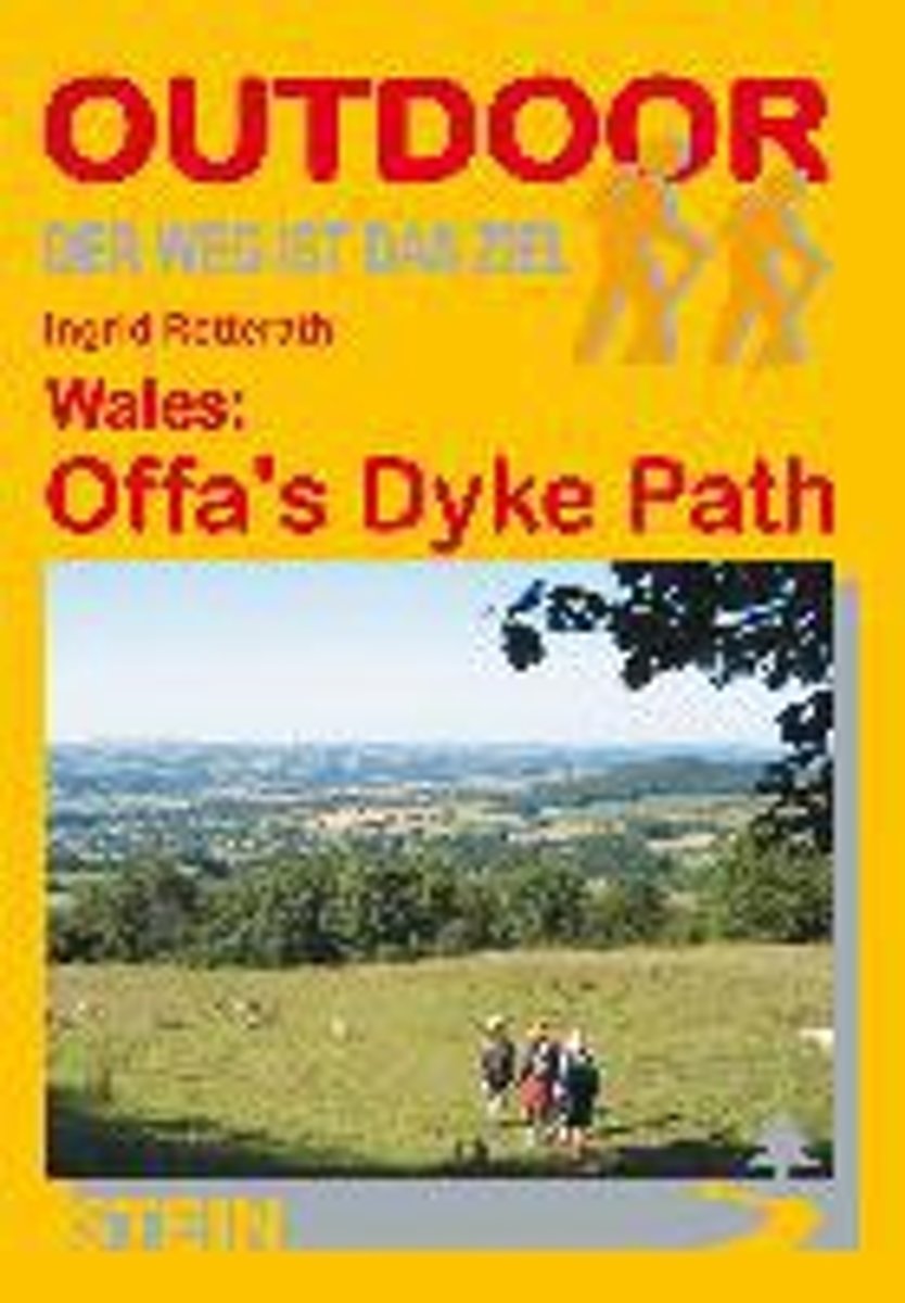
- Wales: Offa's Dyke Path
- Der Offa's Dyke Path ist einer der schönsten Long Distance Walks in Großbritannien und hat sich deshalb in den letzten Jahren auch zu einem der beliebtesten gemausert. Vom Bristol Channel im Süden zieht er sich an der Grenze zwischen England und Wales entlang bis zur Irischen See im Norden. Im Unterschied zu anderen Fernwanderwegen orientiert... Read more
- Also available from:
- Bol.com, Belgium
Bol.com
Belgium
Belgium
- Wales: Offa's Dyke Path
- Der Offa's Dyke Path ist einer der schönsten Long Distance Walks in Großbritannien und hat sich deshalb in den letzten Jahren auch zu einem der beliebtesten gemausert. Vom Bristol Channel im Süden zieht er sich an der Grenze zwischen England und Wales entlang bis zur Irischen See im Norden. Im Unterschied zu anderen Fernwanderwegen orientiert... Read more
Maps

Stanfords
United Kingdom
United Kingdom
- Cycling Lon Las Cymru: 250 miles through the heart of Wales on traffic-free paths and quiet roads
- Guidebook to cycling Lon Las Cymru, a 255 mile (410km) route from Cardiff, or 242 mile (390km) from Chepstow to Holyhead, showcasing Wales`s beautiful rural heartland. Passing through the Brecon Beacons National Park, Snowdonia National Park, and over the Black Mountains, the Brecon Beacons and the Cambrian Mountains, the route is as scenic as... Read more

- Also available from:
- De Zwerver, Netherlands


Bol.com
Netherlands
Netherlands
- Offa's Dyke Path South
- Wandelkaart van het Zuidelijk deel van Offa's Dyke Path met uitsnedes van de route. Offa's Dyke Path is a National Trail. It runs along the border between Wales and England. Offa was a famous king of Mercia from 757 to 796, ruling an area stretching across a large part of England. Offa's Dyke Path runs from sea to sea - the Severn... Read more
- Also available from:
- Bol.com, Belgium
Bol.com
Belgium
Belgium
- Offa's Dyke Path South
- Wandelkaart van het Zuidelijk deel van Offa's Dyke Path met uitsnedes van de route. Offa's Dyke Path is a National Trail. It runs along the border between Wales and England. Offa was a famous king of Mercia from 757 to 796, ruling an area stretching across a large part of England. Offa's Dyke Path runs from sea to sea - the Severn... Read more

Stanfords
United Kingdom
2014
United Kingdom
2014
- Glyndwr`s Way Harvey National Trail XT40
- Glyndwr`s Way, a 217km / 135 mile long trail from Knighton in Powys to Welshpool presented at 1:40,000 on a GPS compatible, light, waterproof and tear-resistant map from Harvey Map Services. The whole route is covered on eight overlapping panels. Map legend includes Welsh; most of the additional information is in English only.Maps in the... Read more
- Also available from:
- De Zwerver, Netherlands

De Zwerver
Netherlands
2014
Netherlands
2014
- Wandelkaart Glyndwr's Way | Harvey Maps
- Glyndwr's Way, a 217km / 135 mile long trail from Knighton in Powys to Welshpool presented at 1:40,000 on a GPS compatible, light, waterproof and tear-resistant map from Harvey Map Services. The whole route is covered on eight overlapping panels. Map legend includes Welsh; most of the additional information is in English only.Maps in the Harvey Read more