
New Forest
Description
Region and National Park in southern England, Hampshire. The name was first used in 1079, when William I created a royal forest in this place. Nowadays it is a flat area of poor pasture land and heathland, and large chuncks of broadleaved woodland. It is a popular recreation area in a crowded part of England.
Trails in this region
Links
Facts
Reports
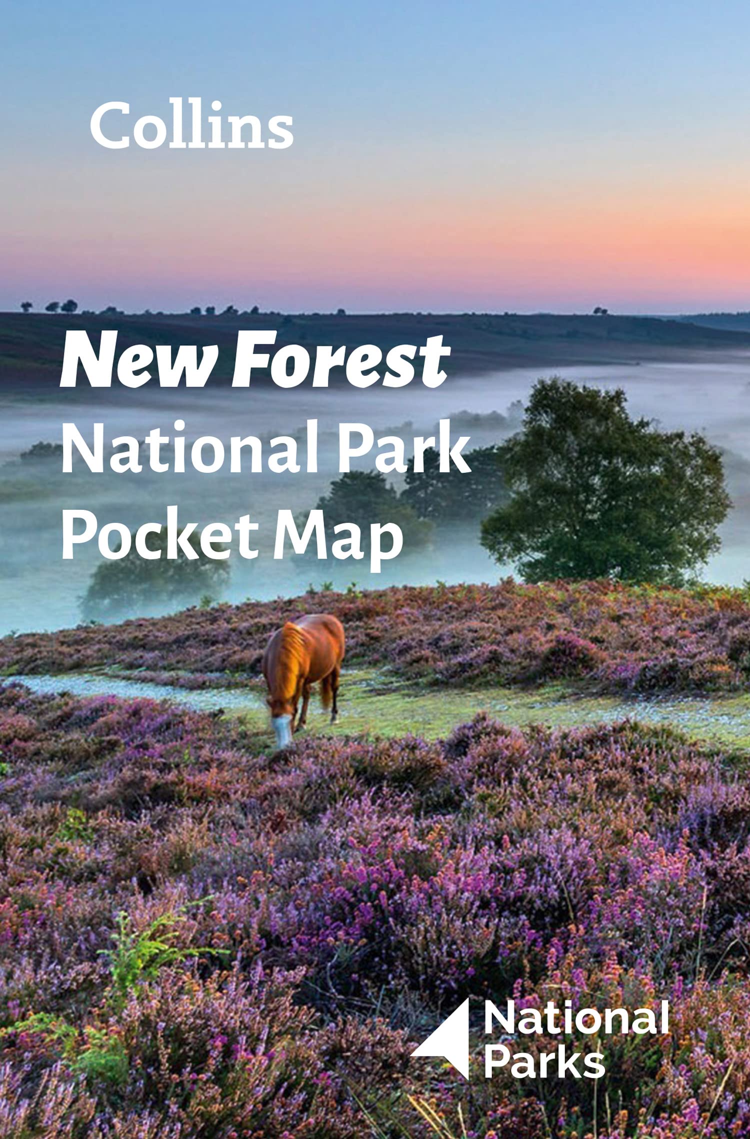
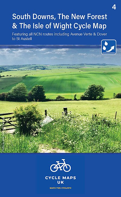
Guides and maps
Lodging
Organisations
Tour operators
GPS
Other
Books

Stanfords
United Kingdom
2021
United Kingdom
2021
- The Rough Guide to Walks in & around London (Travel Guide with Free eBook)
- The Rough Guide to Walks in and Around LondonMake the most of your time on Earth with the ultimate travel guides.World-renowned `tell it like it is` guidebook available now with a free eBook Discover walks in and around London with this comprehensive, entertaining, `tell it like it is` Rough Guide, packed with our experts` honest and... Read more

Stanfords
United Kingdom
United Kingdom
- Hampshire & The New Forest Year Round Walks
- These 20 circular walks, varying in length from 2 to 7 miles, take in renowned beauty spots, hidden gems and must-sees from across Hampshire & the New Forest. The guide has been divided into seasons, so you`ll find a recommendation for every day of the year. Highlights include: * Spring: Hurstbourne Tarrant with its thatched cottages, and the... Read more

Stanfords
United Kingdom
United Kingdom
- Hampshire & the New Forest - Kiddiwalks
- A series of twenty short, circular walks especially designed for children. Includes routes at Danebury Hill Fort, Queen Victoria Country Park, Fort Nelson and Basingstoke Common. In colour. Read more

Stanfords
United Kingdom
United Kingdom
- New Forest - Southampton, Ringwood, Ferndown, Lymington, Christchurch & Bournemouth OS Explorer Active Map OL22 (waterproof)
- The New Forest on a detailed topographic and GPS compatible map OL22, waterproof version, from the Ordnance Survey’s 1:25,000 Explorer series. Coverage along the coast extends from Southampton with Southampton Water to Bournemouth, and includes Eastleigh, Totton, Lymington with the ferry link to the Isle of Wight, Christchurch, Ringwood, the... Read more

Stanfords
United Kingdom
United Kingdom
- Bournemouth, Purbeck, Wimborne Minster & Ringwood OS Landranger Active Map 195 (waterproof)
- Bournemouth and the Isle of Purbeck area, including part of the New Forest National Park and a section of the South West Coast Path / E9 European Long-distance Path, on a waterproof and tear-resistant OS Active version of map No. 195 from the Ordnance Survey’s Landranger series at 1:50,000, with contoured and GPS compatible topographic mapping... Read more

Stanfords
United Kingdom
United Kingdom
- The Solent, Isle of Wight, Southampton & Portsmouth OS Landranger Active Map 196 (waterproof)
- Isle of Wight with the Southampton - Portsmouth area, including part of the New Forest National Park and a section of the E9 European Long-distance Path, on a waterproof and tear-resistant OS Active version of map No. 196 from the Ordnance Survey’s Landranger series at 1:50,000, with contoured and GPS compatible topographic mapping plus tourist... Read more

Stanfords
United Kingdom
United Kingdom
- Meon Valley, Portsmouth, Gosport & Fareham OS Explorer Active Map OL3 (waterproof)
- Meon Valley, Portsmouth, Gosport and Fareham area of south Hampshire on a detailed topographic and GPS compatible map OL3, waterproof version, from the Ordnance Survey’s 1:25,000 Explorer series. Coverage extends from the coast to Owslebury and East Meon, and includes part of the South Downs National Park, a section of the South Downs Way... Read more

Stanfords
United Kingdom
United Kingdom
- Hampshire and the New Forest: A Dog Walker`s Guide
- The 20 circular routes in this new book will give you and your dog the chance to explore Hampshire & The New Forest countryside. There are walks over wide open grassland and hills; through quiet valleys and ancient woodland; and beside tranquil rivers, streams and the beautiful coastline of the area.All the walks include details of:- Livestock... Read more
- Also available from:
- The Book Depository, United Kingdom


Stanfords
United Kingdom
United Kingdom
- The Solent, Isle of Wight, Southampton & Portsmouth OS Landranger Map 196 (paper)
- Isle of Wight with the Southampton - Portsmouth area, including part of the New Forest National Park and a section of the E9 European Long-distance Path, on a paper version of map No. 196 from the Ordnance Survey’s Landranger series at 1:50,000, with contoured and GPS compatible topographic mapping plus tourist information.MOBILE DOWNLOADS: As... Read more
- Also available from:
- The Book Depository, United Kingdom
- De Zwerver, Netherlands


De Zwerver
Netherlands
Netherlands

Stanfords
United Kingdom
United Kingdom
- The Circling Sky: On Nature and Belonging in an Ancient Forest
- From a 2018 Wainwright Prize shortlisted author, THE CIRCLING SKY is part childhood memoir, blended with exquisite nature observation, and the story of one man`s journey over a year to one of the UK`s key natural habitats, the New Forest of HampshireIn the form of several journeys, beginning in January 2019, Neil Ansell returns for solitary... Read more
- Also available from:
- The Book Depository, United Kingdom

The Book Depository
United Kingdom
United Kingdom
- The Circling Sky
- On Nature and Belonging in an Ancient Forest Read more

Stanfords
United Kingdom
United Kingdom
- Bournemouth, Purbeck, Wimborne Minster & Ringwood OS Landranger Map 195 (paper)
- Bournemouth and the Isle of Purbeck area, including part of the New Forest National Park and a section of the South West Coast Path / E9 European Long-distance Path, on a paper version of map No. 195 from the Ordnance Survey’s Landranger series at 1:50,000, with contoured and GPS compatible topographic mapping plus tourist information.MOBILE... Read more
- Also available from:
- The Book Depository, United Kingdom
- De Zwerver, Netherlands


De Zwerver
Netherlands
Netherlands

- Also available from:
- De Zwerver, Netherlands

Stanfords
United Kingdom
United Kingdom
- Meon Valley, Portsmouth, Gosport & Fareham OS Explorer Map OL3 (paper)
- Meon Valley, Portsmouth, Gosport and Fareham area of south Hampshire on a detailed topographic and GPS compatible map OL3, paper version, from the Ordnance Survey’s 1:25,000 Explorer series. Coverage extends from the coast to Owslebury and East Meon, and includes part of the South Downs National Park, a section of the South Downs Way National... Read more
- Also available from:
- The Book Depository, United Kingdom
- De Zwerver, Netherlands


De Zwerver
Netherlands
Netherlands

- Also available from:
- De Zwerver, Netherlands

Maps
Stanfords
United Kingdom
United Kingdom
- Southampton and Totton Past and Present
- Southampton and Totton in the Cassini Past and Present map series which covers town and cities of England and Wales and offers a unique way of tracing their history and expansion by showing four different periods of their development using Ordnance Survey mapping from the mid-19th century, the late 19th century, the 1920s and the present day.... Read more

Stanfords
United Kingdom
United Kingdom
- Salisbury and The Plain 1919
- Map No. 184, Salisbury and The Plain 1919, in the Cassini Historical Series of old Ordnance Survey mapping of England and Wales at 1:50,000 in a format designed to offer a convenient comparison with the present day coverage from the OS, and most locations in three different editions. Old historical maps have been combined so that the sheet... Read more
Stanfords
United Kingdom
United Kingdom
- Salisbury and The Plain 1897-1899
- Map No. 184, Salisbury and The Plain 1897-1899, in the Cassini Historical Series of old Ordnance Survey mapping of England and Wales at 1:50,000 in a format designed to offer a convenient comparison with the present day coverage from the OS, and most locations in three different editions. Old historical maps have been combined so that the sheet... Read more
Stanfords
United Kingdom
United Kingdom
- Winchester and Basingstoke 1897-1900
- Map No. 185, Winchester and Basingstoke 1897-1900, in the Cassini Historical Series of old Ordnance Survey mapping of England and Wales at 1:50,000 in a format designed to offer a convenient comparison with the present day coverage from the OS, and most locations in three different editions. Old historical maps have been combined so that the... Read more
Stanfords
United Kingdom
United Kingdom
- Salisbury and The Plain 1811-1919 (3-map set)
- Map No. 184, Salisbury and The Plain 1897-1899, in the Cassini Historical Series of old Ordnance Survey mapping of England and Wales at 1:50,000 in a format designed to offer a convenient comparison with the present day coverage from the OS, and most locations in three different editions. Old historical maps have been combined so that the sheet... Read more
Stanfords
United Kingdom
United Kingdom
- Winchester and Basingstoke 1810-1919 (3-map set)
- Map No. 185, Winchester and Basingstoke 1897-1900, in the Cassini Historical Series of old Ordnance Survey mapping of England and Wales at 1:50,000 in a format designed to offer a convenient comparison with the present day coverage from the OS, and most locations in three different editions. Old historical maps have been combined so that the... Read more

Stanfords
United Kingdom
United Kingdom
- Hampshire & The Isle of Wight Cycle Tours
- Hampshire and the Isle of Wight is one of 10 titles in the updated Cycle Tours series. The series has now been in continuous print for more than 15 years and with regular route revisions and updating the successful formula has gathered a large following.Each book in the series contains 20 routes all of which are either totally new or have been... Read more

Stanfords
United Kingdom
United Kingdom
- Surrey & West Sussex Cycle Tours
- ”Surrey and West Sussex” is one of 10 titles in the updated ”Cycle Tours” series. The series has now been in continuous print for more than 15 years and with regular route revisions and updating the successful formula has gathered a large following. Each book in the series contains 20 routes all of which are either totally new or have been... Read more
Stanfords
United Kingdom
United Kingdom
- Winchester and Basingstoke 1810-1817
- Map No. 185, Winchester and Basingstoke 1810-1817, in the Cassini Historical Series of old Ordnance Survey mapping of England and Wales at 1:50,000 in a format designed to offer a convenient comparison with the present day coverage from the OS, and most locations in three different editions. Old historical maps have been combined so that the... Read more
Stanfords
United Kingdom
United Kingdom
- Winchester and Basingstoke 1919
- Map No. 185, Winchester and Basingstoke 1919, in the Cassini Historical Series of old Ordnance Survey mapping of England and Wales at 1:50,000 in a format designed to offer a convenient comparison with the present day coverage from the OS, and most locations in three different editions. Old historical maps have been combined so that the sheet... Read more
Stanfords
United Kingdom
United Kingdom
- Salisbury and the Plain 1811-1817
- Map No. 184, Salisbury and The Plain 1811-1817, in the Cassini Historical Series of old Ordnance Survey mapping of England and Wales at 1:50,000 in a format designed to offer a convenient comparison with the present day coverage from the OS, and most locations in three different editions. Old historical maps have been combined so that the sheet... Read more

Stanfords
United Kingdom
United Kingdom
- Snowdon & The Conway Valley AA Walker`s Map 4
- Snowdon and the Conwy Valley at 1:25,000 in a series of Walker’s Maps published by the AA with the cartography from the Ordnance Survey’s Explorer series. The map is double-sided and coverage includes parts of the New Forest National Park, Bangor, Caernarfon, Llanberis, Llanwnda, Rhyd-Ddu, Batws-y-Coed, Capel Curig, Tal-y-Bont, Llanfairfechan,... Read more
- Also available from:
- The Book Depository, United Kingdom

The Book Depository
United Kingdom
United Kingdom
- Snowdon and The Conwy Valley
- Snowdon and the Conwy Valley at 1:25,000 in a series of Walker Read more
De Zwerver
Netherlands
2022
Netherlands
2022
De Zwerver
Netherlands
2023
Netherlands
2023